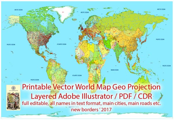
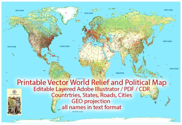
The world’s oceans and seas cover about 71% of the Earth’s surface and play a crucial role in regulating the planet’s climate and supporting a diverse range of ecosystems. Here’s a brief description of the main oceans and some notable seas:
- Pacific Ocean:
- The largest and deepest ocean, covering more than 63 million square miles.
- Stretches from the Arctic in the north to the Antarctic in the south.
- Contains numerous islands, including the Hawaiian Islands, Easter Island, and many others.
- Atlantic Ocean:
- The second-largest ocean, extending from the Arctic to the Antarctic region.
- Separates the Americas from Europe and Africa.
- Contains several prominent features, such as the Mid-Atlantic Ridge and the Sargasso Sea.
- Indian Ocean:
- The third-largest ocean, located between Africa, Asia, Australia, and the Indian subcontinent.
- Known for its warm temperatures and diverse marine life.
- Features the Arabian Sea, Bay of Bengal, and Andaman Sea, among others.
- Southern Ocean:
- Recognized as the newest and smallest of the world’s oceans.
- Surrounds Antarctica and extends north to about 60 degrees south latitude.
- Often considered an extension of the Atlantic, Pacific, and Indian Oceans.
- Arctic Ocean:
- The smallest and shallowest of the world’s oceans, located around the North Pole.
- Covered by sea ice for much of the year, with a significant reduction in ice cover due to climate change.
- Surrounded by Arctic nations such as Canada, Russia, the United States, Norway, and Denmark.
Notable Seas:
- Mediterranean Sea:
- Located between Southern Europe, Northern Africa, and Western Asia.
- Connected to the Atlantic Ocean through the Strait of Gibraltar.
- Known for its rich history, diverse cultures, and unique marine environment.
- Caribbean Sea:
- Situated between the Americas, encompassing the Caribbean islands.
- Known for its warm waters, coral reefs, and tropical climate.
- South China Sea:
- A marginal sea in the Pacific Ocean, bordered by Southeast Asian countries, China, Taiwan, and the Philippines.
- Subject to territorial disputes due to its strategic importance for shipping and resources.
- Red Sea:
- Located between northeastern Africa and the Arabian Peninsula.
- Connects to the Mediterranean Sea through the Suez Canal.
- Known for its unique marine life and historical significance.
These oceans and seas collectively influence global weather patterns, support marine biodiversity, and play a vital role in the Earth’s climate system.
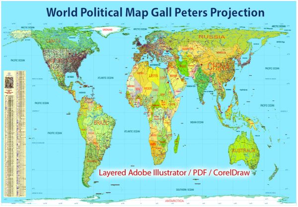
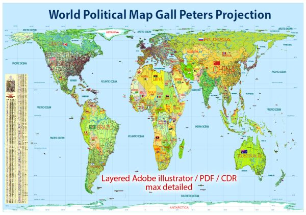
Vectormap.Net provide you with the most accurate and up-to-date vector maps in Adobe Illustrator, PDF and other formats, designed for editing and printing. Please read the vector map descriptions carefully.

 Author: Kirill Shrayber, Ph.D. FRGS