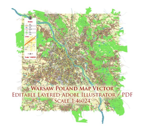
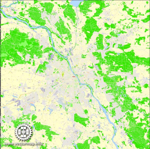
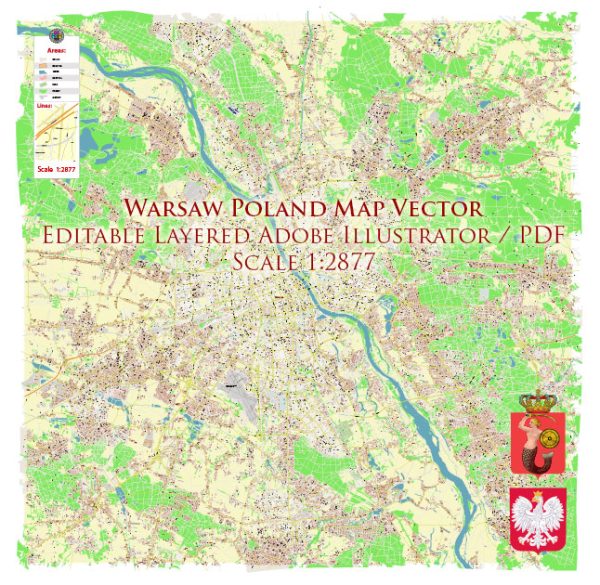
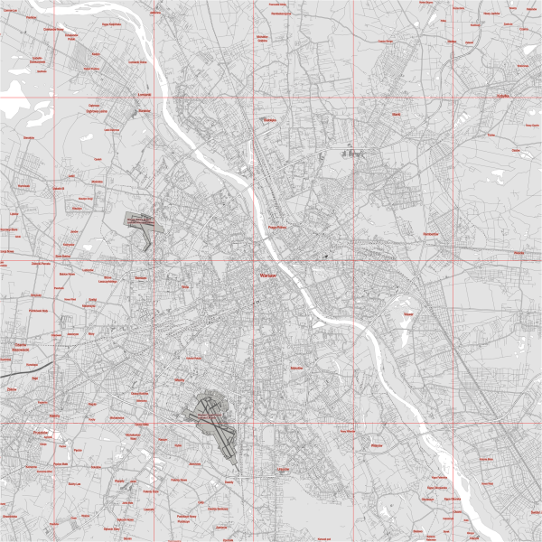
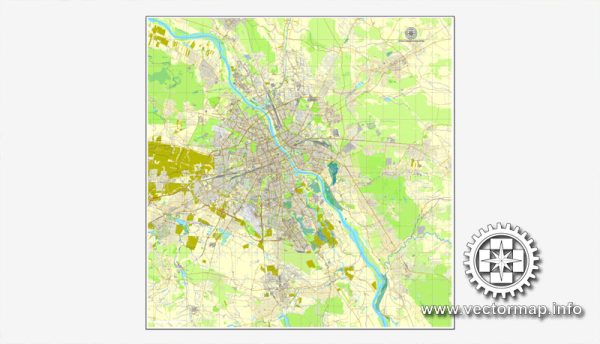
Warsaw, the capital and largest city of Poland, is situated on the Vistula River, and it is known for its rich history, vibrant culture, and diverse architecture. Here’s a brief overview of the principal waterways, bridges, and main streets in Warsaw:
- Vistula River (Wisła): The Vistula River is the longest river in Poland and serves as a significant waterway for Warsaw. It flows through the city, dividing it into two parts: the left bank (western side) and the right bank (eastern side).
- Bridges:
- Świętokrzyski Bridge (Most Świętokrzyski): This cable-stayed bridge connects the Powiśle district on the western bank with the Praga district on the eastern bank of the Vistula River. It’s known for its modern design and unique lighting.
- Poniatowski Bridge (Most Poniatowskiego): This historic bridge spans the Vistula River and connects the Powiśle district with the Praga district. It offers picturesque views of the river and the city.
- Main Streets:
- Nowy Świat: Translated as “New World,” Nowy Świat is one of Warsaw’s most famous and elegant streets. It runs from Three Crosses Square to the Royal Castle and is lined with shops, cafes, and historic buildings.
- Krakowskie Przedmieście: This is one of the most prestigious streets in Warsaw, extending from the Royal Castle to the University of Warsaw. It is part of the Royal Route and features numerous historic landmarks and palaces.
- Marszałkowska Street: A major thoroughfare in Warsaw, Marszałkowska Street is known for its commercial activity, shops, and office buildings. It runs from Bank Square to Plac Konstytucji (Constitution Square).
- Aleje Jerozolimskie: This is one of the longest and busiest streets in Warsaw, stretching from the Palace of Culture and Science to the southern parts of the city. It’s a commercial and entertainment hub with shops, restaurants, and theaters.
- Royal Route (Trakt Królewski): This historic route connects the Royal Castle with Wilanów Palace, passing through Nowy Świat and Krakowskie Przedmieście. It is characterized by its rich architectural heritage and is a popular tourist attraction.
Warsaw’s layout has been significantly influenced by its history, including periods of destruction and reconstruction. The cityscape today is a blend of historic landmarks, modern architecture, and green spaces along the Vistula River.
Vectormap.Net provide you with the most accurate and up-to-date vector maps in Adobe Illustrator, PDF and other formats, designed for editing and printing. Please read the vector map descriptions carefully.

 Author: Kirill Shrayber, Ph.D. FRGS