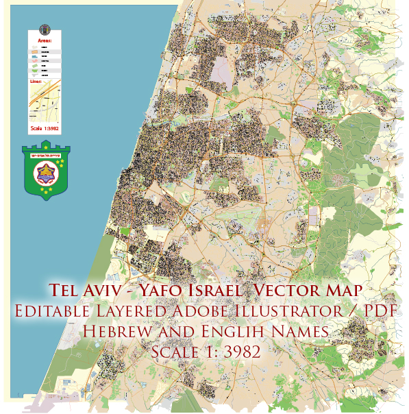
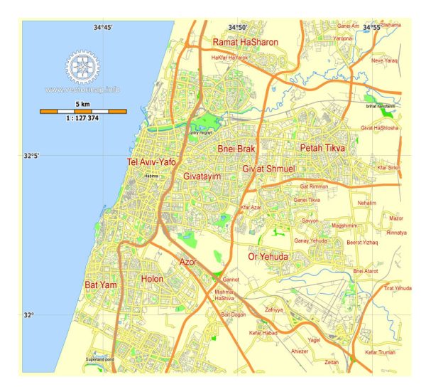
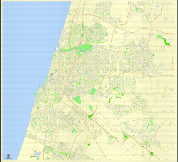
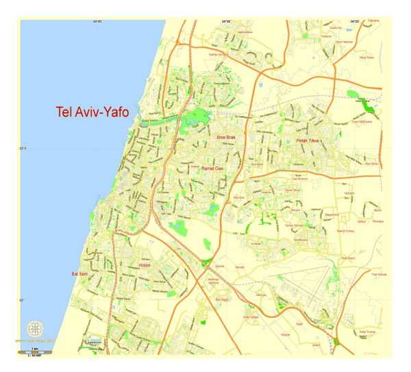
Tel Aviv-Yafo is a vibrant and bustling city located on the Mediterranean coast of Israel. It is known for its modern architecture, cultural diversity, and lively atmosphere. The city is a major economic and cultural hub in the region. Here’s a brief overview of some principal waterways, bridges, and main streets in Tel Aviv-Yafo:
Waterways:
- Mediterranean Sea: Tel Aviv-Yafo is situated along the coastline of the Mediterranean Sea, providing stunning views and access to beautiful beaches. The sea serves as a major recreational area for residents and tourists alike.
- Yarkon River: The Yarkon River flows through the northern part of Tel Aviv, offering a picturesque setting for parks and recreational activities. The Yarkon Park, one of the largest urban parks in Israel, is located along the river and is a popular destination for outdoor enthusiasts.
Bridges:
- Rokach Bridge: This bridge spans the Yarkon River and connects northern and central parts of Tel Aviv. It is a significant transportation link in the city.
- Jerusalem (Begin) Bridge: Connecting Tel Aviv to neighboring cities, this bridge crosses the Ayalon River and is a crucial route for commuters.
Main Streets:
- Rothschild Boulevard: A central and iconic street in Tel Aviv, Rothschild Boulevard is known for its tree-lined paths, historic Bauhaus architecture, and a lively atmosphere. It is a hub for cafes, restaurants, and cultural events.
- Dizengoff Street: One of the city’s main commercial and shopping streets, Dizengoff Street is located in the heart of Tel Aviv. It is lined with shops, boutiques, and eateries, making it a popular destination for both locals and tourists.
- Allenby Street: Another significant thoroughfare in Tel Aviv, Allenby Street is known for its nightlife, entertainment venues, and diverse range of businesses.
- Ben Yehuda Street: This street is located near the beach and is a popular area for shopping, dining, and enjoying the coastal ambiance.
- Hayarkon Street: Running parallel to the beach, Hayarkon Street is a major coastal road that provides access to many of Tel Aviv’s beachfront attractions, hotels, and restaurants.
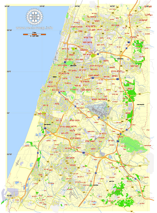
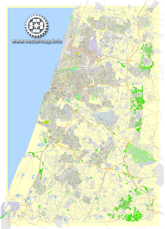
These are just a few examples, and the city is interconnected by a network of streets and boulevards, creating a dynamic and accessible urban environment. Vectormap.Net provide you with the most accurate and up-to-date vector maps in Adobe Illustrator, PDF and other formats, designed for editing and printing. Please read the vector map descriptions carefully.

 Author: Kirill Shrayber, Ph.D. FRGS