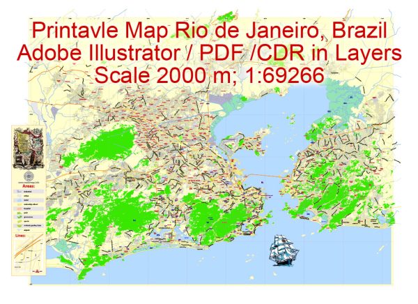
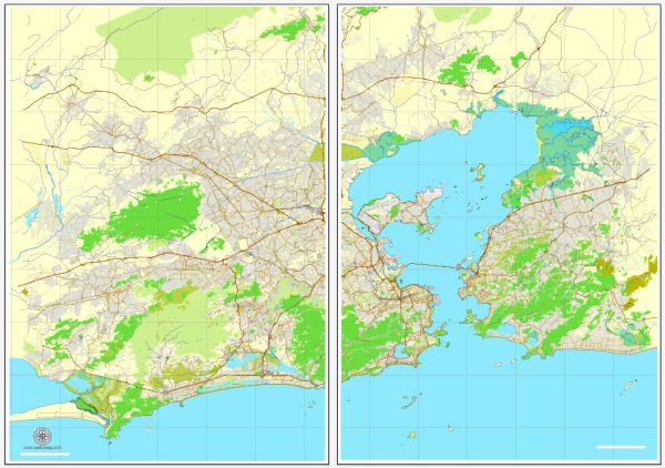
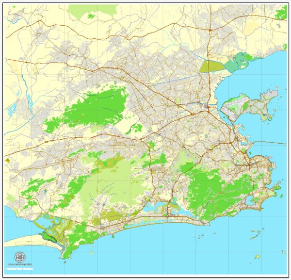
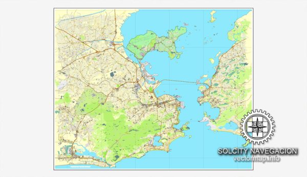
Rio de Janeiro, Brazil, is a city known for its stunning geography, vibrant culture, and iconic landmarks. The city is characterized by its coastal location, nestled between mountains and the Atlantic Ocean. While Rio de Janeiro is not defined by an extensive network of waterways, it does have some prominent ones, along with notable bridges and main streets.
Vectormap.Net provide you with the most accurate and up-to-date vector maps in Adobe Illustrator, PDF and other formats, designed for editing and printing. Please read the vector map descriptions carefully.
Waterways:
- Guanabara Bay: One of the most significant water features in Rio de Janeiro, Guanabara Bay is a large bay with several islands. The iconic Sugarloaf Mountain (Pão de Açúcar) is located at the entrance of the bay.
Bridges:
- Rio-Niterói Bridge (Ponte Rio-Niterói): Connecting Rio de Janeiro to the city of Niterói across the Guanabara Bay, this bridge is one of the longest bridges in the world. It offers spectacular views of the bay and the city skyline.
Main Streets and Avenues:
- Avenida Atlântica: Running along the iconic Copacabana Beach, Avenida Atlântica is a bustling avenue lined with shops, restaurants, and hotels. It is a popular spot for both locals and tourists.
- Avenida Rio Branco: Located in the downtown area, Avenida Rio Branco is a major thoroughfare and commercial center. It is known for its historic buildings, shops, and cultural institutions.
- Avenida das Américas: Stretching through the Barra da Tijuca neighborhood, Avenida das Américas is a significant avenue that is part of the modern development in the western part of the city. It is lined with malls, restaurants, and residential complexes.
- Rua Visconde de Pirajá: Situated in the trendy Ipanema district, this street is known for its upscale shops, boutiques, and cafes. It is a fashionable area and a hub for shopping and dining.
- Rua do Lavradio: Found in the historic neighborhood of Lapa, Rua do Lavradio is famous for its antique shops, bars, and the vibrant Lavradio Street Fair, which takes place on the first Saturday of each month.
- Avenida Presidente Vargas: Running through the heart of downtown Rio de Janeiro, Avenida Presidente Vargas is a major avenue that passes by important landmarks, government buildings, and commercial areas.
These are just a few examples, and Rio de Janeiro is a city with a diverse and dynamic urban landscape, offering a mix of natural beauty and urban infrastructure. The city’s streets and landmarks are an integral part of its charm and cultural identity.


 Author: Kirill Shrayber, Ph.D. FRGS