Taxonomy: Product Tags for this Vector Map
Extended Description of the Vector Map
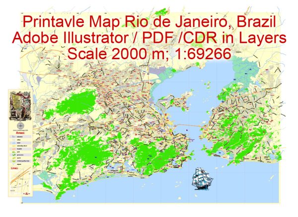
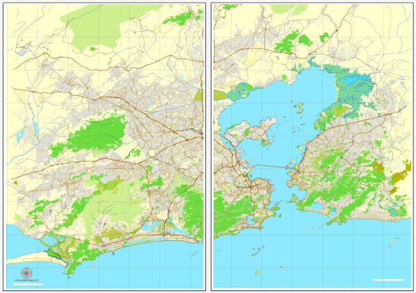
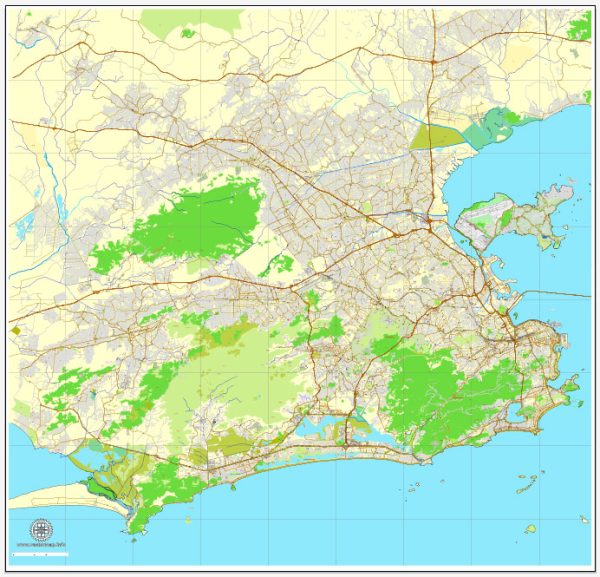
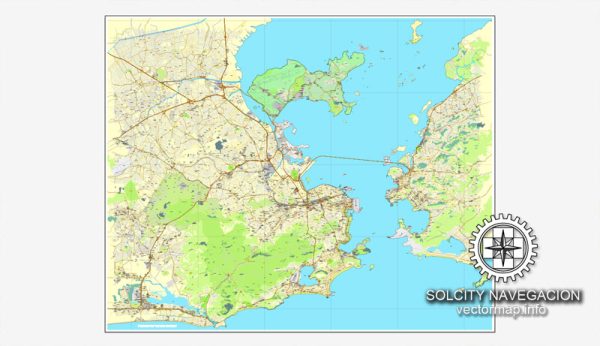
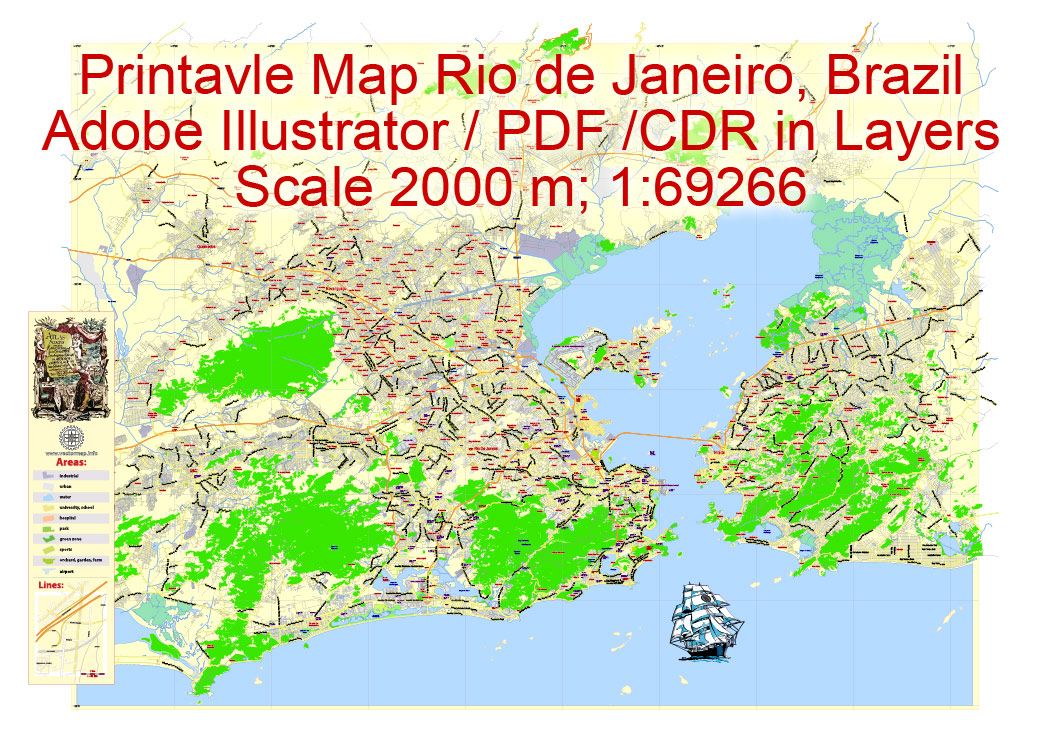
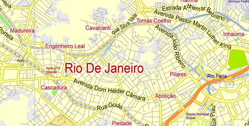
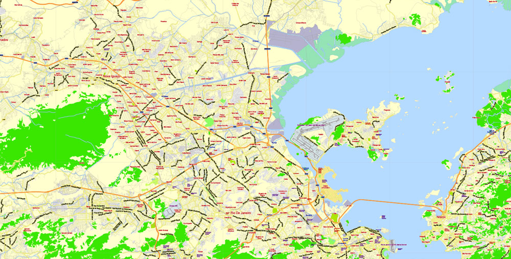
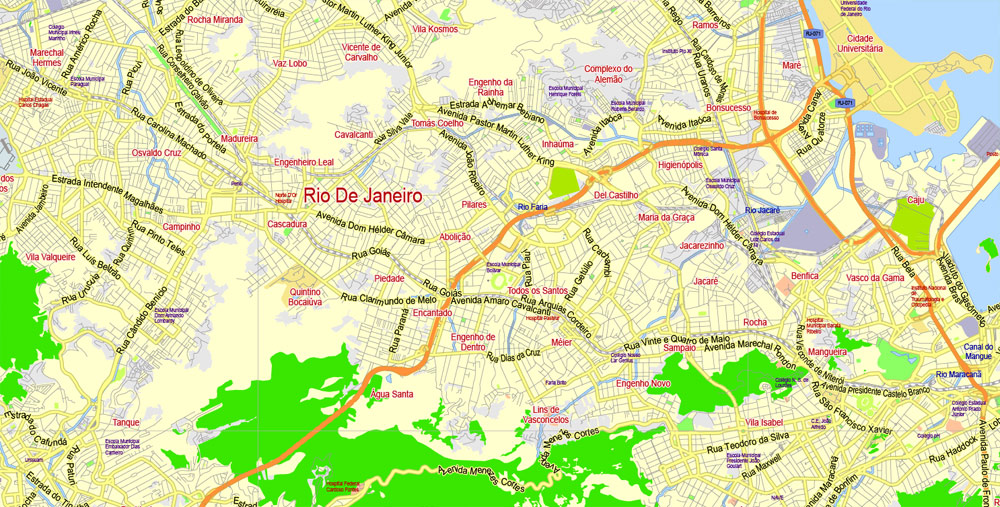
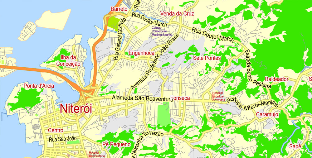
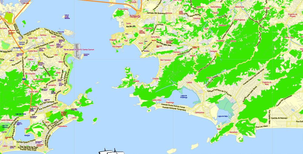
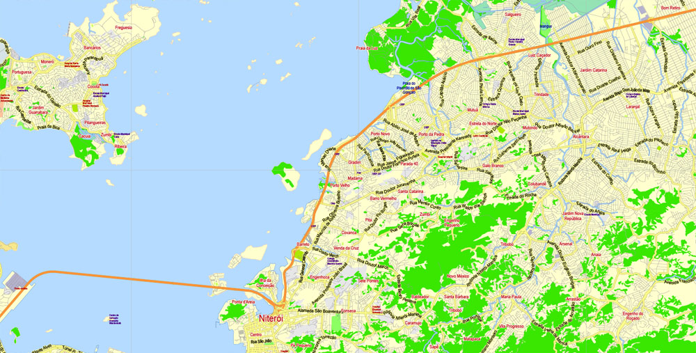
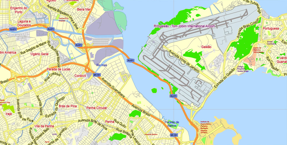
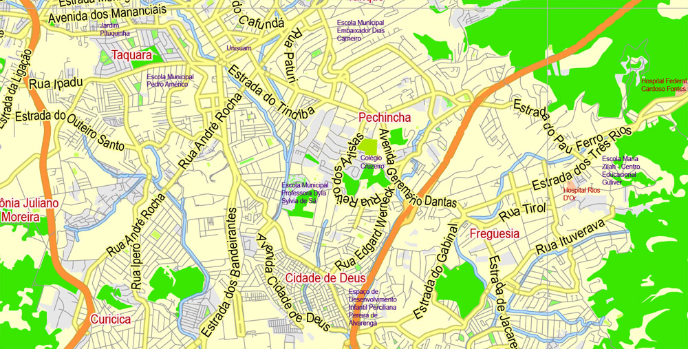
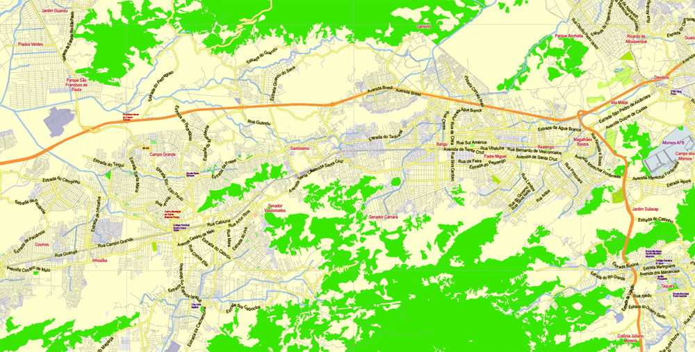
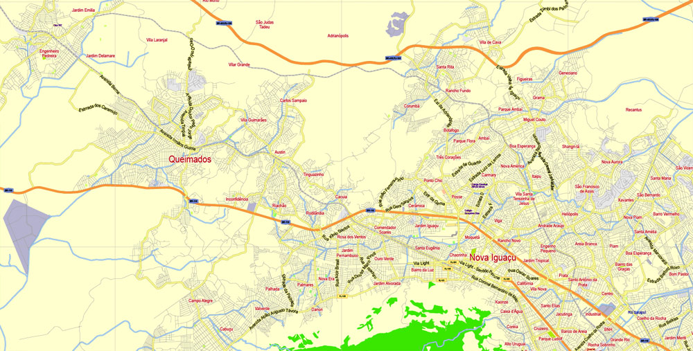
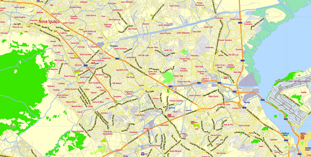
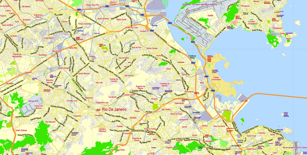
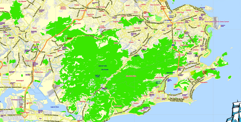
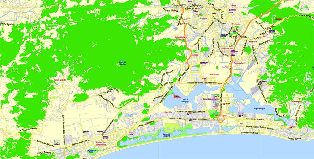
Printable PDF Map Rio de Janeiro Brazil exact vector City Plan scale 1:69266, full editable, Adobe PDF, scalable, text format street names, 31 mb ZIP
Principal streets named, Main Objects. Map for design, printing, arts, projects, presentations, for architects, designers and builders, business, logistics.
Layers: color_fills, streets_roads, names_sreets, names_places, labels_roads, names_objects, grids, legend, etc.
The most exact and detailed map of the city.
For print any formats.
DWG, DXF, EPS and other formats – on request, same price, please, contact
Rio de Janeiro
Municipality in Brazil
Rio de Janeiro is a huge seaside city in Brazil, famed for its Copacabana and Ipanema beaches, 38m Christ the Redeemer statue atop Mount Corcovado and for Sugarloaf Mountain, a granite peak with cable cars to its summit. The city is also known for its sprawling favelas (shanty towns). Its raucous Carnaval festival, featuring parade floats, flamboyant costumes and samba dancers, is considered the world’s largest.
Area
• Municipality 1,221 km2 (486.5 sq mi)
• Metro 4,539.8 km2 (1,759.6 sq mi)
Elevation from 0 to 1,020 m (from 0 to 3,349 ft)
Population
• Municipality 6,453,682
• Rank 2nd
• Urban 11,616,000
• Metro 12,280,702
• Metro density 2,705.1/km2 (7,006/sq mi)
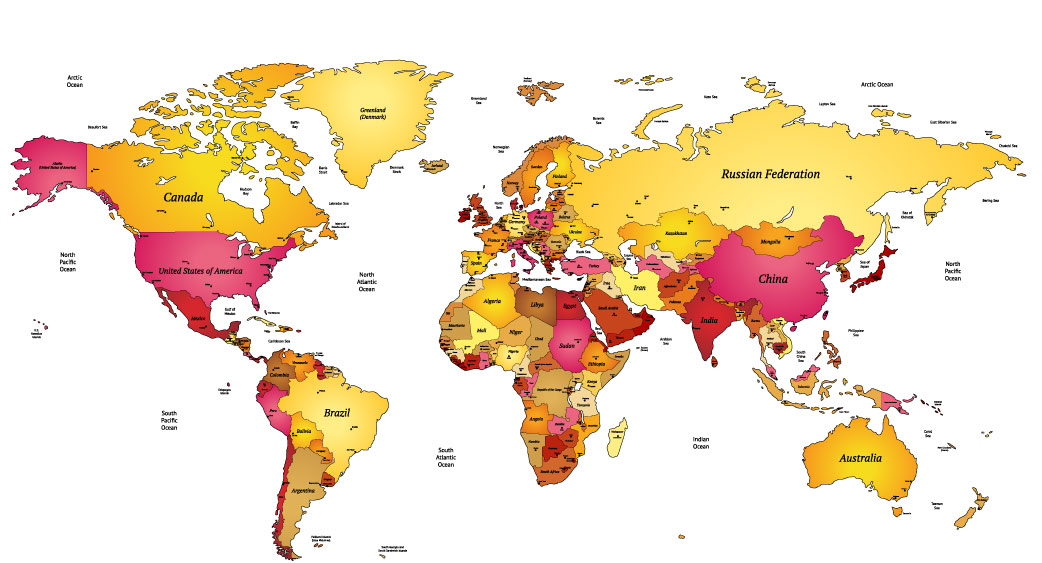
Free vector map World, Adobe Illustrator, download now maps vector clipart Map for design, projects, presentation free to use as you like. World map vector, Vector world map, World vector map, Map western europe, West europe maps, Map of the world modifiable, High resolution world map, World map illustrator, World map PDF editable, World vector map download,
Free vector map World, Adobe Illustrator, download now maps vector clipart
Map for design, projects, presentation free to use as you like.
Free Download All World Vector Maps here >>>>>
See also: TERMS & CONDITIONS: SOFTWARE LICENSE AGREEMENT FOR DIGITAL CARTOGRAPHIC DATA.
 If you have any questions, please, feel free
 We accept PayPal and all Debit or Credit Cards | Instantly Download Your Map after payment.
 Author: Kirill Shrayber, Ph.D.