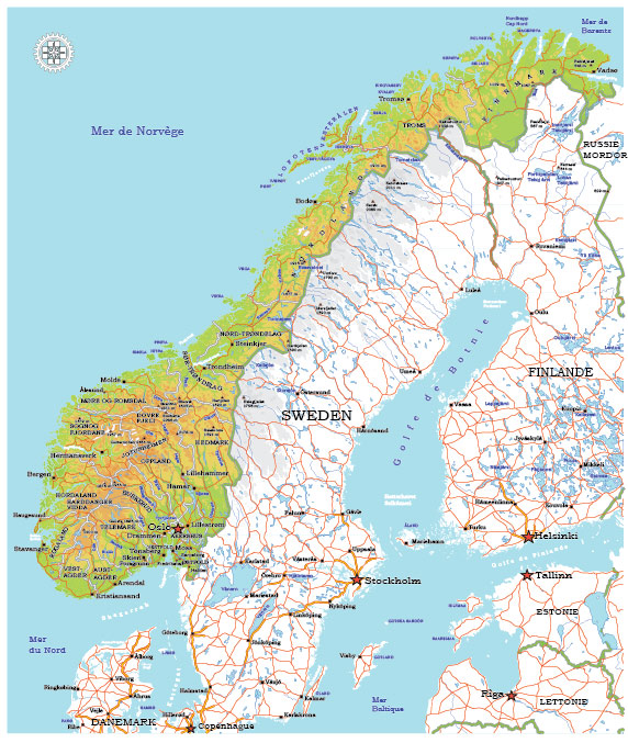
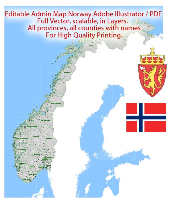
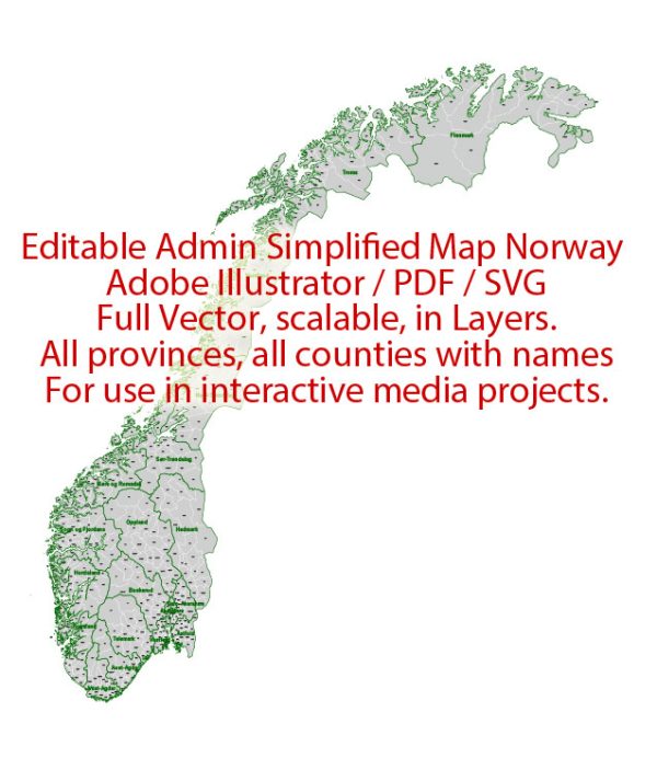
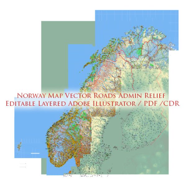
Norway is a country in Northern Europe known for its stunning natural landscapes, including fjords, mountains, and coastal regions. Here are some of the principal cities, waterways, and main roads in Norway:
Principal Cities:
- Oslo: The capital and largest city of Norway, situated at the head of the Oslofjord. It is the political, economic, and cultural center of the country.
- Bergen: Located on the west coast, Bergen is the second-largest city and a major port. It is surrounded by mountains and fjords and is known for its picturesque waterfront and historic architecture.
- Stavanger: Situated on the southwest coast, Stavanger is an important industrial city, particularly in the oil and gas sector. The nearby Lysefjord is a popular natural attraction.
- Trondheim: Located in central Norway, Trondheim is a historic city with a rich cultural heritage. It was the capital of Norway during the Viking Age.
- Drammen: A port city on the eastern shore of the Oslofjord, Drammen is an important economic center and a gateway to Oslo.
Waterways:
- Norwegian Sea: The Norwegian Sea is part of the North Atlantic Ocean, and it borders the western coast of Norway. It is known for its rich marine life and is influenced by the warm Gulf Stream.
- North Sea: To the southwest of Norway lies the North Sea, an important body of water for shipping, fishing, and oil and gas extraction.
- Oslofjord: A large fjord that stretches inland from the Skagerrak strait, providing access to Oslo. It is a popular recreational area with numerous islands and coastal towns.
- Hardangerfjord: One of the longest and deepest fjords in Norway, located in the Hordaland region. It is surrounded by steep mountains and is known for its scenic beauty.
- Sognefjord: The longest and deepest fjord in Norway, situated in the Sogn og Fjordane region. It is a popular tourist destination with spectacular landscapes.
Main Roads:
- E6: The main north-south highway in Norway, stretching from the Swedish border in the south to the Arctic Circle in the north. It passes through major cities like Oslo and Trondheim.
- E18: Running along the southern coast, E18 connects cities such as Oslo, Kristiansand, and Stavanger. It is an important route for both domestic and international traffic.
- E16: Connecting Oslo to Bergen, E16 traverses the mountainous terrain of central Norway, offering breathtaking views.
- E39: Stretching along the west coast, E39 connects Kristiansand in the south to Trondheim in the north, passing through cities like Stavanger and Bergen.
These principal cities, waterways, and main roads contribute to Norway’s infrastructure and showcase its diverse and beautiful geography.


 Author: Kirill Shrayber, Ph.D.