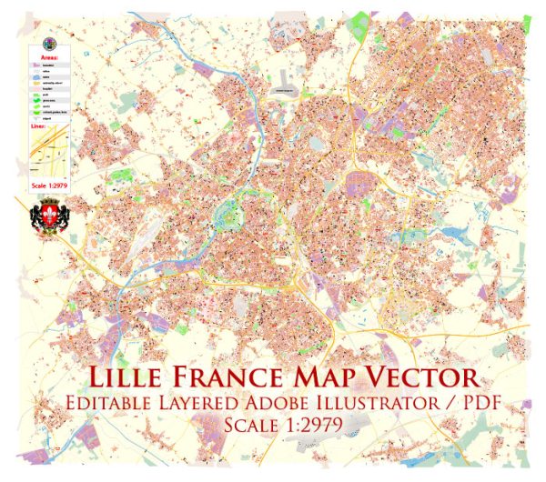
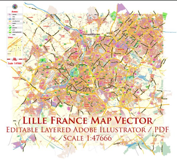
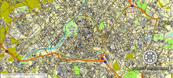
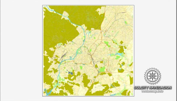
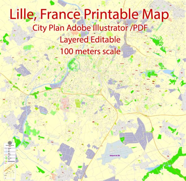
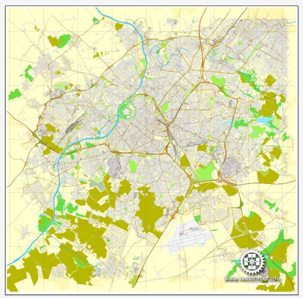
A general overview of the principal waterways, bridges, and main streets in Lille, France. We provide you with the most accurate and up-to-date vector maps in Adobe Illustrator, PDF and other formats, designed for editing and printing. Please read the vector map descriptions carefully.
Waterways:
- Deûle River: Lille is situated on the banks of the Deûle River, which has played a significant role in the city’s history and development. The river passes through the city, contributing to its scenic beauty.
Bridges:
- Pont de la Citadelle: This bridge spans the Deûle River and connects the historic Citadelle district with other parts of the city.
- Pont Neuf: As the name suggests, this is the “New Bridge” and is one of the iconic bridges in Lille. It crosses the Deûle River and is known for its architecture.
Main Streets and Areas:
- Grand Place: The central square in Lille, surrounded by colorful Flemish-style buildings, cafes, and shops. It’s a vibrant hub for social and cultural activities.
- Rue de la Monnaie: A popular shopping street in the heart of Lille, known for its boutiques, restaurants, and cafes.
- Rue Esquermoise: Another prominent shopping street, lined with shops, boutiques, and eateries.
- Vieux Lille (Old Lille): This area is characterized by narrow cobblestone streets, historic architecture, and upscale shops. It’s a charming part of the city with a mix of boutiques and antique stores.
Notable Places:
- Lille Citadel (Citadelle de Lille): Located near the Deûle River, the citadel is a historic fortress with a surrounding park, providing a green space for locals and visitors.
- Palais des Beaux-Arts de Lille: One of the largest museums in France, housing an extensive collection of fine arts, antiquities, and more.
Keep in mind that urban landscapes can change, and new developments may have occurred since my last update. For the most current and detailed information, it’s advisable to consult a local map or recent city guides.

 Author: Kirill Shrayber, Ph.D. FRGS