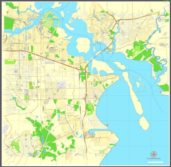
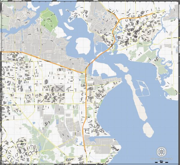
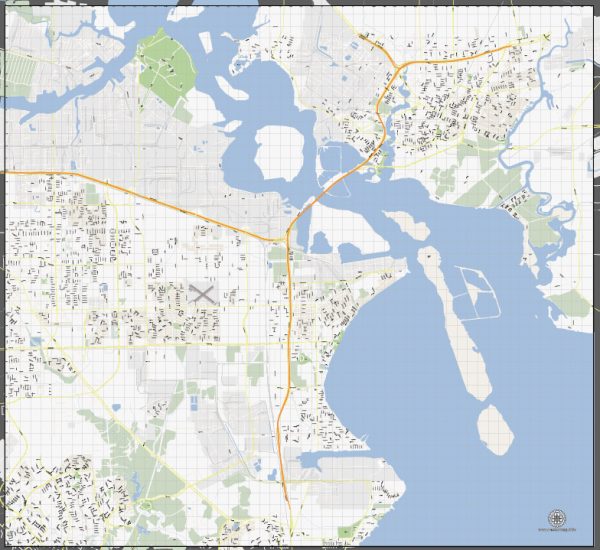
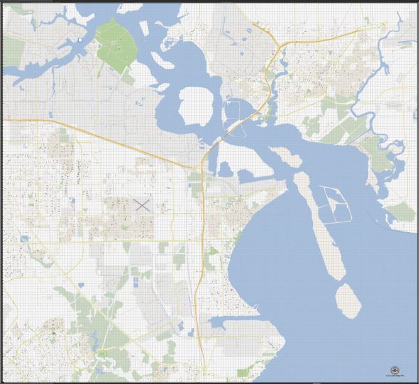
La Porte and Baytown are neighboring cities in the Houston metropolitan area in Texas, USA. Both cities are located along the Gulf Coast and have significant industrial and economic activities, particularly in the petrochemical industry. Here’s a brief description of the principal waterways, bridges, and main roads in La Porte and Baytown:
La Porte:
Waterways:
- Buffalo Bayou: Buffalo Bayou flows through the northern part of La Porte and is a significant waterway for transportation and industrial purposes.
Bridges:
- Fred Hartman Bridge: While not directly in La Porte, the Fred Hartman Bridge is a notable nearby bridge that connects La Porte to Baytown. It spans the Houston Ship Channel and is a major transportation route.
Main Roads:
- Highway 146: This highway runs north-south through La Porte, connecting it to neighboring cities and providing access to the Fred Hartman Bridge.
Baytown:
Waterways:
- Houston Ship Channel: The Houston Ship Channel is a major waterway that runs through Baytown, facilitating the transportation of goods and serving the numerous industrial facilities along its banks.
Bridges:
- Fred Hartman Bridge: As mentioned earlier, the Fred Hartman Bridge connects Baytown to La Porte and spans the Houston Ship Channel.
Main Roads:
- Interstate 10 (I-10): I-10 is a major east-west interstate that passes through Baytown, providing a crucial transportation route for both local and long-distance travel.
- State Highway 146: Similar to La Porte, Highway 146 is a significant road in Baytown, connecting the city to other parts of the region and facilitating transportation and commerce.
These waterways, bridges, and main roads are vital components of the transportation infrastructure in the La Porte and Baytown areas, supporting the economic activities and industrial development in the region. Keep in mind that infrastructure may evolve, so it’s advisable to check for the latest updates and changes in the area’s transportation network.
We provide you with the most accurate and up-to-date vector maps in Adobe Illustrator, PDF and other formats, designed for editing and printing. Please read the vector map descriptions carefully.


 Author: Kirill Shrayber, Ph.D. FRGS