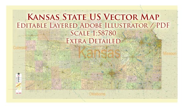
Kansas is a state located in the central part of the United States. It is known for its vast plains and agricultural landscapes. The state is divided into several regions, with the main cities and roads distributed throughout. Here are some of the main cities and roads in Kansas:
Main Cities:
- Topeka:
- Topeka is the capital city of Kansas.
- It is located in the northeastern part of the state.
- Topeka is known for its cultural attractions, including museums and historic sites.
- Wichita:
- Wichita is the largest city in Kansas, located in the south-central part of the state.
- It is an economic and cultural hub, known for its aviation industry and museums.
- Kansas City (partly in Kansas):
- Kansas City is a major metropolitan area that straddles the border of Kansas and Missouri.
- The Kansas portion is often referred to as “Kansas City, Kansas.”
- Olathe:
- Olathe is a city in the Kansas City metropolitan area, situated in the eastern part of the state.
- It is known for its suburban character and has experienced significant growth.
- Lawrence:
- Lawrence is a college town and home to the University of Kansas.
- It is situated in the eastern part of the state and is known for its vibrant arts and cultural scene.
Main Roads:
- Interstate 70 (I-70):
- I-70 is a major east-west interstate highway that passes through the central part of Kansas.
- It connects cities such as Topeka and Salina.
- Interstate 35 (I-35):
- I-35 runs north-south, connecting the Kansas City metropolitan area to cities like Wichita and Emporia.
- Kansas Turnpike:
- The Kansas Turnpike, also known as I-70/I-35, is a toll highway that spans from the eastern border with Missouri to the western border with Colorado.
- U.S. Route 54 (US-54):
- US-54 is an east-west highway that runs across the southern part of the state, connecting cities like Wichita and Liberal.
- U.S. Route 81 (US-81):
- US-81 is a north-south highway that passes through central Kansas, connecting cities like Salina and Concordia.
- U.S. Route 69 (US-69):
- US-69 runs north-south through eastern Kansas, connecting cities like Kansas City and Fort Scott.
These are just a few examples, and there are many other state highways and local roads that connect various cities and towns throughout Kansas. The road network plays a crucial role in facilitating transportation and commerce in the state. We provide you with the most accurate and up-to-date vector maps in Adobe Illustrator, PDF and other formats, designed for editing and printing. Please read the vector map descriptions carefully.


 Author: Kirill Shrayber, Ph.D. FRGS