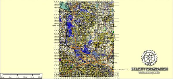
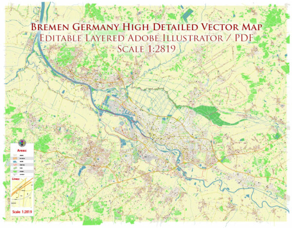
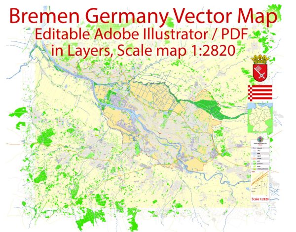
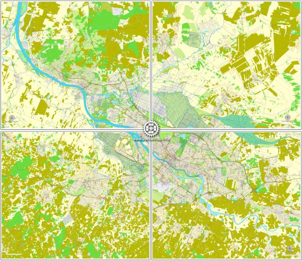
Bremen, a city in northwestern Germany, has a well-planned road network that facilitates easy navigation. A general description of some principal streets and roads in Bremen.
- Bremer Stadtmusikanten:
- This is a prominent street in the city center, named after the famous fairytale “Town Musicians of Bremen.” It’s known for its shops, cafes, and a lively atmosphere.
- Schlachte:
- Located along the Weser River, Schlachte is a popular promenade with restaurants, bars, and picturesque views. It’s not only a street but also a waterfront area.
- Ostertorsteinweg:
- Running through the Ostertor district, this street is recognized for its vibrant nightlife, eclectic shops, and cultural diversity.
- Sögestraße:
- Sögestraße is a historic street in the heart of Bremen, featuring a mix of traditional and modern shops. It connects the market square to the main train station.
- Martinistraße:
- This street is near Bremen’s university and is lined with academic buildings, student facilities, and green spaces.
- Am Wall:
- Am Wall is a street that surrounds the city center and is known for its green spaces and park-like setting.
- Hollerallee:
- Running parallel to the Osterdeich, Hollerallee is a tree-lined avenue featuring parks, gardens, and cultural institutions.
- Bürgermeister-Smidt-Straße:
- This street is located in the Überseestadt district and is known for its mix of modern architecture, business establishments, and cultural venues.
- Hans-Böckler-Straße:
- Situated in the Neustadt district, this street has a mix of residential and commercial properties, including shops and restaurants.
- Weserstraße:
- Running along the banks of the Weser River, Weserstraße offers scenic views and is often frequented by pedestrians and cyclists.
It’s advisable to use navigation tools or maps for real-time information on traffic conditions, road closures, and the most accurate directions. Local authorities or online mapping services can provide the latest updates on the streets and roads in Bremen.


 Author: Kirill Shrayber, Ph.D. FRGS