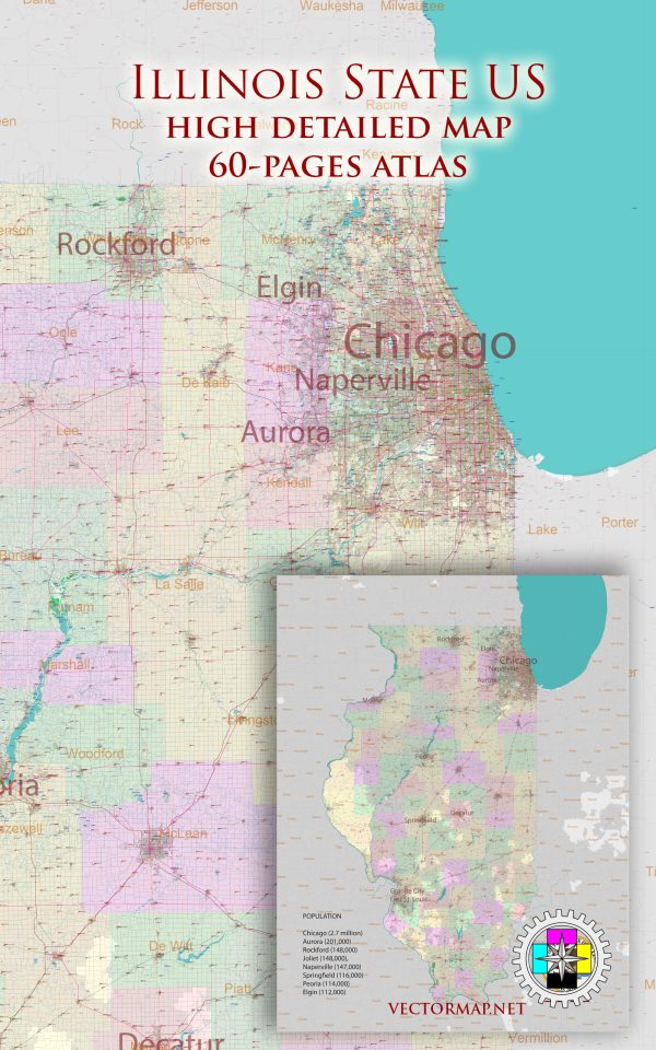
List of ready-made Vector Maps of the state of Illinois US |
|
| Bridgeview Illinois Chicago = 2 maps Chicago, Illinois = 22 maps Illinois Full State detailed map = 2 maps |
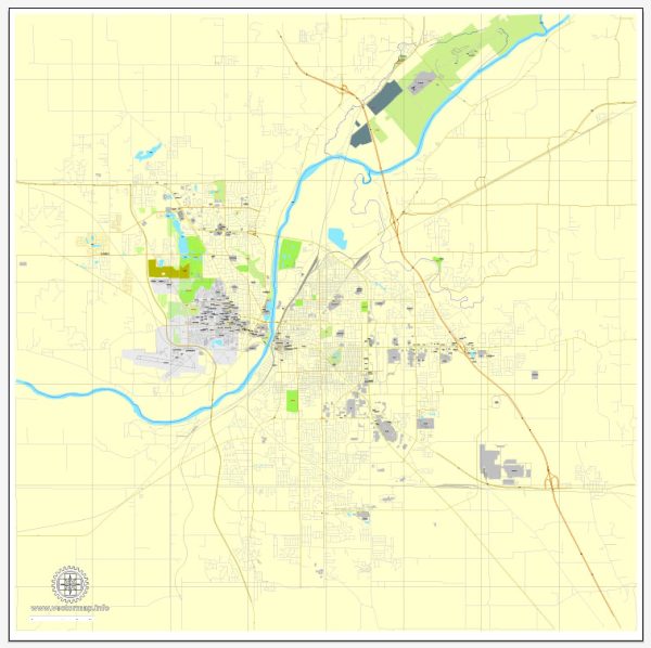
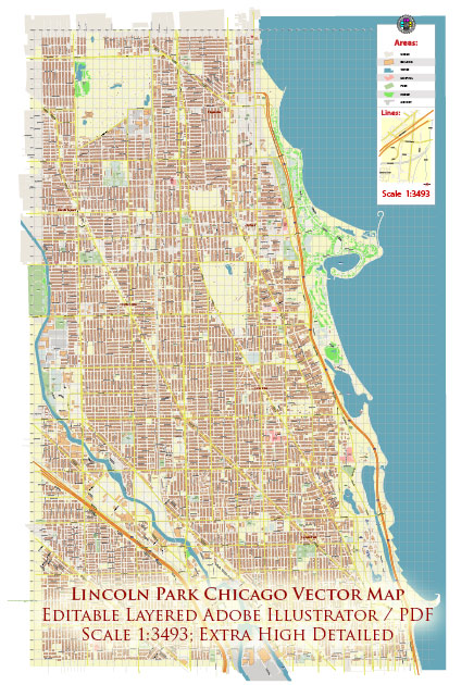
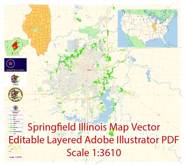
Lincoln Park, Chicago IL = 2 maps Moline, Illinois = 2 maps Springfield, Illinois = 2 maps |
Vector Maps of the Illinois : Midwestern state bordering Indiana in the east and the Mississippi River in the west. Nicknamed “the Prairie State,” it’s marked by farmland, forests, rolling hills and wetlands. Chicago, one of the largest cities in the U.S, is in the northeast on the shores of Lake Michigan. It’s famous for its skyscrapers, such as sleek, 1,451-ft. Willis Tower and the neo-Gothic Tribune Tower.
Capital: Springfield
Largest city: Chicago
Largest metro and urban areas: Chicago
Area
• Total 57,915 sq mi (149,997 km2)
• Land 55,593 sq mi (143,969 km2)
• Water 2,320 sq mi (5,981 km2) 3.99%
Area rank 25th
Dimensions
• Length 390 mi (628 km)
• Width 210 mi (338 km)
Elevation 600 ft (180 m)
Highest elevation Charles Mound 1,235 ft (376.4 m)
Lowest elevation Confluence of Mississippi River and Ohio River 280 ft (85 m)
Population
• Total 12,865,436
• Rank 6th
• Density 232/sq mi (89.4/km2)
Instant download archives: royalty free, editable vector maps of Illinois US in high resolution digital PDF and Adobe Illustrator format.
All of our editable Illinois US vector maps are digital files,
which can be instantly downloaded in editable PDF or Adobe Illustrator format.
Objects on maps are usually divided into layers according to their types – lines, polygons, street names, object names (see map description!!!!)
Each of our Illinois US digital maps is available in Adobe Illustrator or editable PDF format, (or on request in any other known format for the same price)
which use a vector approach to display images,
you can easily enlarge any part of our maps without compromising text, line or graphic quality,
with any increase or decrease ratio.
Using a vector graphics editor such as Adobe Illustrator, CorelDraw, Inkscape, or Freehand
you can easily crop parts of the map, add custom characters, and change colors and font attributes as needed.
We have a variety of Illinois US vector maps with different levels of detail, from simple empty paths to highly detailed maps with roads and terrain layers.
Don’t see exactly what you’re looking for? Contact us to receive a special offer for an individual Illinois US map for your project.

 Author: Kirill Shrayber, Ph.D. FRGS