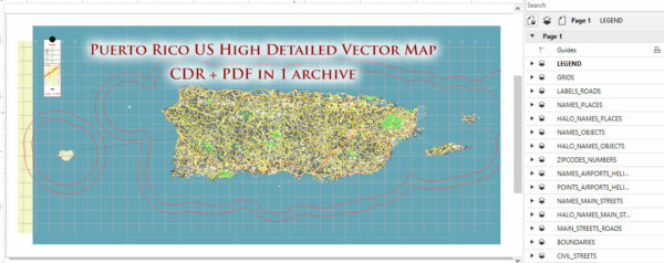
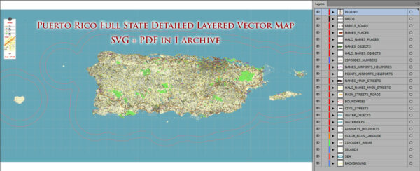
General overview of Puerto Rico’s maritime and air transportation systems.
Maritime Transportation:
- Ports:
- Puerto Rico has several major ports, including the Port of San Juan, which is one of the busiest ports in the Caribbean.
- Other significant ports include Ponce, Guayanilla, and Mayagüez.
- Shipping Services:
- The island is a crucial hub for shipping in the Caribbean, serving as a major transshipment point for goods traveling between North America, Central America, and South America.
- Various shipping companies provide container and cargo services to and from Puerto Rico.
- Cruise Industry:
- Puerto Rico is a popular destination for cruise ships, with San Juan being a key port of call for many Caribbean cruises.
- Cruise terminals in San Juan and other cities facilitate the arrival and departure of cruise passengers.
Air Transportation:
- Airports:
- Puerto Rico has several airports, with the Luis Muñoz Marín International Airport (SJU) in San Juan being the main gateway. It is one of the busiest airports in the Caribbean.
- Other major airports include Rafael Hernández Airport (BQN) in Aguadilla and Mercedita International Airport (PSE) in Ponce.
- Airlines:
- Major international and domestic airlines operate flights to and from Puerto Rico, connecting it to the United States, Europe, and other parts of the Caribbean.
- Local carriers provide inter-island flights within Puerto Rico.
- Air Traffic Control:
- The air traffic in Puerto Rico is managed by the Puerto Rico Air Traffic Advisory Board (PRATAB) and the Federal Aviation Administration (FAA) in the United States.
- General Aviation:
- In addition to commercial aviation, there is a presence of general aviation, with smaller airports and airstrips catering to private and smaller aircraft.
- Infrastructure:
- The island has invested in airport infrastructure to accommodate the increasing number of passengers and cargo traffic.
- Improvements in airport facilities and services contribute to the efficiency of air transportation.
Please note that changes in transportation infrastructure, regulations, and services may have occurred since my last update. For the latest and most accurate information, it’s recommended to check with official transportation authorities or sources.


 Author: Kirill Shrayber, Ph.D. FRGS