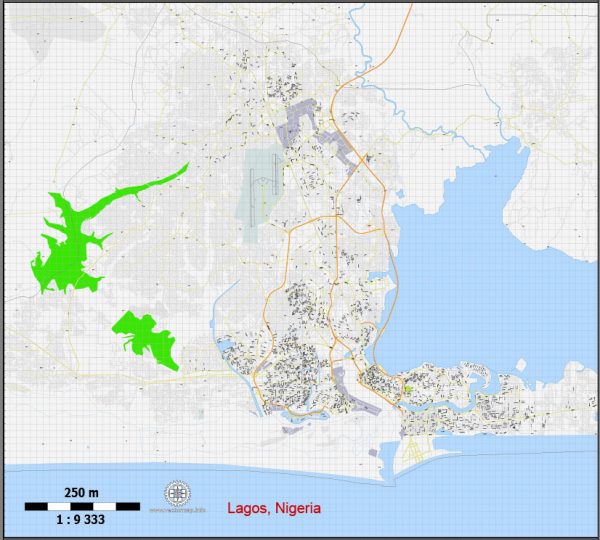
General overview of Lagos, Nigeria’s maritime and air transportation systems.
Maritime Transportation:
1. Ports:
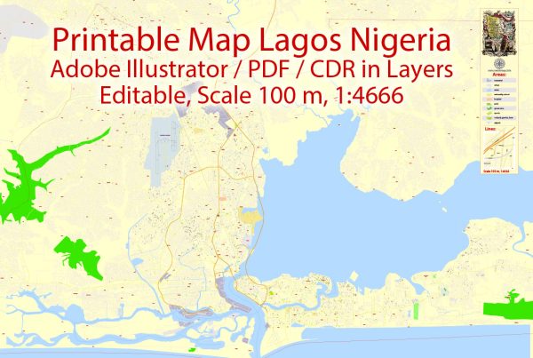
- Lagos is home to several major ports, with the largest being the Apapa Port Complex and the Tin Can Island Port. These ports are crucial for the import and export of goods, serving as key gateways for maritime trade in Nigeria.
2. Shipping:
- The Lagos ports play a vital role in facilitating shipping activities, connecting Nigeria to various international markets. Shipping companies operate in and around the ports, handling cargo and container traffic.
3. Inland Waterways:
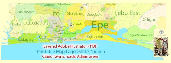
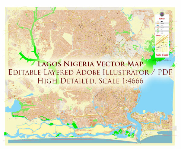
- Lagos has an extensive network of inland waterways, including lagoons and rivers. These waterways are used for transportation of goods and people within the city and its environs.
4. Maritime Infrastructure:
- The Lagos maritime infrastructure includes terminals, berths, and facilities for handling various types of cargo. The government and private entities invest in improving and expanding these facilities to enhance efficiency.
Air Transportation:
1. Airports:
- Murtala Muhammed International Airport (LOS) is the primary international gateway serving Lagos. It handles a significant volume of both domestic and international flights.
2. Domestic Airports:
- Besides Murtala Muhammed International Airport, Lagos is served by domestic airports like the Murtala Muhammed Domestic Airport (MMA2) and the Nnamdi Azikiwe International Airport in Abuja, among others.
3. Airlines:
- Numerous domestic and international airlines operate flights to and from Lagos. These airlines cover a wide range of destinations, making Lagos a key hub in West Africa.
4. Aviation Infrastructure:
- Lagos has invested in upgrading and expanding its aviation infrastructure to accommodate the growing demand for air travel. This includes modern terminals, runways, and air traffic control systems.
Challenges and Developments:
1. Traffic Congestion:
- Both the maritime and air transportation sectors in Lagos face challenges such as traffic congestion, which can impact the efficiency of cargo movement and passenger travel.
2. Infrastructure Development:
- Ongoing efforts are being made to improve infrastructure and expand capacity in both maritime and air transportation to meet the growing demands of trade and travel.
Please check for the latest information from reliable sources or local authorities for the most current status of Lagos’ maritime and air transportation systems.

 Author: Kirill Shrayber, Ph.D. FRGS