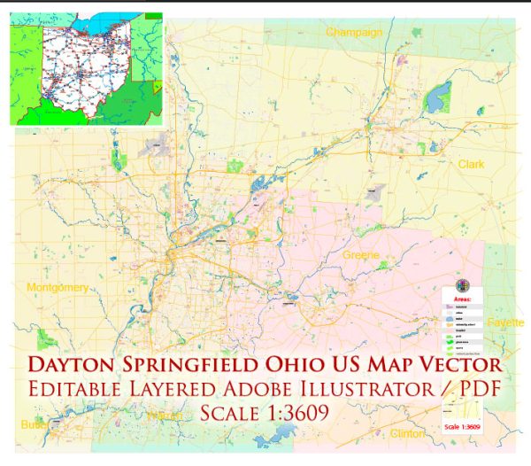
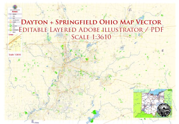
General overview of Dayton and Springfield, Ohio.
Dayton, Ohio:
- Culture and Arts:
- The Dayton Art Institute: A museum featuring a diverse collection of artworks.
- Victoria Theatre: A historic theater hosting various performances.
- Outdoor Activities:
- Five Rivers MetroParks: Offers numerous outdoor recreational activities, including hiking, biking, and kayaking.
- Carillon Historical Park: Showcases the history of transportation and innovation.
- Education:
- University of Dayton: A private Catholic university known for its strong engineering and business programs.
- Wright State University: A public research university with a focus on science, technology, engineering, mathematics (STEM), and health.
- Economy:
- Historically known for its contributions to aerospace and aviation industries.
- A hub for technology and research, with the presence of Wright-Patterson Air Force Base.
- Sports:
- Dayton Dragons: A minor league baseball team.
- University of Dayton Flyers: Known for their successful basketball program.
Springfield, Ohio:
- Heritage and History:
- Westcott House: A Frank Lloyd Wright-designed Prairie Style house.
- Heritage Center of Clark County: Showcasing the history of the region.
- Recreation:
- Buck Creek State Park: Offers a variety of outdoor activities, including boating and camping.
- Snyder Park: Features walking trails and a lake.
- Economy:
- Historically known for manufacturing and industry.
- The city has seen efforts to revitalize its downtown area.
- Education:
- Wittenberg University: A private liberal arts college.
- Events:
- Summer Arts Festival: A cultural event featuring performances and art displays.
Both Dayton and Springfield offer a range of amenities typical of Midwestern cities, including parks, museums, and educational institutions. However, keep in mind that specific amenities and developments can change, and it’s advisable to check local sources for the most up-to-date information.


 Author: Kirill Shrayber, Ph.D. FRGS