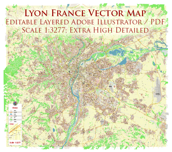
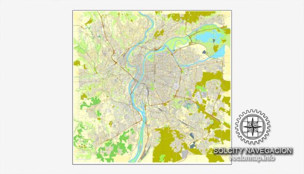
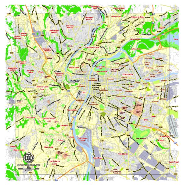
The city of Lyon, located in east-central France, has a rich history of urban development that spans over two millennia. Here is a brief overview of Lyon’s historical urban development:
- Roman Era (43 BCE – 476 CE): Lyon, originally known as Lugdunum, was founded by the Romans in 43 BCE. It quickly became a major Roman city and was the capital of the Roman province of Gallia Lugdunensis. The city was strategically located at the confluence of the Rhône and Saône rivers, making it an important economic and political center.
- Medieval Period (476 CE – 15th century): After the fall of the Roman Empire, Lyon went through a period of decline and instability. However, during the Middle Ages, it regained its importance as a trading center. The city became known for its silk industry and developed a reputation as a key trading hub.
- Renaissance (15th – 17th century): Lyon experienced a period of significant growth and prosperity during the Renaissance. The silk industry flourished, and the city became a major center for banking and commerce. The Old Lyon (Vieux Lyon) district, with its narrow streets and traboules (hidden passageways), dates back to this period and is a UNESCO World Heritage site.
- 18th Century: Lyon continued to prosper during the 18th century, with the expansion of trade and industry. The cityscape began to evolve, and grand squares and boulevards were constructed. The Presqu’île, a narrow peninsula between the Rhône and Saône rivers, became a focal point for commercial activities.
- 19th Century: The 19th century brought industrialization to Lyon, transforming it into a major industrial center. The city expanded, and new neighborhoods were developed to accommodate the growing population. The construction of important landmarks, such as the Basilica of Notre-Dame de Fourvière, also took place during this period.
- 20th Century: Lyon faced challenges during World War II, including occupation by Nazi forces. After the war, the city experienced significant urban renewal and modernization. The development of infrastructure, including the Lyon Métro, contributed to Lyon’s modern identity.
- Contemporary Period: In recent decades, Lyon has focused on sustainable development and urban planning. The city has undergone revitalization projects, enhancing public spaces and promoting cultural initiatives. Lyon is renowned for its culinary scene, historical landmarks, and vibrant cultural events.
Throughout its history, Lyon’s urban development has been shaped by its strategic location, economic activities, and cultural influences, resulting in a city that seamlessly blends its rich heritage with modern amenities.


 Author: Kirill Shrayber, Ph.D. FRGS