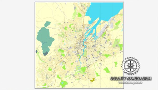
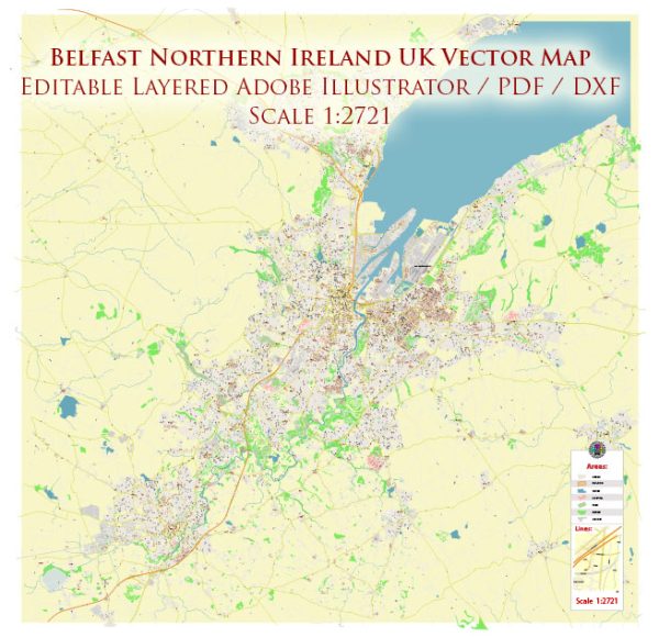
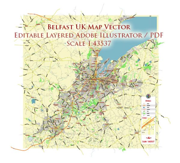
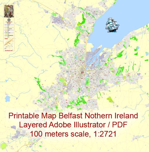
Belfast is the capital and largest city of Northern Ireland, which is part of the United Kingdom. Its history of urban development is a complex and multifaceted story that has been shaped by various historical, political, and economic factors. Here’s a brief overview of Belfast’s history of urban development:
- Early Settlement and Growth:
- Belfast’s origins date back to the early 17th century when it was a small village at the mouth of the River Lagan. It grew as a trading post and later as a linen manufacturing center, thanks to its favorable location for shipping and trade.
- Industrial Revolution:
- The 19th century brought rapid industrialization to Belfast. The city’s shipbuilding industry, notably the Harland and Wolff shipyard (famous for building the RMS Titanic), and linen production became major economic drivers.
- Infrastructure and Expansion:
- To accommodate the growing industries and population, Belfast saw significant expansion in the 19th century. This period witnessed the development of new streets, buildings, and infrastructure.
- Political and Social Unrest:
- Belfast’s history is marked by political and social tensions, particularly during the 20th century. Sectarian violence and conflict between the Protestant Unionist and Catholic Nationalist communities have had a profound impact on urban development and planning in the city.
- The Troubles:
- The Troubles, a period of intense political and sectarian conflict from the late 1960s to the late 1990s, had a detrimental impact on Belfast’s urban development. Security measures, barricades, and divided communities altered the city’s landscape.
- Peace Process:
- The Good Friday Agreement in 1998 marked the beginning of a more peaceful era in Northern Ireland. This has allowed for some degree of urban redevelopment, with the removal of security structures and efforts to promote reconciliation.
- Modern Urban Development:
- Belfast has seen significant redevelopment in the 21st century. The city’s waterfront, in particular, has undergone substantial transformation, with the construction of modern buildings, restaurants, and entertainment facilities.
- Tourism and Culture:
- Tourism has become an important industry, with Belfast promoting its cultural heritage, including the Titanic Belfast museum and various historical sites. The city has also hosted cultural events, which have contributed to its urban development and vibrancy.
- Housing and Regeneration:
- Efforts have been made to address housing issues and regenerate neighborhoods, particularly in the areas affected by the Troubles. Various housing projects and community initiatives aim to improve the quality of life for Belfast residents.
Belfast’s urban development history reflects its transformation from a small village to an industrial powerhouse, followed by challenges posed by political and sectarian conflict, and more recent efforts to rejuvenate and modernize the city. The city’s evolution continues as it seeks to move beyond its tumultuous past and embrace a more prosperous and peaceful future.


 Author: Kirill Shrayber, Ph.D. FRGS