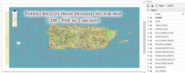
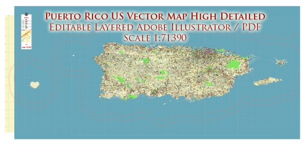
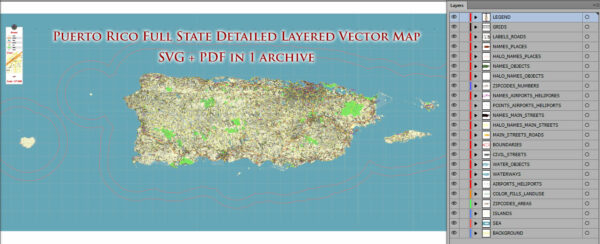
Puerto Rico is not a state; it is an unincorporated territory of the United States. However, Puerto Rico does have several national parks and protected areas that showcase the natural beauty and cultural heritage of the island. Here are some of the national parks and their brief descriptions in Puerto Rico:
- El Yunque National Forest: Located in the eastern part of the island, El Yunque is the only tropical rainforest in the United States National Forest System. It features lush vegetation, waterfalls, hiking trails, and a diverse range of flora and fauna. Visitors can explore the forest’s many trails, swim in pristine streams, and enjoy the stunning natural beauty.
- San Juan National Historic Site: This historic site is centered in the heart of Old San Juan and includes several forts and defensive structures dating back to the 16th century, such as El Morro and San Cristóbal. Visitors can explore the well-preserved forts, walk along the historic walls, and learn about Puerto Rico’s colonial history.
- Casa Grande Ruins National Monument: Located in the municipality of Utuado, this national monument preserves the remains of a Taíno Indian ceremonial site, including the ruins of a large ceremonial ball court. It offers insights into the indigenous heritage of Puerto Rico.
- Reserva Natural de Humacao: This natural reserve is located in the eastern part of the island and is home to various ecosystems, including wetlands, forests, and coastal areas. It provides excellent opportunities for birdwatching, hiking, and enjoying the natural beauty of the region.
- Guánica State Forest: While not a national park, Guánica State Forest is a protected area on the southwestern coast of Puerto Rico. It features a unique dry forest ecosystem, which is rare in the Caribbean. Visitors can explore hiking trails, caves, and diverse plant and animal species.
These parks and natural areas offer a wide range of outdoor activities and opportunities to learn about the natural and cultural heritage of Puerto Rico. Keep in mind that Puerto Rico’s status as a U.S. territory means that the management of these areas may differ from national parks in the mainland United States.


 Author: Kirill Shrayber, Ph.D. FRGS