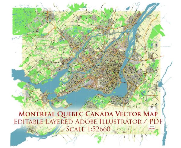
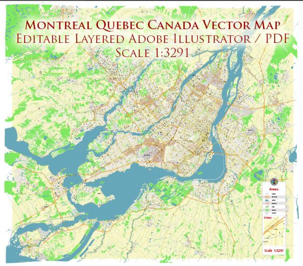
Montreal, Canada, is home to several beautiful nature parks and green spaces, offering residents and visitors a chance to connect with nature and enjoy outdoor activities. Here are some of the prominent nature parks in and around Montreal:
- Mount Royal Park (Parc du Mont-Royal):
- Located in the heart of Montreal, Mount Royal Park is an iconic natural gem. It features a mix of forested areas, walking trails, and a prominent lookout point offering stunning panoramic views of the city.
- Visitors can hike, bike, or simply enjoy a leisurely walk through the park’s lush landscapes.
- In the winter, the park offers opportunities for cross-country skiing and snowshoeing.
- La Fontaine Park (Parc La Fontaine):
- This urban park is situated in the Plateau-Mont-Royal borough and offers a serene escape from the city’s hustle and bustle.
- It features a large pond, walking paths, green spaces, and a variety of wildlife. The park is a popular spot for picnics, leisurely strolls, and outdoor yoga classes.
- Lachine Canal National Historic Site (Canal de Lachine):
- Located to the southwest of Montreal, the Lachine Canal is a historic site that combines nature and heritage.
- The canal offers walking and cycling paths along its banks, and you can enjoy the picturesque views of the waterway and old industrial buildings.
- There are also picnic areas and places to rent kayaks and pedal boats.
- Cap-Saint-Jacques Nature Park (Parc-nature du Cap-Saint-Jacques):
- Situated in the western part of Montreal, Cap-Saint-Jacques Nature Park is the city’s largest park.
- It features forests, wetlands, beaches, and an organic farm. Visitors can enjoy activities such as hiking, birdwatching, and swimming.
- In the winter, the park offers cross-country skiing, snowshoeing, and even sugar shack experiences.
- Angrignon Park (Parc Angrignon):
- Located in the southwestern part of Montreal, Angrignon Park is known for its large pond, walking trails, and diverse plant life.
- The park is a great place for picnics, family outings, and relaxation amidst green surroundings.
- Bois-de-Liesse Nature Park (Parc-nature du Bois-de-Liesse):
- This nature park is situated in the northwestern part of the city and is known for its natural beauty and tranquility.
- It features meandering trails through forests and meadows, making it an ideal spot for hiking and wildlife observation.
- Morgan Arboretum:
- Located on the western edge of Montreal, the Morgan Arboretum is a beautiful space dedicated to the study and conservation of trees and forests.
- It offers a network of trails through diverse wooded areas and is a favorite destination for birdwatchers and nature enthusiasts.
Montreal’s nature parks provide a wide range of outdoor experiences, from leisurely walks to more adventurous activities, all while allowing residents and visitors to enjoy the natural beauty and green spaces that the city has to offer. Whether you’re interested in hiking, picnicking, birdwatching, or simply escaping the urban environment, these parks provide a welcome respite.

 Author: Kirill Shrayber, Ph.D. FRGS