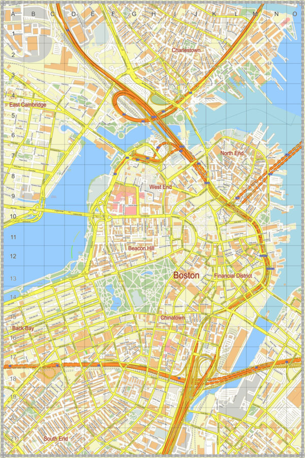
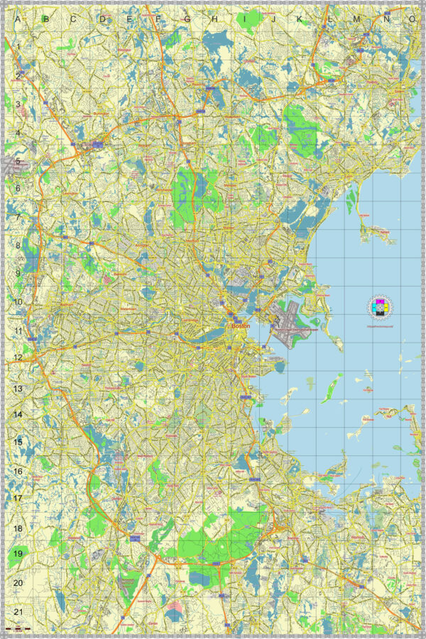
Boston, Massachusetts, is home to several national parks and historical sites that offer a rich blend of natural beauty and American history. Here are some of the prominent national parks and historic sites in and around Boston:
- Boston National Historical Park:
- This park encompasses a collection of historical sites that played a significant role in the American Revolutionary War. Some key locations include:
- Freedom Trail: A 2.5-mile-long red brick trail that connects 16 historically significant sites, such as the Massachusetts State House, Paul Revere’s House, and Old North Church.
- Bunker Hill Monument: Commemorating the Battle of Bunker Hill, this 221-foot granite obelisk offers panoramic views of Boston.
- USS Constitution Museum: Located on the grounds of the Charlestown Navy Yard, this museum is dedicated to the history of the USS Constitution, the oldest commissioned warship afloat in the world.
- Dorchester Heights: A key defensive position during the Siege of Boston, where visitors can learn about its strategic importance.
- This park encompasses a collection of historical sites that played a significant role in the American Revolutionary War. Some key locations include:
- Boston African American National Historic Site:
- This site preserves the heritage of Boston’s 19th-century African American community and its contributions to the nation’s history. It includes the African Meeting House, which is one of the oldest African American churches in the United States, and the Abiel Smith School, which was one of the first public schools for African American children.
- Longfellow House-Washington’s Headquarters National Historic Site:
- This site was once the home of famous poet Henry Wadsworth Longfellow and later served as General George Washington’s headquarters during the Siege of Boston. The house and surrounding gardens are open to the public.
- Minute Man National Historical Park:
- Located just outside Boston, this park commemorates the opening battle of the American Revolutionary War. Visitors can explore various historical sites, including the North Bridge, where “the shot heard ’round the world” was fired, and the Battle Road Trail.
- Saugus Iron Works National Historic Site:
- Located to the northeast of Boston, this site is a reconstructed 17th-century ironworks. Visitors can learn about early American industry and see demonstrations of iron production.
- John F. Kennedy National Historic Site:
- Located in Brookline, a suburb of Boston, this site preserves the birthplace and childhood home of President John F. Kennedy. It offers insight into the life and upbringing of one of America’s most iconic leaders.
These national parks and historic sites in and around Boston offer visitors the opportunity to explore the rich history of the city and its role in shaping the United States. Whether you’re interested in American Revolution history, the literary world, or the legacy of famous individuals, there’s something for everyone to discover in the Boston area.


 Author: Kirill Shrayber, Ph.D. FRGS