Vector Maps of the Dublin : capital of the Republic of Ireland, is on Ireland’s east coast at the mouth of the River Liffey. Its historic buildings include Dublin Castle, dating to the 13th century, and imposing St Patrick’s Cathedral, founded in 1191. City parks include landscaped St Stephen’s Green and huge Phoenix Park, containing Dublin Zoo. The National Museum of Ireland explores Irish heritage and culture.
Area: 117.8 km²
Elevation: 20 m
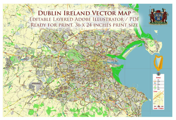
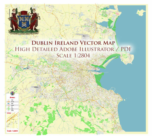
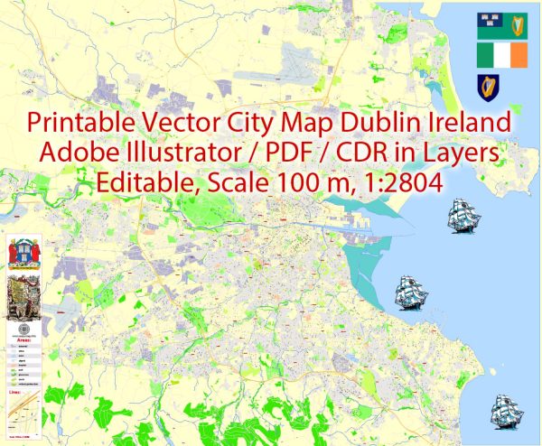
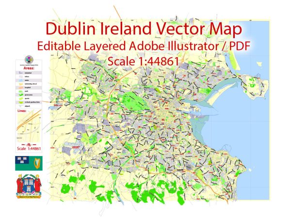
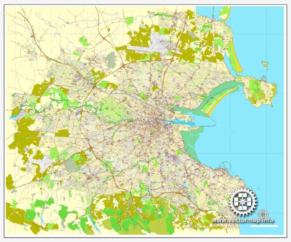
Download royalty free, editable vector maps of Dublin Ireland in high resolution digital PDF and Adobe Illustrator format.
Map — Dublin Ireland City Vector Map
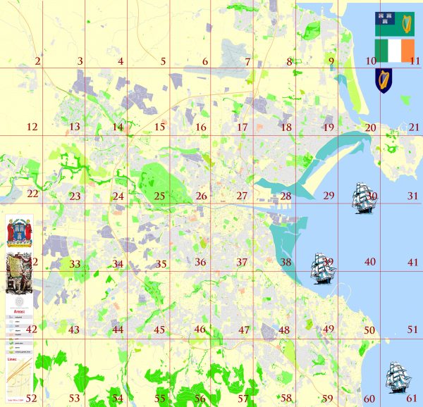
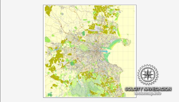
An accurate map of Dublin Ireland City Vector Map that keeps hierarchy under control when scaling from A3 to A0. Named layers let you restyle colors, line weights and label classes without cleanup passes. District and neighborhood labels are arranged to avoid collisions around dense cores. The file accepts custom grids, legends and callouts without redrawing base content. Crisp vectors preserve edges at high DPI and export compactly for web delivery. Bridges, tunnels and ferry lines are isolated so routes remain legible after recolor.
Use it for visitor guides, city infographics, investment decks and municipal communications. Saves prepress time by reducing manual fixes and keeping the visual system consistent. Export presets help maintain crisp strokes on both coated and uncoated paper. Reliable as a base layer; easy to adapt when projects or sponsors change.

 Author: Kirill Shrayber, Ph.D. FRGS