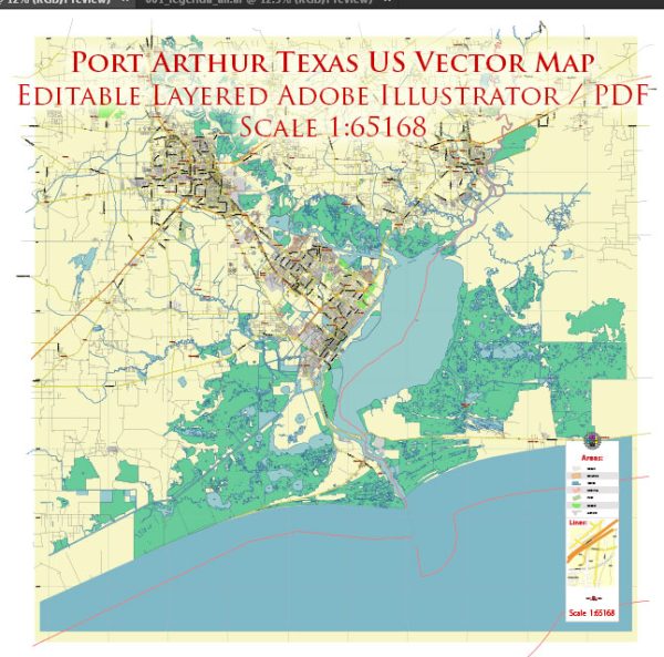
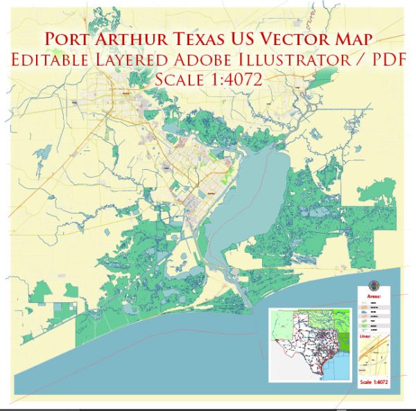
Port Arthur, Texas, is a city located in Jefferson County in the southeastern part of the state. It is situated along the Gulf of Mexico and has access to various water resources, including the Sabine-Neches Waterway, which is an important navigation channel and connects the city to the Gulf of Mexico. This waterway is essential for the transportation of goods, including petroleum and petrochemical products, which are significant industries in the region.
Port Arthur has several bridges and water crossings to facilitate transportation and connect various parts of the city. Some notable bridges and water resources in and around Port Arthur include:
- Veterans Memorial Bridge: This bridge, also known as the Purple Heart Memorial Bridge, crosses the Sabine-Neches Waterway, connecting Port Arthur to the neighboring city of Orange, Texas. It is a vital transportation link in the region.
- Rainbow Bridge: Located a little farther to the north, the Rainbow Bridge is another important bridge that connects Port Arthur to the city of Bridge City, Texas. It is a cantilever truss bridge known for its distinctive rainbow-like arches.
- Sabine Pass: Sabine Pass is a natural waterway where the Sabine River empties into the Gulf of Mexico. It serves as an important point of access for shipping and navigation and provides access to the Sabine Lake, a large saltwater estuary.
- Gulf Intracoastal Waterway: The Gulf Intracoastal Waterway is a significant navigational route for commercial and recreational vessels, providing access to various ports and water bodies along the Gulf Coast. It passes near Port Arthur, offering water transportation options for the city.
These water resources and bridges play a crucial role in the transportation and economic activities of Port Arthur and the surrounding region, particularly in the petrochemical industry. They also provide opportunities for recreational activities, fishing, and tourism in the area. Please note that infrastructure and transportation details can change over time, so it’s a good idea to consult current sources and local authorities for the most up-to-date information.


 Author: Kirill Shrayber, Ph.D. FRGS