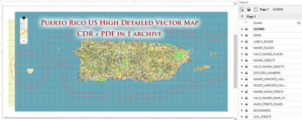
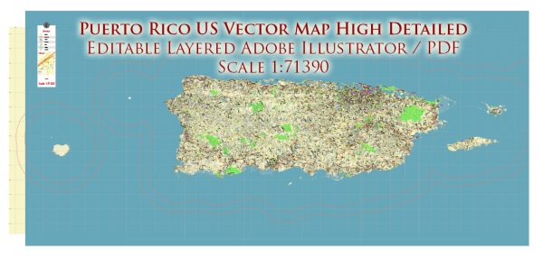
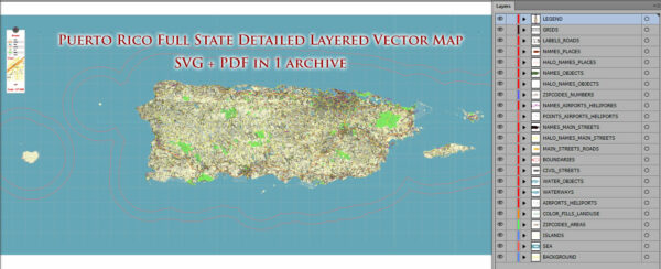
Puerto Rico is not a state; it is a territory of the United States. The official name of the territory is the “Commonwealth of Puerto Rico.” It is located in the northeastern Caribbean and consists of the main island of Puerto Rico and several smaller islands. Puerto Rico is known for its rich natural beauty, with a diverse range of ecosystems and landscapes. Here is a brief description of the natural features of Puerto Rico:
- Beaches: Puerto Rico is renowned for its stunning beaches, featuring white sandy shores and crystal-clear turquoise waters. Some of the most famous beaches include Flamenco Beach on Culebra Island, Playa Crash Boat in Aguadilla, and Luquillo Beach on the east coast.
- Rainforests: El Yunque National Forest, located in the northeastern part of the main island, is the only tropical rainforest in the United States National Forest System. It’s home to lush greenery, waterfalls, hiking trails, and a wide variety of flora and fauna.
- Mountains: The central region of Puerto Rico is characterized by the Cordillera Central mountain range, which includes peaks like Cerro de Punta, the highest point on the island. These mountains offer excellent opportunities for hiking and exploration.
- Caves: Puerto Rico has an extensive network of caves, including the Rio Camuy Cave Park, which is one of the largest cave systems in the world. Caving enthusiasts can explore these underground wonders.
- Coral Reefs: The waters surrounding Puerto Rico are home to vibrant coral reefs teeming with marine life. Snorkeling and scuba diving are popular activities in places like Culebra, Vieques, and La Parguera.
- Wildlife: The island is home to various species of wildlife, including the endangered Puerto Rican parrot, manatees, sea turtles, and a wide array of bird species. The national forest and other protected areas are critical for preserving these species.
- Bioluminescent Bays: Puerto Rico is famous for its bioluminescent bays, where microorganisms in the water emit a natural glow when disturbed. The most well-known bioluminescent bay is Mosquito Bay in Vieques.
- Mangroves: Mangrove forests can be found in various coastal areas, providing critical habitats for fish and other marine life. These ecosystems also serve as natural buffers against storms and erosion.
- Dry Forests: The southwestern part of Puerto Rico is home to Guánica Dry Forest, a UNESCO-designated World Biosphere Reserve. This unique ecosystem features cacti, dry-adapted plants, and diverse wildlife.
- Waterfalls: Puerto Rico has numerous waterfalls, including La Mina Falls and Juan Diego Falls in El Yunque National Forest, as well as the impressive Gozalandia Falls in San Sebastián.
The natural beauty of Puerto Rico makes it a popular destination for eco-tourism, outdoor enthusiasts, and those looking to explore a variety of ecosystems, from beaches to mountains to rainforests. The island’s diverse natural features contribute to its unique and captivating landscape.


 Author: Kirill Shrayber, Ph.D. FRGS