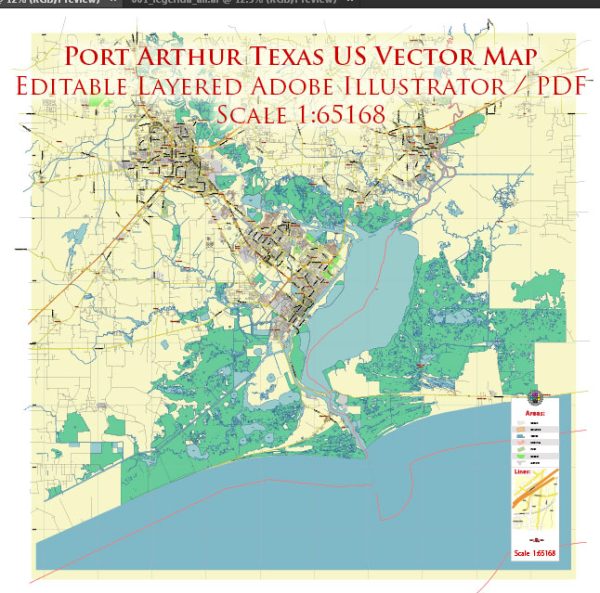
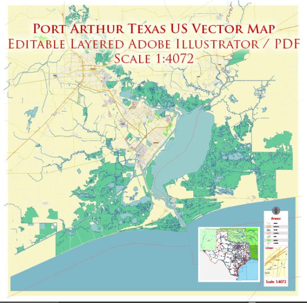
Port Arthur is a city located in Jefferson County, Texas, in the United States. Here’s a brief geographical description of the area:
- Location: Port Arthur is situated in southeastern Texas along the Gulf of Mexico. It is part of the Gulf Coast region and is about 90 miles (145 kilometers) east of Houston, Texas.
- Gulf Coast: The city is located on the Gulf Coast, which means it has access to the Gulf of Mexico. This coastal location has historically made Port Arthur a significant port and industrial center.
- Sabine Lake: To the east of Port Arthur is Sabine Lake, a large saltwater lake, which forms part of the Texas-Louisiana border. The lake is connected to the Gulf of Mexico by Sabine Pass, making it an essential waterway for commerce and recreation.
- Wetlands and Marshes: The area surrounding Port Arthur includes wetlands, marshes, and bayous, which are ecologically important and provide habitat for various wildlife species. It’s part of the larger coastal ecosystem.
- Industrial Facilities: Port Arthur is known for its industrial facilities, including oil refineries, chemical plants, and petrochemical complexes. These industries play a crucial role in the regional economy but also have environmental and public health implications.
- Hurricanes: Port Arthur, like many Gulf Coast cities, is susceptible to hurricanes and tropical storms. It has a history of experiencing severe weather events due to its location along the Gulf.
- Port of Port Arthur: The city is home to the Port of Port Arthur, a major deepwater port that handles a variety of cargoes, including petrochemicals, agricultural products, and general cargo. It serves as an important hub for trade and commerce.
- Neighboring Cities: Port Arthur is in proximity to other cities in the region, including Beaumont to the west and Orange to the east. These cities, along with Port Arthur, make up the “Golden Triangle” of Texas, known for its industrial and economic activity.
Overall, Port Arthur’s geographical features are strongly tied to its industrial and economic significance in the region, as well as its connection to the Gulf of Mexico and Sabine Lake.


 Author: Kirill Shrayber, Ph.D. FRGS