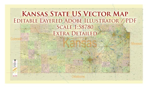
The Kansas State highway system is a network of roads and highways that traverse the state of Kansas in the United States. The system is maintained and managed by the Kansas Department of Transportation (KDOT). Here are some key aspects of the Kansas State highway system:
- Highway Numbering: Kansas highways are numbered using a grid system, with odd-numbered highways typically running north to south, and even-numbered highways running east to west. Primary highways are typically designated with one or two digits (e.g., K-10), while secondary highways may have three digits (e.g., K-254).
- Interstate Highways: Kansas is served by several major interstate highways, including I-70 (east-west), I-35 (north-south), I-135 (connecting I-35 to Wichita), and I-470 (a beltway around Topeka).
- U.S. Highways: U.S. Route highways traverse the state, including US-24, US-36, US-50, and US-54, among others.
- State Highways: The state maintains a vast network of state highways, known as Kansas state highways, which are designated with a “K-” prefix followed by a number (e.g., K-7, K-61).
- County Roads: Many counties in Kansas also have their own road networks and county routes, which are typically numbered within each county’s system.
- Scenic Byways: Kansas features several scenic byways, such as the Flint Hills Scenic Byway and the Gypsum Hills Scenic Byway, which provide picturesque views of the state’s natural beauty.
- Maintenance and Construction: KDOT is responsible for the maintenance, construction, and improvement of the state’s highways and bridges. They work to ensure safe and efficient transportation throughout Kansas.
- Traffic and Safety: The state highway system is also equipped with traffic management systems and safety features to help reduce accidents and keep traffic flowing smoothly.
- Road Conditions: Information on road conditions, construction projects, and traffic incidents can be accessed through KDOT’s official website and various tools like traveler information maps and mobile apps.
Travelers in Kansas can use these highways to explore the state’s diverse landscapes, visit cities, and access important destinations. It’s important to check current road conditions and plan routes before traveling, especially during severe weather or construction events.


 Author: Kirill Shrayber, Ph.D. FRGS