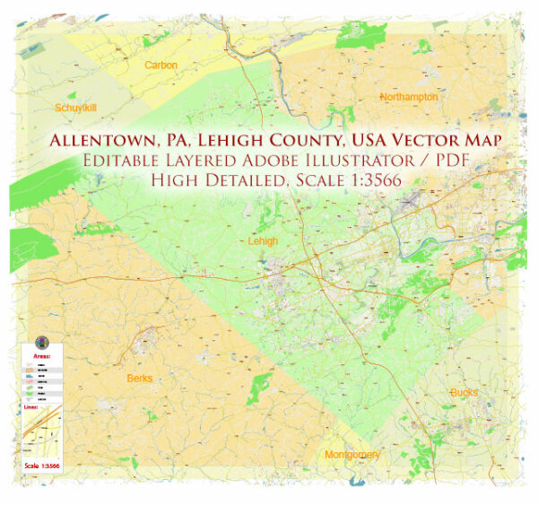
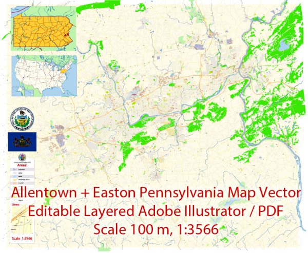
City Plan Allentown Easton Pennsylvania US

Map — Allentown Easton Pennsylvania US

An editable map of Allentown Easton Pennsylvania US designed as a dependable base for print and digital layouts. Typography spacing is tuned for quick reading on posters, brochures and reports. Bridges, tunnels and ferry lines are isolated so routes remain legible after recolor. The file accepts custom grids, legends and callouts without redrawing base content. Coordinates and scales are prepared for sheet production and consistent exports. Layer structure separates arterials and locals, districts, hydrography, parks and landmarks.

Works well as an underlay for wayfinding, transport schemes and editorial layouts. Saves prepress time by reducing manual fixes and keeping the visual system consistent. Legibility holds up on handheld leaflets and large lobby posters alike. Keeps labels readable while allowing deep customization of routes and highlights. Export presets help maintain crisp strokes on both coated and uncoated paper.

Allentown and Easton are two cities located in the state of Pennsylvania, USA.

Allentown: Allentown is a city in Lehigh County, Pennsylvania. It is the largest city in the Lehigh Valley region of Pennsylvania and is known for its rich history and cultural attractions. Some notable landmarks in Allentown include the Allentown Art Museum, America on Wheels Museum, and the Lehigh Valley Heritage Center. The city is also known for its industrial history and proximity to the Dorney Park & Wildwater Kingdom amusement park.

Easton: Easton is a city in Northampton County, Pennsylvania, and it is part of the Lehigh Valley region. Easton is known for its historic downtown area, which features the iconic Easton Farmers’ Market, Crayola Experience (the home of Crayola crayons), and the National Canal Museum. The city is situated along the Delaware River and is known for its scenic views and access to the Delaware and Lehigh Rivers.

Both cities are within relatively close proximity to each other and are part of the larger Lehigh Valley region in eastern Pennsylvania. They offer a mix of historical, cultural, and recreational attractions for residents and visitors alike.

Author: Kirill Shrayber, Ph.D.

I have been working with vector cartography for over 25 years, including GPS, GIS, Adobe Illustrator and other professional cartographic software.
Linkedin: https://www.linkedin.com/in/kirill-shrayber-0b839325/
Twitter: https://twitter.com/vectormapper

Are we missing some maps? Let us know!!!
What map do you need?

    We will upload it within the next 24 hours and notify you by Email.

    Menu