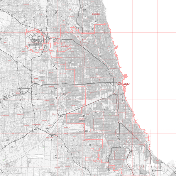
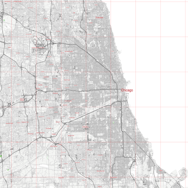
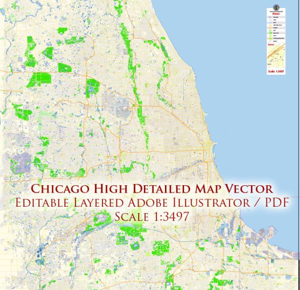
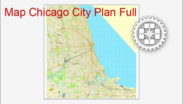
Mappe vettoriali del Chicago Illinois US per il design e la stampa, royalty free
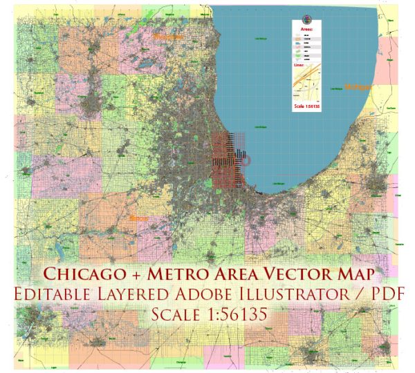
Archivi di download istantaneo: mappe vettoriali royalty free e modificabili di Chicago Illinois US in alta risoluzione
PDF digitale e formato Adobe Illustrator.
Tutte queste mappe vettoriali modificabili Chicago Illinois US sono file digitali,
che può essere scaricato istantaneamente in formato PDF modificabile o Adobe Illustrator.
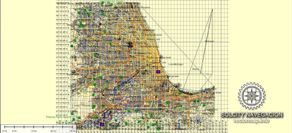
Gli oggetti sulle mappe sono generalmente divisi in livelli in base al loro tipo: linee, poligoni,
nomi delle strade, nomi degli oggetti (vedi descrizione della mappa!!!!)
Ognuna di queste mappe digitali Chicago Illinois US è disponibile in Adobe Illustrator o in formato PDF modificabile,
(o su richiesta in qualsiasi altro formato noto per lo stesso prezzo)
che utilizzano un approccio vettoriale per visualizzare le immagini,
puoi ingrandire facilmente qualsiasi parte di queste mappe senza compromettere la qualità del testo, delle linee o della grafica,
con qualsiasi rapporto di aumento o diminuzione.
Utilizzando un editor di grafica vettoriale come Adobe Illustrator, CorelDraw, Inkscape o Freehand
puoi facilmente ritagliare parti della mappa, aggiungere caratteri personalizzati e modificare i colori e gli attributi dei caratteri secondo necessità.
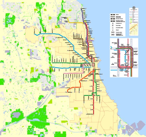
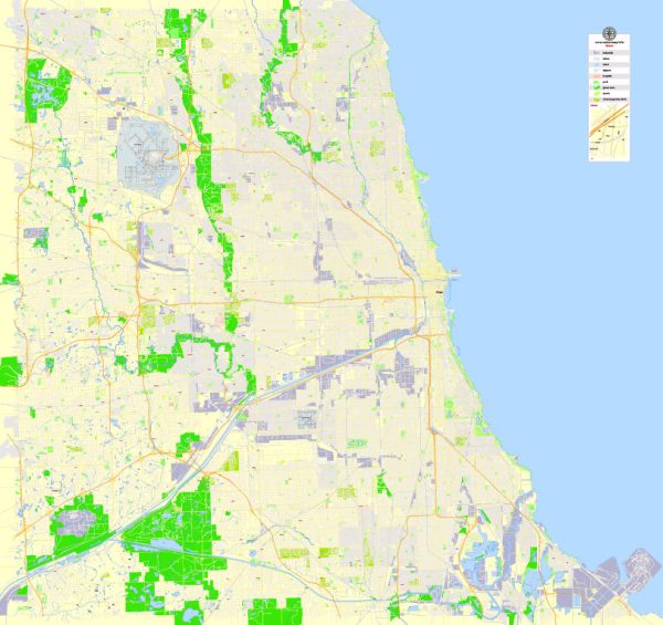
Abbiamo una varietà di mappe vettoriali Chicago Illinois US con diversi livelli di dettaglio,
da semplici percorsi vuoti a mappe altamente dettagliate con strade e strati del terreno.
Chicago History
“It is hopeless for the occasional visitor to try to keep up with Chicago. She outgrows his prophecies faster than he can make them.” – Mark Twain, 1883
Chicago was only 46 years old when Mark Twain wrote those words, but it had already grown more than 100-fold, from a small trading post at the mouth of the Chicago River into one of the nation’s largest cities, and it wasn’t about to stop. Over the next 20 years, it would quadruple in population, amazing the rest of the world with its ability to repeatedly reinvent itself.
And it still hasn’t stopped.
Chicago continues to be a place that many people from diverse backgrounds call home. Before it was a city, it was the home to numerous indigenous peoples, a legacy which continues to frame our relationship with the city, the land, and the environment.
Today, Chicago has become a global city, a thriving center of international trade and commerce, and a place where people of every nationality and background come to pursue the American dream.
Indigenous Chicago
Chicago is the traditional homelands of Hoocąk (Winnebago/Ho’Chunk), Jiwere (Otoe), Nutachi (Missouria), and Baxoje (Iowas); Kiash Matchitiwuk (Menominee); Meshkwahkîha (Meskwaki); Asâkîwaki (Sauk); Myaamiaki (Miami), Waayaahtanwaki (Wea), and Peeyankihšiaki (Piankashaw); Kiikaapoi (Kickapoo); Inoka (Illini Confederacy); Anishinaabeg (Ojibwe), Odawak (Odawa), and Bodéwadmik (Potawatomi). Seated atop a continental divide, the Chicago region is located at the intersection of several great waterways, leading the area to become the site of travel and healing for many Tribes.
The City understands that Tribes are sovereign Nations and should have the first voice in acknowledging their historical and contemporary presence on this land. If your Tribe would like to see changes, please reach out to us for comments.
Early Chicago
Chicago’s first permanent non-indigenous resident was a trader named Jean Baptiste Point du Sable, a free black man from Haiti whose father was a French sailor and whose mother as an African slave, he came here in the 1770s via the Mississippi River from New Orleans with his Native American wife, and their home stood at the mouth of the Chicago River. In 1803, the U.S. government built Fort Dearborn at what is now the corner of Michigan Avenue and Wacker Drive (look for the bronze markers in the pavement). It was destroyed in 1812 following the Battle of Fort Dearborn, rebuilt in 1816, and permanently demolished in 1857.
A Trading Center
Incorporated as a city in 1837, Chicago was ideally situated to take advantage of the trading possibilities created by the nation’s westward expansion. The completion of the Illinois & Michigan Canal in 1848 created a water link between the Great Lakes and the Mississippi River, but the canal was soon rendered obsolete by railroads. Today, 50 percent of U.S. rail freight continues to pass through Chicago, even as the city has become the nation’s busiest aviation center, thanks to O’Hare and Midway International airports.
The Great Fire of 1871
As Chicago grew, its residents took heroic measures to keep pace. In the 1850s, they raised many of the streets five to eight feet to install a sewer system – and then raised the buildings, as well. Unfortunately, the buildings, streets and sidewalks were made of wood, and most of them burned to the ground in the Great Chicago Fire of 1871. The Chicago Fire Department training academy at 558 W. DeKoven St. is on the site of the O’Leary property where the fire began. The Chicago Water Tower and Pumping Station at Michigan and Chicago avenues are among the few buildings to have survived the fire.
“The White City”
Chicago rebuilt quickly. Much of the debris was dumped into Lake Michigan as landfill, forming the underpinnings for what is now Grant Park, Millennium Park and the Art Institute of Chicago. Only 22 years later, Chicago celebrated its comeback by holding the World’s Columbian Exposition of 1893, with its memorable “White City.” One of the Exposition buildings was rebuilt to become the Museum of Science and Industry. Chicago refused to be discouraged even by the Great Depression. In 1933 and 1934, the city held an equally successful Century of Progress Exposition on Northerly Island.
Hull House
In the half-century following the Great Fire, waves of immigrants came to Chicago to take jobs in the factories and meatpacking plants. Many poor workers and their families found help in settlement houses operated by Jane Addams and her followers. Her Hull House Museum is located at 800 S. Halsted St.
Chicago Firsts
Throughout their city’s history, Chicagoans have demonstrated their ingenuity in matters large and small:
The nation’s first skyscraper, the 10-story, steel-framed Home Insurance Building, was built in 1884 at LaSalle and Adams streets and demolished in 1931.
When residents were threatened by waterborne illnesses from sewage flowing into Lake Michigan, they reversed the Chicago River in 1900 to make it flow toward the Mississippi.
Start of the “Historic Route 66” which begins at Grant Park on Adams Street in the front of the Art Institute of Chicago.
Chicago was the birthplace of:
the refrigerated rail car (Swift)
mail-order retailing (Sears and Montgomery Ward)
the car radio (Motorola)
the TV remote control (Zenith)
The first self-sustaining nuclear chain reaction, ushering in the Atomic Age, took place at the University of Chicago in 1942. The spot is marked by a Henry Moore sculpture on Ellis Avenue between 56th and 57th streets.
The 1,451-foot Willis Tower (formerly known as the Sears Tower), completed in 1974, was the the tallest building in the world from 1974 to 1998.
Source: https://www.chicago.gov/city/en/about/history.html

 Author: Kirill Shrayber, Ph.D. FRGS