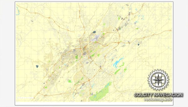
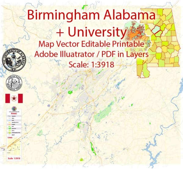
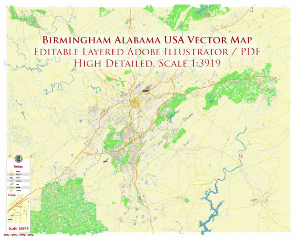
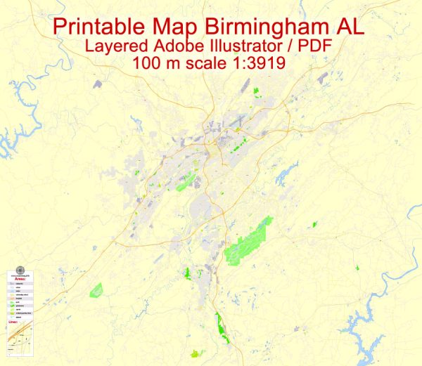
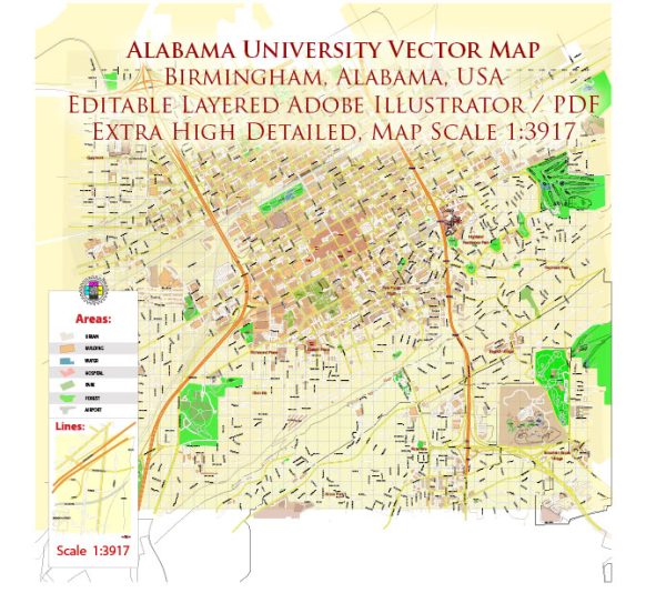
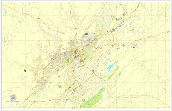
Vector Maps of the Birmingham : largest city in Alabama, U.S., located in the north-central part of the state. It is a leading industrial center of the South. Birmingham is the seat (1873) of Jefferson county, a port of entry in the Mobile customs district, and the focus of a large metropolitan area that includes the surrounding counties of Blount, St. Clair, and Shelby as well as such cities as Bessemer, Homewood, and Fairfield.
Instant download archives: royalty free, editable vector maps of Birmingham Alabama in high resolution digital PDF and Adobe Illustrator format.
Birmingham AL geographical dataCity Name: Birmingham |
Small towns nearby:Adamsville AL |
Large cities nearby:Montgomery AL street map |
All of our editable Birmingham Alabama vector maps are digital files,
which can be instantly downloaded in editable PDF or Adobe Illustrator format.
Objects on maps are usually divided into layers according to their types – lines, polygons, street names, object names (see map description!!!!)
Each of our Birmingham Alabama digital maps is available in Adobe Illustrator or editable PDF format, (or on request in any other known format for the same price)
which use a vector approach to display images,
you can easily enlarge any part of our maps without compromising text, line or graphic quality,
with any increase or decrease ratio.
Using a vector graphics editor such as Adobe Illustrator, CorelDraw, Inkscape, or Freehand
you can easily crop parts of the map, add custom characters, and change colors and font attributes as needed.
We have a variety of Birmingham Alabama vector maps with different levels of detail, from simple empty paths to highly detailed maps with roads and terrain layers.
Don’t see exactly what you’re looking for? Contact us to receive a special offer for an individual Birmingham Alabama map for your project.

 Author: Kirill Shrayber, Ph.D. FRGS