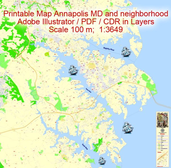
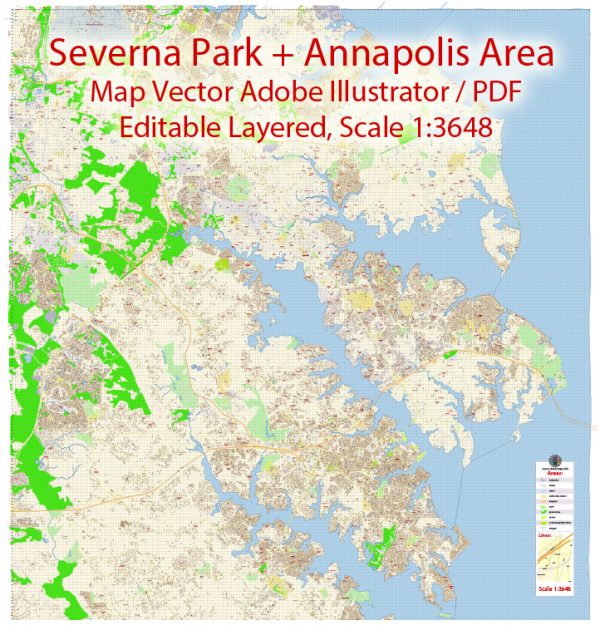
Vector Maps of the Annapolis : Maryland’s capital city, is on Chesapeake Bay. Its historic district includes 18th-century brick houses and the domed 1700s Maryland State House. On Church Circle, the Romanesque-style St. Anne’s Episcopal Church has Tiffany glass windows and a historic cemetery. The sprawling waterfront grounds of the United States Naval Academy feature beaux arts architecture, monuments and a naval history museum.
Elevation: 12 m
Area: 21 km²
Population: 41,154
Instant download archives: royalty free, editable vector maps of Annapolis Maryland in high resolution digital PDF and Adobe Illustrator format.
Annapolis MD geographical dataCity Name: Annapolis |
Small towns nearby:Arden on the Severn MD |
Large cities nearby:Baltimore MD street map |
All of our editable Annapolis Maryland vector maps are digital files,
which can be instantly downloaded in editable PDF or Adobe Illustrator format.
Objects on maps are usually divided into layers according to their types – lines, polygons, street names, object names (see map description!!!!)
Each of our Annapolis Maryland digital maps is available in Adobe Illustrator or editable PDF format, (or on request in any other known format for the same price)
which use a vector approach to display images,
you can easily enlarge any part of our maps without compromising text, line or graphic quality,
with any increase or decrease ratio.
Using a vector graphics editor such as Adobe Illustrator, CorelDraw, Inkscape, or Freehand
you can easily crop parts of the map, add custom characters, and change colors and font attributes as needed.
We have a variety of Annapolis Maryland vector maps with different levels of detail, from simple empty paths to highly detailed maps with roads and terrain layers.
Don’t see exactly what you’re looking for? Contact us to receive a special offer for an individual Annapolis Maryland map for your project.


 Author: Kirill Shrayber, Ph.D. FRGS