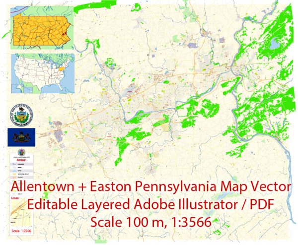
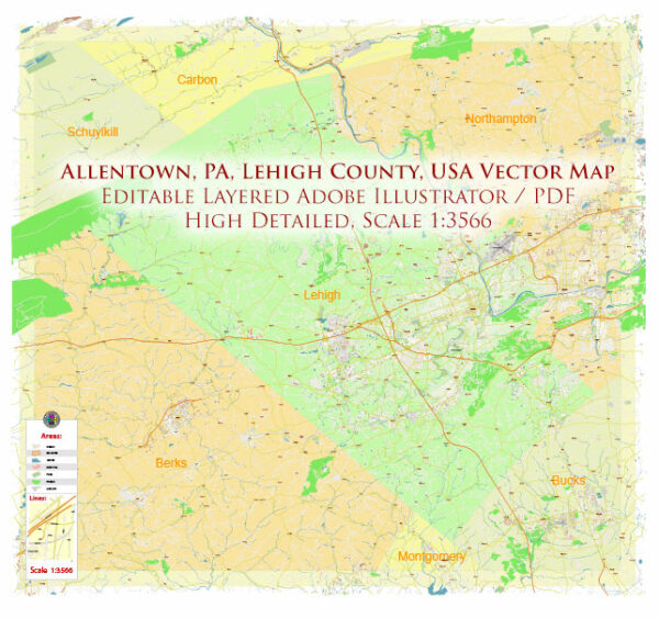
Cartes vectorielles du Allentown Easton Pennsylvania US
Archives de téléchargement instantané : cartes vectorielles modifiables libres de droits de Allentown Easton Pennsylvania US en haute résolution
PDF numérique et format Adobe Illustrator.
Toutes ces cartes vectorielles modifiables Allentown Easton Pennsylvania US sont des fichiers numériques,
téléchargeable instantanément au format PDF éditable ou Adobe Illustrator.
Les objets sur les cartes sont généralement divisés en couches selon leurs types – lignes, polygones,
noms de rues, noms d’objets (voir description de la carte !!!!)
Chacune de ces cartes numériques Allentown Easton Pennsylvania US est disponible au format Adobe Illustrator ou PDF modifiable,
(ou sur demande dans tout autre format connu pour le même prix)
qui utilisent une approche vectorielle pour afficher les images,
vous pouvez facilement agrandir n’importe quelle partie de ces cartes sans compromettre la qualité du texte, des lignes ou des graphiques,
avec n’importe quel rapport d’augmentation ou de diminution.
Utilisation d’un éditeur de graphiques vectoriels tel qu’Adobe Illustrator, CorelDraw, Inkscape ou Freehand
vous pouvez facilement recadrer des parties de la carte, ajouter des caractères personnalisés et modifier les couleurs et les attributs de police selon vos besoins.
Nous avons une variété de cartes vectorielles Allentown Easton Pennsylvania US avec différents niveaux de détail,
des simples chemins vides aux cartes très détaillées avec des routes et des couches de terrain.


 Author: Kirill Shrayber, Ph.D. FRGS