Alameda California US Map: PDF and Adobe Illustrator

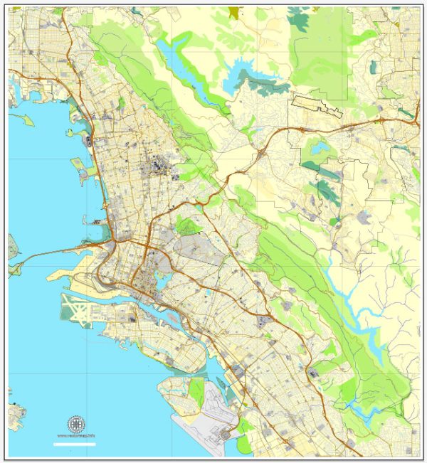
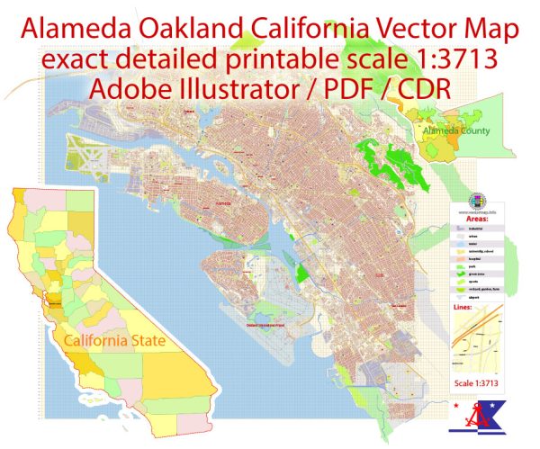
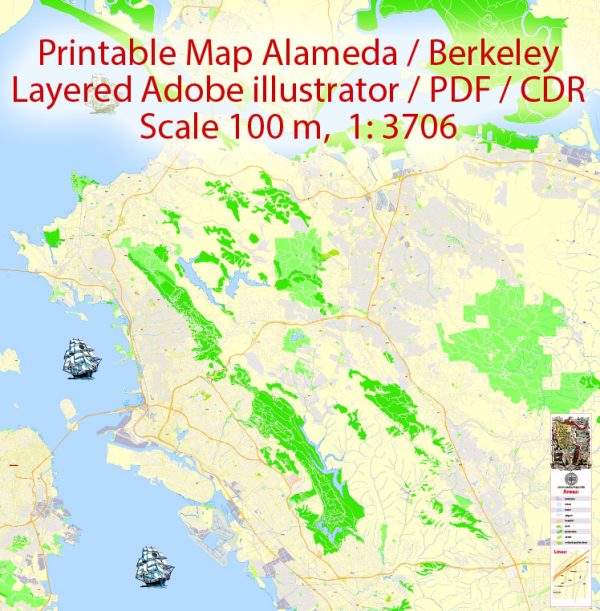
Vector Maps of the Alameda : city in Alameda County, California, United States. It spans Alameda Island, Bay Farm Island, and a few minor islands. It is adjacent to and south of Oakland and east of San Francisco across the San Francisco Bay.
Elevation: 10 m
Area: 59.52 km²
Population: 79,343

Instant download archives: royalty free, editable vector maps of Alameda California US in high resolution digital PDF and Adobe Illustrator format.

All of our editable Alameda California US vector maps are digital files,
which can be instantly downloaded in editable PDF or Adobe Illustrator format.
Objects on maps are usually divided into layers according to their types – lines, polygons, street names, object names (see map description!!!!)
Each of our Alameda California US digital maps is available in Adobe Illustrator or editable PDF format, (or on request in any other known format for the same price)
which use a vector approach to display images,
you can easily enlarge any part of our maps without compromising text, line or graphic quality,
with any increase or decrease ratio.
Using a vector graphics editor such as Adobe Illustrator, CorelDraw, Inkscape, or Freehand
you can easily crop parts of the map, add custom characters, and change colors and font attributes as needed.
We have a variety of Alameda California US vector maps with different levels of detail, from simple empty paths to highly detailed maps with roads and terrain layers.

Alameda CA geographical data

City Name: Alameda
Population: 70,443
County: Alameda County
State: California
Country: United States
Capital: Washington
Currency: Dollar (USD)
Geographic coordinates:
(decimal degrees)
Latitude: 37.77° N
Longitude: -122.24°W
Elevation: 3 ft / 1 m
Districts: The Embarcadero

Small towns nearby:

Albany CA
Ashland CA
Berkeley CA
Brisbane CA
Burlingame CA
Castro Valley CA
Cherryland CA
East Richmond Heights CA
El Cerrito CA
Emeryville CA
Fairview CA
Hayward CA
Hillsborough CA
Kensington CA
Lafayette CA
Millbrae CA
Moraga CA
Oakland CA
Orinda CA
Piedmont CA
Pleasant Hill CA
Richmond CA
Rollingwood CA
San Bruno CA
San Francisco CA
San Leandro CA
San Lorenzo CA
San Pablo CA
South San Francisco CA
Waldon CA
Walnut Creek CA

Oakland CA geographical data

City Name: Oakland
Population: 399,484
County: Alameda County
State: California
Country: United States
Capital: Washington
Currency: Dollar (USD)
Geographic coordinates:
(decimal degrees)
Latitude: 37.8° N
Longitude: -122.27°W
Elevation: 0 ft / 0 m
Districts: The Embarcadero

Large cities nearby:

Oakland CA
San Francisco CA
Berkeley CA
Hayward CA
San Jose CA
Richmond CA
Fremont CA
Concord CA
Vallejo CA
Sunnyvale CA
Antioch CA
Santa Clara CA
Fairfield CA
Sacramento CA
Stockton CA
Santa Rosa CA
Modesto CA
Salinas CA
Fresno CA
Roseville CA
Reno NV
Visalia CA
Carson City NV

street names in Alameda

street names in Berkeley

street names in Oakland

Don’t see exactly what you’re looking for? Contact us to receive a special offer for an individual Alameda California US map for your project.

Author: Kirill Shrayber, Ph.D.

I have been working with vector cartography for over 25 years, including GPS, GIS, Adobe Illustrator and other professional cartographic software.
Linkedin: https://www.linkedin.com/in/kirill-shrayber-0b839325/
Twitter: https://twitter.com/vectormapper

Are we missing some maps? Let us know!!!
What map do you need?

    We will upload it within the next 24 hours and notify you by Email.

    [mailpoet_form id=”1″]

    Menu