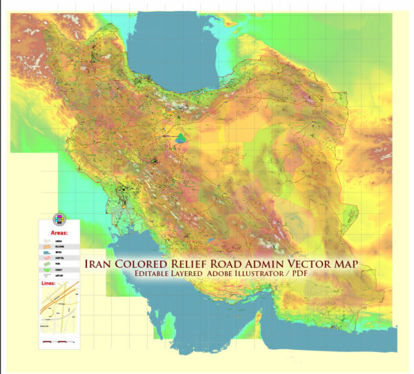
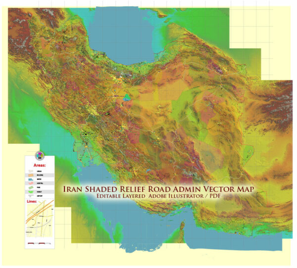
Vector Maps of the Iran : also called Persia, and officially the Islamic Republic of Iran, is a country in Western Asia.
It is bordered to the west by Iraq and Turkey, to the northwest by Azerbaijan and Armenia, to the north by the Caspian Sea, to the northeast by Turkmenistan, to the east by Afghanistan and Pakistan, and to the south by the Gulf of Oman and the Persian Gulf. Iran covers an area of 1,648,195 km2 (636,372 sq mi), making it the fourth-largest country entirely in Asia and the second-largest in Western Asia. Its population is 85 million, the 17th-most populous in the world.
Capital: Tehran
Area: 1,648,195 km2 (636,372 sq mi)
Water: (%) 1.63
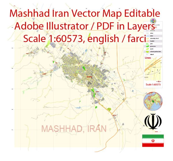
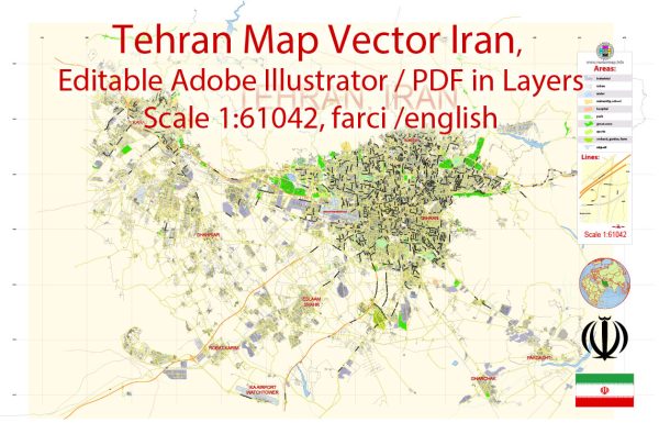
Download royalty free, editable vector maps of Iran in high resolution digital PDF and Adobe Illustrator format.
For printing LARGE (WALL) or SMALL (A4) format (please, see the preview and descriptions). DWG, DXF, CDR, ESRI Shapes, and other formats.
Map Data Specification
-
Data type: Vector cartographic dataset
-
Geometry: Polylines and polygons
-
Coordinate system: WGS84 geographic coordinate system
-
Editing compatibility: Adobe Illustrator and vector graphic editors
-
Data structure: Layered map file suitable for design and print workflows


 Author: Kirill Shrayber, Ph.D. FRGS