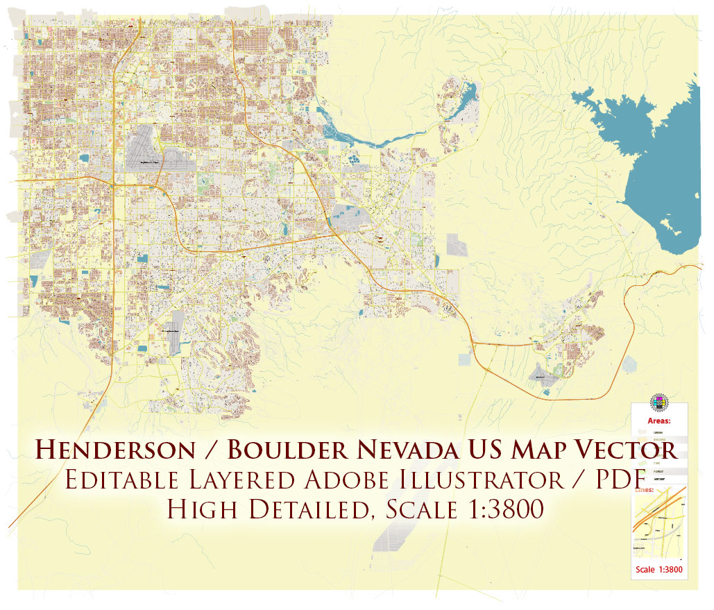
Editable Vector Maps of Henderson and Boulder City Nevada
Professional editable vector map of Henderson and Boulder City Nevada available in Adobe Illustrator and layered PDF formats for graphic design, publishing, architecture, urban planning, logistics, and commercial media projects.
This Henderson and Boulder City Nevada city map is prepared as a detailed street plan with editable vector layers. The map is supplied in editable vector formats suitable for Adobe Illustrator, PDF-based workflows, print production, presentations, publishing, and large-format design projects.
Henderson, Nevada
Henderson is one of the major urban centers of the Las Vegas metropolitan area, located in southern Nevada southeast of Las Vegas. The city is closely connected with the regional road network, including Interstate 11, U.S. Route 93, U.S. Route 95, State Route 582, Lake Mead Parkway, Eastern Avenue, and other important transport corridors. Key local landmarks and urban zones include Green Valley, Lake Las Vegas, Henderson Executive Airport, major commercial districts, and surrounding residential and recreational areas.
Boulder City, Nevada
Boulder City is a strategically located urban center in southern Nevada, positioned between Las Vegas and the Hoover Dam corridor. The city is closely connected with the regional road network, including Interstate 11, U.S. Route 93, U.S. Route 95, Nevada State Route 172, and other important transport corridors leading toward Las Vegas, Hoover Dam, and Arizona. Important local landmarks and urban zones include Hoover Dam, Lake Mead National Recreation Area access points, Boulder City Municipal Airport, historic downtown Boulder City, and surrounding desert residential and tourism-related districts.
What this Henderson and Boulder City Nevada vector map is useful for
- city map posters and wall maps
- tourism and visitor information design
- real estate and development presentations
- transportation and logistics schemes
- editorial, publishing, and media graphics
- architectural and urban planning backgrounds
- commercial print and web design projects
Map features
- editable vector format
- layered Adobe Illustrator structure
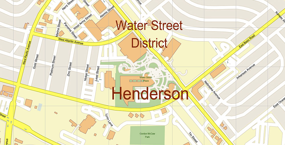
- detailed street and road network
- major highways and transport corridors
- urban blocks, water objects, parks, and selected city features
- suitable for professional design and print production
- instant digital download from VectorMap.net
This page is a short preview and overview of the Henderson and Boulder City Nevada map product. The full product page includes detailed specifications, preview images, file information, licensing notes, and purchase options.
Available formats
- Adobe Illustrator (.AI) — fully editable layered vector file for designers and professional graphics workflows.
- Layered PDF — editable universal vector format compatible with many graphics and print applications, convenient for users without Adobe Illustrator.
Choose your preferred map format
This Henderson and Boulder City Nevada vector map is available in multiple professional formats depending on your workflow and software.