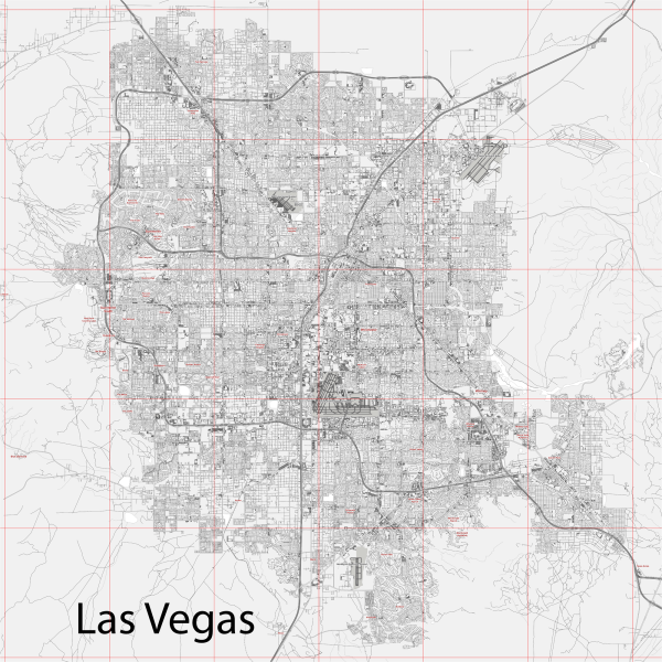
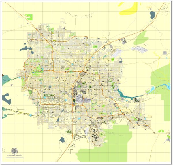
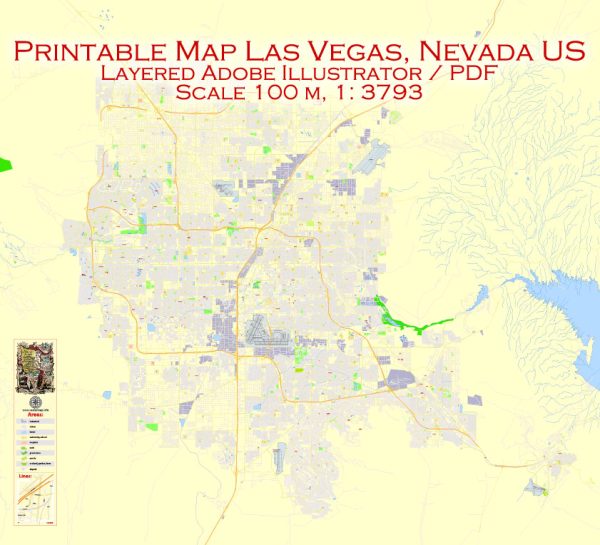
Vector Maps of the Las Vegas : city, seat (1909) of Clark county, southeastern Nevada, U.S. The only major city in the American West to have been founded in the 20th century, Las Vegas grew from a tiny, desert-bound railroad service center at the outset of the 20th century to the country’s fastest-growing metropolis at century’s end. This transformation—made possible by a combination of shrewd entrepreneurship, access to water, an extensive transportation network, and permissive state laws — has created the city now often known simply as “Vegas,” a place of vast casinos, elaborate hotels, and spectacular entertainment venues that attracts masses of visitors from throughout the world.
Area:
• City: 141.84 sq mi (367.36 km2)
• Land: 141.78 sq mi (367.22 km2)
• Water: 0.05 sq mi (0.14 km2)
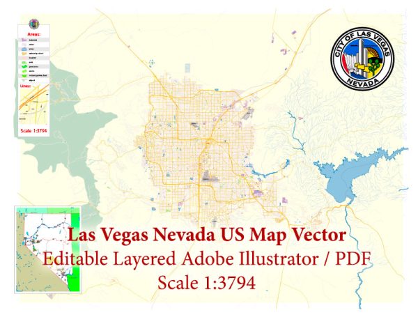
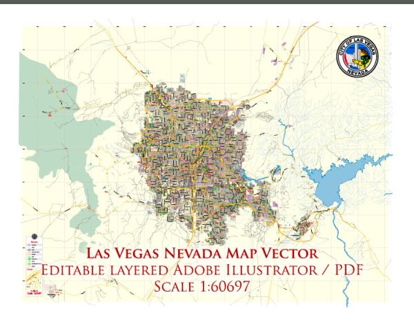
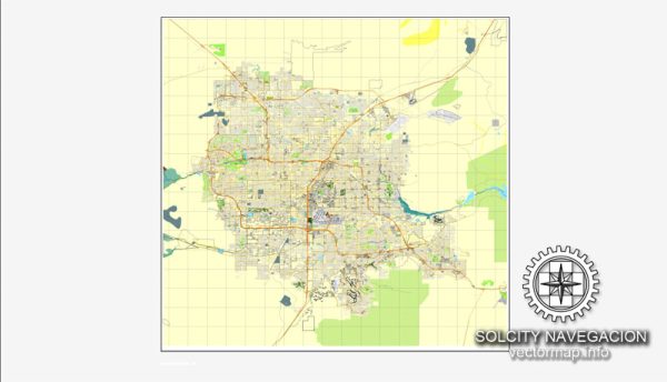
Instant download archives: royalty free, editable vector maps of Las Vegas Nevada in high resolution digital PDF and Adobe Illustrator format.
All of our editable Las Vegas Nevada vector maps are digital files,
which can be instantly downloaded in editable PDF or Adobe Illustrator format.
Objects on maps are usually divided into layers according to their types – lines, polygons, street names, object names (see map description!!!!)
Each of our Las Vegas Nevada digital maps is available in Adobe Illustrator or editable PDF format, (or on request in any other known format for the same price)
which use a vector approach to display images,
you can easily enlarge any part of our maps without compromising text, line or graphic quality,
with any increase or decrease ratio.
Using a vector graphics editor such as Adobe Illustrator, CorelDraw, Inkscape, or Freehand
you can easily crop parts of the map, add custom characters, and change colors and font attributes as needed.
We have a variety of Las Vegas Nevada vector maps with different levels of detail, from simple empty paths to highly detailed maps with roads and terrain layers.
Don’t see exactly what you’re looking for? Contact us to receive a special offer for an individual Las Vegas Nevada map for your project.

 Author: Kirill Shrayber, Ph.D.