Extended Description of the Vector Map
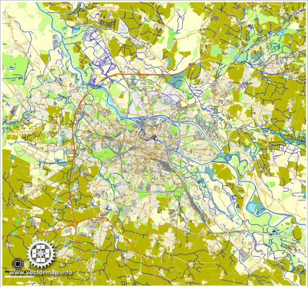
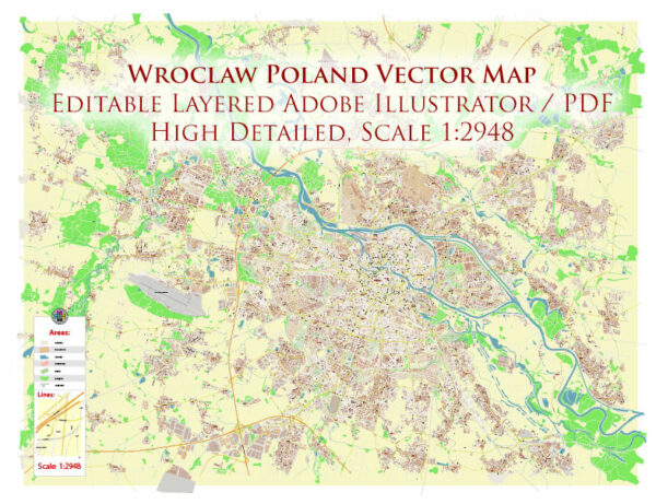
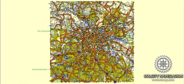
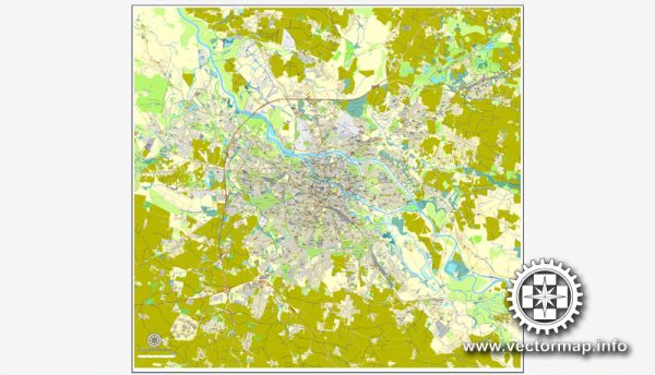
Printable Vector Map of Wroclaw Metro Area Poland high detailed scale 1:2948 full editable Adobe Illustrator Street Map in layers, scalable, text / curves format all names, 43 MB ZIP
All street names, Main Objects, Buildings. Map for design, printing, arts, projects, presentations, for architects, designers, and builders, business, logistics.

Wroclaw Metro Area Poland Vector Map High Detailed Street Map Adobe Illustrator in layers
Layers list:
- Legend
- Grids
- Names of places 2 (cities, towns, hamlets)
- Names of main streets
- Names of Residencial streets
- Arrows of streets directions
- Main Streets, roads
- Railroads
- Residencial streets
- Buildings
- Buildings (transparent 50%)
- Airports and heliports
- Water objects (rivers, lakes, ponds)
- Color fills (parks, hospital areas, land use, etc.)
- Background
The most exact and detailed map of the city in scale.
For Editing and High-Quality Printing
Detailed Geographical Description of Wrocław, Poland
Wrocław is the largest city in western Poland and serves as the administrative capital of the Lower Silesian Voivodeship (Województwo Dolnośląskie). It is one of Poland’s most historically significant and culturally vibrant cities. Known for its picturesque architecture, numerous bridges, and islands on the Odra River, Wrocław is often referred to as the “Venice of Poland.” Below is a detailed geographical description of the city.
1. Location
- Country: Poland
- Region: Central Europe
- Voivodeship: Lower Silesian Voivodeship
- Coordinates: 51.1079° N, 17.0385° E
- Elevation: Approximately 120–150 meters (394–492 feet) above sea level
- Distance from Major Cities:
- Warsaw: ~360 km (224 miles) east
- Kraków: ~270 km (168 miles) southeast
- Berlin: ~350 km (217 miles) west
2. Topography
Wrocław is situated in the Silesian Lowlands (Nizina Śląska), a region characterized by relatively flat terrain with gentle undulations. The city lies along the banks of the Odra River (Oder River), which plays a central role in shaping its geography and urban layout.
Key Features:
- Odra River: The river flows through the city, dividing it into several sections. It has multiple branches and tributaries, creating a network of waterways.
- Islands: Wrocław is famous for its 12 islands, the largest being Wyspa Piaskowa (Sand Island) and Wyspa Słodowa (Malt Island) . These islands are connected by over 100 bridges, earning the city its nickname as the “Venice of Poland.”
- Lowland Plains: The surrounding area consists of fertile plains, ideal for agriculture, with occasional morainic hills formed during the last Ice Age.
3. Climate
Wrocław experiences a humid continental climate (Köppen climate classification: Dfb), characterized by four distinct seasons.
Seasonal Breakdown:
- Spring (March–May): Mild temperatures with gradual warming; occasional rainfall.
- Summer (June–August): Warm to hot, with average high temperatures ranging from 22°C to 30°C (72°F to 86°F). Thunderstorms are common.
- Autumn (September–November): Cool and damp, with colorful foliage in the surrounding forests.
- Winter (December–February): Cold, with average low temperatures around -3°C to -5°C (27°F to 23°F). Snowfall is frequent but not heavy.
The city’s location in Central Europe exposes it to influences from both maritime Atlantic air masses and continental Siberian air masses, leading to variable weather patterns.
4. Hydrography
The Odra River is the dominant hydrographic feature of Wrocław. It flows from south to north through the city, forming a complex system of channels, canals, and backwaters.
Major Tributaries:
- Bystrzyca River: A smaller river that joins the Odra within the city limits.
- Ślęza River: Another tributary flowing into the Odra near Wrocław.
Water Bodies:
- Millennium Park Pond: A large artificial pond located near the Wrocław Zoo.
- Reservoirs and Canals: The city has an intricate network of canals used historically for transportation and milling.
5. Urban Layout
Wrocław is divided into five main districts (dzielnice), each with its own unique character:
- Stare Miasto (Old Town): The historic heart of the city, featuring Gothic, Baroque, and Renaissance architecture. Key landmarks include the Market Square (Rynek) and Wrocław Cathedral on Ostrów Tumski (Cathedral Island).
- Śródmieście (City Center): The modern commercial and business hub, home to shopping malls, offices, and cultural institutions.
- Psie Pole: A residential district with parks and green spaces, including the expansive Zoo Wrocław.
- Krzyki: Known for its industrial heritage and working-class neighborhoods.
- Fabryczna: A rapidly developing area with new housing projects and infrastructure.
6. Natural Environment
Despite being an urban center, Wrocław is surrounded by natural landscapes that contribute to its ecological diversity.
Parks and Green Spaces:
- Szczytnicki Park: One of the largest parks in the city, featuring botanical gardens, a Japanese Garden, and recreational areas.
- Parks on the Islands: Wyspa Piaskowa and Wyspa Słodowa offer tranquil retreats with walking paths and picnic spots.
- Odra River Promenade: A scenic route along the riverbanks popular for cycling and jogging.
Surrounding Areas:
- Biskupin Forest: Located to the northeast, this forested area provides opportunities for hiking and wildlife observation.
- Jeziora Milickie (Milicz Ponds): A protected wetland area about 50 km (31 miles) northwest of Wrocław, known for birdwatching.
7. Geological Features
The geology of Wrocław is shaped by glacial activity during the Pleistocene epoch. The region consists primarily of alluvial deposits, clay, sand, and gravel layers. These deposits make the soil highly fertile, supporting agriculture in the surrounding countryside.
8. Environmental Challenges
Like many urban centers, Wrocław faces environmental challenges such as air pollution, waste management, and flooding risks due to its proximity to the Odra River. Efforts are underway to improve sustainability, including investments in public transportation and green infrastructure.
Conclusion
Wrocław’s geography reflects a harmonious blend of natural beauty and urban development. Its location along the Odra River, combined with its flat terrain and temperate climate, has made it a thriving cultural and economic hub. The city’s rich history, diverse architecture, and lush green spaces make it a unique destination in Central Europe.

Wroclaw Metro Area Poland Vector Map High Detailed Street Map Adobe Illustrator in layers

Wroclaw Metro Area Poland Vector Map High Detailed Street Map Adobe Illustrator in layers

Wroclaw Metro Area Poland Vector Map High Detailed Street Map Adobe Illustrator in layers

Wroclaw Metro Area Poland Vector Map High Detailed Street Map Adobe Illustrator in layers

Wroclaw Metro Area Poland Vector Map High Detailed Street Map Adobe Illustrator in layers

Wroclaw Metro Area Poland Vector Map High Detailed Street Map Adobe Illustrator in layers

Wroclaw Metro Area Poland Vector Map High Detailed Street Map Adobe Illustrator in layers

Wroclaw Metro Area Poland Vector Map High Detailed Street Map Adobe Illustrator in layers

Wroclaw Metro Area Poland Vector Map High Detailed Street Map Adobe Illustrator in layers

Wroclaw Metro Area Poland Vector Map High Detailed Street Map Adobe Illustrator in layers

Wroclaw Metro Area Poland Vector Map High Detailed Street Map Adobe Illustrator in layers

Wroclaw Metro Area Poland Vector Map High Detailed Street Map Adobe Illustrator in layers

Wroclaw Metro Area Poland Vector Map High Detailed Street Map Adobe Illustrator in layers

Wroclaw Metro Area Poland Vector Map High Detailed Street Map Adobe Illustrator in layers

Wroclaw Metro Area Poland Vector Map High Detailed Street Map Adobe Illustrator in layers

Wroclaw Metro Area Poland Vector Map High Detailed Street Map Adobe Illustrator in layers

Wroclaw Metro Area Poland Vector Map High Detailed Street Map Adobe Illustrator in layers


 Author: Kirill Shrayber, Ph.D. FRGS


