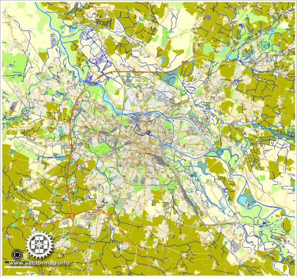
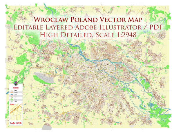
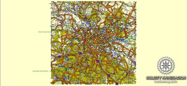
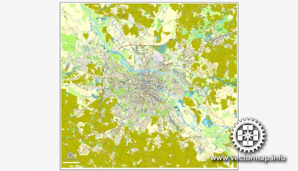
Wroclaw is a city in western Poland known for its picturesque architecture and numerous waterways. The city is situated on the Oder River and has several islands connected by a network of bridges. Vectormap.Net provide you with the most accurate and up-to-date vector maps in Adobe Illustrator, PDF and other formats, designed for editing and printing. Please read the vector map descriptions carefully.
Waterways:
- Oder River: The Oder River flows through Wroclaw, dividing the city into several parts. It is a major waterway and adds to the scenic beauty of the city.
- Oder Islands: Wroclaw is known for its numerous islands on the Oder River, including Ostrow Tumski, Sand Island, and Cathedral Island. These islands are connected by various bridges.
Bridges:
- Grunwaldzki Bridge: This is one of the most iconic bridges in Wroclaw, connecting the eastern and western parts of the city. It’s a suspension bridge with a distinctive red color.
- Tumski Bridge: Also known as the Cathedral Bridge, it connects the Cathedral Island with other parts of Wroclaw. The bridge is famous for the love locks attached by couples.
- Most Piaskowy (Sand Bridge): This is another notable bridge in Wroclaw, connecting the Sand Island with the rest of the city.
Main Streets:
- Rynek (Market Square): The Market Square is the central square in Wroclaw and one of the largest medieval squares in Europe. It is surrounded by colorful townhouses, shops, and restaurants.
- Swidnicka Street: Leading from the Market Square, Swidnicka Street is one of the main streets in Wroclaw, lined with shops, cafes, and historic buildings.
- Kazimierza Wielkiego Street: This street runs parallel to the Oder River and is known for its historic architecture, including the National Forum of Music.
- Wita Stwosza Street: It connects the Market Square with the Cathedral Island and is named after the famous German sculptor Veit Stoss.
- Piłsudskiego Street: A major thoroughfare in Wroclaw, it crosses the Oder River and provides access to different parts of the city.


 Author: Kirill Shrayber, Ph.D.