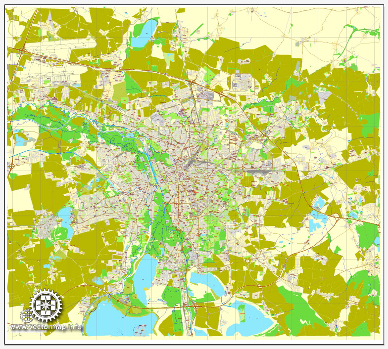
Leipzig, Germany, printable vector street City Plan map, full editable, Adobe Illustrator, full vector, scalable, editable, text format street names, 12,8 mb ZIP
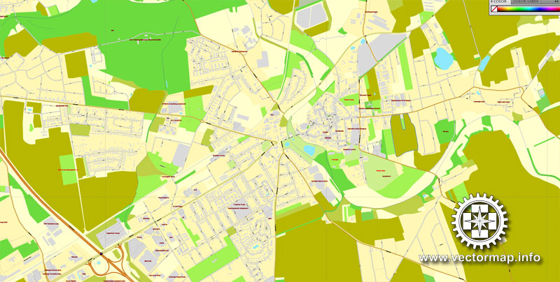
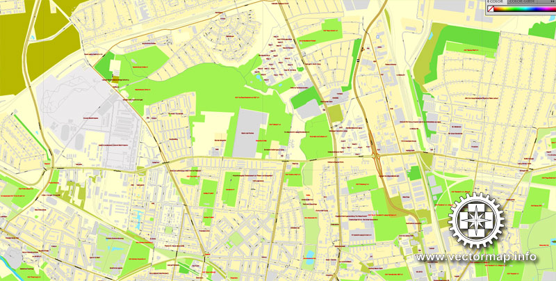
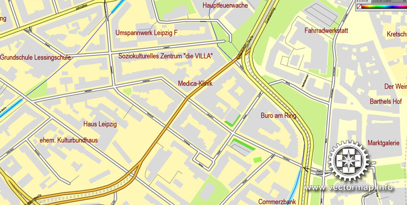
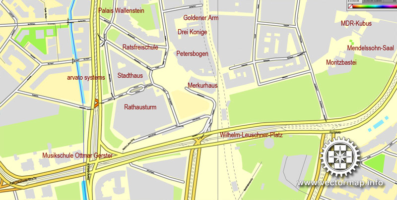
All streets, All buildings. Map for design, print, arts, projects, presentations.
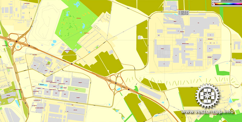
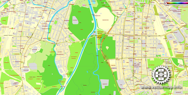
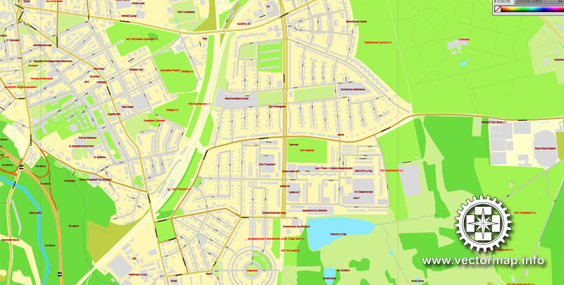
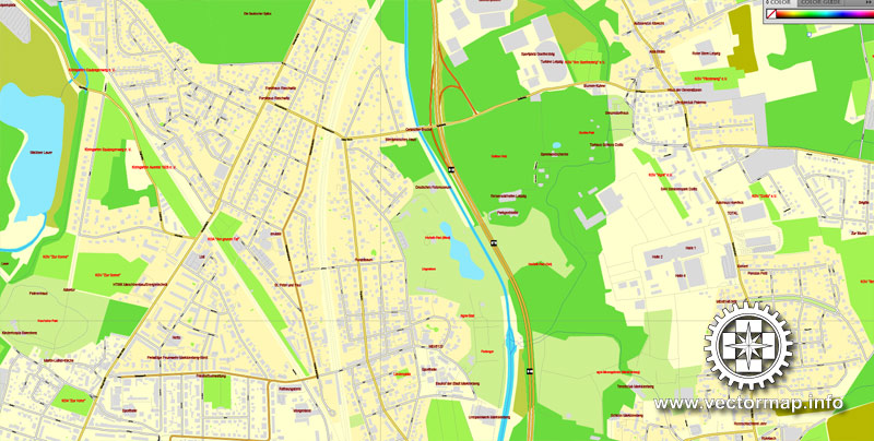
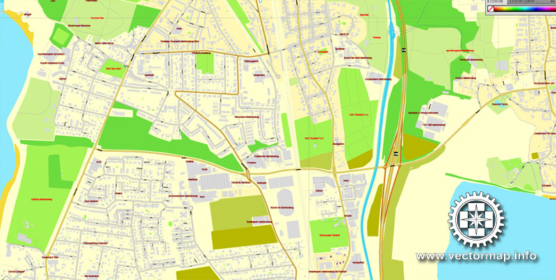
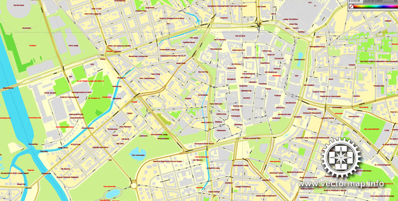
The most accurate and detailed map of the city.
DXF, DWG, CDR and other formats – on request, same price, please, contact
Leipzig, Germany.
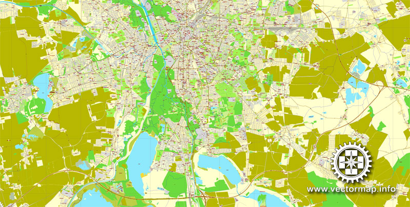
This vector map of Leipzig is used as a basis for design, editing, and further printing.
This is the most detailed, exact map of Leipzig for high-quality printing and polygraphy. You can always clarify the map development date by contacting us.
For your convenience, all objects on Leipzig vector map are divided into layers. And the editing is very easy – colors, lines, etc.
You can easily add any objects needed (e.g. shops, salons, sale points, gas station or attraction) on any layer of Leipzig vector map.
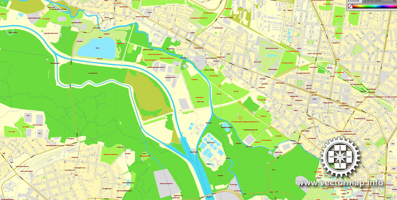
Leipzig is the most populous city in the federal state of Saxony, Germany. With a population of 591,686 inhabitants as of 30 June 2018, (1.1 million residents in the larger urban zone) it is Germany’s tenth most populous city. Leipzig is located about 160 kilometres (99 mi) southwest of Berlin at the confluence of the White Elster, Pleiße and Parthe rivers at the southern end of the North German Plain.
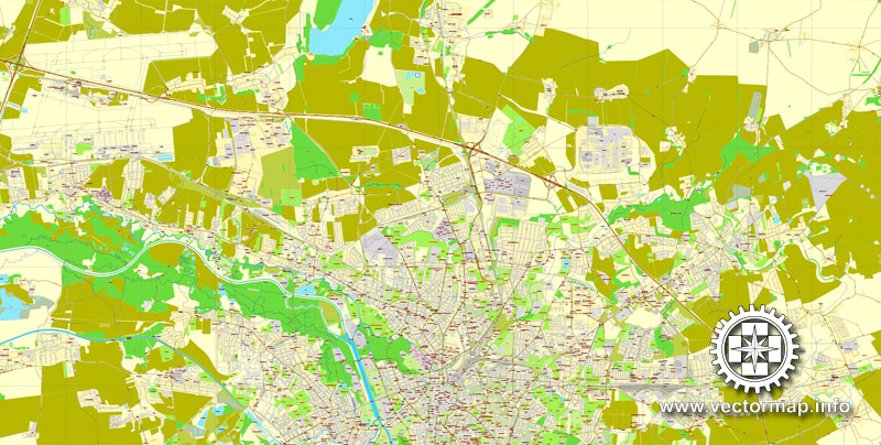
One of the advantages of Leipzig vector maps of our production is the relevance of cartographic data, we constantly update all our products.
This vector map of Leipzig is used by:
designers, layout designers, printers, advertisers and architects. Our product – vector maps – is designed for further editing and printing in large formats – from @Wall format (a few meters) to A-0 and A-1, A-2, A-3.
Leipzig map in vector format is used for design, urban planning, presentations and media visualizations.
Advertising and presentation map of Leipzig (usually the final designer marks the routes, and puts the client’s objects (shops, saloons, gas stations etc.)
The undoubted advantage is that people will NEVER throw out this advertising product – the map. In fact, as an advertising medium, a map is the most “long-playing” of the well-known polygraphic advertising media, with the longest lifespan, and the maximum number of interactions with the customer.
For travelers, maps are sold at the airports and gas stations around the world. Often the source is our vector maps.
Take a look, who purchases our vector maps of Leipzig in “Our Clients and Friends” page – these are large and small companies, from super-brands like Volvo and Starbucks, to small design studios and printing houses.
It’s very easy to work with vector maps of Leipzig, even for a not very experienced designer who can turn on and off the map layers, add new objects, change the colors of fill and lines according to customer requirements.
The undoubted advantage of Leipzig vector maps in printing is an excellent and detailed visualization, when customer can expand a large paper map and instantly define his location, find a landmark, an object or address on map, unlike using the popular electronic formats of Google and Yandex maps for example.
Printable vector maps of Leipzig are much more convenient and efficient than any electronic maps on your smartphone, because ALL DETAILS are displayed in the entire space of Leipzig map.
Useful tips on working with vector maps of cities and countries in Adobe Illustrator.
«V» – launches the Selection tool (cursor, black arrow), which makes active any vector line.
«А» – launches the Direct Selection tool (white cursor), allows you to select curve elements and drag them to the desired place.
«R» – activates the Rotate tool, which helps you rotating selected objects around the center point by 360 degrees.
«E» – gives you the opportunity to use the Eraser tool and erase unnecessary parts.
«X» – switches between Fill and Stroke in the Tools section. Try to get used to this hot key and
you will quickly understand that you can’t live and work without it.
Guides are not limited to vertical and horizontal in Adobe Illustrator. You can also create a diagonal guide for example. Moreover, you can turn any contours into guides. Select the outline and go to View > Guides > Make Guides (Create Guides), or simply press Cmd/Ctrl + 5. You can also turn the guides back into an editable object. Go to menu, View > Guides > Unlock Guides (Release Guides), select the guide you want to edit and select View > Guides > Release Guides (Reset Guides), or just press Cmd/Ctrl + Option / Alt + 5).
You will probably want to change the color scheme used on our Leipzig vector map.
To quickly and effectively play with colors.
Of course, you can do it manually, all objects in our Leipzig vector map are divided according to types and layers, and you can easily change the color gamma of vector objects in groups and layers.
But there is more effective way of working with the whole VECTOR MAP of Leipzig and all layers:
The overview dialog «Edit colors»/«Repaint Graphic Object» (this dialog box name can change depending on the context):
If you have selected a part or a layer of Leipzig vector map and open the dialog box by clicking the icon in the Control panel, on the Samples palette or the Color Catalog, or if you choose Edit > Edit Colors> Repaint Graphic Object, then the «Repaint Graphic Object» dialog box appears, and you get access to «Assign» and «Edit» tabs.
If a picture or a map fragment is not selected, and you open the dialog box by clicking the icon in the Control panel, on the Samples palette or in the Color Catalog, the «Edit Colors» dialog box appears and you can only access the «Edit» tab.
Regardless of the name at the top of the dialog box, the right-hand side always displays the color group of the current document, as well as two default color groups: Print Color and Grayscale. These color groups can be selected and used any time.
Leipzig has been a trade city since at least the time of the Holy Roman Empire. The city sits at the intersection of the Via Regia and the Via Imperii, two important medieval trade routes. Leipzig was once one of the major European centres of learning and culture in fields such as music and publishing. Leipzig became a major urban centre within the German Democratic Republic (East Germany) after the Second World War, but its cultural and economic importance declined.
Create and edit color groups of Leipzig vector map, and also assign colors using the «Edit Colors»/ а «Repaint Graphic Object» dialog box.
A. Creating and editing of a color group on the «Edit» tab
B. Assigning colors on the «Assign» tab
C. Select a group of colors from the «Color groups» list
The option «Repaint a graphic object» in the lower part of the dialog box allows you to preview the colors on a selected layer of Vector map, or a group of elements, and specify whether its colors will be redefined when the dialog box is closed.
The main areas of the dialog box are:
«Edit»
The «Edit» tab is designed to create a new or edit the existing color groups.
The harmony rules Menu and the Color Wheel are used to conduct experiments with color harmonies. The color wheel shows how colors are related in color harmony, and the color bars allow you to view and manipulate an individual color values. In addition, you can adjust the brightness, add and remove colors, save color groups and view colors on the selected Vector Map of Leipzig or a separated layers.
«Assign»
The «Assign» tab is used to view and control on how the original colors are replaced with colors from the color group like your corporate colors in the Vector Map of Leipzig.
The assign color ability is provided only if the entire map, layer or fragment is selected in the document. You can specify which of new colors replace the current colors, whether the spot colors should be preserved and how colors are replaced (for example, you can replace colors completely or changing the color tone while maintaining the brightness). The «Assign» tab allows you to redefine colors in the Vector Map of Leipzig, or in separate layers and fragments using the current color group or reducing the number of colors in the current Vector Map.
Color groups
Is a list of all saved color groups for current document (the same groups appear in the «Samples» palette). You can edit and delete the existing color groups, as well as creating a new ones using the list of “Color Groups” in the dialog box. All changes appear in the «Samples» palette.
The highlighted color group shows, which color group is currently edited.
Any color group can be selected and edited, or used to redefine the colors in the selected vector map of Leipzig, its fragments or elements.
Saving a color group adds this group to the specified list.
Opening the «Edit Colors»/«Repaint Graphic Object» dialog box.
Open the «Edit Colors»/«Repaint Graphic Object» dialog box using one of the following methods:
«Edit»> «Edit Colors»> «Repaint Graphic object» or «Repaint With Style».
Use these commands if you need to edit the colors in the selected vector map of Leipzig.
«Repaint Graphic object» button on the «Control» panel.
Use this button if you need to adjust colors of Leipzig vector map using the а «Repaint graphic object» dialog box.
The specified button is available if the selected vector map or its fragment contains two or more colors.
Events in Leipzig in 1989 played a significant role in precipitating the fall of communism in Central and Eastern Europe, mainly through demonstrations starting from St. Nicholas Church. Since the reunification of Germany, Leipzig has undergone significant change with the restoration of some historical buildings, the demolition of others, and the development of a modern transport infrastructure. Leipzig today is an economic centre, the most livable city in Germany, according to the GfK marketing research institution and has the second-best future prospects of all cities in Germany, according to HWWI and Berenberg Bank. Leipzig Zoo is one of the most modern zoos in Europe and ranks first in Germany and second in Europe according to Anthony Sheridan. Since the opening of the Leipzig City Tunnel in 2013, Leipzig forms the centrepiece of the S-Bahn Mitteldeutschland public transit system. Leipzig is currently listed as a Gamma World City, Germany’s “Boomtown” and as the European City of the Year 2019.
Note. This color editing method is convenient for global color adjustment in a vector map, if global colors were not used when creating a Map of Leipzig.
The «Edit colors» button or «Edit or apply colors» on the «Color Catalog» palette
Click this button if you need to edit colors on the «Color Catalog» palette or edit and then apply them to the selected Vector Map of Leipzig or its fragment.
The «Edit color group» button or «Edit or apply color group» on the «Samples» palette.
Click this button if you need to edit the colors in the specific color group or edit and apply them to the selected Vector Map of Leipzig or a group of its elements, for example, the whole layer “Streets and lines”. You can also double-click the color group in the Samples panel to open the dialog box.
If the map file is too large and your computer freezes or even can’t open it quickly:
1. Try to reduce the color resolution of the video card (display) to 256 colors while working with a large map.
2. Using Windows Task Manager, select all the application you don’t need, while working with map, just turn them off.
3. Launch Adobe Illustrator. (DO NOT OPEN the vector map file)
4. Start the Windows Task Manager using administrator rights > Find the “Illustrator” process > set the «real time» priority,
5. Open the file. When you see the LEGACY FONT popup window – click “OK” (do not update). You can restore the TEXT later.
6. Can also be useful: When file is opened – Edit > Settings > Basic Settings > disable smoothing. /// It looks scary, but works quickly)))
We recommend saving the file in Adobe Illustrator 10 version. It’s much more stable when working with VERY BIG size files.
Oper Leipzig has become one of the most prominent opera houses in Germany. It was founded in 1693, making it the third oldest opera venue in Europe after La Fenice (Venice, Italy) and the Hamburg State Opera (Hamburg, Germany). Leipzig is also home to the University of Music and Theatre “Felix Mendelssohn Bartholdy”. It was during a stay in this city that Friedrich Schiller wrote his poem “Ode to Joy”. The Leipzig Gewandhaus Orchestra, established in 1743, is one of the oldest symphony orchestras in the world.
Location
Leipzig lies at the confluence of the rivers White Elster, Pleisse and Parthe, in the Leipzig Bay, on the most southerly part of the North German Plain, which is the part of the North European Plain in Germany. The site is characterized by swampy areas such as the Leipzig Riverside Forest, though there are also some limestone areas to the north of the city. The landscape is mostly flat though there is also some evidence of moraine and drumlins.
Although there are some forest parks within the city limits, the area surrounding Leipzig is relatively unforested. During the 20th century, there were several open-cast mines in the region, many of which are being converted to use as lakes.
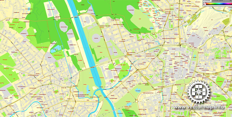
Leipzig is also situated at the intersection of the ancient roads known as the Via Regia (King’s highway), which traversed Germany in an east-west direction, and the Via Imperii (Imperial Highway), a north-south road.
Leipzig was a walled city in the Middle Ages and the current “ring” road around the historic centre of the city follows the line of the old city walls.
Subdivision
Leipzig is the largest city in the federal state of Saxony, Germany. With its population of 570,479 inhabitants (1,001,220 residents in the larger urban zone) Leipzig, one of Germany’s top 10 cities by population, is located about 160 kilometers (99 miles) southwest of Berlin at the confluence of the White Elster, Pleisse, and Parthe rivers at the southern end of the North German Plain.
Leipzig has been a trade city since at least the time of the Holy Roman Empire. The city sits at the intersection of the Via Regia and Via Imperii, two important Medieval trade routes. Leipzig was once one of the major European centers of learning and culture in fields such as music and publishing. Leipzig became a major urban center within the German Democratic Republic (East Germany) after World War II, but its cultural and economic importance declined despite East Germany being the richest economy in the Soviet Bloc.
Leipzig later played a significant role in instigating the fall of communism in Eastern Europe, through events which took place in and around St. Nicholas Church. Since the reunification of Germany, Leipzig has undergone significant change with the restoration of some historical buildings, the demolition of others, and the development of a modern transport infrastructure. Leipzig today is an economic center and the most livable city in Germany, according to the GfK marketing research institution. Oper Leipzig is one of the most prominent opera houses in Germany, and Leipzig Zoological Garden is one of the most modern zoos in Europe and ranks first in Germany and second in Europe according to Anthony Sheridan. Leipzig is currently listed as Gamma World City and Germany’s “Boomtown”. Outside of Leipzig the Neuseenland district forms a huge lake area by approx 116 square miles (300 square kilometres).
Small guide: How to work with the vector map?
You can: Mass select objects by type and color – for example, the objects type “building” (they are usually dark gray) – and remove them from the map, if you do not need them in your print or design project. You can also easily change the thickness of lines (streets), just bulk selection the road by the line color.
The streets are separated by type, for example, type “residential road” are usually white with a gray stroke. Highway usually orange with a brown or dark gray stroke.
It is easy to change the font of inscriptions, all or each individually. Also, just can be make and any other manipulation of objects on the vector map in Adobe illustrator format.
Important: All the proportions on the map are true, that is, the relative sizes of the objects are true, because Map is based on an accurate GPS projection, and It transated into the (usual for all) the Mercator projection.
You can easily change the color, stroke and fill of any object on the map, zoom without loss of quality Image Verification.
Select object

Bulk selection the same objects on the vector map

See the bulk selected objects on the vector map

Bulk delete buildungs from the vector map

Select residencial road (small street) on the vector map

Bulk selection the same lines (streets, roads) on the full map

Create fat lines of the streets on the vector maps (bulk action) 1

Create fat lines of the streets on the vector maps (bulk action) 2

Create fat lines of the streets on the vector maps (bulk action) 3

You can easily change the color, stroke and fill of any object on the map, zoom without loss of quality Image Verification.

 Author: Kirill Shrayber, Ph.D. FRGS

