Extended Description of the Vector Map
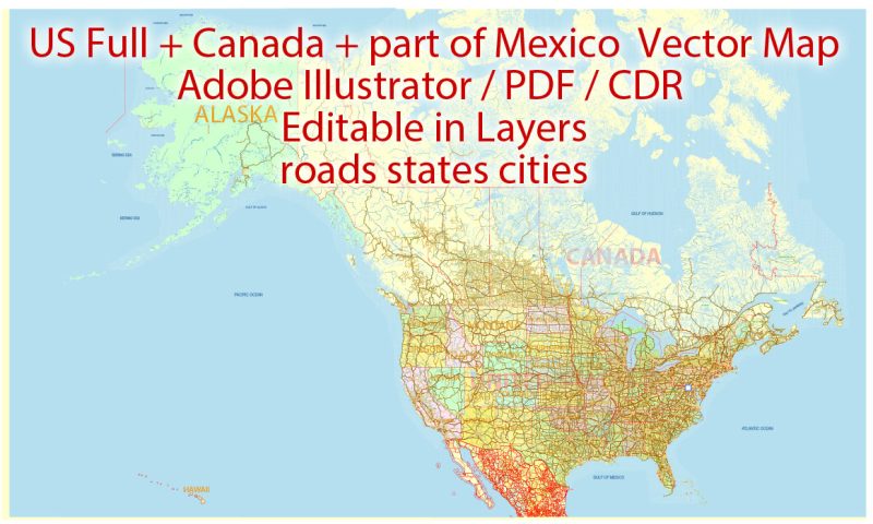
Printable Vector Map US Canada part of Mexico all Roads, Cities, States, all names, V.9. fully editable in layers, Adobe Illustrator, scalable, editable text format of all names, 94 Mb ZIP.
Layered exact editable map. Map for publishing, design, printing, publications, arts, projects, presentations, for architects, designers, and builders, business, logistics. The most exact and detailed map. GPS correct Mercator Projection.
Separated layers: roads by categories, urban areas cities > 50.000 population, states, borders, color_fills, waterways with names, etc.
For printing any format.
DWG, DXF, CDR, ESRI Shapes, and other formats – by request, the same price, please contact.
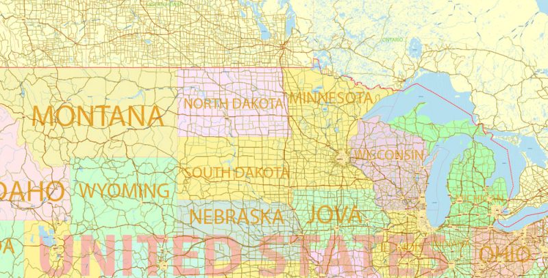
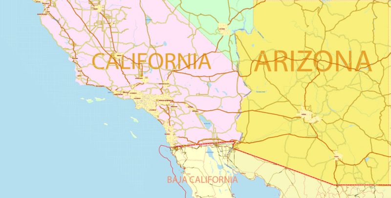
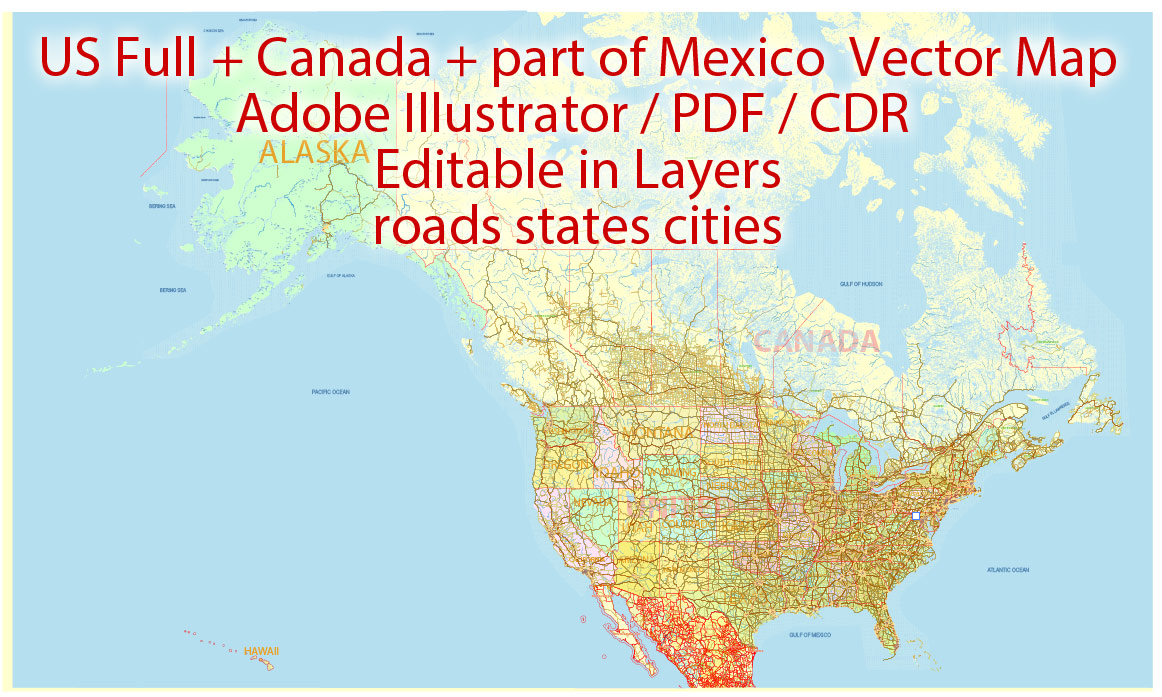
US Canada part of Mexico Vector Map 01 02 all Roads Cities States V.9. editable layered Adobe Illustrator
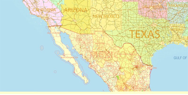
US Canada part of Mexico Vector Map 01 02 all Roads Cities States V.9. editable layered Adobe Illustrator
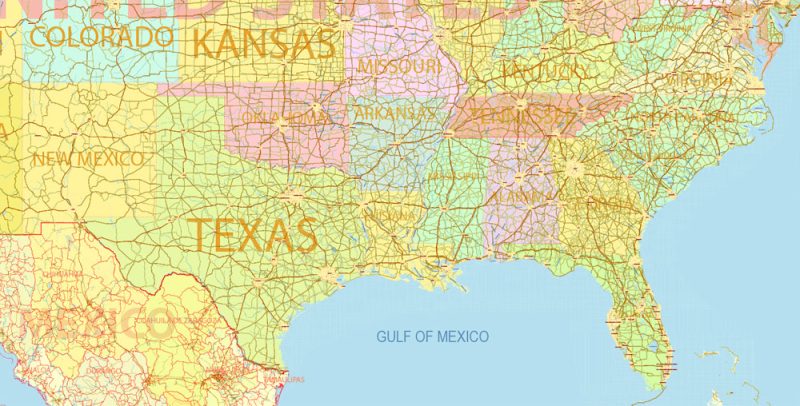
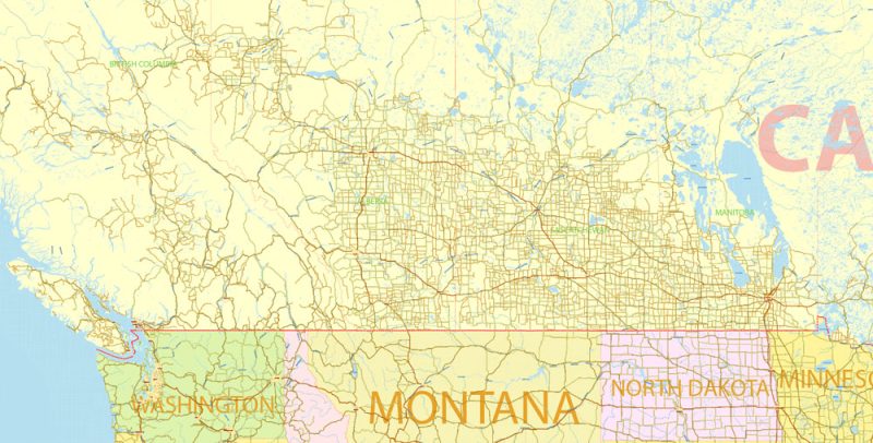
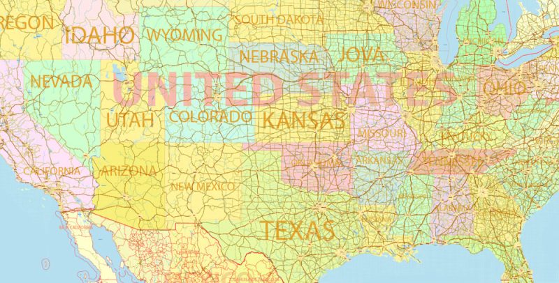
US Canada part of Mexico Vector Map 01 02 all Roads Cities States V.9. editable layered Adobe Illustrator
US Canada part of Mexico Vector Map 01 02 all Roads Cities States V.9. editable layered Adobe Illustrator
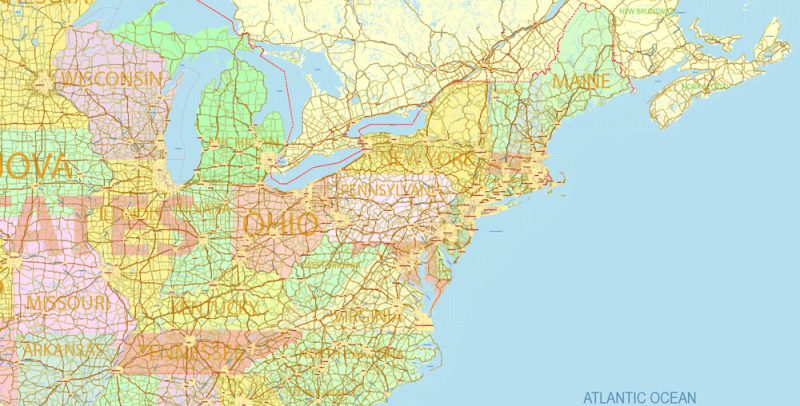
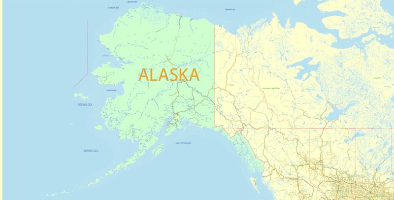
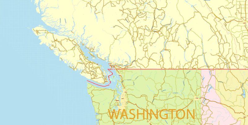
US Canada part of Mexico Vector Map 01 02 all Roads Cities States V.9. editable layered Adobe Illustrator
US Canada part of Mexico Vector Map 01 02 all Roads Cities States V.9. editable layered Adobe Illustrator
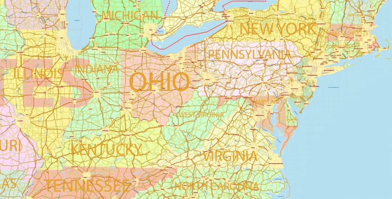
US Canada part of Mexico Vector Map 01 02 all Roads Cities States V.9. editable layered Adobe Illustrator
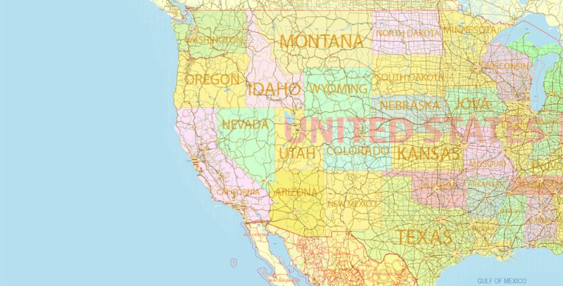
US Canada part of Mexico Vector Map 01 02 all Roads Cities States V.9. editable layered Adobe Illustrator

US Canada part of Mexico Vector Map 01 02 all Roads Cities States V.9. editable layered Adobe Illustrator
US Canada part of Mexico Vector Map 01 02 all Roads Cities States V.9. editable layered Adobe Illustrator
US Canada part of Mexico Vector Map 01 02 all Roads Cities States V.9. editable layered Adobe Illustrator
US Canada part of Mexico Vector Map 01 02 all Roads Cities States V.9. editable layered Adobe Illustrator
US Canada part of Mexico Vector Map 01 02 all Roads Cities States V.9. editable layered Adobe Illustrator
Author Rating
Aggregate Rating
5 based on 1 votes
@vectormapper
Product Name US Canada part of Mexico Vector Map 01 02 all Roads Cities States V.9. editable layered Adobe Illustrator
Price
USD 83
Product Availability
Available in Stock


 Author: Kirill Shrayber, Ph.D. FRGS

