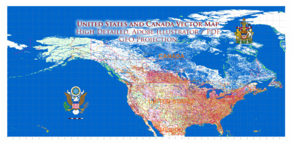
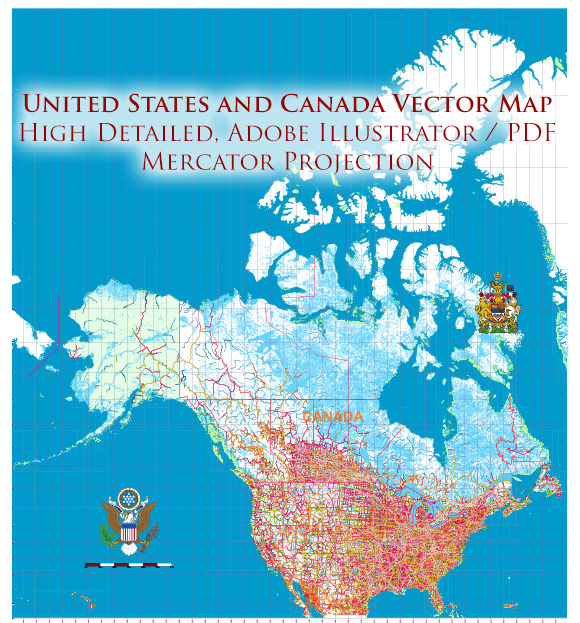
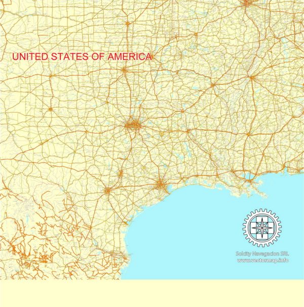
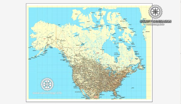
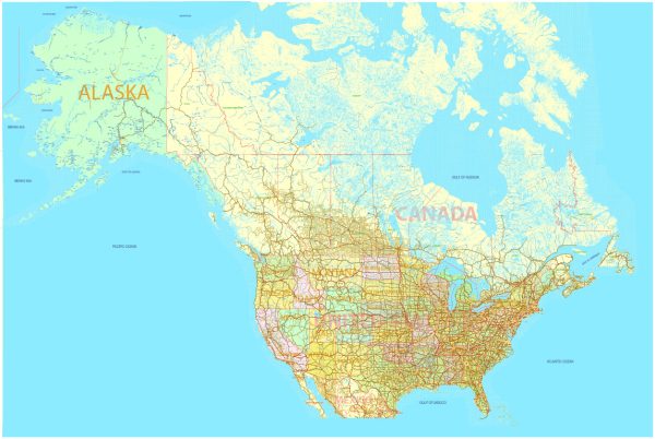
United States + Canada Country vector map 01 02 in Adobe Illustrator with roads 35 parts Atlas Mercator Projection$ 18.00
United States + Canada printable vector Counrty Road map 01 02 GPS correct Mercator Projection editable Adobe Illustrator$ 29.00
United States and Canada PDF Map all Roads, Cities, States, all names, exact vector map 01 02 editable, Adobe PDF$ 58.00
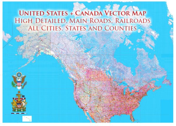
United States and Canada PDF Vector Map: Main Roads Cities States Counties editable layered Adobe PDF$ 59.00
United States and Canada Printable Map 01 02 with all Roads, Cities, States, all names, exact vector map, V.7. fully editable, Adobe Illustrator$ 58.00
United States and Canada Vector Map Main Roads Cities States Counties editable layered Adobe Illustrator$ 59.00
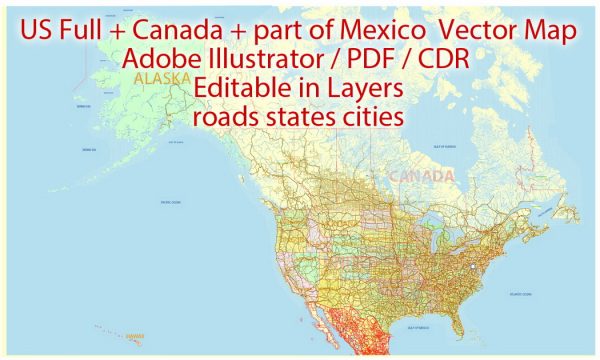
United States Canada part of Mexico Vector Map 01 02 all Roads Cities States V.9. editable layered Adobe Illustrator$ 53.00