Extended Description of the Vector Map
Printable PDF Vector Map of Ukraine-Russia par area USSR 1980 Military / KGB edition detailed fully editable Adobe PDF Street Map in layers, scalable, text / curves format all names in Russian, 18 MB ZIP
City names, water names. Map for design, printing, arts, projects, presentations, for architects, designers, and builders, business, logistics.
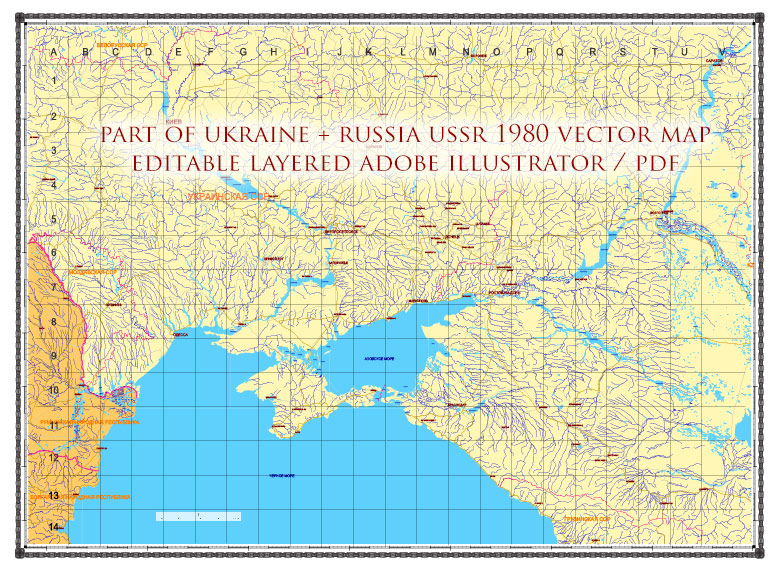
Ukraine-Russia part area USSR 1980 PDf vector map military edition (RUSSIAN NAMES) editable layered Adobe PDF
Layers list:
- Grids
- Names of places
- Points places
- Names water objects
- Main Streets, roads
- Boundaries
- Boundaries 2
- Railroads
- Waterways
- Water objects (rivers, lakes, ponds)
- Background
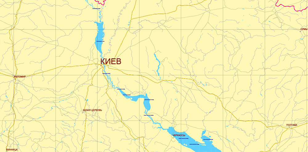
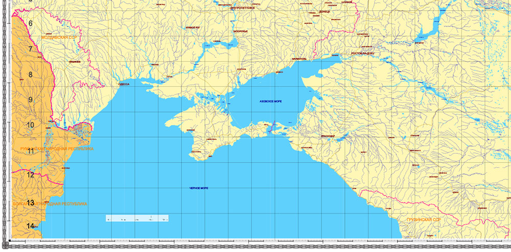
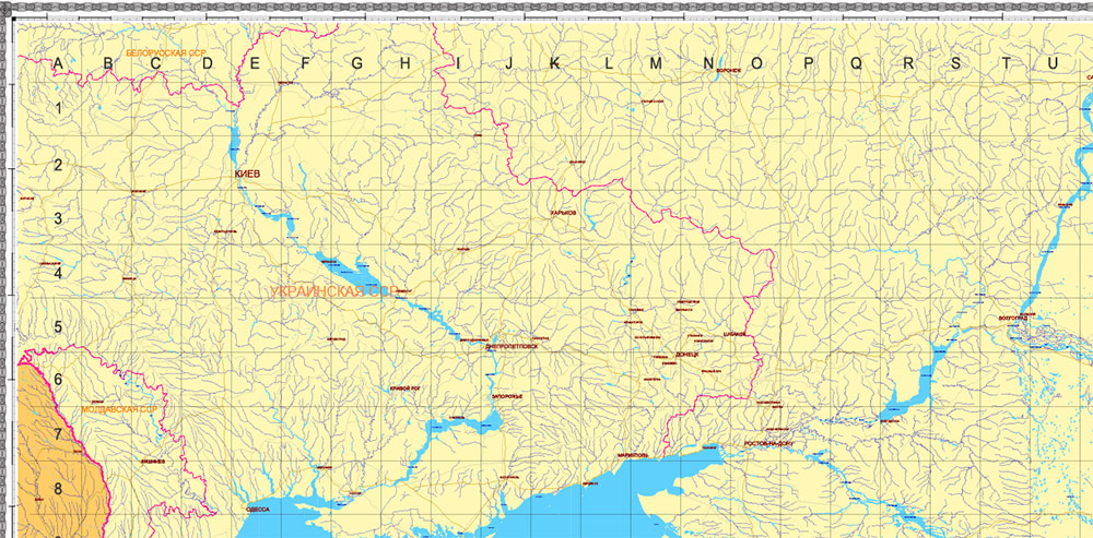
Exact and detailed map of the region in scale.
For Editing and High-Quality Printing
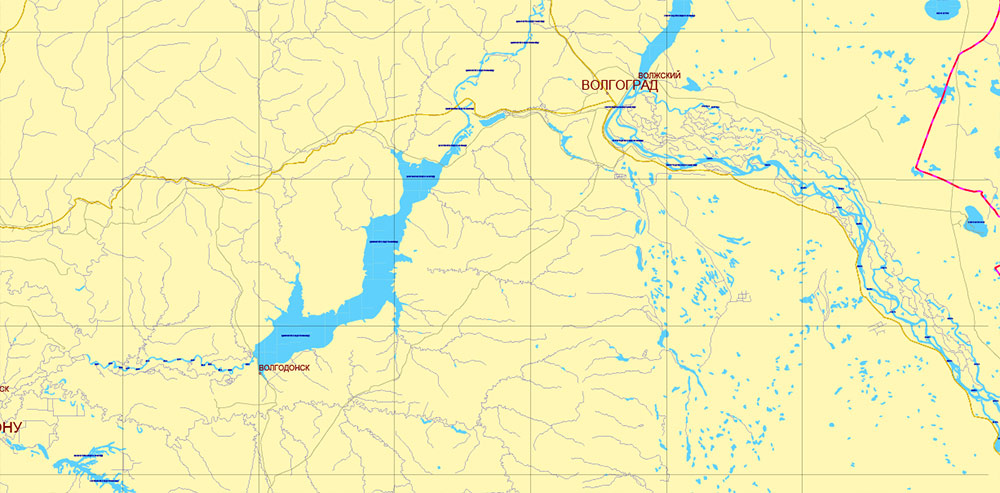
Ukraine-Russia part area USSR 1980 PDf vector map military edition (RUSSIAN NAMES) editable layered Adobe PDF
Ukraine-Russia part area USSR 1980 PDf vector map military edition (RUSSIAN NAMES) editable layered Adobe PDF
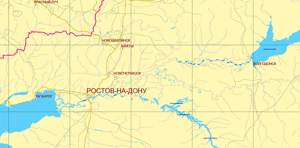
Ukraine-Russia part area USSR 1980 PDf vector map military edition (RUSSIAN NAMES) editable layered Adobe PDF
Ukraine-Russia part area USSR 1980 PDf vector map military edition (RUSSIAN NAMES) editable layered Adobe PDF
Ukraine-Russia part area USSR 1980 PDf vector map military edition (RUSSIAN NAMES) editable layered Adobe PDF
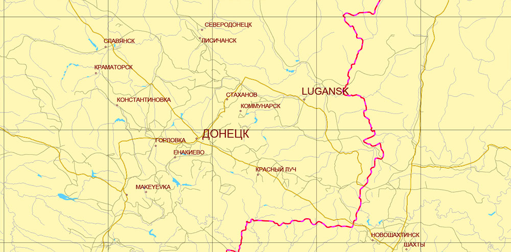
Ukraine-Russia part area USSR 1980 PDf vector map military edition (RUSSIAN NAMES) editable layered Adobe PDF
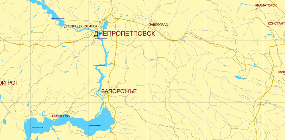
Ukraine-Russia part area USSR 1980 PDf vector map military edition (RUSSIAN NAMES) editable layered Adobe PDF

 Author: Kirill Shrayber, Ph.D. FRGS
 editable layered Adobe Illustrator")
 editable layered Adobe Illustrator")
