Extended Description of the Vector Map
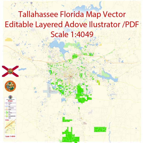
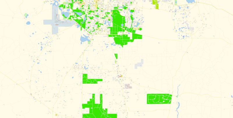
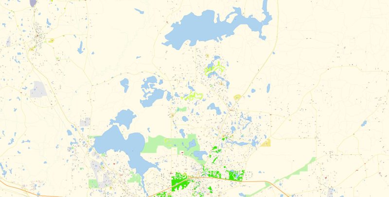
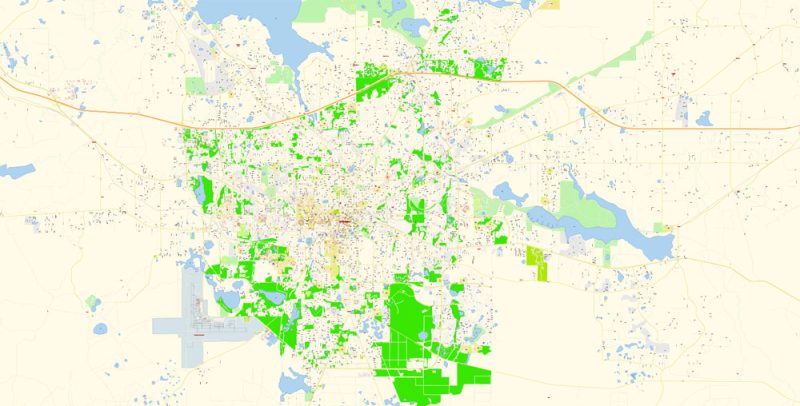
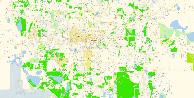
Printable Vector Map of Tallahassee Florida US detailed City Plan scale 1:4049 full editable Adobe Illustrator Street Map in layers , scalable, text format all names, 9 mb ZIP
All streets names, Main Objects, some Buildings. Map for design, printing, arts, projects, presentations, for architects, designers and builders, business, logistics.
Layers: color_fills, water, streets_roads, labels_roads, names_objects, names_streets, names_places, arrows_streets, buildings, grids, legend, etc.
The most exact and detailed map of the city in scale.
For Editing and High Quality Printing
DWG, DXF and other formats – on request, same price, please, contact
Tallahassee
City in Florida
Tallahassee is the state capital of Florida. The Capitol Complex includes the restored Historic Capitol, now a museum with displays on political history. The 1970s Capitol tower offers city views from its 22nd-floor observation deck. Nearby, exhibits at the Museum of Florida History cover European colonization, the Civil War and WWII. The city’s antebellum mansions include the 1843 Knott House Museum.
Elevation: 62 m
Population: 191,049
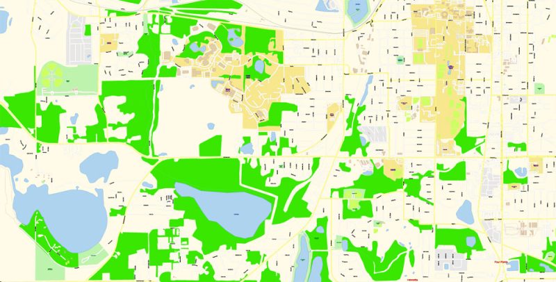
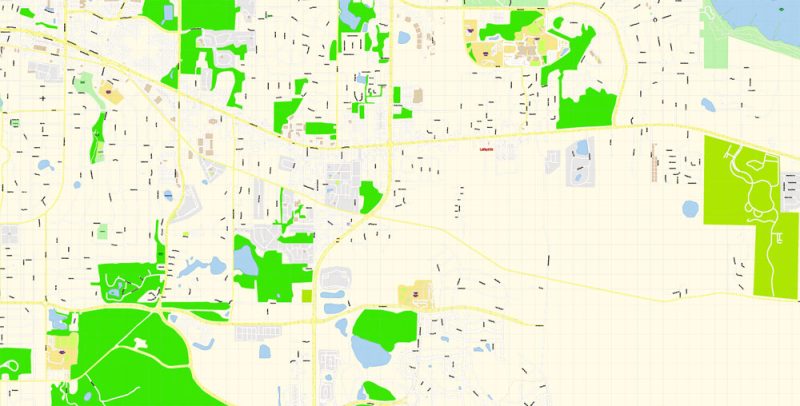
Tallahassee Map Vector Exact City Plan Florida US detailed Street Map editable Adobe Illustrator in layers
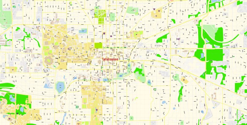
Tallahassee Map Vector Exact City Plan Florida US detailed Street Map editable Adobe Illustrator in layers
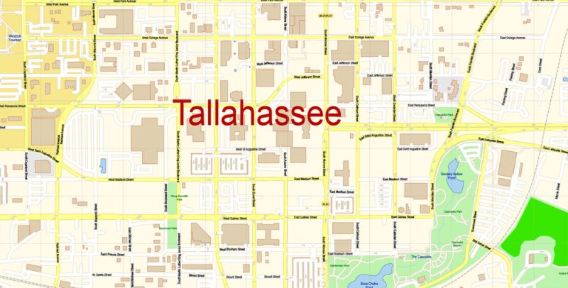
Tallahassee Map Vector Exact City Plan Florida US detailed Street Map editable Adobe Illustrator in layers
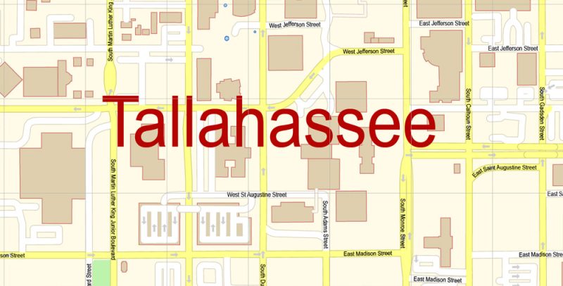
Tallahassee Map Vector Exact City Plan Florida US detailed Street Map editable Adobe Illustrator in layers
Tallahassee Map Vector Exact City Plan Florida US detailed Street Map editable Adobe Illustrator in layers
Tallahassee Map Vector Exact City Plan Florida US detailed Street Map editable Adobe Illustrator in layers
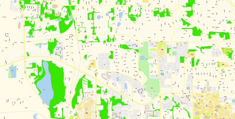
Tallahassee Map Vector Exact City Plan Florida US detailed Street Map editable Adobe Illustrator in layers
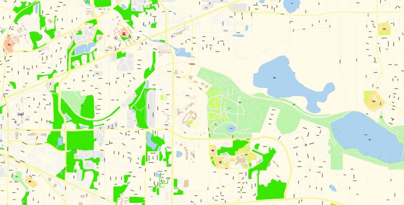
Tallahassee Map Vector Exact City Plan Florida US detailed Street Map editable Adobe Illustrator in layers
Tallahassee Map Vector Exact City Plan Florida US detailed Street Map editable Adobe Illustrator in layers
Tallahassee Map Vector Exact City Plan Florida US detailed Street Map editable Adobe Illustrator in layers
Tallahassee Map Vector Exact City Plan Florida US detailed Street Map editable Adobe Illustrator in layers
Tallahassee Map Vector Exact City Plan Florida US detailed Street Map editable Adobe Illustrator in layers


 Author: Kirill Shrayber, Ph.D. FRGS


