Extended Description of the Vector Map
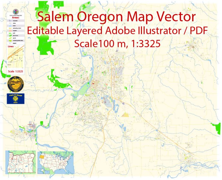
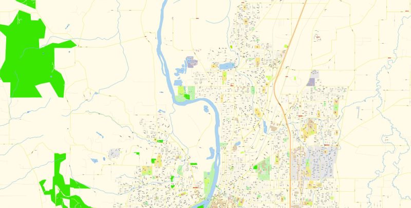
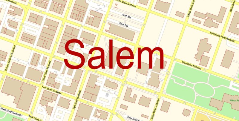
Printable PDF Vector Map of Salem Oregon US detailed City Plan scale 100 m 1:3325 full editable Adobe PDF Street Map in layers, scalable, text format all names, 29 MB ZIP
All street names, Main Objects, Principal Buildings. Map for design, printing, arts, projects, presentations, for architects, designers, and builders, business, logistics.
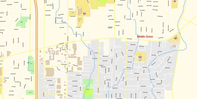
Layers: color_fills, water, streets_roads, labels_roads, names_objects, names_streets, names_places, arrows_streets, buildings, grids, legend, etc.
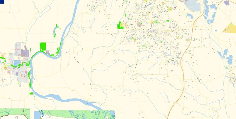
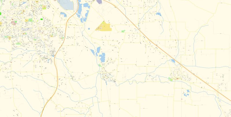
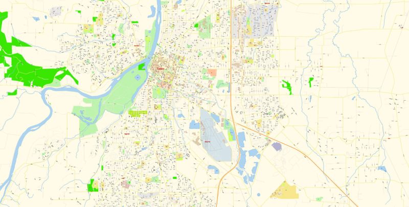
The most exact and detailed map of the city in scale.
For Editing and High-Quality Printing
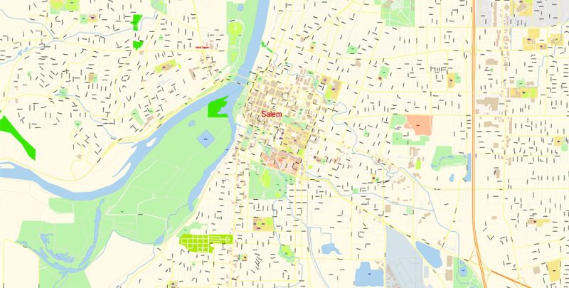
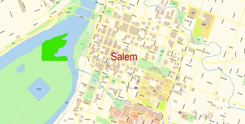
Salem
City in Oregon
Salem is the capital city of Oregon. Set amid a park with gardens, the domed Oregon State Capitol contains a collection of art by Oregon artists. The Hallie Ford Museum of Art includes works by Pacific Northwest and Native American artists. The Willamette Heritage Center includes a Victorian wool mill, plus 19th-century homes with period furnishings. The Bush House Museum is an Italianate mansion built in 1878.
Elevation: 47 m
Area: 125.5 km²
Population: 169,798
Salem Oregon PDF Map Vector Exact City Plan detailed Street Map Adobe PDF in layers
Salem Oregon PDF Map Vector Exact City Plan detailed Street Map Adobe PDF in layers
Salem Oregon PDF Map Vector Exact City Plan detailed Street Map Adobe PDF in layers
Salem Oregon PDF Map Vector Exact City Plan detailed Street Map Adobe PDF in layers
Salem Oregon PDF Map Vector Exact City Plan detailed Street Map Adobe PDF in layers
Salem Oregon PDF Map Vector Exact City Plan detailed Street Map Adobe PDF in layers
Salem Oregon PDF Map Vector Exact City Plan detailed Street Map Adobe PDF in layers
Salem Oregon PDF Map Vector Exact City Plan detailed Street Map Adobe PDF in layers
Salem Oregon PDF Map Vector Exact City Plan detailed Street Map Adobe PDF in layers
Author Rating
Aggregate Rating
no rating based on 0 votes
@vectormapper
Product Name Salem Oregon PDF Map Vector Exact City Plan detailed Street Map Adobe PDF in layers
Price
USD 39
Product Availability
Available in Stock


 Author: Kirill Shrayber, Ph.D. FRGS
