Extended Description of the Vector Map
Printable Vector Reading – Wokingham area UK, exact high detailed editable layered Adobe Illustrator scalable, editable, text format all names, 9 MB ZIP
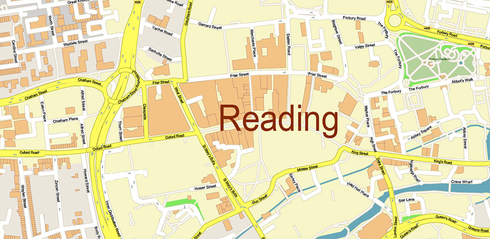
Names all streets, buildings
Map for design, printing, arts, projects, presentations, for architects, designers, and builders, business, logistics.
The most exact and detailed map of Reading – Wokingham area UK
Map for editing and High-Quality Printing
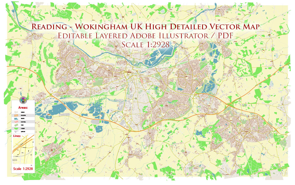
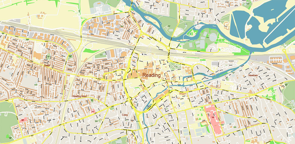
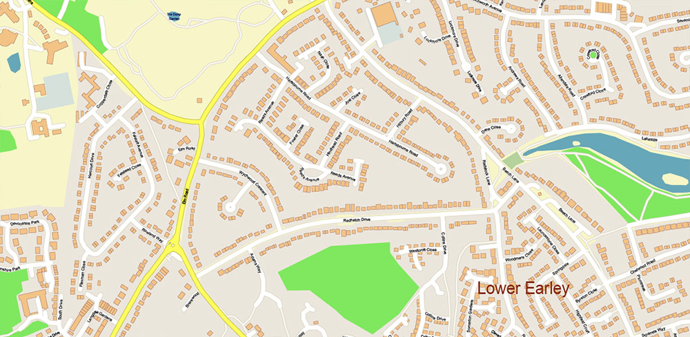
Reading – Wokingham UK Vector Map High Detailed editable layered Adobe Illustrator
Layers list:
- Legend
- Grids
- Labels of Roads
- Names Main Streets
- Names Residential streets
- Names Objects
- Names Places
- Arrows of the street directions
- Main Streets and Roads
- Residential roads and streets
- Buildings
- Railroads
- Landuse areas
- Water objects (areas)
- Waterways
- Background
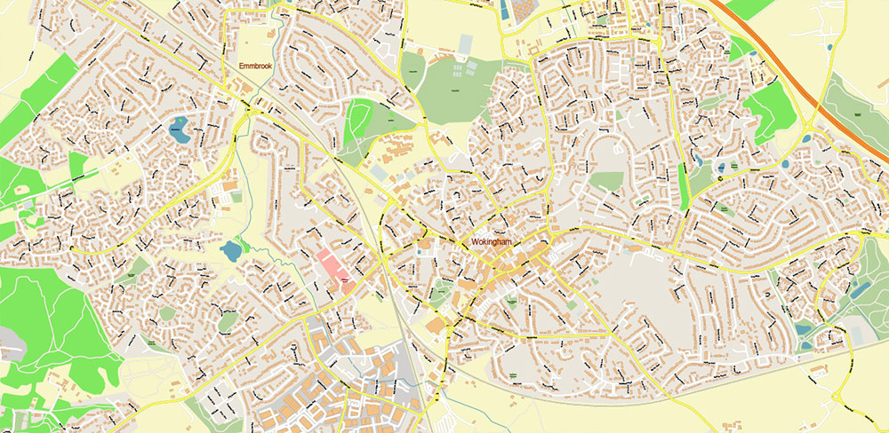
Reading – Wokingham UK Vector Map High Detailed editable layered Adobe Illustrator
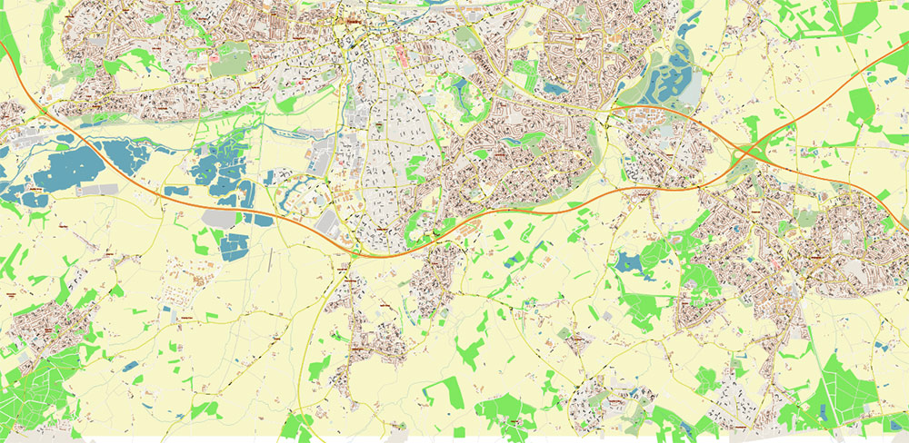
Reading – Wokingham UK Vector Map High Detailed editable layered Adobe Illustrator
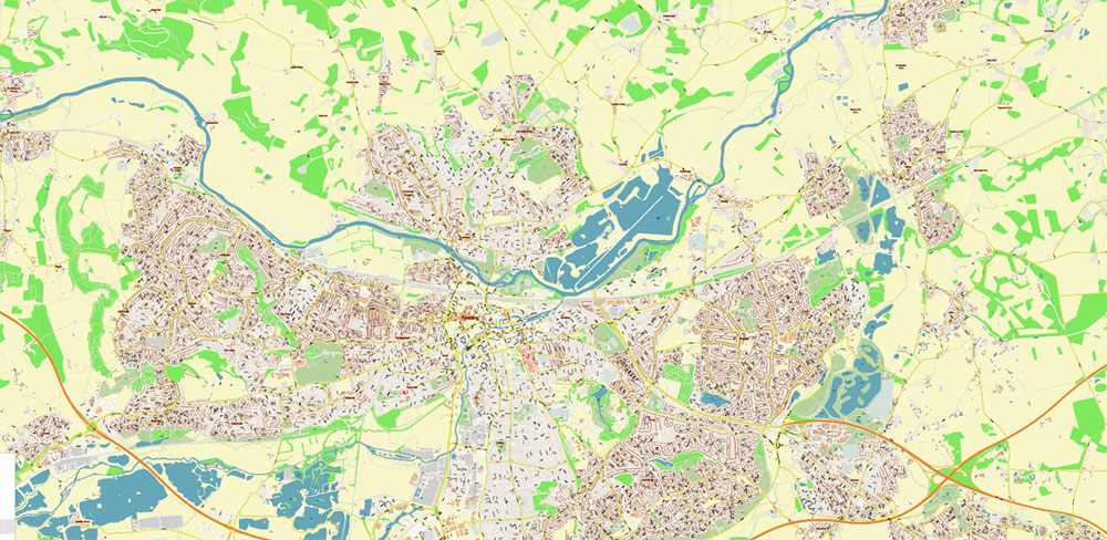
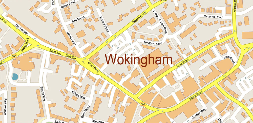
Reading – Wokingham UK Vector Map High Detailed editable layered Adobe Illustrator
Reading – Wokingham UK Vector Map High Detailed editable layered Adobe Illustrator
Reading – Wokingham UK Vector Map High Detailed editable layered Adobe Illustrator
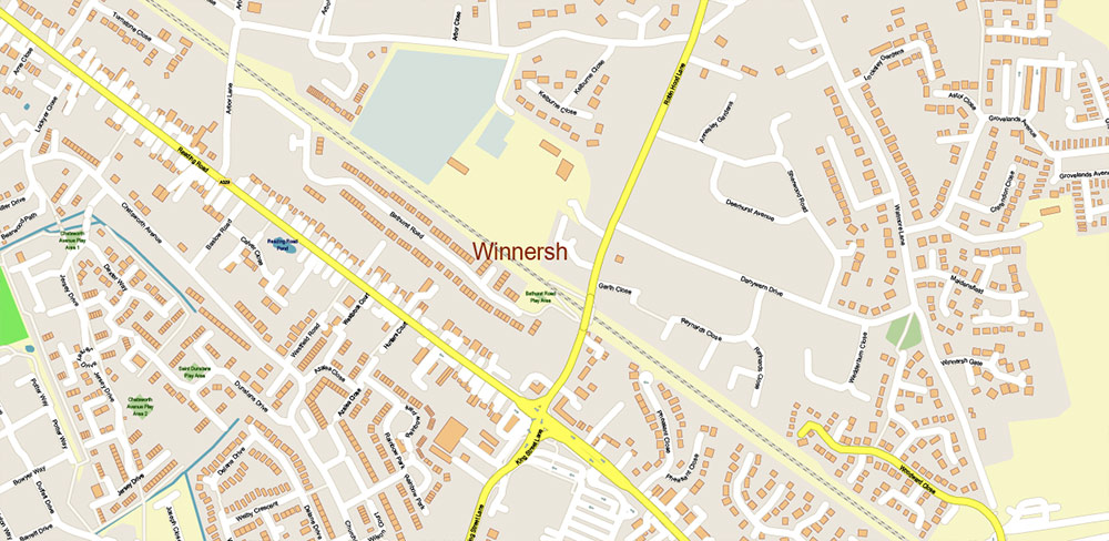
Reading – Wokingham UK Vector Map High Detailed editable layered Adobe Illustrator
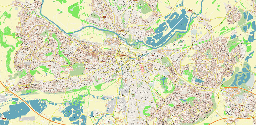
Reading – Wokingham UK Vector Map High Detailed editable layered Adobe Illustrator
Reading – Wokingham UK Vector Map High Detailed editable layered Adobe Illustrator
Reading – Wokingham UK Vector Map High Detailed editable layered Adobe Illustrator

 Author: Kirill Shrayber, Ph.D. FRGS