Extended Description of the Vector Map
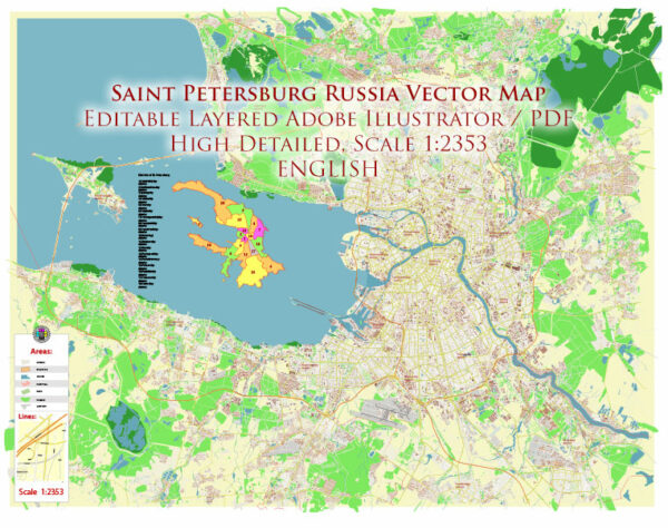
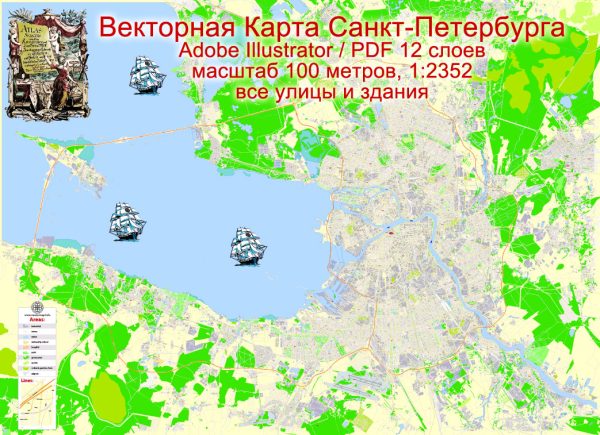
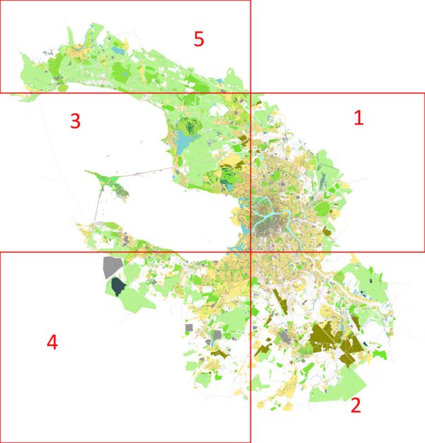
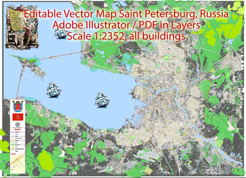
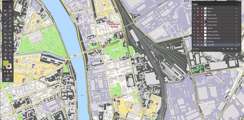
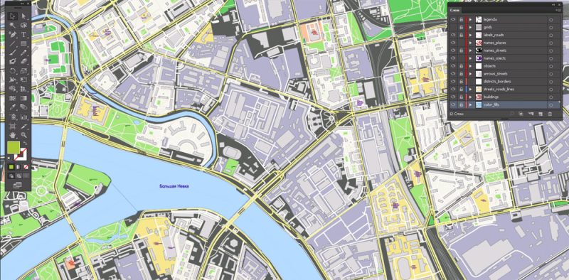
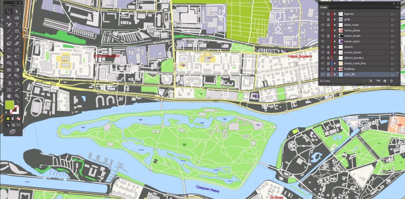
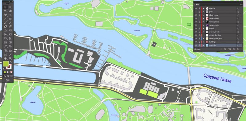
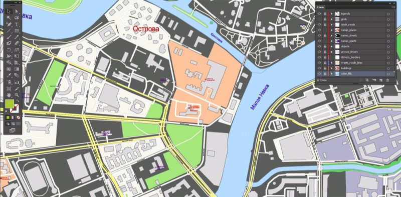
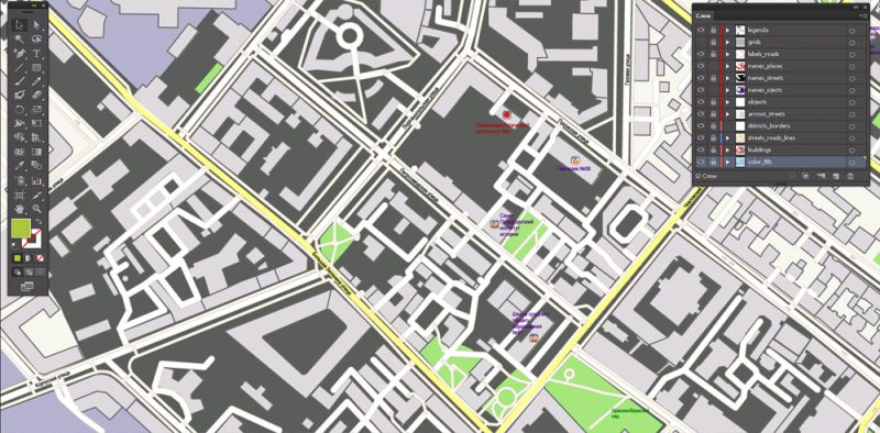
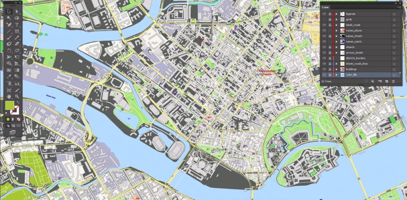
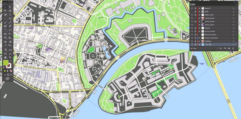
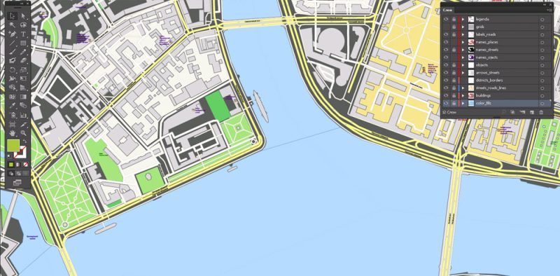
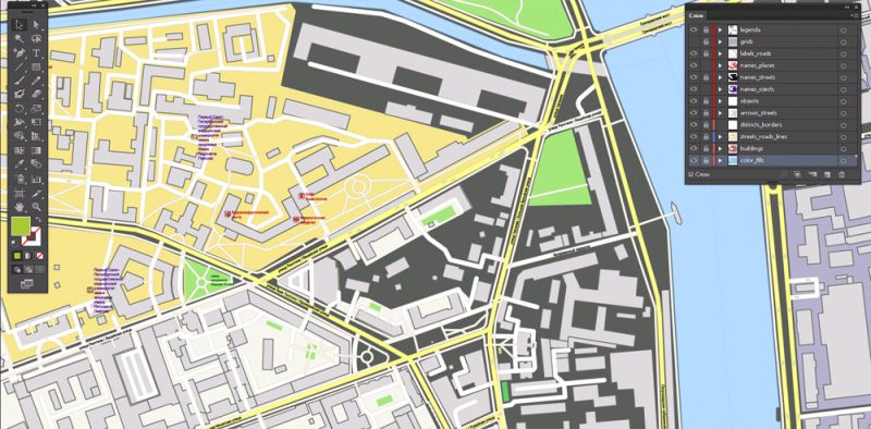
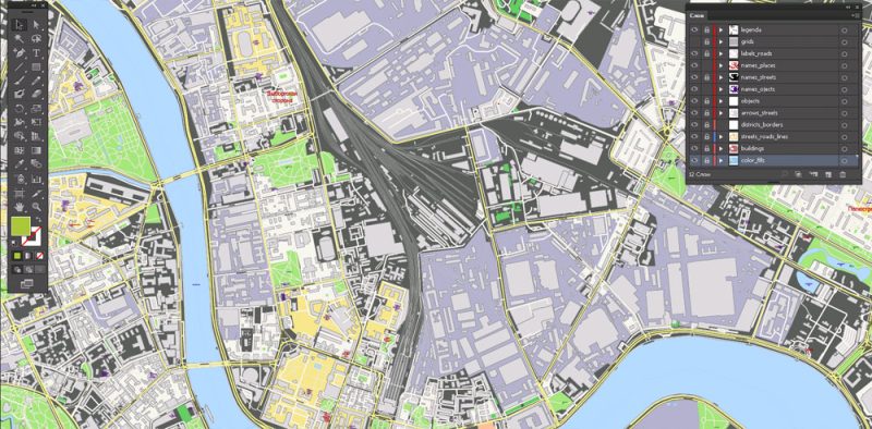
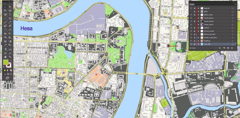
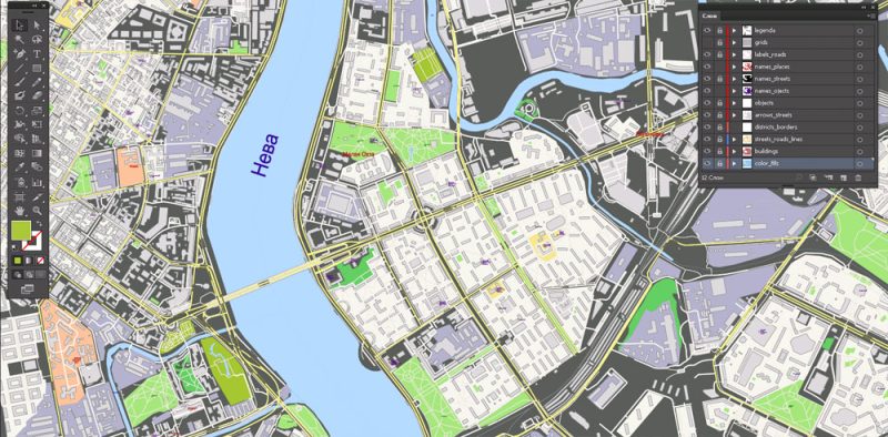
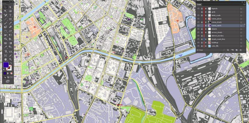
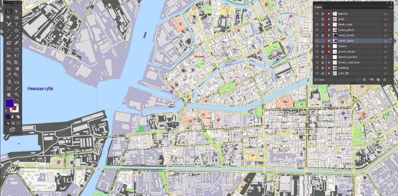
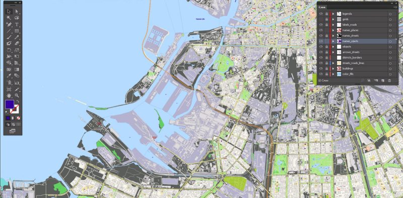
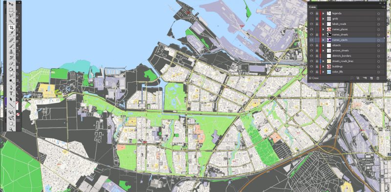
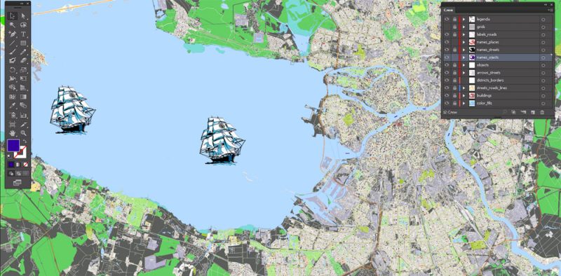
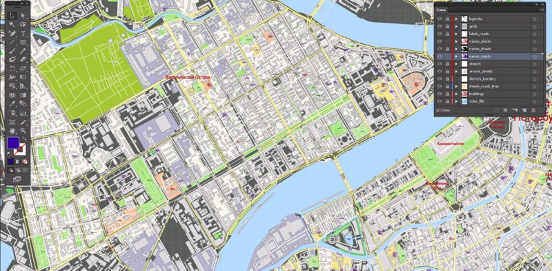
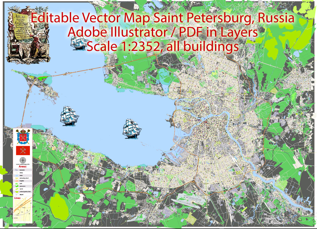
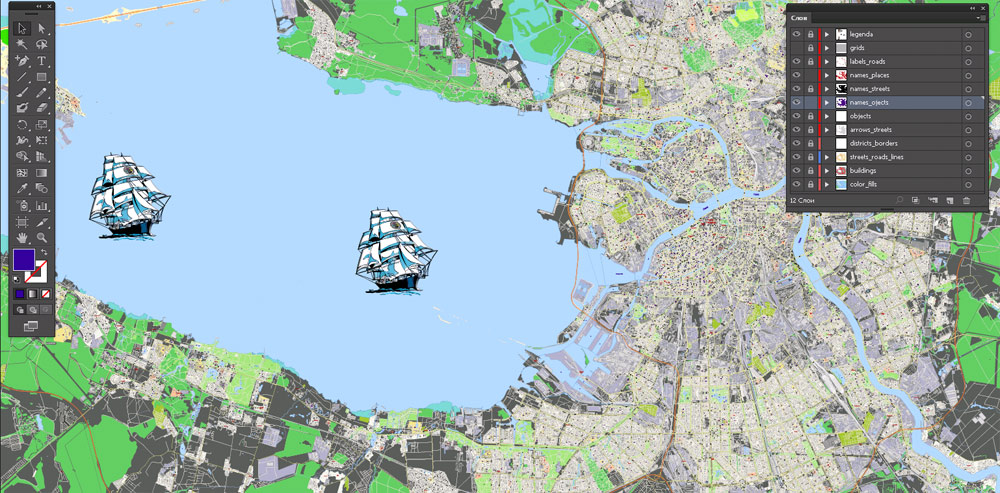
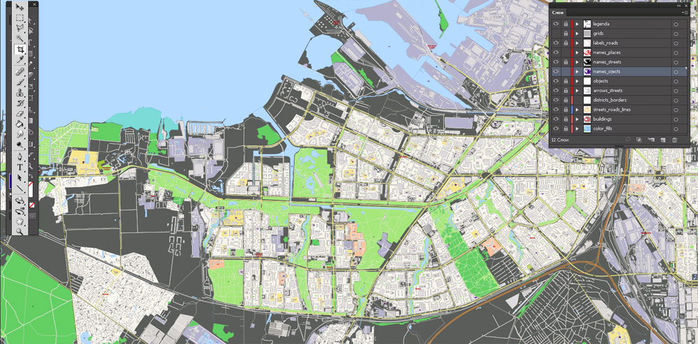
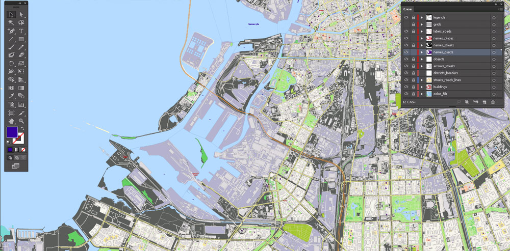
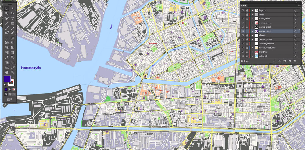
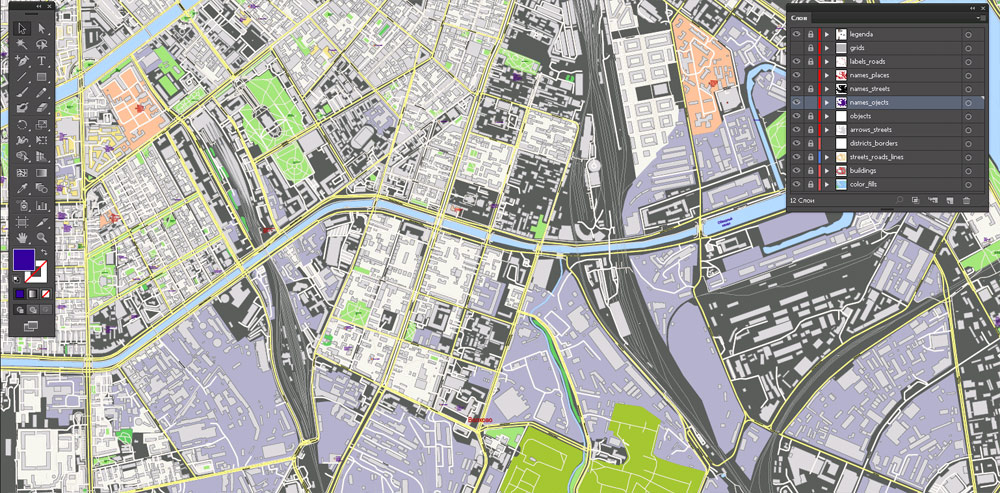
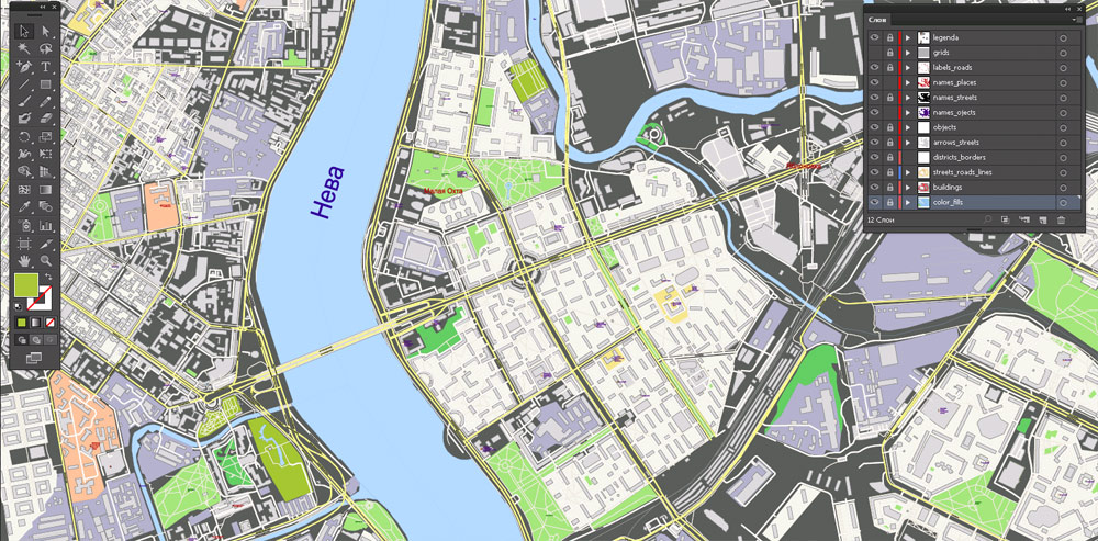
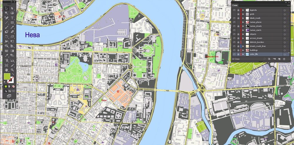
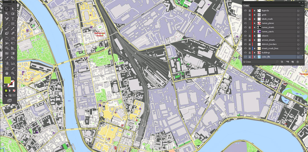
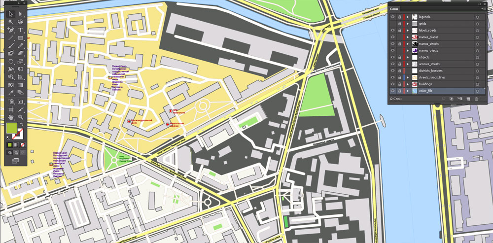
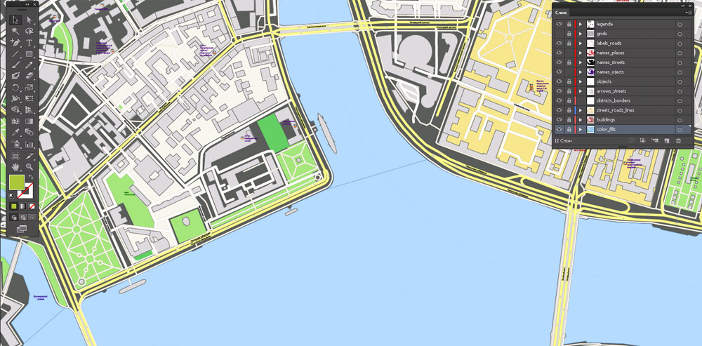
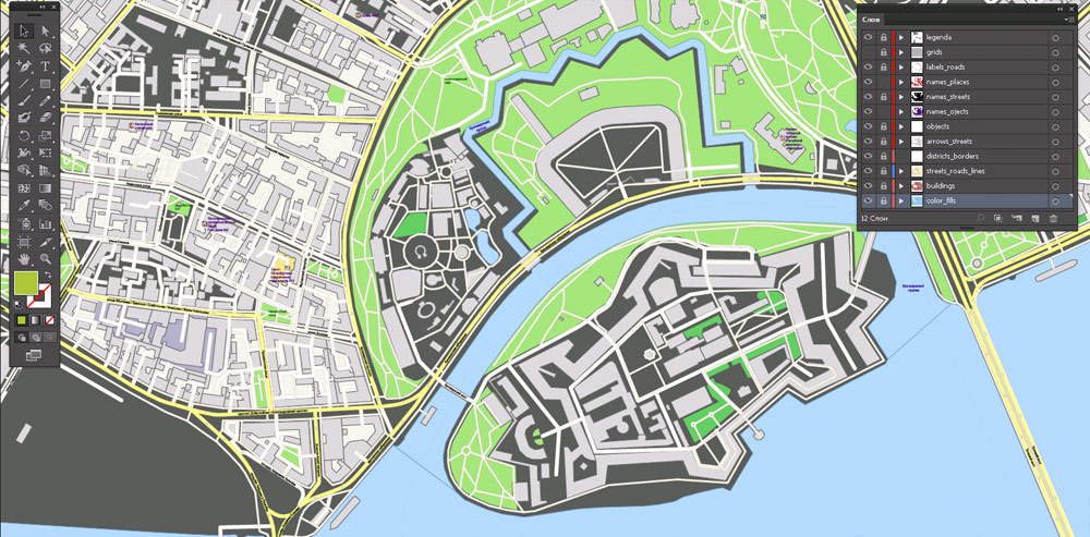
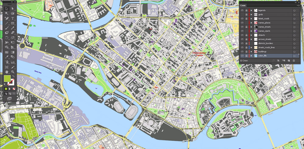
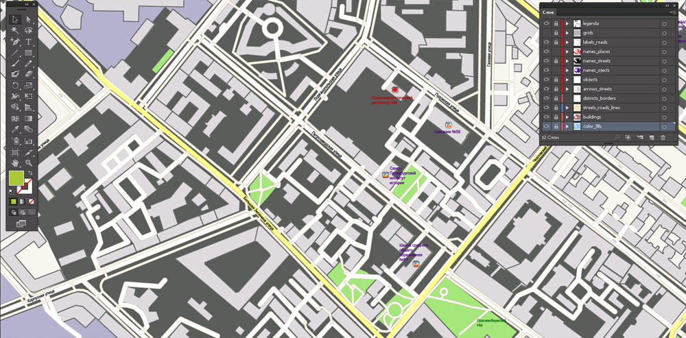
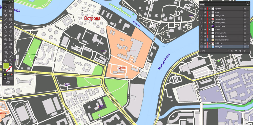
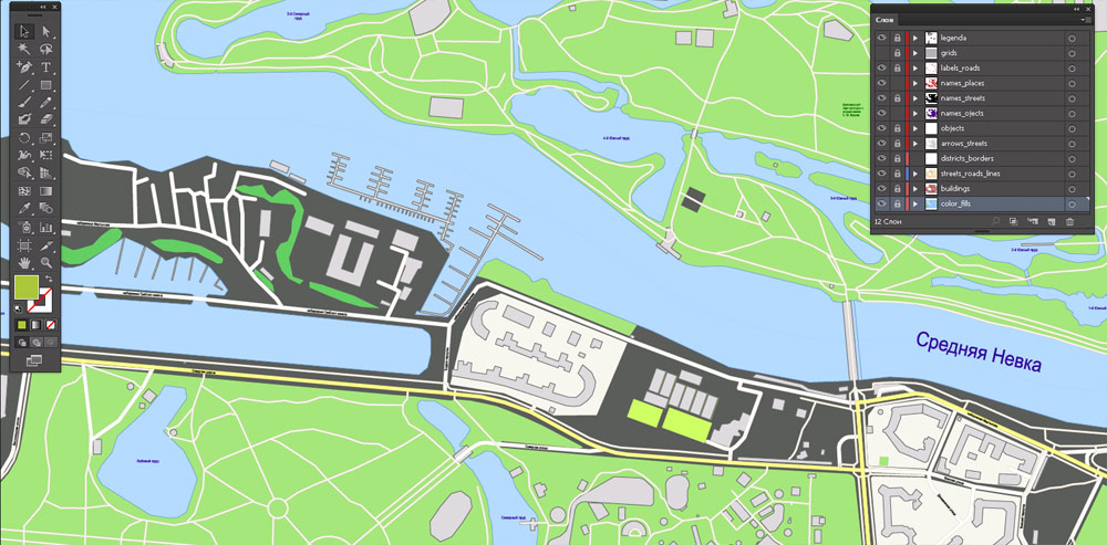
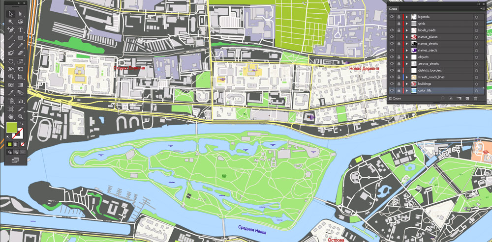
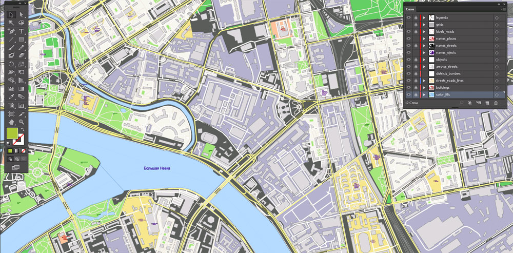
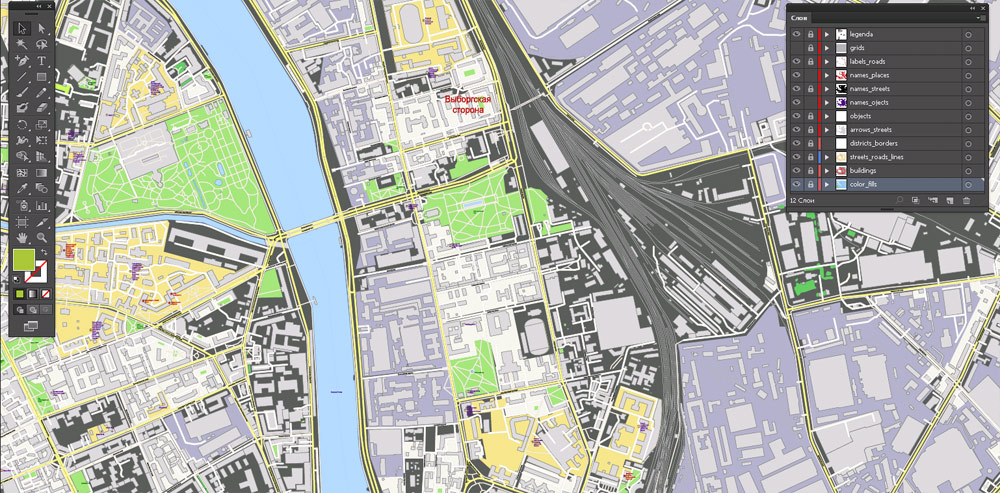
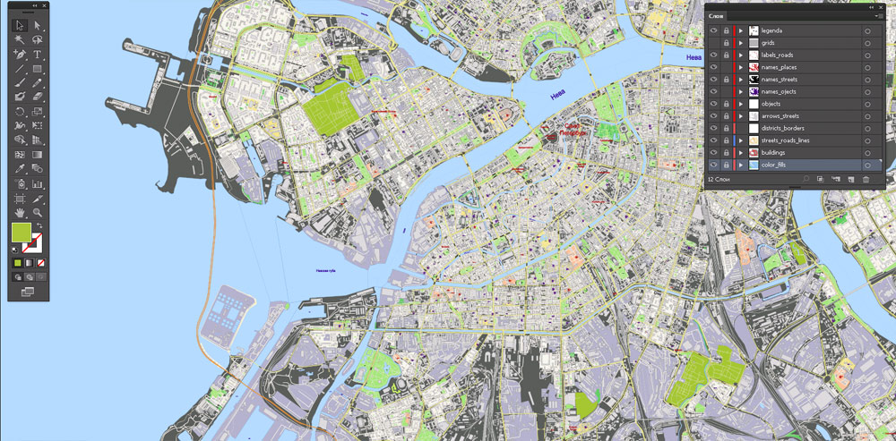
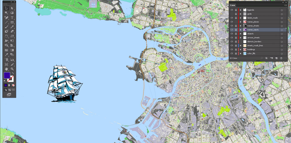
Printable Vector Map Saint Petersburg Russia, exact City Plan scale 1:2352 full editable Adobe Illustrator Street Map, scalable, 82 mb ZIP
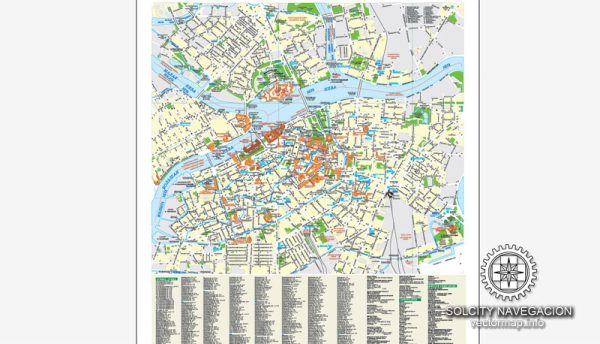
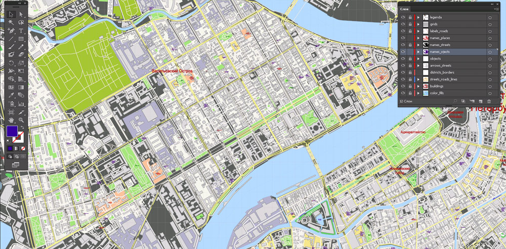
All streets named, Main Objects, All Buildings. Map for design, printing, arts, projects, presentations, for architects, designers and builders, business, logistics.
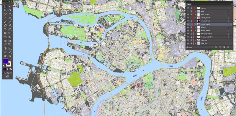
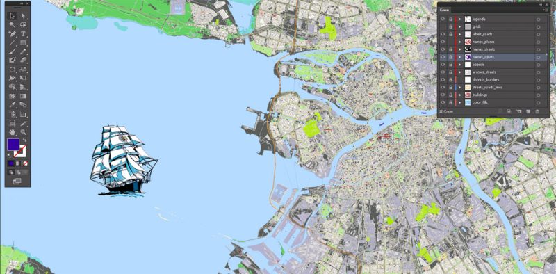
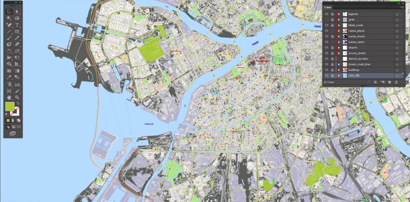
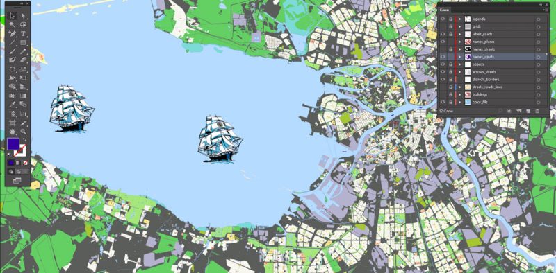
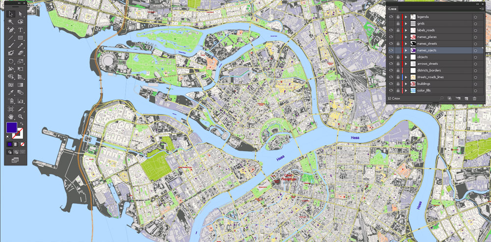
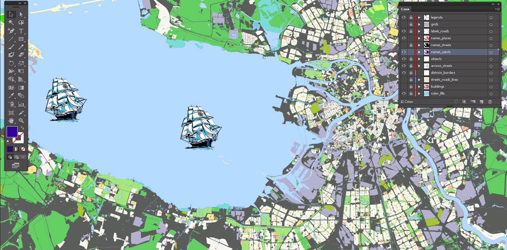
Layers: color fills, buildings, streets_roads, labels_roads, objects, names_objects, names_streets, names_places, grids, legend.
The most exact and detailed map of the city.
For High Quality Printing.
DWG, DXF and other formats – on request, same price, please, contact
Saint Petersburg
City in Russia
Saint Petersburg (Russian: Санкт-Петербу́рг) is Russia’s second-largest city after Moscow, with five million inhabitants in 2012. An important Russian port on the Baltic Sea, it has a status of a federal subject (a federal city).
Situated on the Neva River, at the head of the Gulf of Finland on the Baltic Sea, it was founded by Tsar Peter the Great on May 27 1703. On 1 September 1914, the name was changed from Saint Petersburg to Petrograd, on 26 January 1924 to Leningrad, and on 7 September 1991 back to Saint Petersburg. Between 1713 and 1728 and in 1732–1918, Saint Petersburg was the capital of Imperial Russia. In 1918, the central government bodies moved to Moscow.
Saint Petersburg is one of the modern cities of Russia, as well as its cultural capital. The Historic Centre of Saint Petersburg and Related Groups of Monuments constitute a UNESCO World Heritage Site. Saint Petersburg is home to the Hermitage, one of the largest art museums in the world. Many foreign consulates, international corporations, banks and businesses have offices in Saint Petersburg.
Area
• Total 1,439 km2 (556 sq mi)
Area rank 82nd
Population
• Total 5,323,300 permanent residents within city limits
Author Rating
Aggregate Rating
5 based on 1 votes
City Map Street Map
Product Name Printable Vector Map Saint Petersburg Russia, exact City Plan scale 1:2352 full editable Adobe Illustrator Street Map
Price
USD 89
Product Availability
Available in Stock



 Author: Kirill Shrayber, Ph.D. FRGS