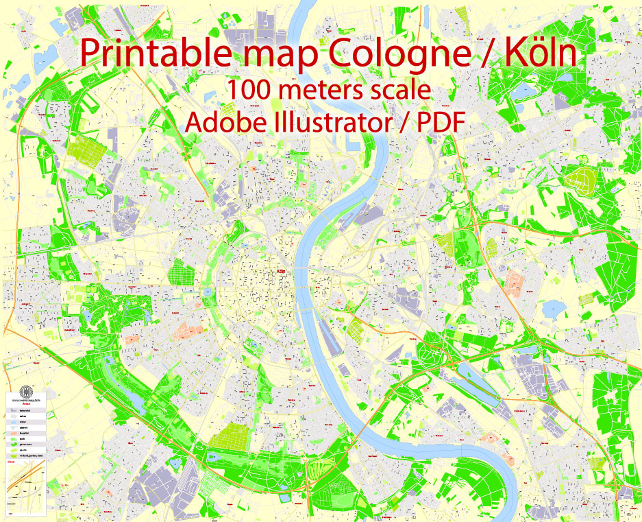
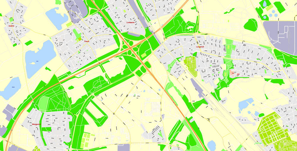
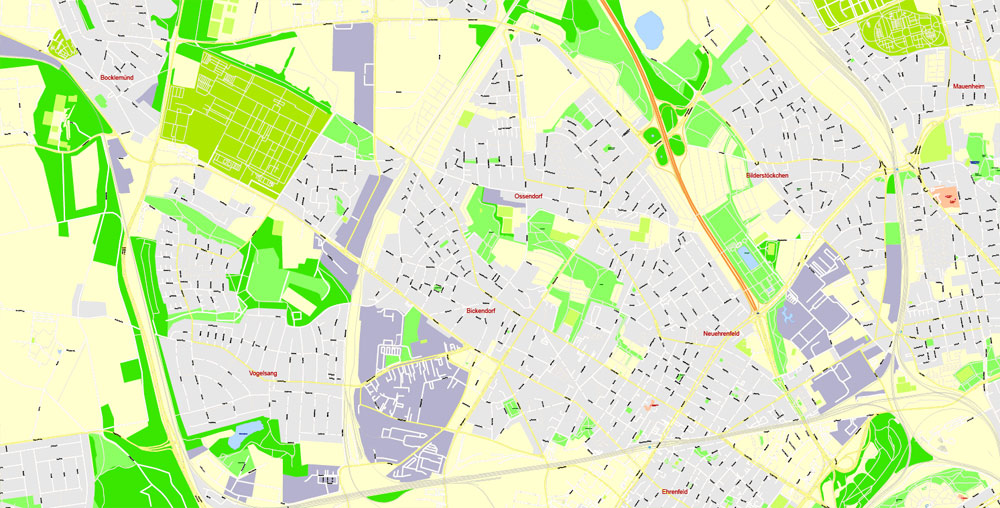
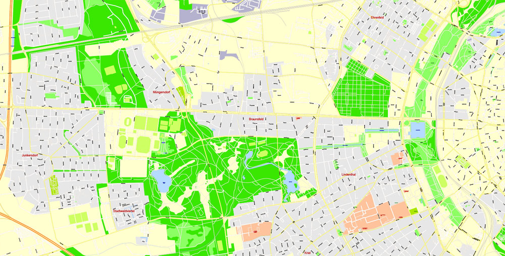
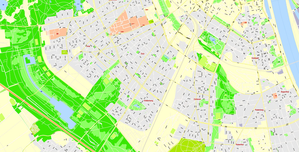
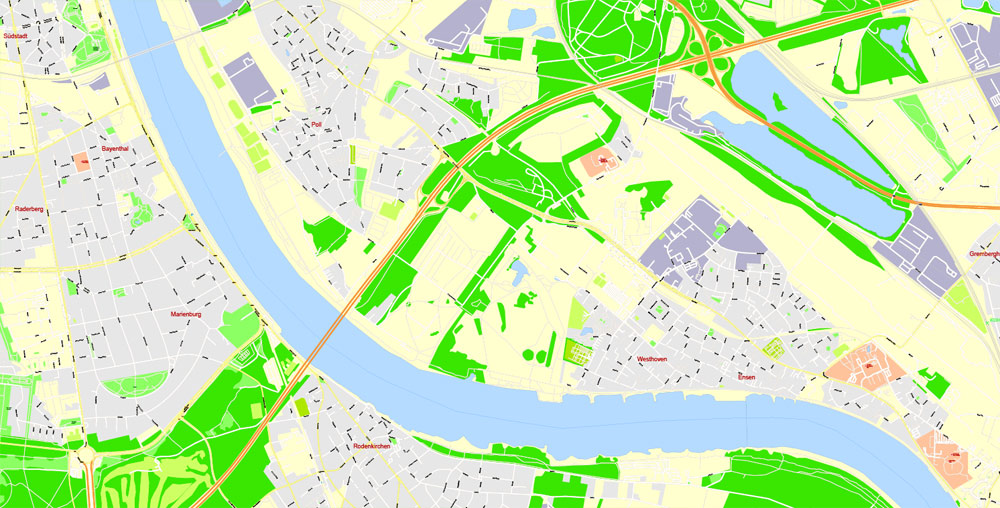
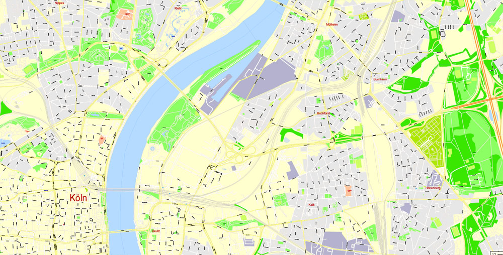
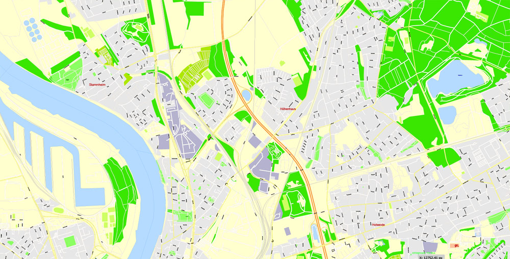
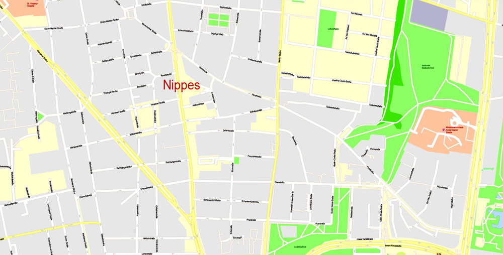
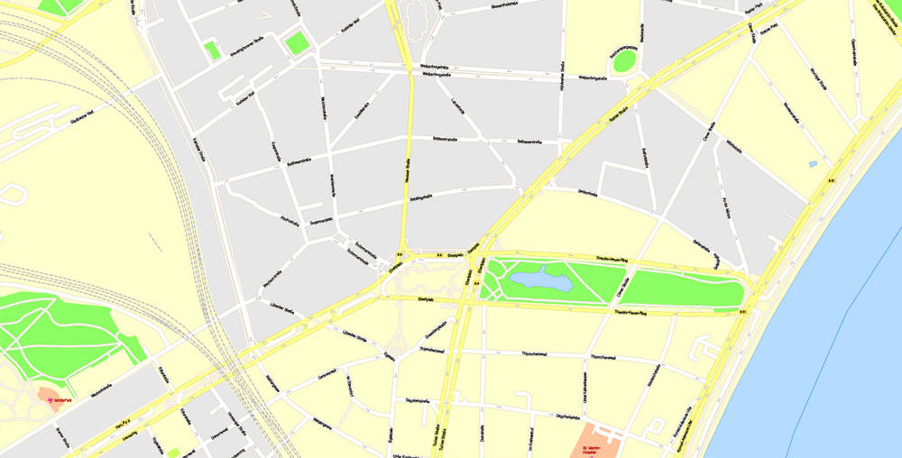
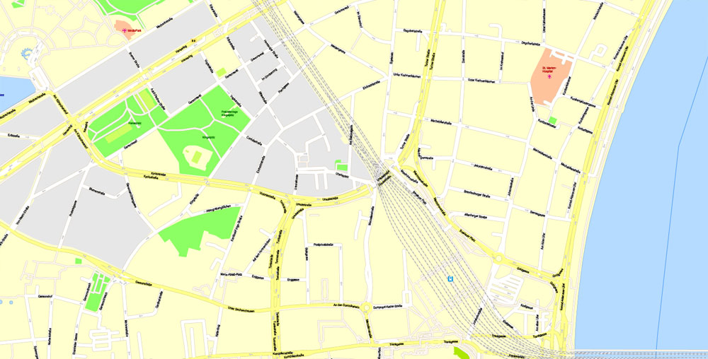
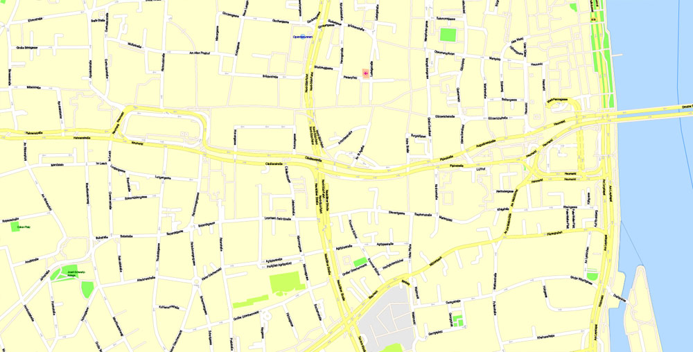
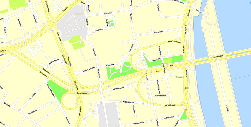
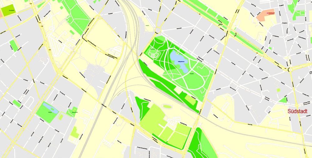
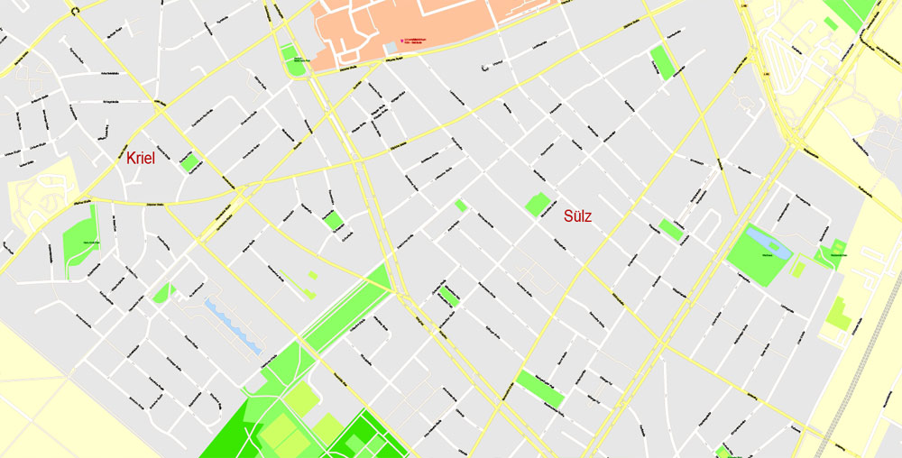
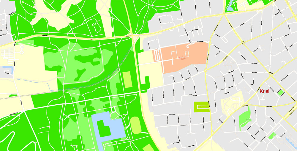
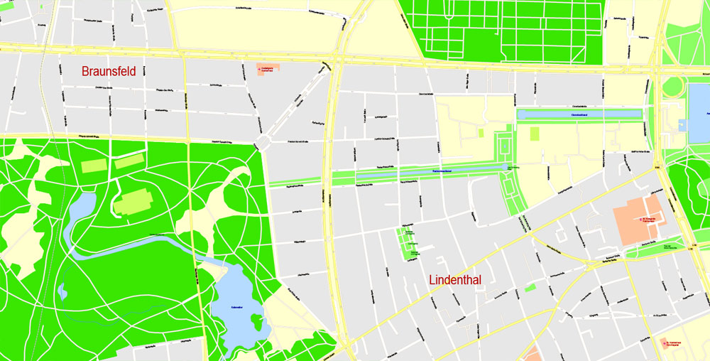
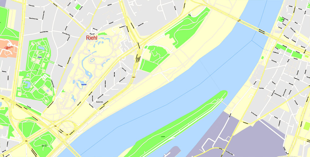
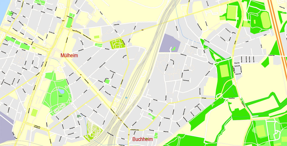
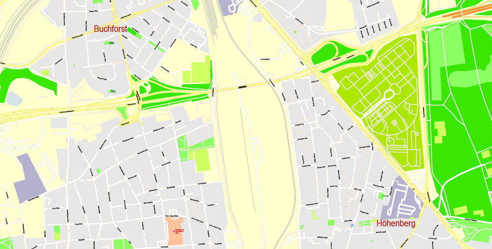
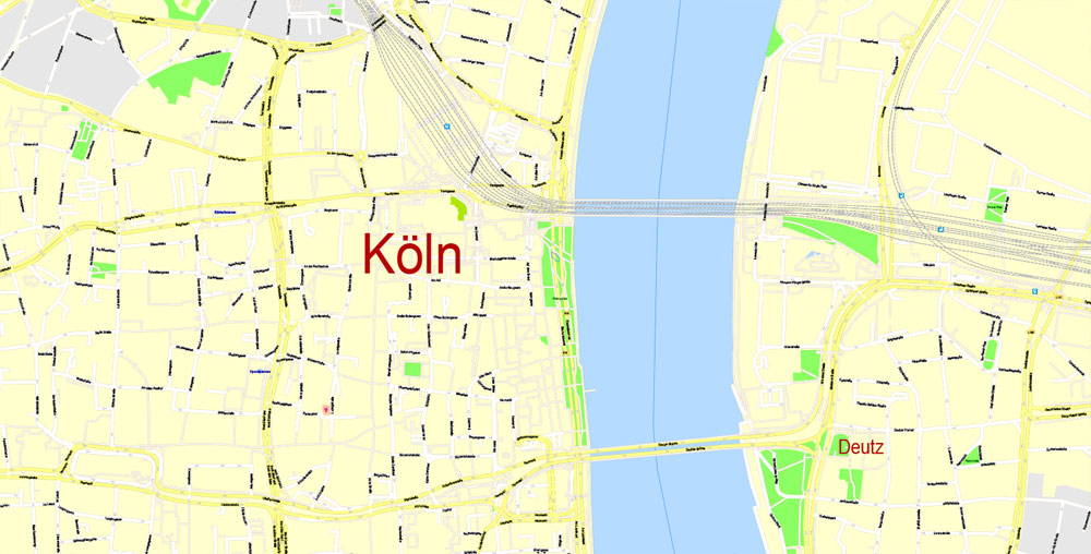
Printable Vector Map Cologne Köln, Germany, G-View level 17 (100 m scale) street City Plan map, full editable, Adobe Illustrator, full vector, scalable, editable, text format street names, 7 mb ZIP
All streets named, main objects, no buildings. Map for publishing, design, printing, publications, arts, projects, presentations, for architects, designers and builders, business, logistics. The most exact and detailed map of the city.
Layers: color_fills, streets_roads, arrows_streets, labels_roads, objects, names objects, names_streets, names_places, grids, legend.
For printing LARGE (WALL) format
DXF, DWG, CDR and other formats – on request, same price, please, contact
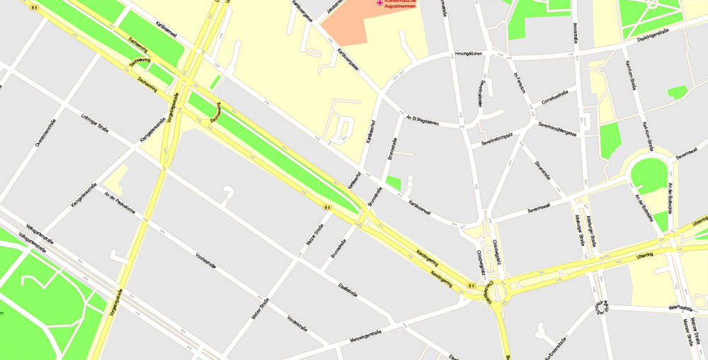
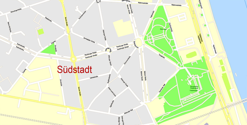
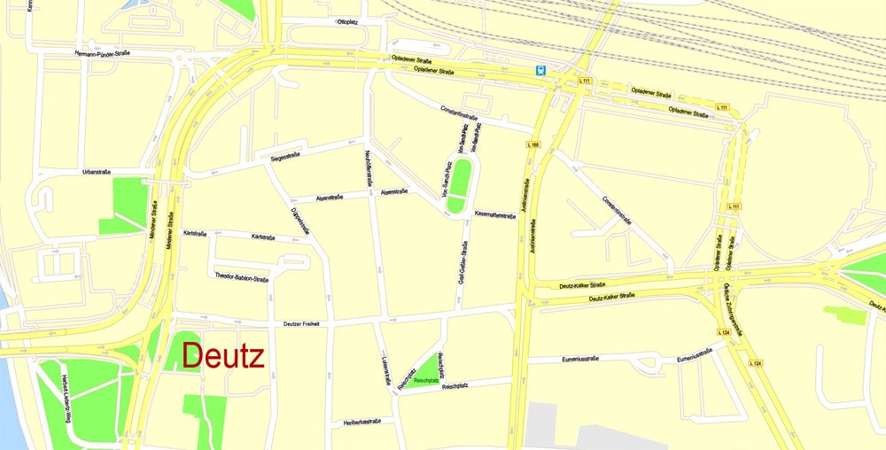
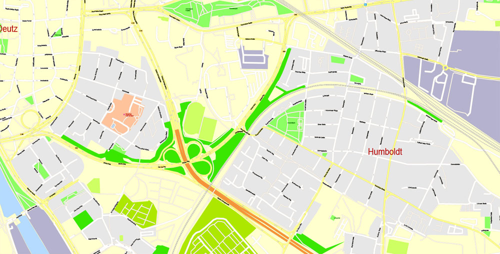
Cologne, Germany.
This vector map of Cologne city is used as a basis for design, editing, and further printing.
This is the most detailed, exact map of Cologne city for high-quality printing and polygraphy. You can always clarify the map development date by contacting us.
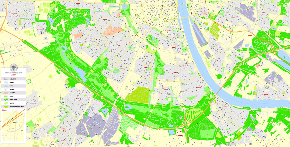
For your convenience, all objects on Cologne vector city map are divided into layers. And the editing is very easy – colors, lines, etc.
You can easily add any objects needed (e.g. shops, salons, sale points, gas station or attraction) on any layer of Cologne vector map.
Cologne is the largest city of Germany’s most populous federal state of North Rhine-Westphalia, and its 1,075,935 (2016) inhabitants make it the fourth most populous city in Germany after Berlin, Hamburg, and Munich. The largest city on the Rhine, it is also the most populous city both of the Rhine-Ruhr Metropolitan Region, which is Germany’s largest and one of Europe’s major metropolitan areas, and of the Rhineland. Centred on the left bank of the Rhine, Cologne is about 45 kilometres (28 mi) southeast of North Rhine-Westphalia’s capital of Düsseldorf and 25 kilometres (16 mi) northwest of Bonn. It is the largest city in the Central Franconian and Ripuarian dialect areas.
One of the advantages of Cologne city vector maps of our production is the relevance of cartographic data, we constantly update all our products.
This vector map of Cologne city is used by:
designers, layout designers, printers, advertisers and architects. Our product – vector maps – is designed for further editing and printing in large formats – from @Wall format (a few meters) to A-0 and A-1, A-2, A-3.
The Cologne city map in vector format is used for design, urban planning, presentations and media visualizations.
The advertising and presentation map of Cologne city (usually the final designer marks the routes, and puts the client’s objects (shops, saloons, gas stations etc.)
The undoubted advantage is that people will NEVER throw out this advertising product – the map. In fact, as an advertising medium, a city map is the most “long-playing” of the well-known polygraphic advertising media, with the longest lifespan, and the maximum number of interactions with the customer.
For travelers, maps are sold at the airports and gas stations around the world. Often the source is our vector maps.
Take a look, who purchases our vector maps of Cologne city in “Our Clients and Friends” page – these are large and small companies, from super-brands like Volvo and Starbucks, to small design studios and printing houses.
It’s very easy to work with vector maps of Cologne city, even for a not very experienced designer who can turn on and off the map layers, add new objects, change the colors of fill and lines according to customer requirements.
The undoubted advantage of Cologne city vector maps in printing is an excellent and detailed visualization, when customer can expand a large paper map and instantly define his location, find a landmark, an object or address on map, unlike using the popular electronic formats of Google and Yandex maps for example.
Printable vector maps of Cologne city are much more convenient and efficient than any electronic maps on your smartphone, because ALL DETAILS are displayed in the entire space of Cologne city map.
Useful tips on working with vector maps of cities and countries in Adobe Illustrator.
«V» – launches the Selection tool (cursor, black arrow), which makes active any vector line.
«А» – launches the Direct Selection tool (white cursor), allows you to select curve elements and drag them to the desired place.
«R» – activates the Rotate tool, which helps you rotating selected objects around the center point by 360 degrees.
«E» – gives you the opportunity to use the Eraser tool and erase unnecessary parts.
«X» – switches between Fill and Stroke in the Tools section. Try to get used to this hot key and
you will quickly understand that you can’t live and work without it.
Guides are not limited to vertical and horizontal in Adobe Illustrator. You can also create a diagonal guide for example. Moreover, you can turn any contours into guides. Select the outline and go to View > Guides > Make Guides (Create Guides), or simply press Cmd/Ctrl + 5. You can also turn the guides back into an editable object. Go to menu, View > Guides > Unlock Guides (Release Guides), select the guide you want to edit and select View > Guides > Release Guides (Reset Guides), or just press Cmd/Ctrl + Option / Alt + 5).
You will probably want to change the color scheme used on our Cologne vector city map.
The city’s famous Cologne Cathedral (Kölner Dom) is the seat of the Catholic Archbishop of Cologne. There are many institutions of higher education in the city, most notably the University of Cologne (Universität zu Köln), one of Europe’s oldest and largest universities, the Technical University of Cologne (Technische Hochschule Köln), Germany’s largest university of applied sciences, and the German Sport University Cologne (Deutsche Sporthochschule Köln), Germany’s only sport university. Cologne Bonn Airport (Flughafen Köln/Bonn) is Germany’s seventh-largest airport and lies in the southeast of the city. The main airport for the Rhine-Ruhr region is Düsseldorf Airport.
To quickly and effectively play with colors.
Of course, you can do it manually, all objects in our Cologne city vector map are divided according to types and layers, and you can easily change the color gamma of vector objects in groups and layers.
But there is more effective way of working with the whole VECTOR MAP of Cologne city and all layers:
The overview dialog «Edit colors»/«Repaint Graphic Object» (this dialog box name can change depending on the context):
If you have selected a part or a layer of Cologne city vector map and open the dialog box by clicking the icon in the Control panel, on the Samples palette or the Color Catalog, or if you choose Edit > Edit Colors> Repaint Graphic Object, then the «Repaint Graphic Object» dialog box appears, and you get access to «Assign» and «Edit» tabs.
If a picture or a map fragment is not selected, and you open the dialog box by clicking the icon in the Control panel, on the Samples palette or in the Color Catalog, the «Edit Colors» dialog box appears and you can only access the «Edit» tab.
Regardless of the name at the top of the dialog box, the right-hand side always displays the color group of the current document, as well as two default color groups: Print Color and Grayscale. These color groups can be selected and used any time.
Create and edit color groups of Cologne city vector map, and also assign colors using the «Edit Colors»/ а «Repaint Graphic Object» dialog box.
A. Creating and editing of a color group on the «Edit» tab
B. Assigning colors on the «Assign» tab
C. Select a group of colors from the «Color groups» list
The option «Repaint a graphic object» in the lower part of the dialog box allows you to preview the colors on a selected layer of Vector map, or a group of elements, and specify whether its colors will be redefined when the dialog box is closed.
Cologne was founded and established in Ubii territory in the 1st century AD as the Roman Colonia Claudia Ara Agrippinensium, the first word of which is the origin of its name. An alternative Latin name of the settlement is Augusta Ubiorum, after the Ubii. “Cologne”, the French version of the city’s name, has become standard in English as well. The city functioned as the capital of the Roman province of Germania Inferior and as the headquarters of the Roman military in the region until occupied by the Franks in 462.
The main areas of the dialog box are:
«Edit»
The «Edit» tab is designed to create a new or edit the existing color groups.
The harmony rules Menu and the Color Wheel are used to conduct experiments with color harmonies. The color wheel shows how colors are related in color harmony, and the color bars allow you to view and manipulate an individual color values. In addition, you can adjust the brightness, add and remove colors, save color groups and view colors on the selected Vector Map of Cologne city or a separated layers.
«Assign»
The «Assign» tab is used to view and control on how the original colors are replaced with colors from the color group like your corporate colors in the Vector Map of Cologne city.
The assign color ability is provided only if the entire map, layer or fragment is selected in the document. You can specify which of new colors replace the current colors, whether the spot colors should be preserved and how colors are replaced (for example, you can replace colors completely or changing the color tone while maintaining the brightness). The «Assign» tab allows you to redefine colors in the Vector Map of Cologne city, or in separate layers and fragments using the current color group or reducing the number of colors in the current Vector Map.
Color groups
Is a list of all saved color groups for current document (the same groups appear in the «Samples» palette). You can edit and delete the existing color groups, as well as creating a new ones using the list of “Color Groups” in the dialog box. All changes appear in the «Samples» palette.
The highlighted color group shows, which color group is currently edited.
Any color group can be selected and edited, or used to redefine the colors in the selected vector map of Cologne city, its fragments or elements.
Saving a color group adds this group to the specified list.
Opening the «Edit Colors»/«Repaint Graphic Object» dialog box.
Open the «Edit Colors»/«Repaint Graphic Object» dialog box using one of the following methods:
«Edit»> «Edit Colors»> «Repaint Graphic object» or «Repaint With Style».
Use these commands if you need to edit the colors in the selected vector map of Cologne city.
«Repaint Graphic object» button on the «Control» panel.
Use this button if you need to adjust colors of Cologne city vector map using the а «Repaint graphic object» dialog box.
The specified button is available if the selected vector map or its fragment contains two or more colors.
Note. This color editing method is convenient for global color adjustment in a vector map, if global colors were not used when creating a City Map of Cologne.
The «Edit colors» button or «Edit or apply colors» on the «Color Catalog» palette
Click this button if you need to edit colors on the «Color Catalog» palette or edit and then apply them to the selected Vector Map of Cologne city or its fragment.
The «Edit color group» button or «Edit or apply color group» on the «Samples» palette.
Click this button if you need to edit the colors in the specific color group or edit and apply them to the selected Vector Map of Cologne city or a group of its elements, for example, the whole layer “Streets and lines”. You can also double-click the color group in the Samples panel to open the dialog box.
If the map file is too large and your computer freezes or even can’t open it quickly:
1. Try to reduce the color resolution of the video card (display) to 256 colors while working with a large map.
2. Using Windows Task Manager, select all the application you don’t need, while working with map, just turn them off.
3. Launch Adobe Illustrator. (DO NOT OPEN the vector map file)
4. Start the Windows Task Manager using administrator rights > Find the “Illustrator” process > set the «real time» priority,
5. Open the file. When you see the LEGACY FONT popup window – click “OK” (do not update). You can restore the TEXT later.
6. Can also be useful: When file is opened – Edit > Settings > Basic Settings > disable smoothing. /// It looks scary, but works quickly)))
We recommend saving the file in Adobe Illustrator 10 version. It’s much more stable when working with VERY BIG size files.
During the Middle Ages it flourished on one of the most important major trade routes between east and west in Europe. Cologne was one of the leading members of the Hanseatic League and one of the largest cities north of the Alps in medieval and Renaissance times. Prior to World War II the city had undergone several occupations by the French and also by the British (1918–1926). Cologne was one of the most heavily bombed cities in Germany during World War II, with the Royal Air Force (RAF) dropping 34,711 long tons (35,268 tonnes) of bombs on the city. The bombing reduced the population by 95%, mainly due to evacuation, and destroyed almost the entire city. With the intention of restoring as many historic buildings as possible, the successful postwar rebuilding has resulted in a very mixed and unique cityscape.
Cologne is a major cultural centre for the Rhineland; it hosts more than 30 museums and hundreds of galleries. Exhibitions range from local ancient Roman archeological sites to contemporary graphics and sculpture. The Cologne Trade Fair hosts a number of trade shows such as Art Cologne, imm Cologne, Gamescom, and the Photokina.
Geography
The metropolitan area encompasses over 405 square kilometres (156 square miles), extending around a central point that lies at 50° 56′ 33 latitude and 6° 57′ 32 longitude. The city’s highest point is 118 m (387.1 ft) above sea level (the Monte Troodelöh) and its lowest point is 37.5 m (123.0 ft) above sea level (the Worringer Bruch). The city of Cologne lies within the larger area of the Cologne Lowland, a cone-shaped area of southeastern Westphalia that lies between Bonn, Aachen and Düsseldorf.
The inner city of Cologne was completely destroyed during World War II. The reconstruction of the city followed the style of the 1950s, while respecting the old layout and naming of the streets. Thus, the city today is characterized by simple and modest post-war buildings, with a few interspersed pre-war buildings which were reconstructed due to their historical importance. Some buildings of the “Wiederaufbauzeit” (era of reconstruction), for example, the opera house by Wilhelm Riphahn, are nowadays regarded as classics of modern architecture. Nevertheless, the uncompromising style of the Cologne Opera house and other modern buildings has remained controversial.
Green areas account for over a quarter of Cologne, which is approximately 75 m2 (807.29 sq ft) of public green space for every inhabitant.
Cologne Köln
City in Germany
Cologne, a 2,000-year-old city spanning the Rhine River in western Germany, is the region’s cultural hub. A landmark of High Gothic architecture set amid reconstructed old town, the twin-spired Cologne Cathedral is also known for its gilded medieval reliquary and sweeping river views. The adjacent Museum Ludwig showcases 20th-century art, including many masterpieces by Picasso, and the Romano-Germanic Museum houses Roman antiquities.
Area
• City 405.15 km2 (156.43 sq mi)
Elevation 37 m (121 ft)
Population
• City 1,060,582
• Density 2,600/km2 (6,800/sq mi)
• Metro 3,573,500
Free vector maps:

Free download printable map Europe vector Adobe Illustrator >>>
Free download printable PDF map Europe vector Adobe PDF >>>
Small guide: How to work with the vector map?
You can: Mass select objects by type and color – for example, the objects type “building” (they are usually dark gray) – and remove them from the map, if you do not need them in your print or design project. You can also easily change the thickness of lines (streets), just bulk selection the road by the line color.
The streets are separated by type, for example, type “residential road” are usually white with a gray stroke. Highway usually orange with a brown or dark gray stroke.
It is easy to change the font of inscriptions, all or each individually. Also, just can be make and any other manipulation of objects on the vector map in Adobe illustrator format.
Important: All the proportions on the map are true, that is, the relative sizes of the objects are true, because Map is based on an accurate GPS projection, and It transated into the (usual for all) the Mercator projection.
You can easily change the color, stroke and fill of any object on the map, zoom without loss of quality Image Verification.
Select object

Bulk selection the same objects on the vector map

See the bulk selected objects on the vector map

Bulk delete buildungs from the vector map

Select residencial road (small street) on the vector map

Bulk selection the same lines (streets, roads) on the full map

Create fat lines of the streets on the vector maps (bulk action) 1

Create fat lines of the streets on the vector maps (bulk action) 2

Create fat lines of the streets on the vector maps (bulk action) 3

You can easily change the color, stroke and fill of any object on the map, zoom without loss of quality Image Verification.

 Author: Kirill Shrayber, Ph.D. FRGS

 street City Plan map, full editable, Adobe Illustrator")
 street City Plan map, full editable, Adobe Illustrator")