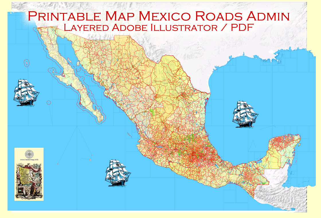
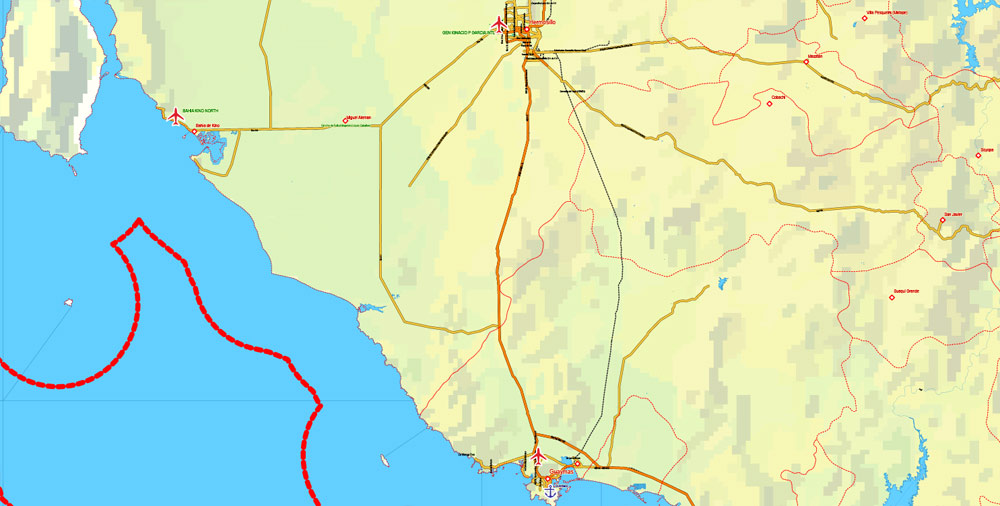
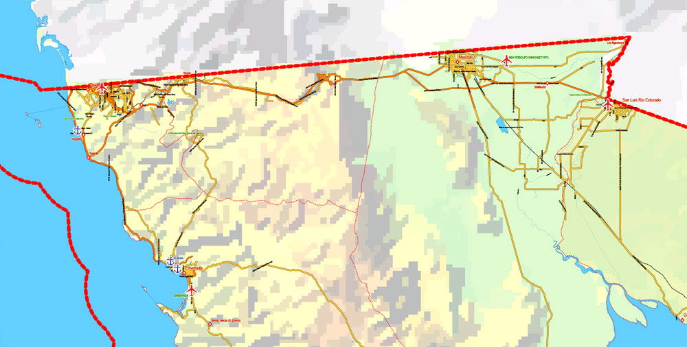
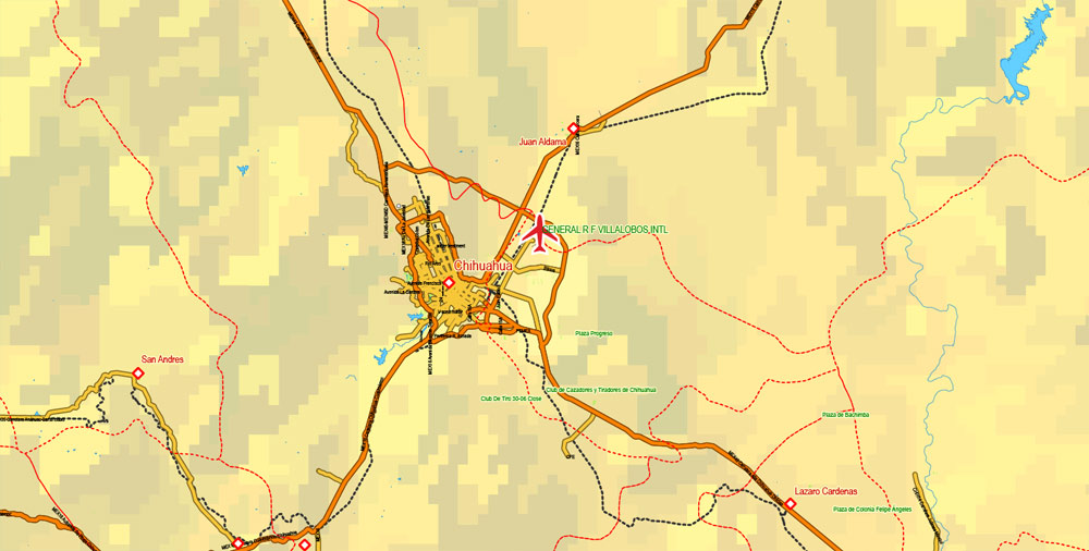
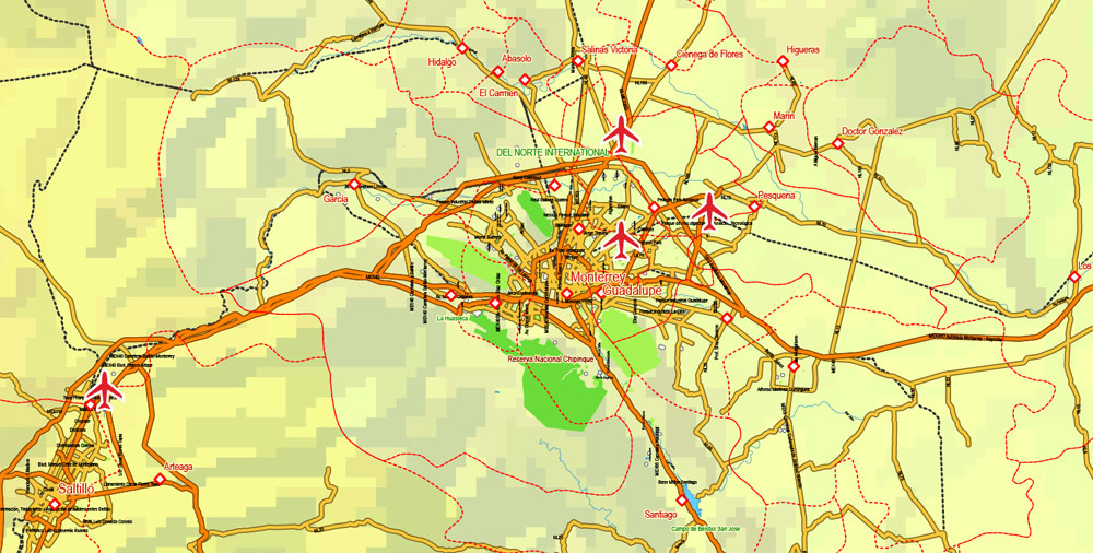
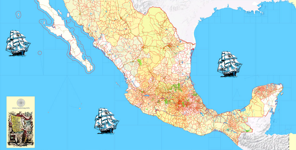
Printable PDF Relief Map Full Mexico Country exact vector Topo Roads Admin Ports Airports, full editable, Adobe PDF, full vector, scalable, editable text format names, 116 mb ZIP
Main Roads, Main Objects, Topo Relief (vector), All Cities, Admin Areas, All ports an Airports. Map for design, printing, arts, projects, presentations, for architects, designers and builders, business, logistics.
Layers: Separated layers for all type of objects.
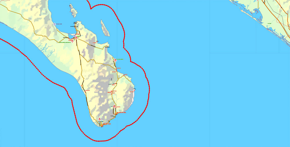
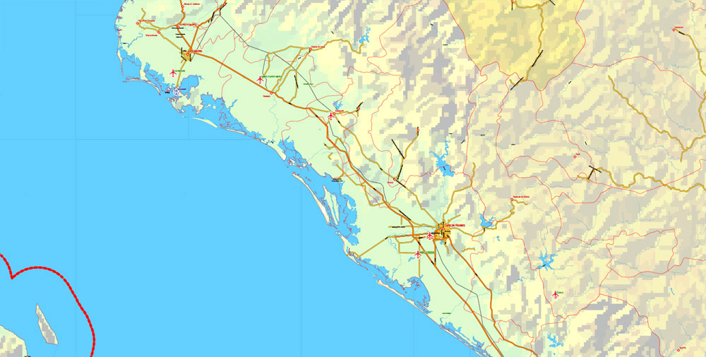
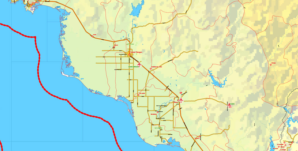
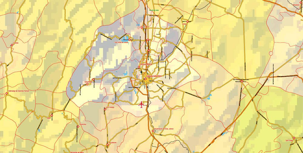
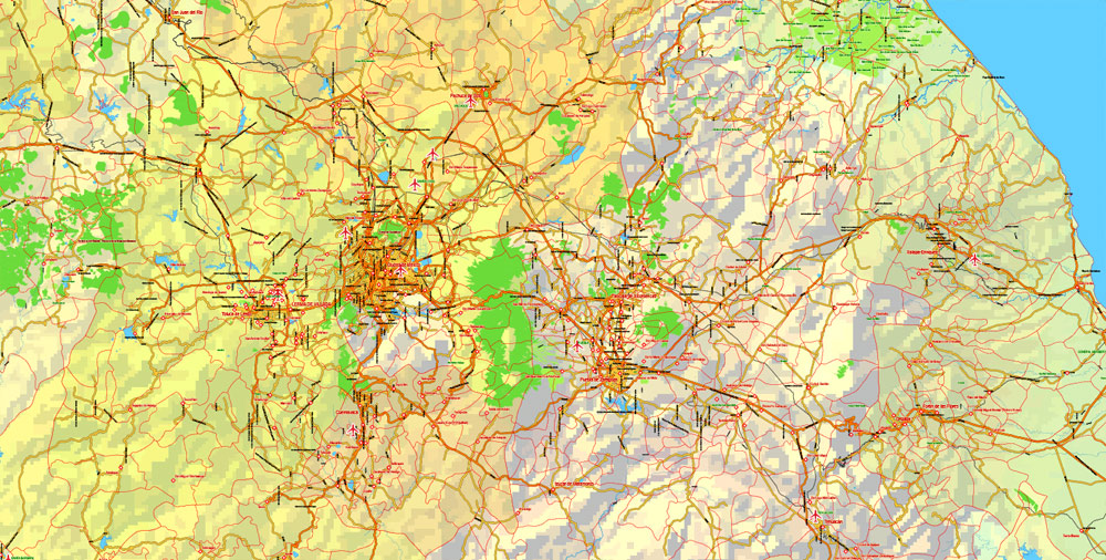
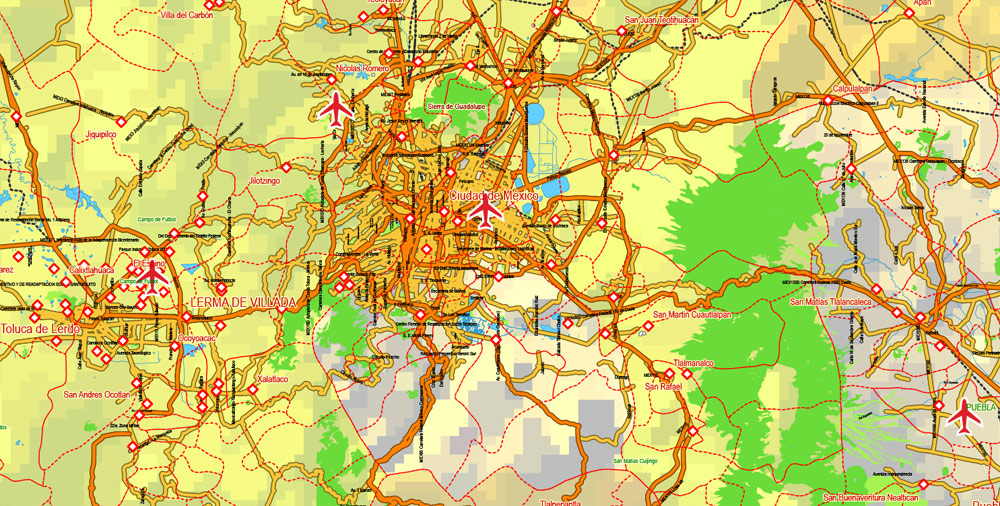
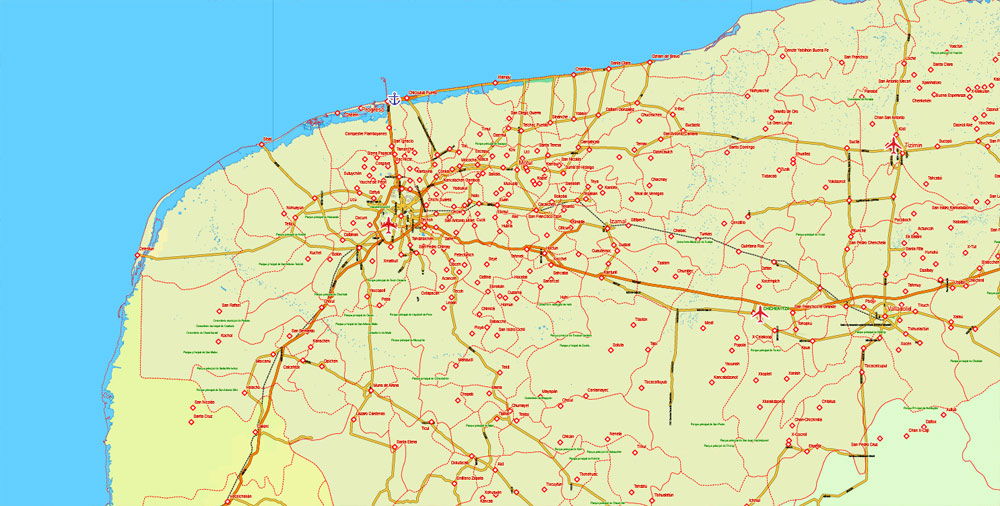
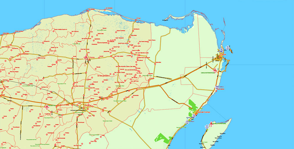
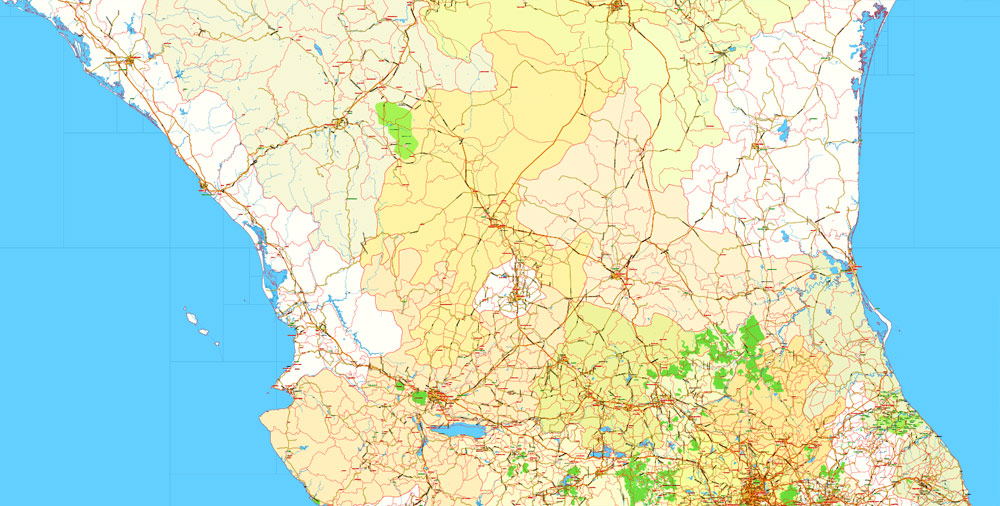
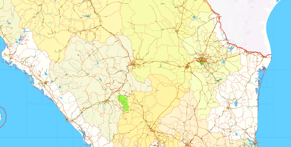
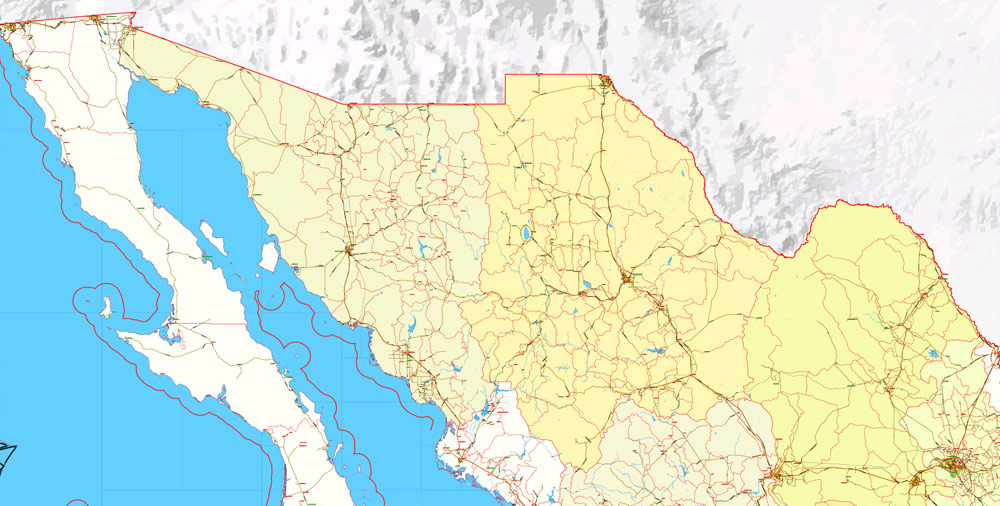
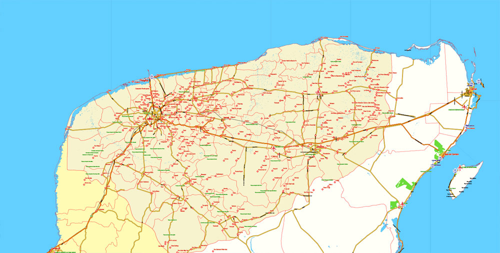
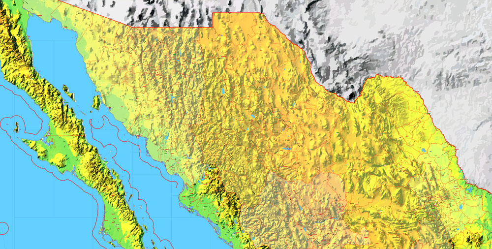
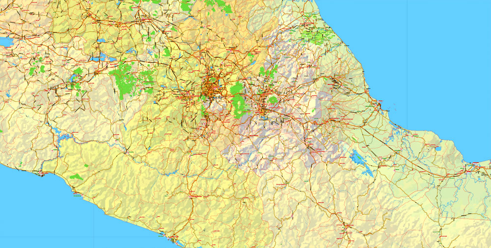
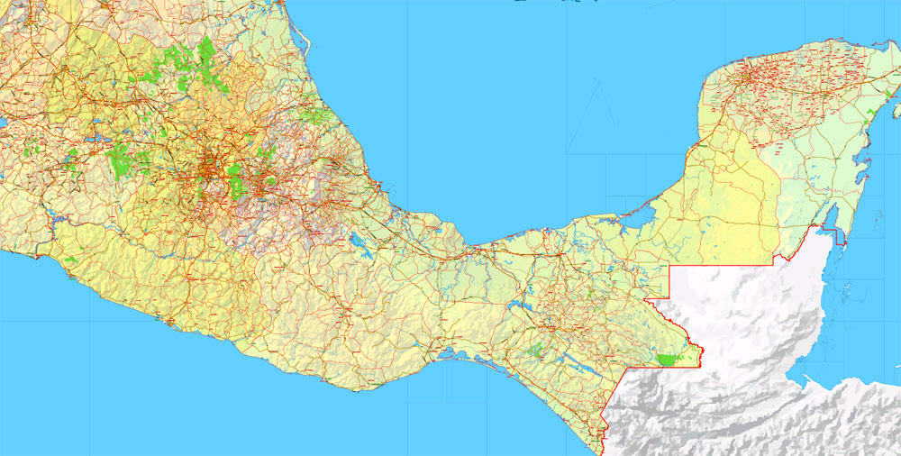
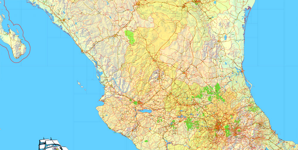
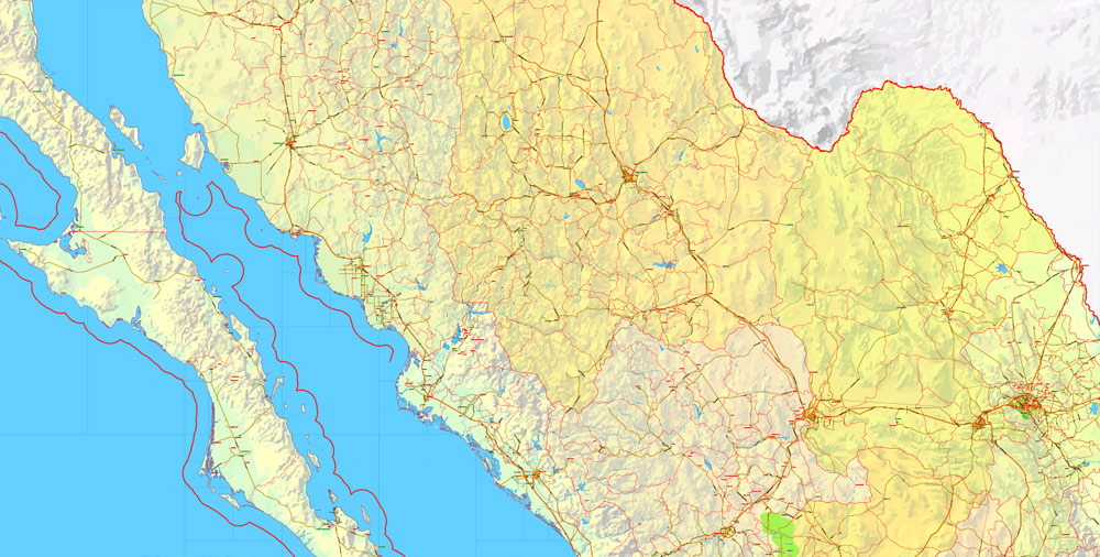
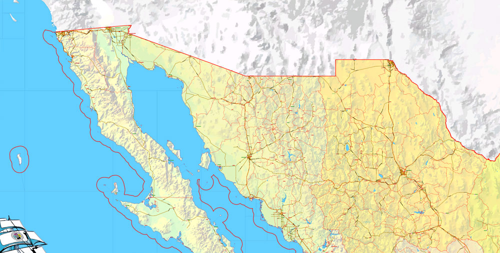
The most exact and detailed map of the Mexico Country.
For print LARGE (WALL) format.
You can edit this file by Adobe Illustrator, Adobe Acrobat, Corel Draw.
DWG, DXF, CDR and other formats – on request, same price, please, contact
Mexico.
This vector map of Mexico is used as a basis for design, editing, and further printing.
This is the most detailed, exact map of Mexico for high-quality printing and polygraphy. You can always clarify the map development date by contacting us.
For your convenience, all objects on Mexico vector map are divided into layers. And the editing is very easy – colors, lines, etc.
You can easily add any objects needed (e.g. shops, salons, sale points, gas station or attraction) on any layer of Mexico vector map.
Mexico is a country in the southern portion of North America. It is bordered to the north by the United States; to the south and west by the Pacific Ocean; to the southeast by Guatemala, Belize, and the Caribbean Sea; and to the east by the Gulf of Mexico. Covering almost 2,000,000 square kilometres (770,000 sq mi), the nation is the fifth largest country in the Americas by total area and the 13th largest independent state in the world. With an estimated population of over 120 million people, the country is the eleventh most populous state and the most populous Spanish-speaking state in the world, while being the second most populous nation in Latin America after Brazil. Mexico is a federation comprising 31 states and Mexico City, a special federal entity that is also the capital city and its most populous city. Other metropolises in the state include Guadalajara, Monterrey, Puebla, Toluca, and Tijuana.
One of the advantages of Mexico vector maps of our production is the relevance of cartographic data, we constantly update all our products.
This vector map of Mexico is used by:
designers, layout designers, printers, advertisers and architects. Our product – vector maps – is designed for further editing and printing in large formats – from @Wall format (a few meters) to A-0 and A-1, A-2, A-3.
The Mexico map in vector format is used for design, urban planning, presentations and media visualizations.
The advertising and presentation map of Mexico (usually the final designer marks the routes, and puts the client’s objects (shops, saloons, gas stations etc.)
The undoubted advantage is that people will NEVER throw out this advertising product – the map. In fact, as an advertising medium, a map is the most “long-playing” of the well-known polygraphic advertising media, with the longest lifespan, and the maximum number of interactions with the customer.
Pre-Columbian Mexico dates to about 8000 BC and is identified as one of five cradles of civilization and was home to many advanced Mesoamerican civilizations such as the Olmec, Toltec, Teotihuacan, Zapotec, Maya, and Aztec before first contact with Europeans. In 1521, the Spanish Empire conquered and colonized the territory from its politically powerful base in Mexico-Tenochtitlan (part of Mexico City), which was administered as the viceroyalty of New Spain. Three centuries later, the territory became a nation state following its recognition in 1821 after the colony’s Mexican War of Independence.
For travelers, maps are sold at the airports and gas stations around the world. Often the source is our vector maps.
Take a look, who purchases our vector maps of Mexico in “Our Clients and Friends” page – these are large and small companies, from super-brands like Volvo and Starbucks, to small design studios and printing houses.
It’s very easy to work with vector maps of Mexico city, even for a not very experienced designer who can turn on and off the map layers, add new objects, change the colors of fill and lines according to customer requirements.
The undoubted advantage of Mexico vector maps in printing is an excellent and detailed visualization, when customer can expand a large paper map and instantly define his location, find a landmark, an object or address on map, unlike using the popular electronic formats of Google and Yandex maps for example.
Printable vector maps of Mexico are much more convenient and efficient than any electronic maps on your smartphone, because ALL DETAILS are displayed in the entire space of Mexico map.
Useful tips on working with vector maps of cities and countries in Adobe Illustrator.
«V» – launches the Selection tool (cursor, black arrow), which makes active any vector line.
«А» – launches the Direct Selection tool (white cursor), allows you to select curve elements and drag them to the desired place.
«R» – activates the Rotate tool, which helps you rotating selected objects around the center point by 360 degrees.
«E» – gives you the opportunity to use the Eraser tool and erase unnecessary parts.
«X» – switches between Fill and Stroke in the Tools section. Try to get used to this hot key and
you will quickly understand that you can’t live and work without it.
Guides are not limited to vertical and horizontal in Adobe Illustrator. You can also create a diagonal guide for example. Moreover, you can turn any contours into guides. Select the outline and go to View > Guides > Make Guides (Create Guides), or simply press Cmd/Ctrl + 5. You can also turn the guides back into an editable object. Go to menu, View > Guides > Unlock Guides (Release Guides), select the guide you want to edit and select View > Guides > Release Guides (Reset Guides), or just press Cmd/Ctrl + Option / Alt + 5).
You will probably want to change the color scheme used on our Mexico vector map.
To quickly and effectively play with colors.
Of course, you can do it manually, all objects in our Mexico vector map are divided according to types and layers, and you can easily change the color gamma of vector objects in groups and layers.
But there is more effective way of working with the whole VECTOR MAP of Mexico and all layers:
The overview dialog «Edit colors»/«Repaint Graphic Object» (this dialog box name can change depending on the context):
If you have selected a part or a layer of Mexico vector map and open the dialog box by clicking the icon in the Control panel, on the Samples palette or the Color Catalog, or if you choose Edit > Edit Colors> Repaint Graphic Object, then the «Repaint Graphic Object» dialog box appears, and you get access to «Assign» and «Edit» tabs.
If a picture or a map fragment is not selected, and you open the dialog box by clicking the icon in the Control panel, on the Samples palette or in the Color Catalog, the «Edit Colors» dialog box appears and you can only access the «Edit» tab.
Regardless of the name at the top of the dialog box, the right-hand side always displays the color group of the current document, as well as two default color groups: Print Color and Grayscale. These color groups can be selected and used any time.
Create and edit color groups of Mexico vector map, and also assign colors using the «Edit Colors»/ а «Repaint Graphic Object» dialog box.
A. Creating and editing of a color group on the «Edit» tab
B. Assigning colors on the «Assign» tab
C. Select a group of colors from the «Color groups» list
The option «Repaint a graphic object» in the lower part of the dialog box allows you to preview the colors on a selected layer of Vector map, or a group of elements, and specify whether its colors will be redefined when the dialog box is closed.
The main areas of the dialog box are:
«Edit»
The «Edit» tab is designed to create a new or edit the existing color groups.
The harmony rules Menu and the Color Wheel are used to conduct experiments with color harmonies. The color wheel shows how colors are related in color harmony, and the color bars allow you to view and manipulate an individual color values. In addition, you can adjust the brightness, add and remove colors, save color groups and view colors on the selected Vector Map of Mexico or a separated layers.
«Assign»
The «Assign» tab is used to view and control on how the original colors are replaced with colors from the color group like your corporate colors in the Vector Map of Mexico city.
The assign color ability is provided only if the entire map, layer or fragment is selected in the document. You can specify which of new colors replace the current colors, whether the spot colors should be preserved and how colors are replaced (for example, you can replace colors completely or changing the color tone while maintaining the brightness). The «Assign» tab allows you to redefine colors in the Vector Map of Mexico city, or in separate layers and fragments using the current color group or reducing the number of colors in the current Vector Map.
Color groups
Is a list of all saved color groups for current document (the same groups appear in the «Samples» palette). You can edit and delete the existing color groups, as well as creating a new ones using the list of “Color Groups” in the dialog box. All changes appear in the «Samples» palette.
The highlighted color group shows, which color group is currently edited.
Any color group can be selected and edited, or used to redefine the colors in the selected vector map of Mexico city, its fragments or elements.
Saving a color group adds this group to the specified list.
Opening the «Edit Colors»/«Repaint Graphic Object» dialog box.
Open the «Edit Colors»/«Repaint Graphic Object» dialog box using one of the following methods:
«Edit»> «Edit Colors»> «Repaint Graphic object» or «Repaint With Style».
Use these commands if you need to edit the colors in the selected vector map of Mexico city.
«Repaint Graphic object» button on the «Control» panel.
Use this button if you need to adjust colors of Mexico vector map using the а «Repaint graphic object» dialog box.
The specified button is available if the selected vector map or its fragment contains two or more colors.
Note. This color editing method is convenient for global color adjustment in a vector map, if global colors were not used when creating a Map of Mexico.
The «Edit colors» button or «Edit or apply colors» on the «Color Catalog» palette
Click this button if you need to edit colors on the «Color Catalog» palette or edit and then apply them to the selected Vector Map of Mexico or its fragment.
The «Edit color group» button or «Edit or apply color group» on the «Samples» palette.
Click this button if you need to edit the colors in the specific color group or edit and apply them to the selected Vector Map of Mexico or a group of its elements, for example, the whole layer “Streets and lines”. You can also double-click the color group in the Samples panel to open the dialog box.
The post-independence period was tumultuous, characterized by economic inequality and many contrasting political changes. The Mexican–American War (1846–1848) led to a territorial cession of the extant northern territories to the United States. The Pastry War, the Franco-Mexican War, a civil war, two empires, and the Porfiriato occurred in the 19th century. The Porfiriato was ended by the start of the Mexican Revolution in 1910, which culminated with the promulgation of the 1917 Constitution and the emergence of the country’s current political system as a federal, democratic republic.
If the map file is too large and your computer freezes or even can’t open it quickly:
1. Try to reduce the color resolution of the video card (display) to 256 colors while working with a large map.
2. Using Windows Task Manager, select all the application you don’t need, while working with map, just turn them off.
3. Launch Adobe Illustrator. (DO NOT OPEN the vector map file)
4. Start the Windows Task Manager using administrator rights > Find the “Illustrator” process > set the «real time» priority,
5. Open the file. When you see the LEGACY FONT popup window – click “OK” (do not update). You can restore the TEXT later.
6. Can also be useful: When file is opened – Edit > Settings > Basic Settings > disable smoothing. /// It looks scary, but works quickly)))
We recommend saving the file in Adobe Illustrator 10 version. It’s much more stable when working with VERY BIG size files.
Mexico has the 15th largest nominal GDP and the 11th largest by purchasing power parity. The Mexican economy is strongly linked to those of its 1994 North American Free Trade Agreement (NAFTA) partners, especially the United States. In 1994, Mexico became the first Latin American member of the Organisation for Economic Co-operation and Development (OECD). It is classified as an upper-middle income country by the World Bank and a newly industrialized country by several analysts.
The country is considered both a regional power and a middle power, and is often identified as an emerging global power. Due to its rich culture and history, Mexico ranks first in the Americas and seventh in the world for number of UNESCO World Heritage Sites. Mexico is an ecologically megadiverse country, ranking fourth in the world for its biodiversity. Mexico has many tourists: in 2016, it was the eighth most-visited country in the world, with 35 million international arrivals. Mexico is a member of the United Nations (UN), the World Trade Organization (WTO), the G8+5, the G20, the Uniting for Consensus group of the UN, and the Pacific Alliance trade bloc.
Geography
Mexico is located between latitudes 14° and 33°N, and longitudes 86° and 119°W in the southern portion of North America. Almost all of Mexico lies in the North American Plate, with small parts of the Baja California peninsula on the Pacific and Cocos Plates. Geophysically, some geographers include the territory east of the Isthmus of Tehuantepec (around 12% of the total) within Central America. Geopolitically, however, Mexico is entirely considered part of North America, along with Canada and the United States.
Mexico’s total area is 1,972,550 km2 (761,606 sq mi), making it the world’s 13th largest country by total area. It has coastlines on the Pacific Ocean and Gulf of California, as well as the Gulf of Mexico and Caribbean Sea, the latter two forming part of the Atlantic Ocean. Within these seas are about 6,000 km2 (2,317 sq mi) of islands (including the remote Pacific Guadalupe Island and the Revillagigedo Islands). From its farthest land points, Mexico is a little over 2,000 mi (3,219 km) in length.
On its north, Mexico shares a 3,141 km (1,952 mi) border with the United States. The meandering Río Bravo del Norte (known as the Rio Grande in the United States) defines the border from Ciudad Juárez east to the Gulf of Mexico. A series of natural and artificial markers delineate the United States-Mexican border west from Ciudad Juárez to the Pacific Ocean. Donald Trump made the construction of a border wall (on the U.S. side) an element of his 2016 presidential campaign. On its south, Mexico shares an 871 km (541 mi) border with Guatemala and a 251 km (156 mi) border with Belize.
Mexico is crossed from north to south by two mountain ranges known as Sierra Madre Oriental and Sierra Madre Occidental, which are the extension of the Rocky Mountains from northern North America. From east to west at the center, the country is crossed by the Trans-Mexican Volcanic Belt also known as the Sierra Nevada. A fourth mountain range, the Sierra Madre del Sur, runs from Michoacán to Oaxaca.
As such, the majority of the Mexican central and northern territories are located at high altitudes, and the highest elevations are found at the Trans-Mexican Volcanic Belt: Pico de Orizaba (5,700 m or 18,701 ft), Popocatépetl (5,462 m or 17,920 ft) and Iztaccihuatl (5,286 m or 17,343 ft) and the Nevado de Toluca (4,577 m or 15,016 ft). Three major urban agglomerations are located in the valleys between these four elevations: Toluca, Greater Mexico City and Puebla.

The geography of Mexico describes the geographic features of Mexico, a country in the Americas. Mexico is located at about 23° N and 102° W in the southern portion of North America. From its farthest land points, Mexico is a little over 3,200 km (2,000 mi) in length. Mexico is bounded to the north by the United States (specifically, from west to east, by California, Arizona, New Mexico, and Texas), to the west and south by the Pacific Ocean, to the east by the Gulf of Mexico, and to the southeast by Belize, Guatemala, and the Caribbean Sea. The northernmost constituent of Latin America, it is the most populous Spanish-speaking country in the world. Mexico is the world’s 13th largest country, three times the size of Texas.
Almost all of Mexico is on the North American Plate, with small parts of the Baja California Peninsula in the northwest on the Pacific and Cocos Plates. Some geographers include the portion east of the Isthmus of Tehuantepec including the Yucatán Peninsula within North America. This portion includes Campeche, Chiapas, Tabasco, Quintana Roo, and Yucatán, representing 12.1 percent of the country’s total area. Alternatively, the Trans-Mexican Volcanic Belt may be said to delimit the region physiographically on the north. Geopolitically, Mexico is generally not considered part of Central America. Politically, Mexico is divided into thirty-one states and a federal district, which serves as the national capital.
As well as numerous neighbouring islands, Mexican territory includes the more remote Isla Guadalupe and the Islas Revillagigedo in the Pacific. Mexico’s total area covers 1,972,550 square kilometers, including approximately 6,000 square kilometers of islands in the Pacific Ocean, Gulf of Mexico, Caribbean Sea, and Gulf of California (see the map.) On its north, Mexico shares a 5000-kilometer border with the United States. The meandering Río Bravo del Norte (known as the Rio Grande in the United States) defines the border from Ciudad Juárez east to the Gulf of Mexico. A series of natural and artificial markers delineate the United States-Mexican border west from Ciudad Juárez to the Pacific Ocean. The Mexico-U.S. boundary is jointly administered by the International Boundary and Water Commission. On its south, Mexico shares an 871 kilometer border with Guatemala and a 251-kilometer border with Belize.
Mexico has a 9,330 kilometer coastline, of which 7,338 kilometers face the Pacific Ocean and the Gulf of California, and the remaining 2,805 kilometers front the Gulf of Mexico and the Caribbean Sea. Mexico’s exclusive economic zone (EEZ), which extends 200 nautical miles (370 km) off each coast, covers approximately 2.7 million square kilometers. The landmass of Mexico dramatically narrows as it moves in a southeasterly direction from the United States border and then abruptly curves northward before ending in the 500-kilometer-long Yucatán Peninsula. Indeed, the state capital of Yucatán, Mérida, is farther north than Mexico City or Guadalajara.
Mexico
Country in North America
Mexico is a country between the U.S. and Central America that’s known for its Pacific and Gulf of Mexico beaches and its diverse landscape of mountains, deserts and jungles. Ancient ruins such as Teotihuacán and the Mayan city of Chichén Itzá are scattered throughout the country, as are Spanish colonial-era towns. In capital Mexico City, upscale shops, renowned museums and gourmet restaurants cater to modern life.
Area
• Total
1,972,550 km2 (761,610 sq mi) (13th)
• Water (%) 2.5
Population
• 2015 119,530,753
• Density 61/km2 (158.0/sq mi) (142nd)
Free vector map World, Adobe Illustrator, download now maps vector clipart
Map for design, projects, presentation free to use as you like.
See also: TERMS & CONDITIONS: SOFTWARE LICENSE AGREEMENT FOR DIGITAL CARTOGRAPHIC DATA.
Need more USA Vector Maps, printable and editable?

 Author: Kirill Shrayber, Ph.D. FRGS

