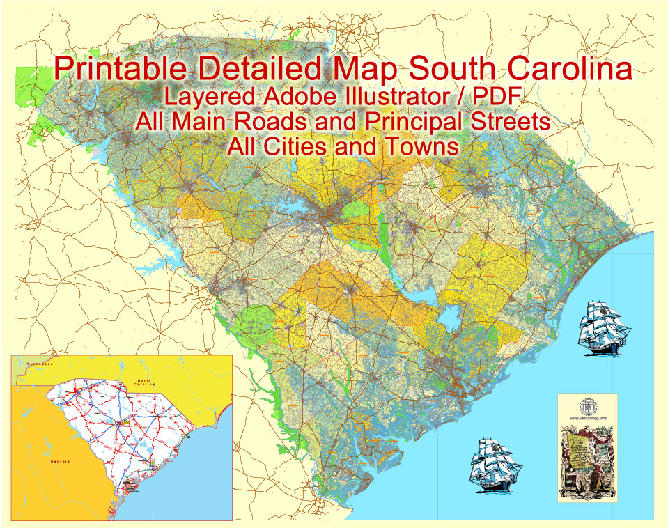
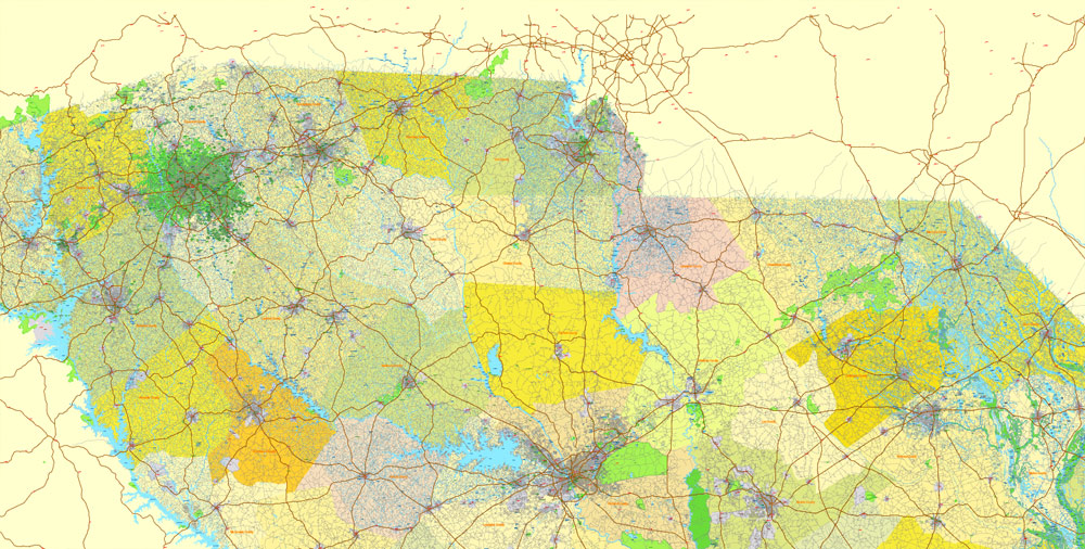
Printable Map South Carolina State, US, exact vector Map Street, Road and Admin Plan, full editable, Adobe Illustrator, full vector, scalable, editable text format street names, 104 mb ZIP
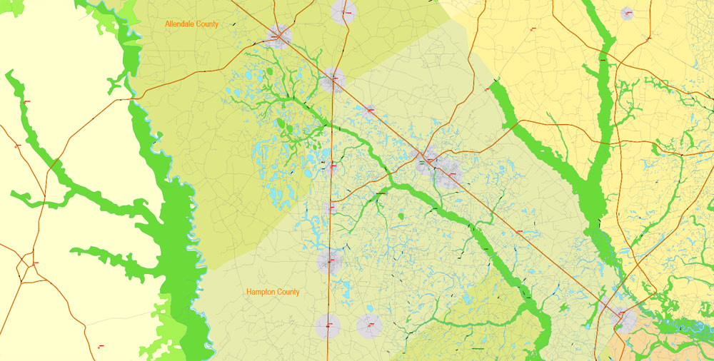
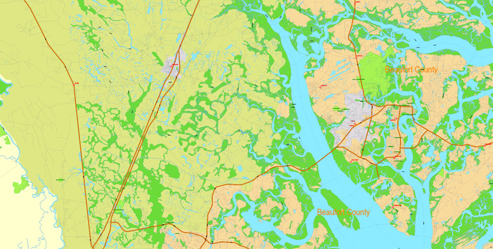
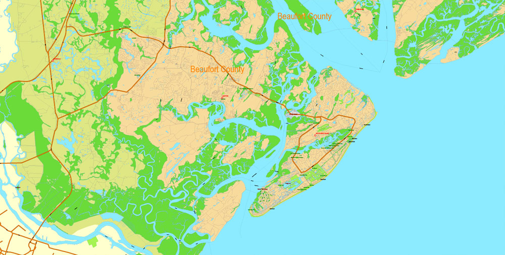
All Major roads, Principal streets, Water objects, Counties. Map for design, printing, arts, projects, presentations, for architects, designers and builders, business, logistics.
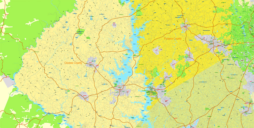
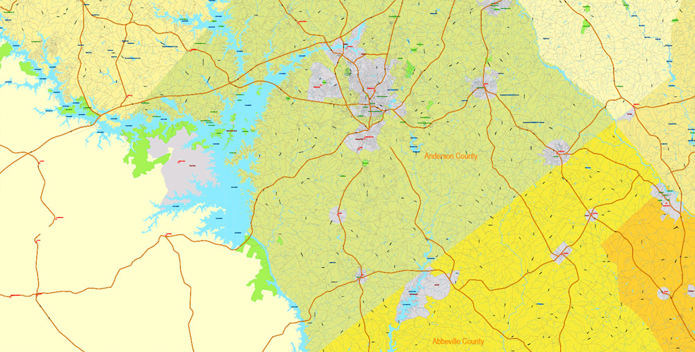
Layers: color fills, streets_roads, objects, names objects, names_streets, names_places, all cities and towns, etc.
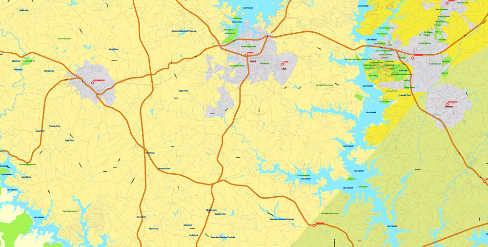
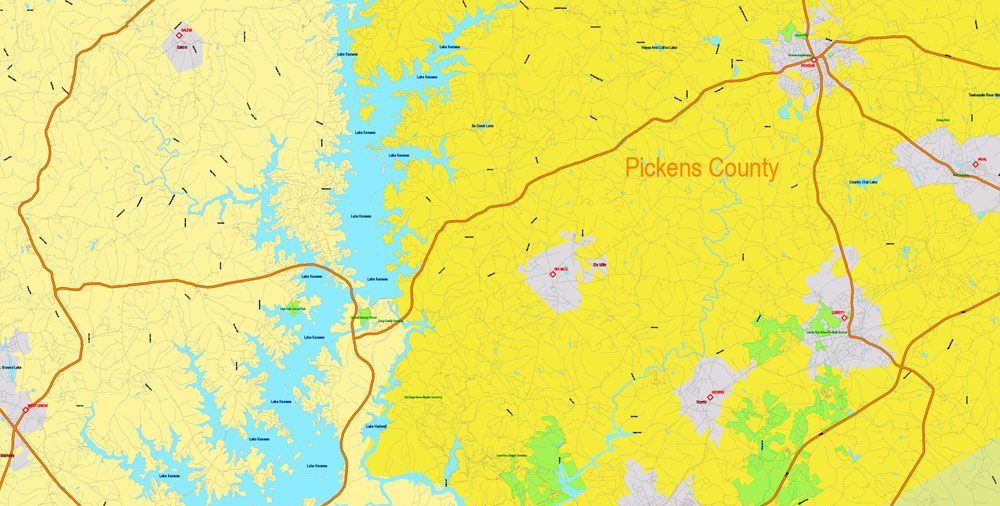
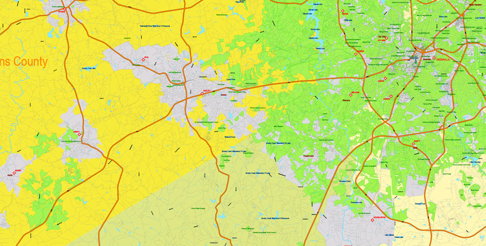
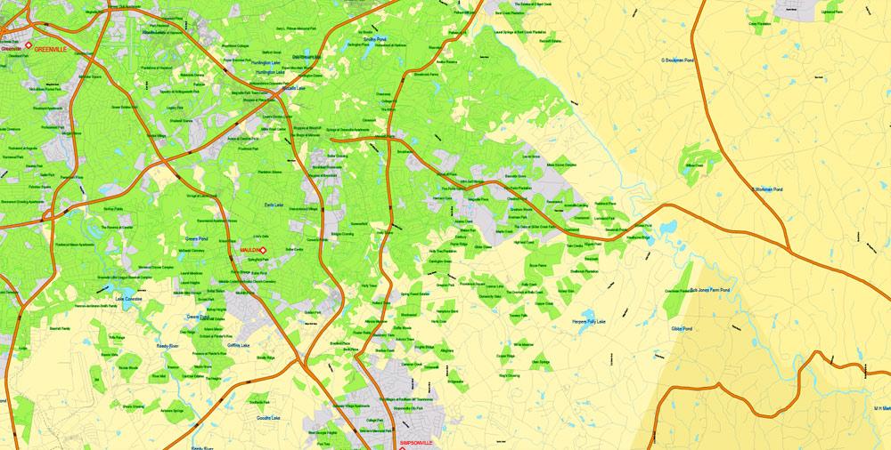
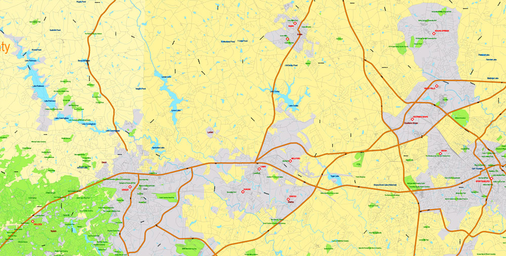
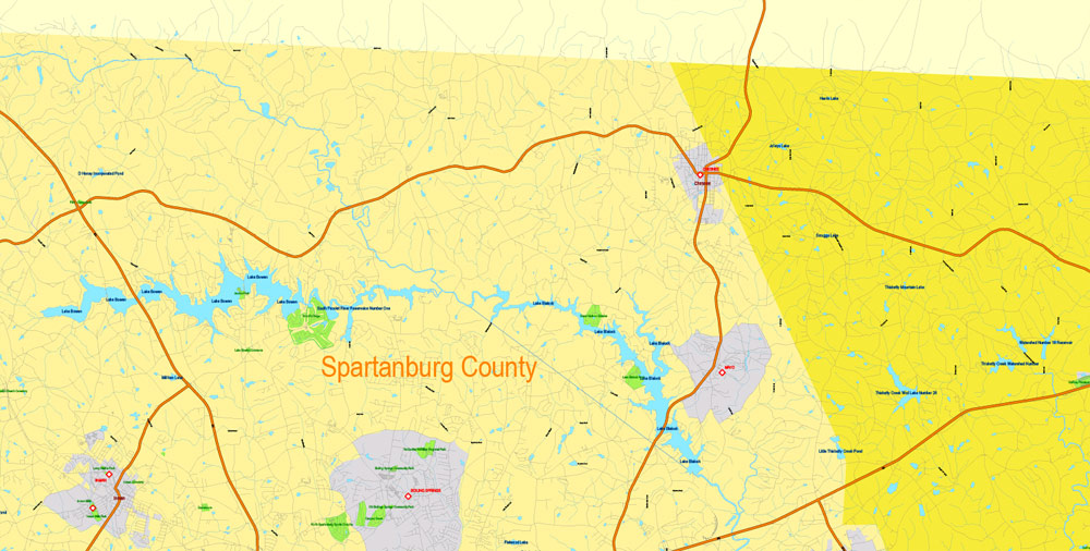
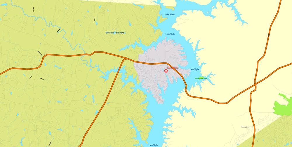
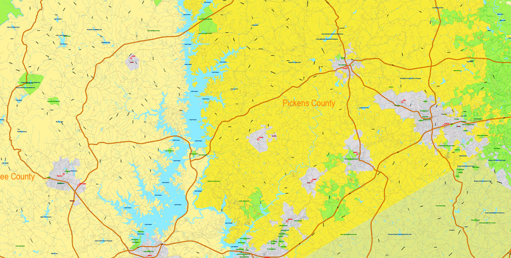
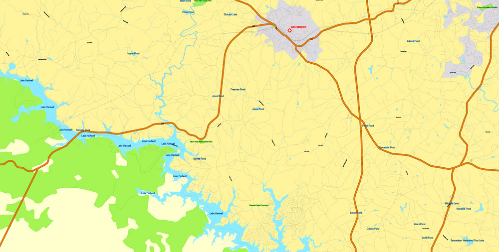
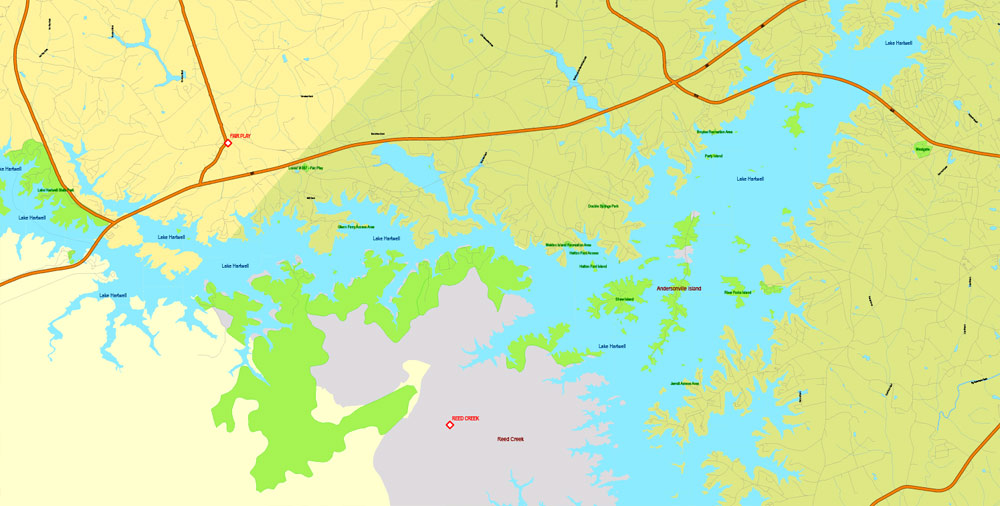
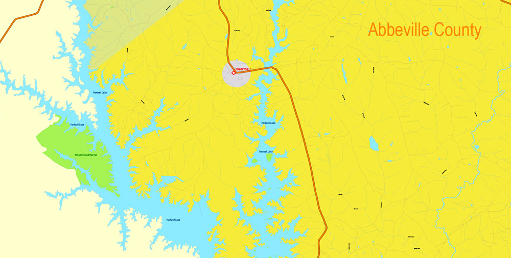
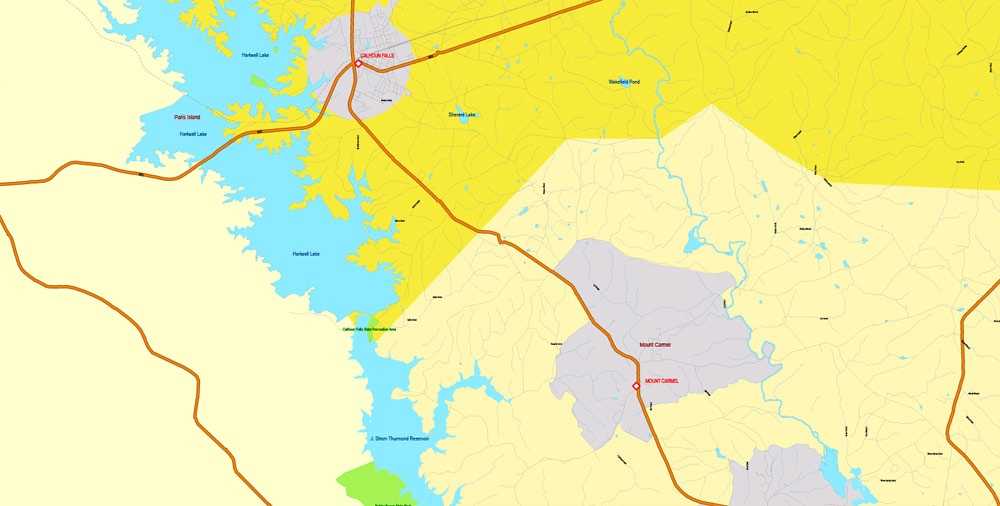
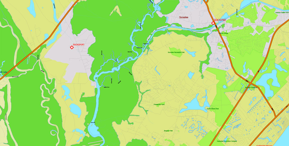
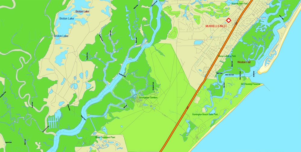
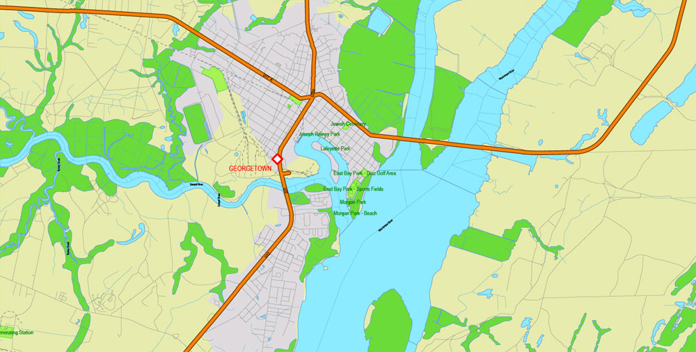
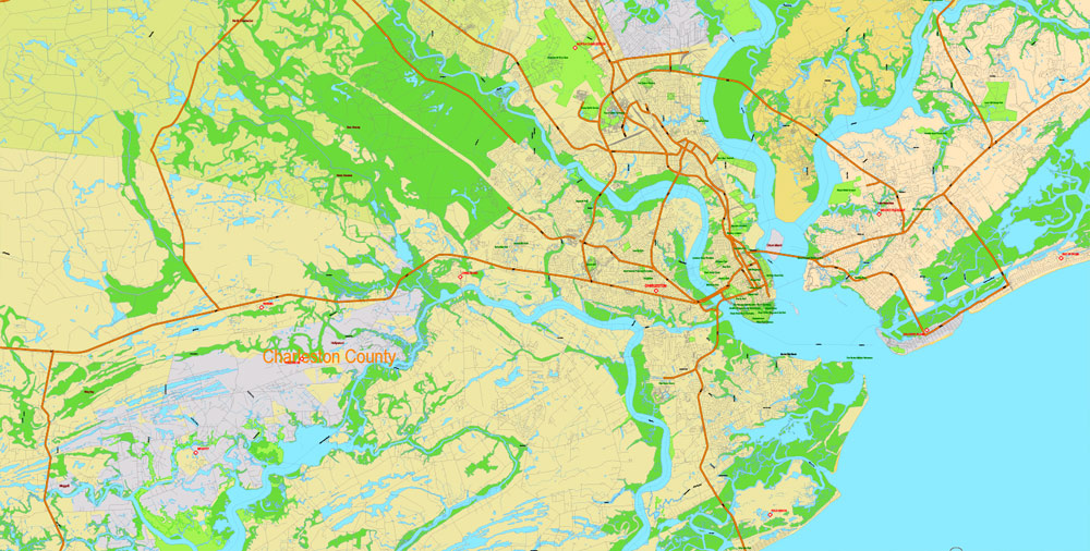
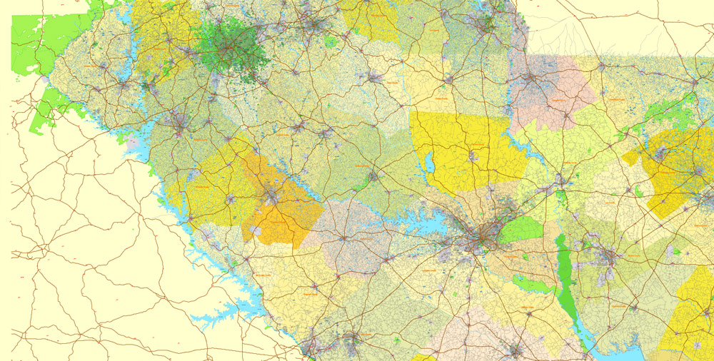
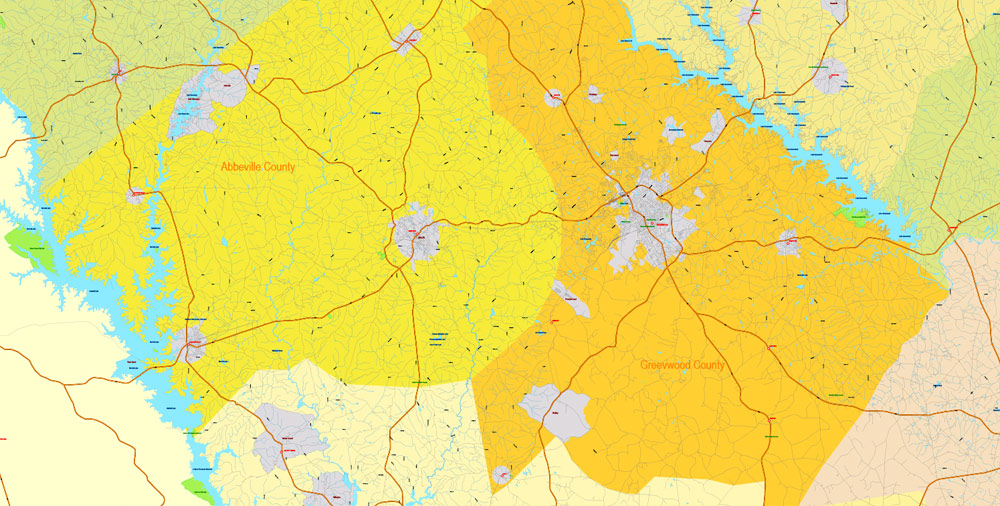
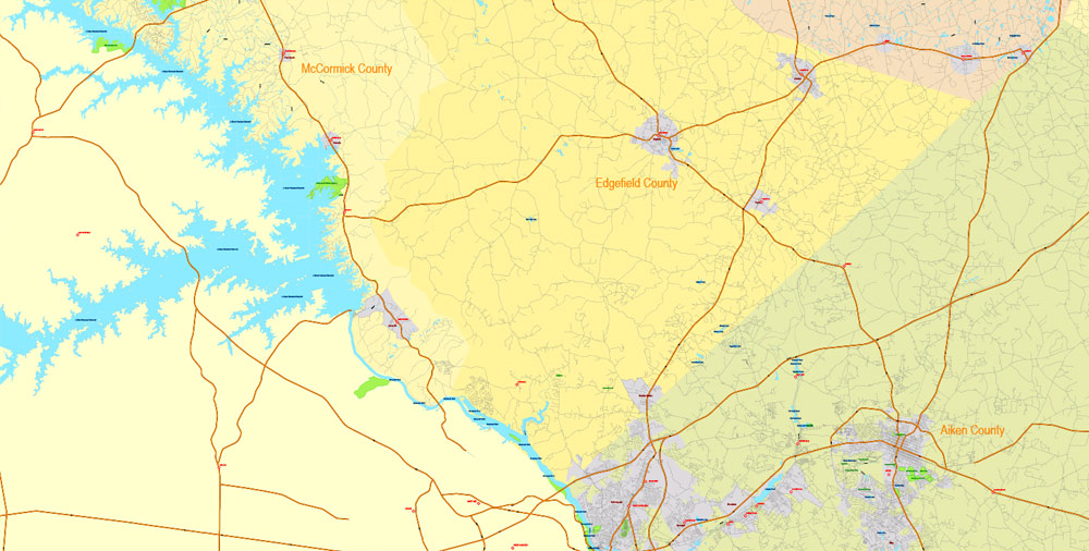
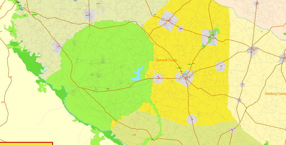
The most exact and detailed map of the State.
For print LARGE (WALL) format.
DWG, DXF, CDR and other formats – on request, same price, please, contact
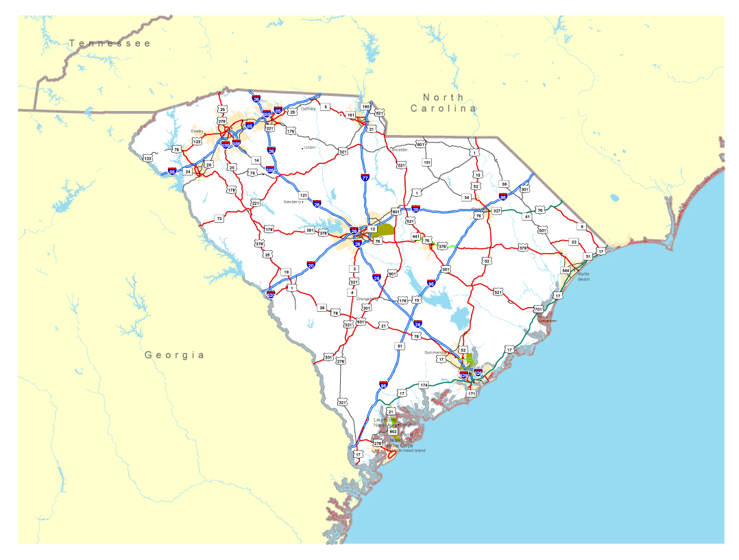
South Carolina state, USA.
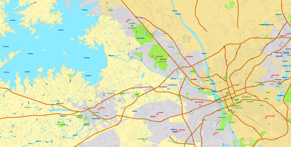
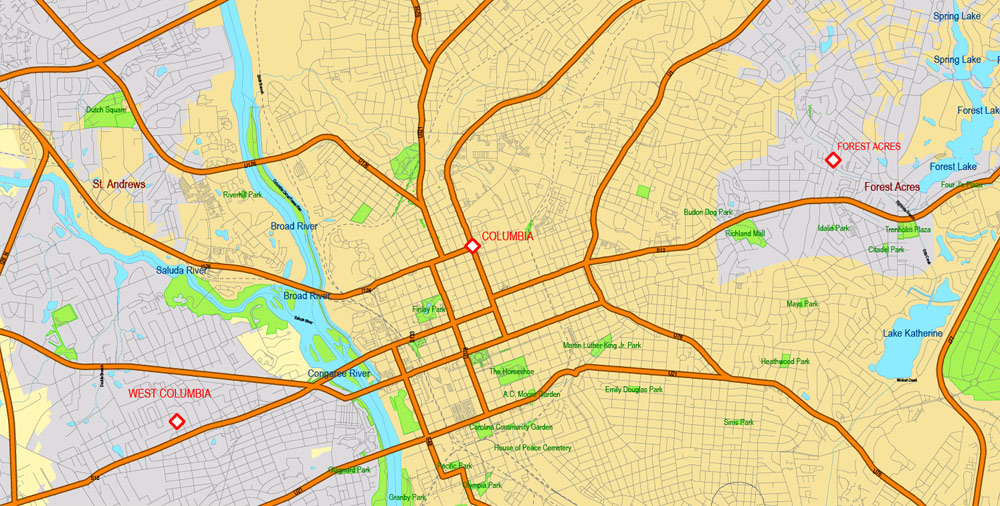
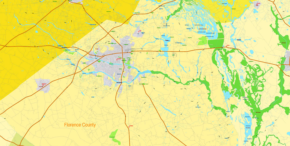
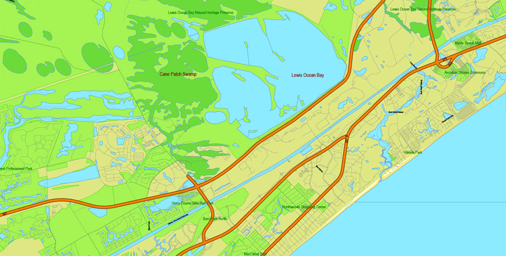
This vector map of South Carolina is used as a basis for design, editing, and further printing.
This is the most detailed, exact map of South Carolina for high-quality printing and polygraphy. You can always clarify the map development date by contacting us.
For your convenience, all objects on South Carolina vector map are divided into layers. And the editing is very easy – colors, lines, etc.
You can easily add any objects needed (e.g. shops, salons, sale points, gas station or attraction) on any layer of South Carolina vector map.
South Carolina is a state in the Southeastern United States and the easternmost of the Deep South. It is bordered to the north by North Carolina, to the southeast by the Atlantic Ocean, and to the southwest by Georgia across the Savannah River.
One of the advantages of South Carolina vector maps of our production is the relevance of cartographic data, we constantly update all our products.
This vector map of South Carolina is used by:
designers, layout designers, printers, advertisers and architects. Our product – vector maps – is designed for further editing and printing in large formats – from @Wall format (a few meters) to A-0 and A-1, A-2, A-3.
The South Carolina map in vector format is used for design, urban planning, presentations and media visualizations.
The advertising and presentation map of South Carolina (usually the final designer marks the routes, and puts the client’s objects (shops, saloons, gas stations etc.)
The undoubted advantage is that people will NEVER throw out this advertising product – the map. In fact, as an advertising medium, a map is the most “long-playing” of the well-known polygraphic advertising media, with the longest lifespan, and the maximum number of interactions with the customer.
For travelers, maps are sold at the airports and gas stations around the world. Often the source is our vector maps.
Take a look, who purchases our vector maps of South Carolina in “Our Clients and Friends” page – these are large and small companies, from super-brands like Volvo and Starbucks, to small design studios and printing houses.
It’s very easy to work with vector maps of South Carolina city, even for a not very experienced designer who can turn on and off the map layers, add new objects, change the colors of fill and lines according to customer requirements.
The undoubted advantage of South Carolina vector maps in printing is an excellent and detailed visualization, when customer can expand a large paper map and instantly define his location, find a landmark, an object or address on map, unlike using the popular electronic formats of Google and Yandex maps for example.
Printable vector maps of South Carolina are much more convenient and efficient than any electronic maps on your smartphone, because ALL DETAILS are displayed in the entire space of South Carolina map.
Useful tips on working with vector maps of cities and countries in Adobe Illustrator.
«V» – launches the Selection tool (cursor, black arrow), which makes active any vector line.
«А» – launches the Direct Selection tool (white cursor), allows you to select curve elements and drag them to the desired place.
«R» – activates the Rotate tool, which helps you rotating selected objects around the center point by 360 degrees.
«E» – gives you the opportunity to use the Eraser tool and erase unnecessary parts.
«X» – switches between Fill and Stroke in the Tools section. Try to get used to this hot key and
you will quickly understand that you can’t live and work without it.
Guides are not limited to vertical and horizontal in Adobe Illustrator. You can also create a diagonal guide for example. Moreover, you can turn any contours into guides. Select the outline and go to View > Guides > Make Guides (Create Guides), or simply press Cmd/Ctrl + 5. You can also turn the guides back into an editable object. Go to menu, View > Guides > Unlock Guides (Release Guides), select the guide you want to edit and select View > Guides > Release Guides (Reset Guides), or just press Cmd/Ctrl + Option / Alt + 5).
South Carolina became the eighth state to ratify the U.S. Constitution on May 23, 1788. South Carolina became the first state to vote in favor of secession from the Union on December 20, 1860. After the American Civil War, it was readmitted into the United States on June 25, 1868.
You will probably want to change the color scheme used on our South Carolina vector map.
To quickly and effectively play with colors.
Of course, you can do it manually, all objects in our South Carolina vector map are divided according to types and layers, and you can easily change the color gamma of vector objects in groups and layers.
But there is more effective way of working with the whole VECTOR MAP of South Carolina and all layers:
The overview dialog «Edit colors»/«Repaint Graphic Object» (this dialog box name can change depending on the context):
If you have selected a part or a layer of South Carolina vector map and open the dialog box by clicking the icon in the Control panel, on the Samples palette or the Color Catalog, or if you choose Edit > Edit Colors> Repaint Graphic Object, then the «Repaint Graphic Object» dialog box appears, and you get access to «Assign» and «Edit» tabs.
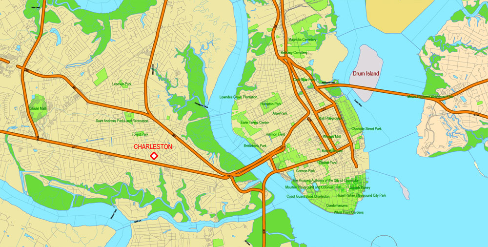
South Carolina is the 40th most extensive and 23rd most populous U.S. state. Its GDP as of 2013 was $183.6 billion, with an annual growth rate of 3.13%. South Carolina is composed of 46 counties. The capital is Columbia with a 2016 population of 134,309; while its largest city is Charleston with a 2016 population of 134,385. The Greenville-Anderson-Mauldin metropolitan area is the largest in the state, with a 2016 population estimate of 884,975.
If a picture or a map fragment is not selected, and you open the dialog box by clicking the icon in the Control panel, on the Samples palette or in the Color Catalog, the «Edit Colors» dialog box appears and you can only access the «Edit» tab.
Regardless of the name at the top of the dialog box, the right-hand side always displays the color group of the current document, as well as two default color groups: Print Color and Grayscale. These color groups can be selected and used any time.
Create and edit color groups of South Carolina vector map, and also assign colors using the «Edit Colors»/ а «Repaint Graphic Object» dialog box.
A. Creating and editing of a color group on the «Edit» tab
B. Assigning colors on the «Assign» tab
C. Select a group of colors from the «Color groups» list
The option «Repaint a graphic object» in the lower part of the dialog box allows you to preview the colors on a selected layer of Vector map, or a group of elements, and specify whether its colors will be redefined when the dialog box is closed.
The main areas of the dialog box are:
«Edit»
The «Edit» tab is designed to create a new or edit the existing color groups.
The harmony rules Menu and the Color Wheel are used to conduct experiments with color harmonies. The color wheel shows how colors are related in color harmony, and the color bars allow you to view and manipulate an individual color values. In addition, you can adjust the brightness, add and remove colors, save color groups and view colors on the selected Vector Map of South Carolina or a separated layers.
«Assign»
The «Assign» tab is used to view and control on how the original colors are replaced with colors from the color group like your corporate colors in the Vector Map of South Carolina city.
The assign color ability is provided only if the entire map, layer or fragment is selected in the document. You can specify which of new colors replace the current colors, whether the spot colors should be preserved and how colors are replaced (for example, you can replace colors completely or changing the color tone while maintaining the brightness). The «Assign» tab allows you to redefine colors in the Vector Map of South Carolina city, or in separate layers and fragments using the current color group or reducing the number of colors in the current Vector Map.
Color groups
Is a list of all saved color groups for current document (the same groups appear in the «Samples» palette). You can edit and delete the existing color groups, as well as creating a new ones using the list of “Color Groups” in the dialog box. All changes appear in the «Samples» palette.
The highlighted color group shows, which color group is currently edited.
Any color group can be selected and edited, or used to redefine the colors in the selected vector map of South Carolina city, its fragments or elements.
Saving a color group adds this group to the specified list.
Opening the «Edit Colors»/«Repaint Graphic Object» dialog box.
Open the «Edit Colors»/«Repaint Graphic Object» dialog box using one of the following methods:
«Edit»> «Edit Colors»> «Repaint Graphic object» or «Repaint With Style».
Use these commands if you need to edit the colors in the selected vector map of South Carolina city.
«Repaint Graphic object» button on the «Control» panel.
Use this button if you need to adjust colors of South Carolina vector map using the а «Repaint graphic object» dialog box.
The specified button is available if the selected vector map or its fragment contains two or more colors.
Note. This color editing method is convenient for global color adjustment in a vector map, if global colors were not used when creating a Map of South Carolina.
The «Edit colors» button or «Edit or apply colors» on the «Color Catalog» palette
Click this button if you need to edit colors on the «Color Catalog» palette or edit and then apply them to the selected Vector Map of South Carolina or its fragment.
The «Edit color group» button or «Edit or apply color group» on the «Samples» palette.
Click this button if you need to edit the colors in the specific color group or edit and apply them to the selected Vector Map of South Carolina or a group of its elements, for example, the whole layer “Streets and lines”. You can also double-click the color group in the Samples panel to open the dialog box.
If the map file is too large and your computer freezes or even can’t open it quickly:
1. Try to reduce the color resolution of the video card (display) to 256 colors while working with a large map.
2. Using Windows Task Manager, select all the application you don’t need, while working with map, just turn them off.
3. Launch Adobe Illustrator. (DO NOT OPEN the vector map file)
4. Start the Windows Task Manager using administrator rights > Find the “Illustrator” process > set the «real time» priority,
5. Open the file. When you see the LEGACY FONT popup window – click “OK” (do not update). You can restore the TEXT later.
6. Can also be useful: When file is opened – Edit > Settings > Basic Settings > disable smoothing. /// It looks scary, but works quickly)))
We recommend saving the file in Adobe Illustrator 10 version. It’s much more stable when working with VERY BIG size files.
South Carolina is named in honor of King Charles I of England, who first formed the English colony, with Carolus being Latin for “Charles”.
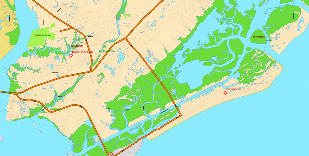
South Carolina is known for its 187 miles of coastline, beautiful lush gardens, historic sites and Southern plantations, colonial, African and European cultures, and its growing economic development.
Geography
The state can be divided into three geographic areas. From east to west: the Atlantic coastal plain, the Piedmont, and the Blue Ridge Mountains. Locally, the coastal plain is referred to as the Low Country and the other two regions as Up Country. The Atlantic Coastal Plain makes up two-thirds of the state. Its eastern border is the Sea Islands, a chain of tidal and barrier islands. The border between the low country and the up country is defined by the Atlantic Seaboard fall line, which marks the limit of navigable rivers.
The state’s coastline contains many salt marshes and estuaries, as well as natural ports such as Georgetown and Charleston. An unusual feature of the coastal plain is a large number of Carolina bays, the origins of which are uncertain. The bays tend to be oval, lining up in a northwest to southeast orientation. The terrain is flat and the soil is composed entirely of recent sediments such as sand, silt, and clay. Areas with better drainage make excellent farmland, though some land is swampy. The natural areas of the coastal plain are part of the Middle Atlantic coastal forests ecoregion.
Just west of the coastal plain is the Sandhills region. The Sandhills are remnants of coastal dunes from a time when the land was sunken or the oceans were higher.
The Upstate region contains the roots of an ancient, eroded mountain chain. It is generally hilly, with thin, stony clay soils, and contains few areas suitable for farming. Much of the Piedmont was once farmed. Due to the changing economics of farming, much of the land is now reforested in Loblolly pine for the lumber industry. These forests are part of the Southeastern mixed forests ecoregion. At the southeastern edge of the Piedmont is the fall line, where rivers drop to the coastal plain. The fall line was an important early source of water power. Mills built to harness this resource encouraged the growth of several cities, including the capital, Columbia. The larger rivers are navigable up to the fall line, providing a trade route for mill towns.
The northwestern part of the Piedmont is also known as the Foothills. The Cherokee Parkway is a scenic driving route through this area. This is where Table Rock State Park is located.
Highest in elevation is the Blue Ridge Region, containing an escarpment of the Blue Ridge Mountains, which continue into North Carolina and Georgia, as part of the southern Appalachian Mountains. Sassafras Mountain, South Carolina’s highest point at 3,560 feet (1,090 m), is in this area. Also in this area is Caesars Head State Park. The environment here is that of the Appalachian-Blue Ridge forests ecoregion. The Chattooga River, on the border between South Carolina and Georgia, is a favorite whitewater rafting destination.


South Carolina
US State
South Carolina is a southeastern U.S. state known for its shoreline of subtropical beaches and marshlike sea islands. Coastal Charleston is a historic city, defined by pastel-colored houses, Old South plantations and Fort Sumter, where the Civil War’s opening shots were fired. To the north is the Grand Strand, a roughly 60-mile stretch of beachfront known for golf courses and the vacation town Myrtle Beach.
Capital: Columbia
Area Ranked 40th
• Total 32,020 sq mi (82,931 km2)
• Width 200 miles (320 km)
• Length 260 miles (420 km)
• % water 6
• Latitude 32° 2′ N to 35° 13′ N
• Longitude 78° 32′ W to 83° 21′ W
Population Ranked 23rd
• Total 4,961,119
• Density 155/sq mi (60.0/km2)
Ranked 19th
• Median household income $46,360[3] (44th)
Elevation
• Highest point Sassafras Mountain[4][5]
3,560 ft (1,085 m)
• Mean 350 ft (110 m)
• Lowest point Atlantic Ocean
sea level
Free vector maps:
 Free vector map download AI sc_southcarolina_free_ai-ai
Free vector map download PDF sc_southcarolina_free_pdf-pdf

Free Download Vector Map US County and State Adobe Illustrator
Free_Vector_Map_US_States_County_Map.ai
Free Download Vector Map US County and State Adobe PDF
Free_Vector_Map_US_States_County_Map.pdf

Free Download Vector Map US With States Names, Adobe Illustrator
Free_Map_of_USA_with_state_names_en.ai
Free Download Vector Map US With States Names, Adobe PDF
Free_Map_of_USA_with_state_names_en.pdf
From WIKI
Free vector map World, Adobe Illustrator, download now maps vector clipart
Map for design, projects, presentation free to use as you like.
See also: TERMS & CONDITIONS: SOFTWARE LICENSE AGREEMENT FOR DIGITAL CARTOGRAPHIC DATA.
Need more USA Vector Maps, printable and editable?

 Author: Kirill Shrayber, Ph.D. FRGS

