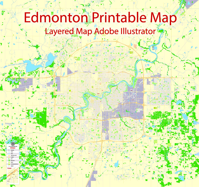
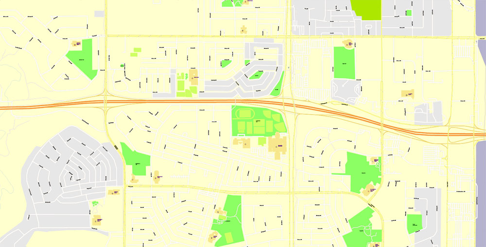
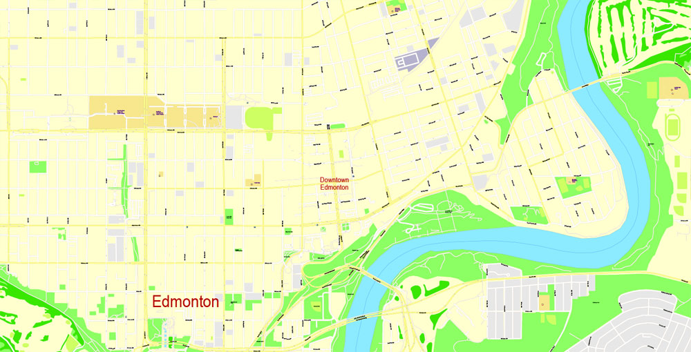
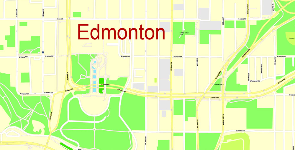
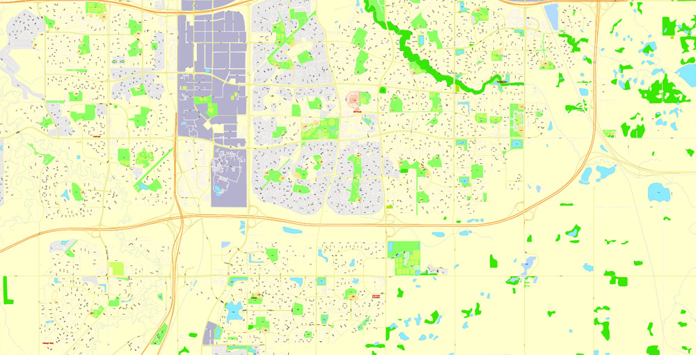
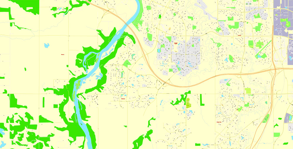
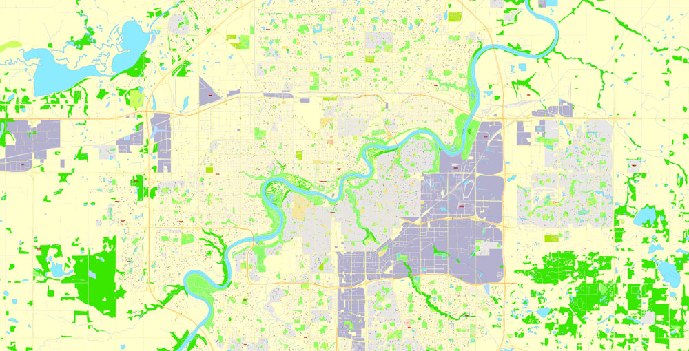
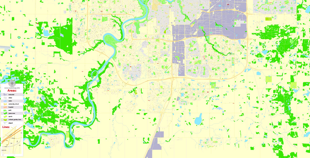
Printable Map Edmonton, Canada, exact Map City Plan Level G-View 17 (100 meters scale) full editable, Adobe Illustrator, full vector, scalable, editable text format street names, 10 mb ZIP
All streets named, Main Objects, NO buildings. Map for design, printing, arts, projects, presentations, for architects, designers and builders, business, logistics.
Layers: color_fills , streets_roads, arrows_streets, labels_roads, objects (parks, water objects, hospitals, schools), names_objects 1, names_streets, names_places, grids, legend.
The most exact and detailed map of the city.
For print LARGE (WALL) format.
DWG, DXF, CDR and other formats – on request, same price, please, contact
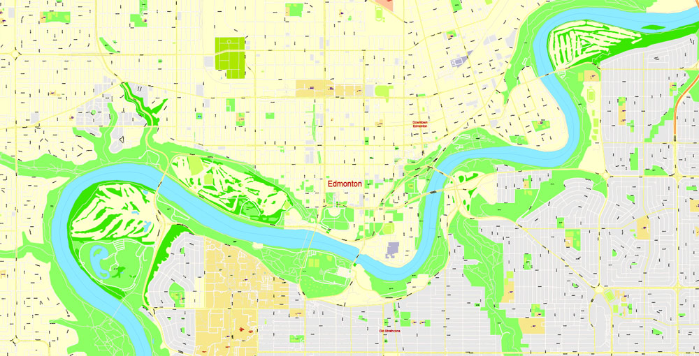
Edmonton, Canada.
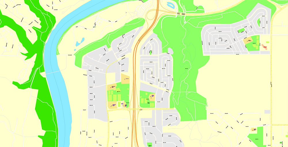
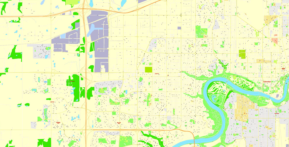
This vector map of Edmonton city is used as a basis for design, editing, and further printing.
This is the most detailed, exact map of Edmonton city for high-quality printing and polygraphy. You can always clarify the map development date by contacting us.
For your convenience, all objects on Edmonton vector city map are divided into layers. And the editing is very easy – colors, lines, etc.
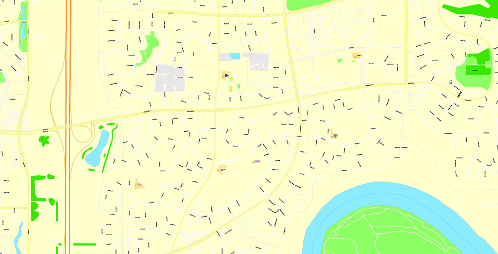
You can easily add any objects needed (e.g. shops, salons, sale points, gas station or attraction) on any layer of Edmonton vector map.
Edmonton is the capital city of the Canadian province of Alberta. Edmonton is on the North Saskatchewan River and is the centre of the Edmonton Metropolitan Region, which is surrounded by Alberta’s central region. The city anchors the north end of what Statistics Canada defines as the “Calgary–Edmonton Corridor”.
One of the advantages of Edmonton city vector maps of our production is the relevance of cartographic data, we constantly update all our products.
This vector map of Edmonton city is used by:
designers, layout designers, printers, advertisers and architects. Our product – vector maps – is designed for further editing and printing in large formats – from @Wall format (a few meters) to A-0 and A-1, A-2, A-3.
The Edmonton city map in vector format is used for design, urban planning, presentations and media visualizations.
The advertising and presentation map of Edmonton city (usually the final designer marks the routes, and puts the client’s objects (shops, saloons, gas stations etc.)
The undoubted advantage is that people will NEVER throw out this advertising product – the map. In fact, as an advertising medium, a city map is the most “long-playing” of the well-known polygraphic advertising media, with the longest lifespan, and the maximum number of interactions with the customer.
For travelers, maps are sold at the airports and gas stations around the world. Often the source is our vector maps.

Take a look, who purchases our vector maps of Edmonton city in “Our Clients and Friends” page – these are large and small companies, from super-brands like Volvo and Starbucks, to small design studios and printing houses.
It’s very easy to work with vector maps of Edmonton city, even for a not very experienced designer who can turn on and off the map layers, add new objects, change the colors of fill and lines according to customer requirements.
The undoubted advantage of Edmonton city vector maps in printing is an excellent and detailed visualization, when customer can expand a large paper map and instantly define his location, find a landmark, an object or address on map, unlike using the popular electronic formats of Google and Yandex maps for example.
Printable vector maps of Edmonton city are much more convenient and efficient than any electronic maps on your smartphone, because ALL DETAILS are displayed in the entire space of Edmonton city map.
The city had a population of 932,546 in 2016, making it Alberta’s second-largest city and Canada’s fifth-largest municipality. Also in 2016, Edmonton had a metropolitan population of 1,321,426, making it the sixth-largest census metropolitan area (CMA) in Canada. Edmonton is North America’s northernmost metropolitan area with a population over one million. A resident of Edmonton is known as an Edmontonian.
Useful tips on working with vector maps of cities and countries in Adobe Illustrator.
«V» – launches the Selection tool (cursor, black arrow), which makes active any vector line.
«А» – launches the Direct Selection tool (white cursor), allows you to select curve elements and drag them to the desired place.
«R» – activates the Rotate tool, which helps you rotating selected objects around the center point by 360 degrees.
«E» – gives you the opportunity to use the Eraser tool and erase unnecessary parts.
«X» – switches between Fill and Stroke in the Tools section. Try to get used to this hot key and
you will quickly understand that you can’t live and work without it.
Guides are not limited to vertical and horizontal in Adobe Illustrator. You can also create a diagonal guide for example. Moreover, you can turn any contours into guides. Select the outline and go to View > Guides > Make Guides (Create Guides), or simply press Cmd/Ctrl + 5. You can also turn the guides back into an editable object. Go to menu, View > Guides > Unlock Guides (Release Guides), select the guide you want to edit and select View > Guides > Release Guides (Reset Guides), or just press Cmd/Ctrl + Option / Alt + 5).
Edmonton’s historic growth has been facilitated through the absorption of five adjacent urban municipalities (Strathcona, North Edmonton, West Edmonton, Beverly and Jasper Place) and a series of annexations ending in 1982. Known as the “Gateway to the North”, the city is a staging point for large-scale oil sands projects occurring in northern Alberta and large-scale diamond mining operations in the Northwest Territories.
You will probably want to change the color scheme used on our Edmonton vector city map.
To quickly and effectively play with colors.
Of course, you can do it manually, all objects in our Edmonton city vector map are divided according to types and layers, and you can easily change the color gamma of vector objects in groups and layers.
But there is more effective way of working with the whole VECTOR MAP of Edmonton city and all layers:
The overview dialog «Edit colors»/«Repaint Graphic Object» (this dialog box name can change depending on the context):
If you have selected a part or a layer of Edmonton city vector map and open the dialog box by clicking the icon in the Control panel, on the Samples palette or the Color Catalog, or if you choose Edit > Edit Colors> Repaint Graphic Object, then the «Repaint Graphic Object» dialog box appears, and you get access to «Assign» and «Edit» tabs.
Edmonton is a cultural, governmental and educational centre. It hosts a year-round slate of festivals, reflected in the nickname “Canada’s Festival City”. It is home to North America’s largest mall, West Edmonton Mall (the world’s largest mall from 1981 until 2004), and Fort Edmonton Park, Canada’s largest living history museum.
If a picture or a map fragment is not selected, and you open the dialog box by clicking the icon in the Control panel, on the Samples palette or in the Color Catalog, the «Edit Colors» dialog box appears and you can only access the «Edit» tab.
Regardless of the name at the top of the dialog box, the right-hand side always displays the color group of the current document, as well as two default color groups: Print Color and Grayscale. These color groups can be selected and used any time.
Create and edit color groups of Edmonton city vector map, and also assign colors using the «Edit Colors»/ а «Repaint Graphic Object» dialog box.
A. Creating and editing of a color group on the «Edit» tab
B. Assigning colors on the «Assign» tab
C. Select a group of colors from the «Color groups» list
The option «Repaint a graphic object» in the lower part of the dialog box allows you to preview the colors on a selected layer of Vector map, or a group of elements, and specify whether its colors will be redefined when the dialog box is closed.
Geography
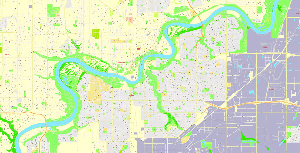
Edmonton is located on the North Saskatchewan River, at an elevation of 671 metres (2,201 ft). Edmonton is the most northerly city in North America with a metropolitan population of over one million. It is at the same latitude as Hamburg (Germany), Dublin (Ireland), Manchester (United Kingdom), and Magnitogorsk (Russia). North as it is, it is south of the geographic centre of Alberta, which is located near the Hamlet of Fort Assiniboine. The terrain in and around Edmonton is generally flat to gently rolling, with ravines and deep river valleys, such as the North Saskatchewan River valley. The Canadian Rockies are located about 220 km (140 mi) to the southwest.
The main areas of the dialog box are:
«Edit»
The «Edit» tab is designed to create a new or edit the existing color groups.
The harmony rules Menu and the Color Wheel are used to conduct experiments with color harmonies. The color wheel shows how colors are related in color harmony, and the color bars allow you to view and manipulate an individual color values. In addition, you can adjust the brightness, add and remove colors, save color groups and view colors on the selected Vector Map of Edmonton city or a separated layers.
«Assign»
The «Assign» tab is used to view and control on how the original colors are replaced with colors from the color group like your corporate colors in the Vector Map of Edmonton city.
The North Saskatchewan River originates at the Columbia Icefield in Jasper National Park and bisects the city. Before the construction of two reservoirs near the mountains, it would sometimes flood Edmonton’s river valley, most notably in the North Saskatchewan River flood of 1915. It empties via the Saskatchewan River, Lake Winnipeg, and the Nelson River into Hudson Bay.
The assign color ability is provided only if the entire map, layer or fragment is selected in the document. You can specify which of new colors replace the current colors, whether the spot colors should be preserved and how colors are replaced (for example, you can replace colors completely or changing the color tone while maintaining the brightness). The «Assign» tab allows you to redefine colors in the Vector Map of Edmonton city, or in separate layers and fragments using the current color group or reducing the number of colors in the current Vector Map.
Color groups
Is a list of all saved color groups for current document (the same groups appear in the «Samples» palette). You can edit and delete the existing color groups, as well as creating a new ones using the list of “Color Groups” in the dialog box. All changes appear in the «Samples» palette.
The highlighted color group shows, which color group is currently edited.
Any color group can be selected and edited, or used to redefine the colors in the selected vector map of Edmonton city, its fragments or elements.
Metropolitan area
Edmonton is at the centre of Canada’s sixth largest census metropolitan area (CMA), which includes Edmonton and 34 other municipalities in the surrounding area. Larger urban communities include Sherwood Park (an urban service area within Strathcona County), the cities of St. Albert, Leduc, Spruce Grove and Fort Saskatchewan, and the towns of Stony Plain, Beaumont, Morinville, and Devon. Major employment areas outside of Edmonton but within the CMA include the Nisku Industrial Business Park and the Edmonton International Airport (including a planned inland port logistics support facility in support of the Port Alberta initiative) in Leduc County, the Acheson Industrial Area in Parkland County, Refinery Row in Strathcona County and Alberta’s Industrial Heartland within portions of Fort Saskatchewan, Strathcona County and Sturgeon County. Alberta’s Industrial Heartland also extends beyond the CMA’s northeastern boundary into a portion of Lamont County.
Saving a color group adds this group to the specified list.
Opening the «Edit Colors»/«Repaint Graphic Object» dialog box.
Open the «Edit Colors»/«Repaint Graphic Object» dialog box using one of the following methods:
«Edit»> «Edit Colors»> «Repaint Graphic object» or «Repaint With Style».
Use these commands if you need to edit the colors in the selected vector map of Edmonton city.
«Repaint Graphic object» button on the «Control» panel.
Use this button if you need to adjust colors of Edmonton city vector map using the а «Repaint graphic object» dialog box.
The specified button is available if the selected vector map or its fragment contains two or more colors.
Note. This color editing method is convenient for global color adjustment in a vector map, if global colors were not used when creating a City Map of Edmonton.
The «Edit colors» button or «Edit or apply colors» on the «Color Catalog» palette
Click this button if you need to edit colors on the «Color Catalog» palette or edit and then apply them to the selected Vector Map of Edmonton city or its fragment.
The individual economic development interests and costs of service delivery in certain municipalities within the region has led to intermunicipal competition, strained intermunicipal relationships and overall fragmentation of the region. Although several attempts have been made by the City of Edmonton to absorb surrounding municipalities or annex portions of its neighbours, the city has not absorbed another municipality since the Town of Jasper Place joined Edmonton on August 17, 1964, and the city has not annexed land from any of its neighbours since January 1, 1982.
The «Edit color group» button or «Edit or apply color group» on the «Samples» palette.
Click this button if you need to edit the colors in the specific color group or edit and apply them to the selected Vector Map of Edmonton city or a group of its elements, for example, the whole layer “Streets and lines”. You can also double-click the color group in the Samples panel to open the dialog box.
If the map file is too large and your computer freezes or even can’t open it quickly:
1. Try to reduce the color resolution of the video card (display) to 256 colors while working with a large map.
2. Using Windows Task Manager, select all the application you don’t need, while working with map, just turn them off.
3. Launch Adobe Illustrator. (DO NOT OPEN the vector map file)
4. Start the Windows Task Manager using administrator rights > Find the “Illustrator” process > set the «real time» priority,
5. Open the file. When you see the LEGACY FONT popup window – click “OK” (do not update). You can restore the TEXT later.
6. Can also be useful: When file is opened – Edit > Settings > Basic Settings > disable smoothing. /// It looks scary, but works quickly)))
We recommend saving the file in Adobe Illustrator 10 version. It’s much more stable when working with VERY BIG size files.
After years of mounting pressure in the early 21st century, the Province of Alberta formed the Capital Region Board (CRB) on April 15, 2008. The CRB consists of 24 member municipalities – 22 of which are within the Edmonton CMA and two of which are outside the CMA. The City of Edmonton subsequently announced in March 2013 its intent to annex 156 square kilometres of land (including the Edmonton International Airport) from Leduc County.

On November 30, 2016, the City of Edmonton and Leduc County came to an agreement on Edmonton’s annexation proposal. The City of Edmonton will annex 29,900 acres (121 km2) of land from Leduc County and Beaumont, including the Edmonton International Airport, as a result.
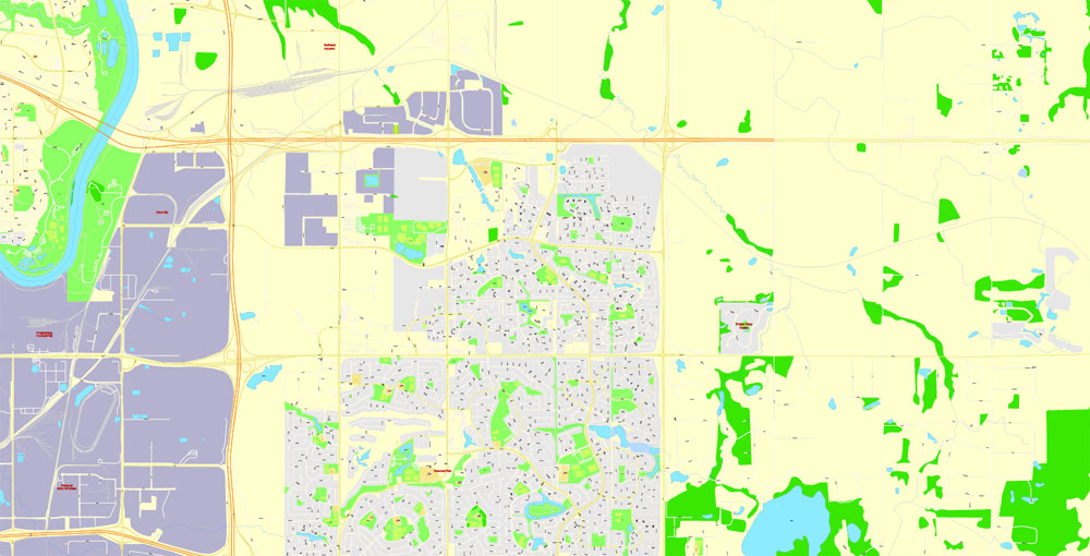
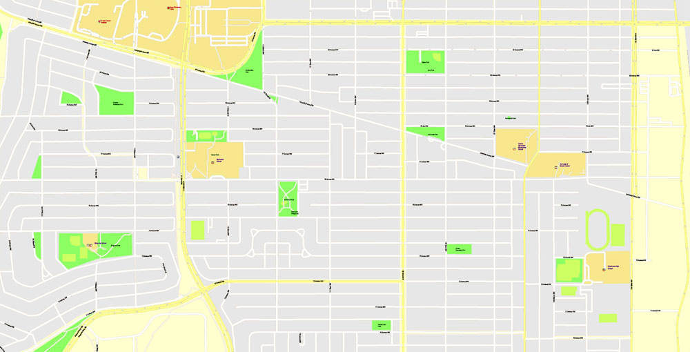
Neighbourhoods
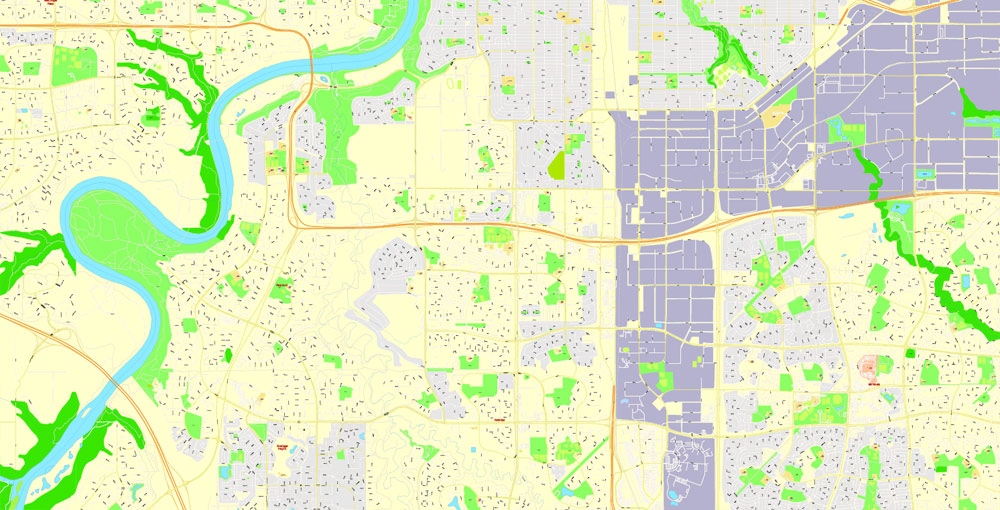
Edmonton is divided into 375 neighbourhoods within 7 geographic sectors – a mature area sector, which includes neighbourhoods that were essentially built out prior to 1970, and 6 surrounding suburban sectors.
Edmonton’s Downtown is located within the city’s mature area or inner city. It and the surrounding Boyle Street, Central McDougall, Cloverdale, Garneau, McCauley, Oliver, Queen Mary Park, Riverdale, Rossdale, Strathcona and University of Alberta form Edmonton’s Central Core. Oliver and Garneau are the city’s most populated and most densely populated neighbourhoods respectively. The mature area sector also contains the five former urban municipalities annexed by the city over its history – Beverly, Jasper Place, North Edmonton, Strathcona and West Edmonton (Calder).
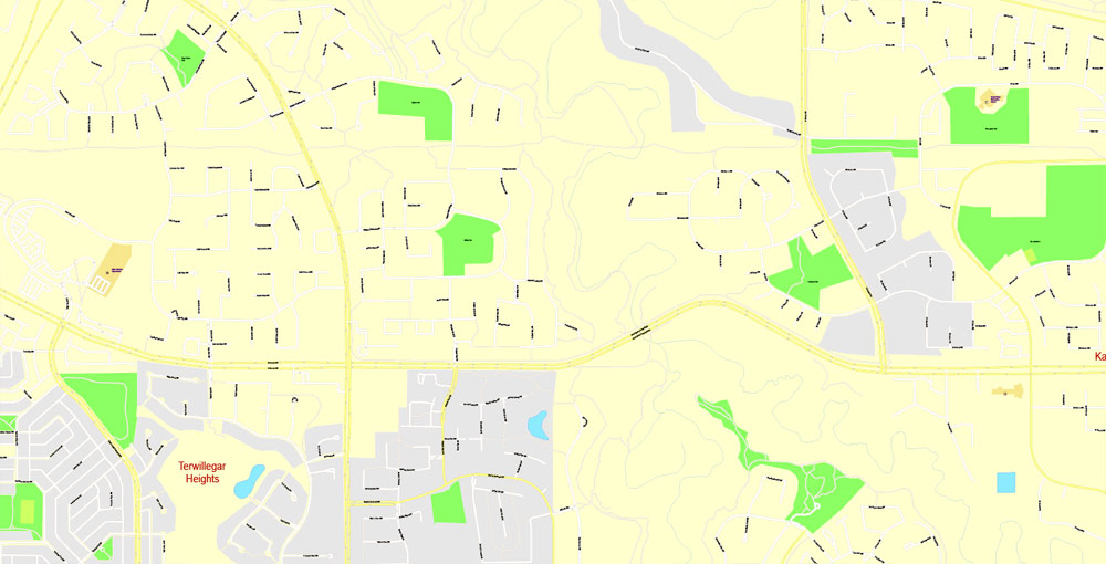
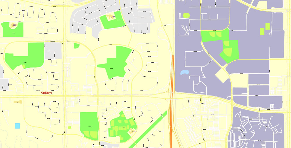
Larger residential areas within Edmonton’s six suburban sectors, each comprising multiple neighbourhoods, include: Heritage Valley, Kaskitayo, Riverbend, Terwillegar Heights and Windermere (southwest sector); The Grange, Lewis Farms and West Jasper Place (west sector); Big Lake (northwest sector); Castle Downs, Lake District and The Palisades (north sector); Casselman-Steele Heights, Clareview, Hermitage, Londonderry and Pilot Sound (northeast sector); and Ellerslie, The Meadows, Mill Woods and Southeast Edmonton (southeast sector). Mill Woods is divided into a town centre community (Mill Woods Town Centre) and eight surrounding communities – Burnewood, Knottwood, Lakewood, Millbourne, Millhurst, Ridgewood, Southwood, and Woodvale – each having between two and four neighbourhoods.

Several transit-oriented developments (TOD) have begun to appear along the LRT line at Clareview, with future developments planned at Belvedere (part of the Old Town Fort Road Redevelopment Project). Another TOD, called Century Park, is being constructed at the site of what was once Heritage Mall, at the southern end of the LRT line. Century Park will eventually house up to 5,000 residents.
The Edmonton City Centre Airport is planned to be redeveloped into a sustainable community of 30,000 people comprising a transit-oriented mixed use town centre, townhouses, low, medium and high rise apartments, neighbourhood retail and service uses, and a major park.
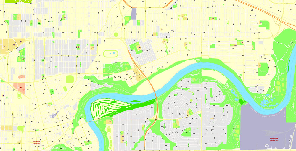
Edmonton has four major industrial districts – the Northwest Industrial District, the Northeast Industrial District, the Southeast Industrial District and the emerging Edmonton Energy and Technology Park, which is part of Alberta’s Industrial Heartland. The northwest, northeast and southeast districts each have smaller industrial areas and neighbourhoods within them.
The city has established 12 business revitalization zones – 124 Street and Area, Alberta Avenue, Beverly, Downtown, Chinatown and Little Italy, Fort Road and Area, Inglewood, Kingsway, North Edge, Northwest Industrial, Old Strathcona and Stony Plain Road.


Edmonton
City in Alberta, Canada
Edmonton, capital of Canada’s Alberta province, sits on the North Saskatchewan River. Its past is recreated at Fort Edmonton Park, a living history museum with an 1846 fort and streets from 1885, 1905 and 1920. The city’s contemporary landmarks include the Royal Alberta Museum, with aboriginal-culture and natural-history galleries, and the futuristic-looking Art Gallery of Alberta, known for its First Nations art.
Area
• Land 685.25 km2 (264.58 sq mi)
• Urban 572.69 km2 (221.12 sq mi)
• Metro 9,438.86 km2 (3,644.36 sq mi)
Elevation 645 m (2,116 ft)
Population
• City 932,546
• Density 1,360.9/km2 (3,525/sq mi)
• Urban 1,062,643
• Urban density 1,855.5/km2 (4,806/sq mi)
• Metro 1,321,426 (6th)
• Metro density 140.0/km2 (363/sq mi)
• Municipal census 899,447[9]
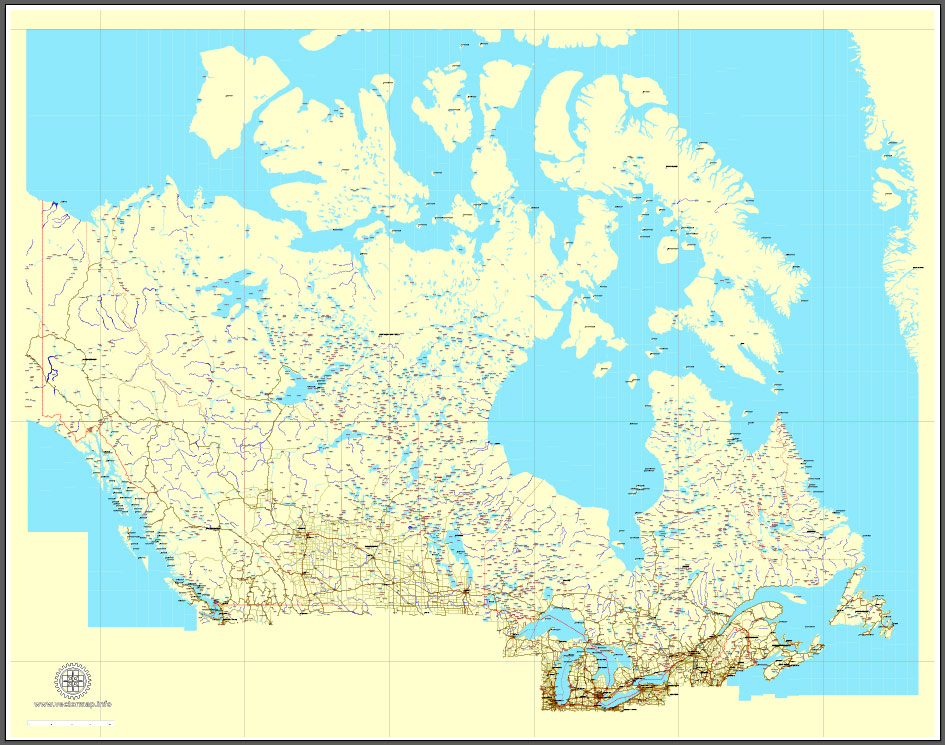
Download Free vector Map Canada, mainroads, cities, borders, province borders, Adobe Illustrator Text format street names, full editable, Layers: grownd, nombres, borders, symbols, halo
vector_map_canada_mainroads_mercator_projection_ai-ai
Download Free PDF Map Canada, mainroads, cities, borders, province borders, Adobe PDF Text format street names, full editable, Layers: grownd, nombres, borders, symbols, halo
vector_map_canada_mainroads_mercator_projection_pdf-pdf
Small guide: How to work with the vector map?
You can: Mass select objects by type and color – for example, the objects type “building” (they are usually dark gray) – and remove them from the map, if you do not need them in your print or design project. You can also easily change the thickness of lines (streets), just bulk selection the road by the line color.
The streets are separated by type, for example, type “residential road” are usually white with a gray stroke. Highway usually orange with a brown or dark gray stroke.
It is easy to change the font of inscriptions, all or each individually. Also, just can be make and any other manipulation of objects on the vector map in Adobe illustrator format.
Important: All the proportions on the map are true, that is, the relative sizes of the objects are true, because Map is based on an accurate GPS projection, and It transated into the (usual for all) the Mercator projection.
You can easily change the color, stroke and fill of any object on the map, zoom without loss of quality Image Verification.
Select object

Bulk selection the same objects on the vector map

See the bulk selected objects on the vector map

Bulk delete buildungs from the vector map

Select residencial road (small street) on the vector map

Bulk selection the same lines (streets, roads) on the full map

Create fat lines of the streets on the vector maps (bulk action) 1

Create fat lines of the streets on the vector maps (bulk action) 2

Create fat lines of the streets on the vector maps (bulk action) 3

You can easily change the color, stroke and fill of any object on the map, zoom without loss of quality Image Verification.
Free vector map World, Adobe Illustrator, download now maps vector clipart
Map for design, projects, presentation free to use as you like.
See also: TERMS & CONDITIONS: SOFTWARE LICENSE AGREEMENT FOR DIGITAL CARTOGRAPHIC DATA.
Need more USA Vector Maps, printable and editable?

 Author: Kirill Shrayber, Ph.D. FRGS

 Street Map editable Adobe Illustrator in layers")
 Street Map editable Adobe Illustrator in layers")