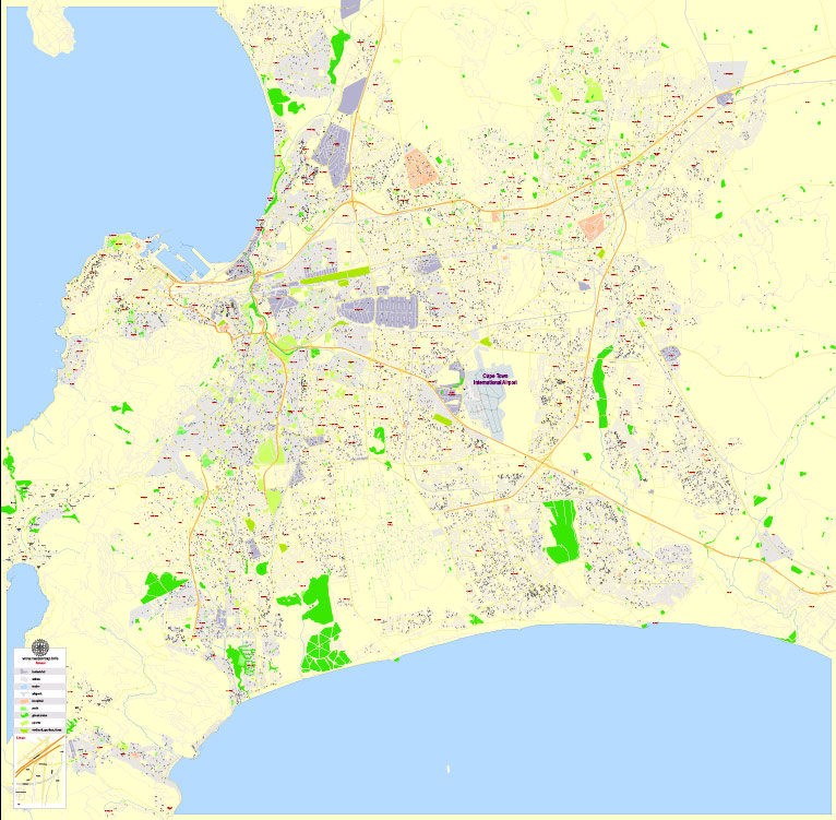
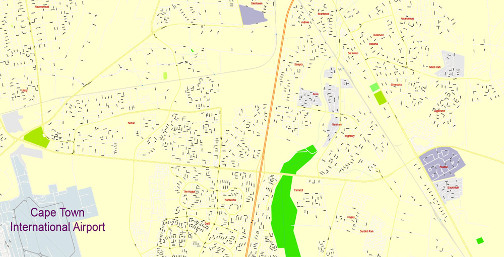
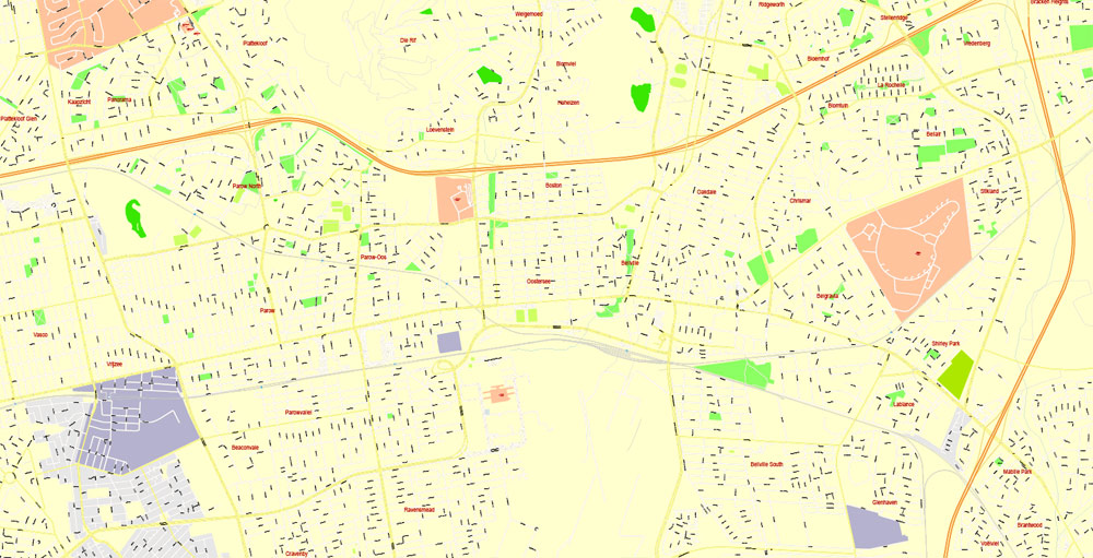
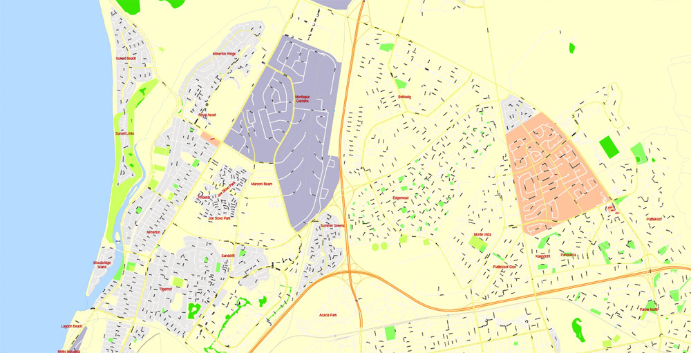
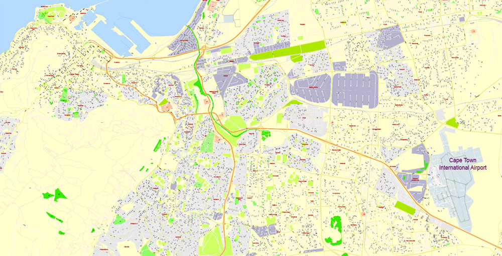
Printable Map Cape Town, South Africa, exact vector Map street G-View Plan of the City full editable, Adobe Illustrator, full vector, scalable, editable text format street names, 11 mb ZIP
All streets, No buildings. Map for design, printing, arts, projects, presentations, for architects, designers and builders, business, logistics.
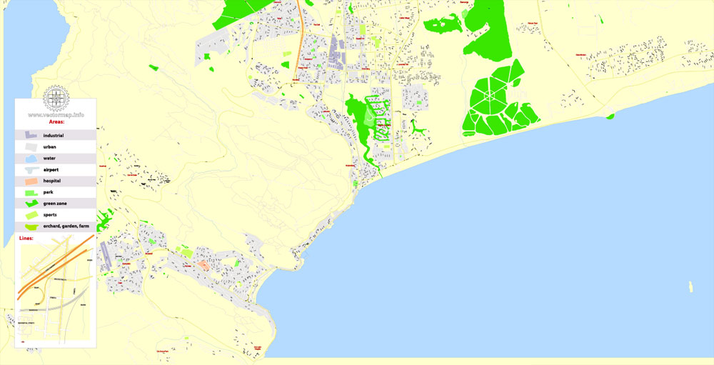
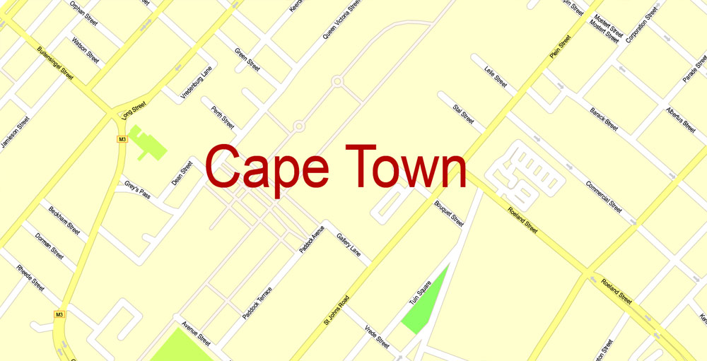
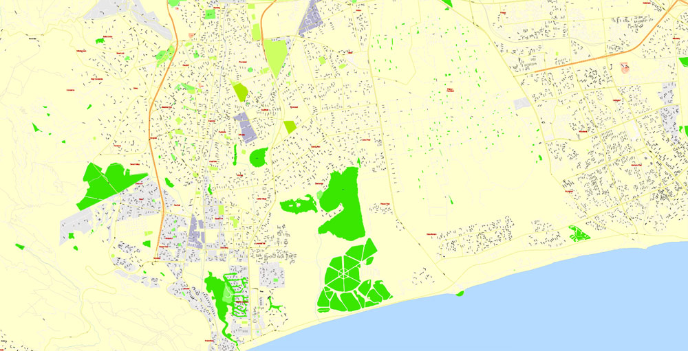
Layers: color fills, streets_roads, arrows_streets, labels_roads, objects, names objects, names_streets, names_places, grids, legend.
The most exact and detailed map of the city.
DWG, DXF, CDR and other formats – on request, same price, please, contact
Cape Town, South Africa.
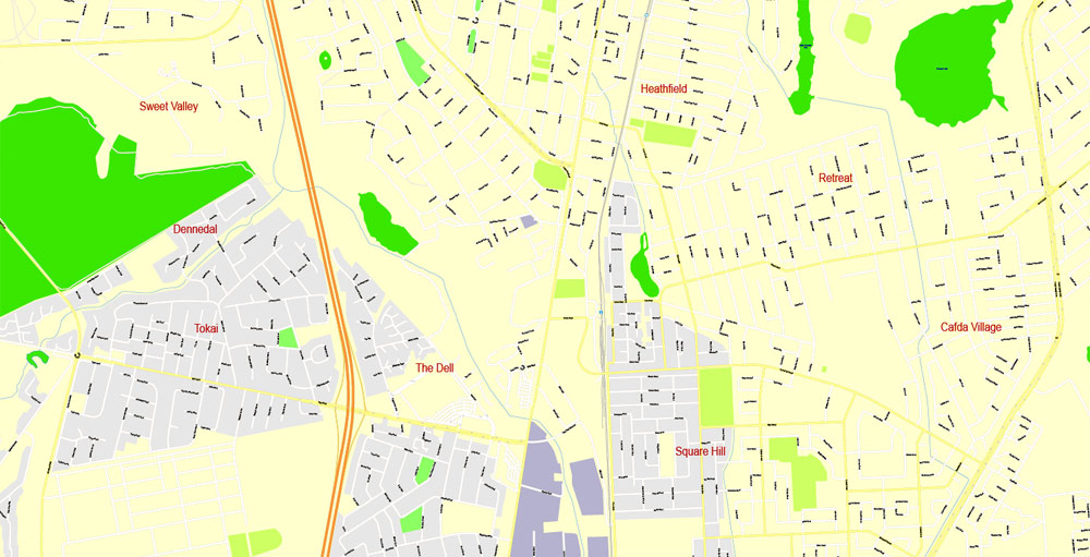
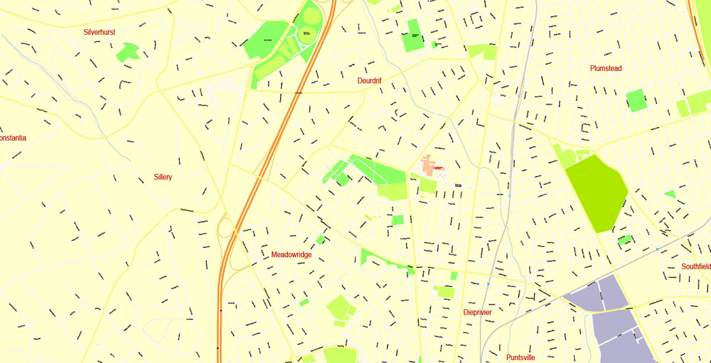
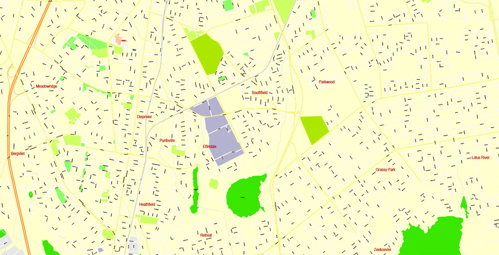
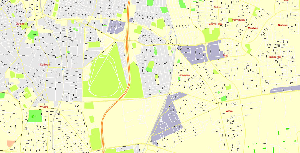
This vector map of Cape Town is used as a basis for design, editing, and further printing.
This is the most detailed, exact map of Cape Town for high-quality printing and polygraphy. You can always clarify the map development date by contacting us.
For your convenience, all objects on Cape Town vector map are divided into layers. And the editing is very easy – colors, lines, etc.
You can easily add any objects needed (e.g. shops, salons, sale points, gas station or attraction) on any layer of Cape Town vector map.
Cape Town is a coastal city in South Africa. It is the capital and primate city of the Western Cape province. It forms part of the City of Cape Town metropolitan municipality.
As the place where the Parliament of South Africa is found, Cape Town is the legislative capital of South Africa. The other two capitals are located in Pretoria (the administrative capital where the President and Cabinet work) and Bloemfontein (the judicial capital where the National Court of Appeal is located). The city is known for its harbour, for its natural setting in the Cape Floristic Region, and for landmarks as Table Mountain and Cape Point. As of 2014, it is the 10th most populous city in Africa and home to 64% of the Western Cape’s population. It is one of the most multicultural cities in the world, reflecting its role as a major destination for immigrants and expatriates to South Africa. The city was named the World Design Capital for 2014 by the International Council of Societies of Industrial Design. In 2014, Cape Town was named the best place in the world to visit by both The New York Times and The Daily Telegraph.
One of the advantages of Cape Town vector maps of our production is the relevance of cartographic data, we constantly update all our products.
This vector map of Cape Town is used by:
designers, layout designers, printers, advertisers and architects. Our product – vector maps – is designed for further editing and printing in large formats – from @Wall format (a few meters) to A-0 and A-1, A-2, A-3.
The Cape Town map in vector format is used for design, urban planning, presentations and media visualizations.
The advertising and presentation map of Cape Town (usually the final designer marks the routes, and puts the client’s objects (shops, saloons, gas stations etc.)
The undoubted advantage is that people will NEVER throw out this advertising product – the map. In fact, as an advertising medium, a map is the most “long-playing” of the well-known polygraphic advertising media, with the longest lifespan, and the maximum number of interactions with the customer.
Located on the shore of Table Bay, Cape Town, as the oldest urban area in South Africa, was developed by the Dutch East India Company (VOC) as a supply station for Dutch ships sailing to East Africa, India, and the Far East. Jan van Riebeeck’s arrival on 6 April 1652 established Dutch Cape Colony, the first permanent European settlement in South Africa. Cape Town outgrew its original purpose as the first European outpost at the Castle of Good Hope, becoming the economic and cultural hub of the Cape Colony. Until the Witwatersrand Gold Rush and the development of Johannesburg, Cape Town was the largest city in South Africa.
For travelers, maps are sold at the airports and gas stations around the world. Often the source is our vector maps.
Take a look, who purchases our vector maps of Cape Town in “Our Clients and Friends” page – these are large and small companies, from super-brands like Volvo and Starbucks, to small design studios and printing houses.
It’s very easy to work with vector maps of Cape Town city, even for a not very experienced designer who can turn on and off the map layers, add new objects, change the colors of fill and lines according to customer requirements.
The undoubted advantage of Cape Town vector maps in printing is an excellent and detailed visualization, when customer can expand a large paper map and instantly define his location, find a landmark, an object or address on map, unlike using the popular electronic formats of Google and Yandex maps for example.
Printable vector maps of Cape Town are much more convenient and efficient than any electronic maps on your smartphone, because ALL DETAILS are displayed in the entire space of Cape Town map.
Useful tips on working with vector maps of cities and countries in Adobe Illustrator.
«V» – launches the Selection tool (cursor, black arrow), which makes active any vector line.
«А» – launches the Direct Selection tool (white cursor), allows you to select curve elements and drag them to the desired place.
«R» – activates the Rotate tool, which helps you rotating selected objects around the center point by 360 degrees.
«E» – gives you the opportunity to use the Eraser tool and erase unnecessary parts.
«X» – switches between Fill and Stroke in the Tools section. Try to get used to this hot key and
you will quickly understand that you can’t live and work without it.
Guides are not limited to vertical and horizontal in Adobe Illustrator. You can also create a diagonal guide for example. Moreover, you can turn any contours into guides. Select the outline and go to View > Guides > Make Guides (Create Guides), or simply press Cmd/Ctrl + 5. You can also turn the guides back into an editable object. Go to menu, View > Guides > Unlock Guides (Release Guides), select the guide you want to edit and select View > Guides > Release Guides (Reset Guides), or just press Cmd/Ctrl + Option / Alt + 5).
You will probably want to change the color scheme used on our Cape Town vector map.
To quickly and effectively play with colors.
Of course, you can do it manually, all objects in our Cape Town vector map are divided according to types and layers, and you can easily change the color gamma of vector objects in groups and layers.
But there is more effective way of working with the whole VECTOR MAP of Cape Town and all layers:
The overview dialog «Edit colors»/«Repaint Graphic Object» (this dialog box name can change depending on the context):
If you have selected a part or a layer of Cape Town vector map and open the dialog box by clicking the icon in the Control panel, on the Samples palette or the Color Catalog, or if you choose Edit > Edit Colors> Repaint Graphic Object, then the «Repaint Graphic Object» dialog box appears, and you get access to «Assign» and «Edit» tabs.
If a picture or a map fragment is not selected, and you open the dialog box by clicking the icon in the Control panel, on the Samples palette or in the Color Catalog, the «Edit Colors» dialog box appears and you can only access the «Edit» tab.
Regardless of the name at the top of the dialog box, the right-hand side always displays the color group of the current document, as well as two default color groups: Print Color and Grayscale. These color groups can be selected and used any time.
Create and edit color groups of Cape Town vector map, and also assign colors using the «Edit Colors»/ а «Repaint Graphic Object» dialog box.
A. Creating and editing of a color group on the «Edit» tab
B. Assigning colors on the «Assign» tab
C. Select a group of colors from the «Color groups» list
The option «Repaint a graphic object» in the lower part of the dialog box allows you to preview the colors on a selected layer of Vector map, or a group of elements, and specify whether its colors will be redefined when the dialog box is closed.
Cape Town is located at latitude 33.55° S (approx. the same as Sydney and Buenos Aires and equivalent to Casablanca and Los Angeles in the northern hemisphere) and longitude 18.25° E. Table Mountain, with its near vertical cliffs and flat-topped summit over 1,000 m (3,300 ft) high, and with Devil’s Peak and Lion’s Head on either side, together form a dramatic mountainous backdrop enclosing the central area of Cape Town, the so-called City Bowl. A thin strip of cloud, known colloquially as the “tablecloth”, sometimes forms on top of the mountain. To the immediate south, the Cape Peninsula is a scenic mountainous spine jutting 40 kilometres (25 mi) southwards into the Atlantic Ocean and terminating at Cape Point. There are over 70 peaks above 300 m (980 ft) within Cape Town’s official city limits. Many of the city’s suburbs lie on the large plain called the Cape Flats, which extends over 50 kilometres (30 mi) to the east and joins the peninsula to the mainland. The Cape Town region is characterised by an extensive coastline, rugged mountain ranges, coastal plains, inland valleys and semi-desert fringes.
The main areas of the dialog box are:
«Edit»
The «Edit» tab is designed to create a new or edit the existing color groups.
The harmony rules Menu and the Color Wheel are used to conduct experiments with color harmonies. The color wheel shows how colors are related in color harmony, and the color bars allow you to view and manipulate an individual color values. In addition, you can adjust the brightness, add and remove colors, save color groups and view colors on the selected Vector Map of Cape Town or a separated layers.
Robben Island
UNESCO declared Robben Island in the Western Cape a World Heritage Site in 1999. Robben Island is located in Table Bay, some 6 km (3.7 mi) west of Bloubergstrand in Cape Town, and stands some 30m above sea level. Robben Island has been used as prison where people were isolated, banished and exiled to for nearly 400 years. It was also used as a leper colony, a post office, a grazing ground, a mental hospital, and an outpost.
Currently visitors can only access the island via the Robben Island Museum boat service, which run three times daily until the beginning of the peak season (1 September). The ferries depart from the Nelson Mandela Gateway at the V&A Waterfront. The boat ride over to Robben’s Island can be rough and cold, depending what time of day you go.
«Assign»
The «Assign» tab is used to view and control on how the original colors are replaced with colors from the color group like your corporate colors in the Vector Map of Cape Town city.
The assign color ability is provided only if the entire map, layer or fragment is selected in the document. You can specify which of new colors replace the current colors, whether the spot colors should be preserved and how colors are replaced (for example, you can replace colors completely or changing the color tone while maintaining the brightness). The «Assign» tab allows you to redefine colors in the Vector Map of Cape Town city, or in separate layers and fragments using the current color group or reducing the number of colors in the current Vector Map.
Color groups
Is a list of all saved color groups for current document (the same groups appear in the «Samples» palette). You can edit and delete the existing color groups, as well as creating a new ones using the list of “Color Groups” in the dialog box. All changes appear in the «Samples» palette.
The highlighted color group shows, which color group is currently edited.
Any color group can be selected and edited, or used to redefine the colors in the selected vector map of Cape Town city, its fragments or elements.
Saving a color group adds this group to the specified list.
Opening the «Edit Colors»/«Repaint Graphic Object» dialog box.
Open the «Edit Colors»/«Repaint Graphic Object» dialog box using one of the following methods:
«Edit»> «Edit Colors»> «Repaint Graphic object» or «Repaint With Style».
Use these commands if you need to edit the colors in the selected vector map of Cape Town city.
«Repaint Graphic object» button on the «Control» panel.
Use this button if you need to adjust colors of Cape Town vector map using the а «Repaint graphic object» dialog box.
The specified button is available if the selected vector map or its fragment contains two or more colors.
Note. This color editing method is convenient for global color adjustment in a vector map, if global colors were not used when creating a Map of Cape Town.
The «Edit colors» button or «Edit or apply colors» on the «Color Catalog» palette
Click this button if you need to edit colors on the «Color Catalog» palette or edit and then apply them to the selected Vector Map of Cape Town or its fragment.
The «Edit color group» button or «Edit or apply color group» on the «Samples» palette.
Click this button if you need to edit the colors in the specific color group or edit and apply them to the selected Vector Map of Cape Town or a group of its elements, for example, the whole layer “Streets and lines”. You can also double-click the color group in the Samples panel to open the dialog box.
If the map file is too large and your computer freezes or even can’t open it quickly:
1. Try to reduce the color resolution of the video card (display) to 256 colors while working with a large map.
2. Using Windows Task Manager, select all the application you don’t need, while working with map, just turn them off.
3. Launch Adobe Illustrator. (DO NOT OPEN the vector map file)
4. Start the Windows Task Manager using administrator rights > Find the “Illustrator” process > set the «real time» priority,
5. Open the file. When you see the LEGACY FONT popup window – click “OK” (do not update). You can restore the TEXT later.
6. Can also be useful: When file is opened – Edit > Settings > Basic Settings > disable smoothing. /// It looks scary, but works quickly)))
We recommend saving the file in Adobe Illustrator 10 version. It’s much more stable when working with VERY BIG size files.
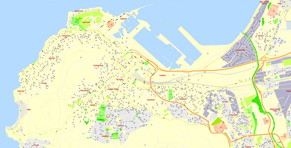
City Bowl
The City Bowl is a natural amphitheatre-shaped area bordered by Table Bay and defined by the mountains of Signal Hill, Lion’s Head, Table Mountain and Devil’s Peak.
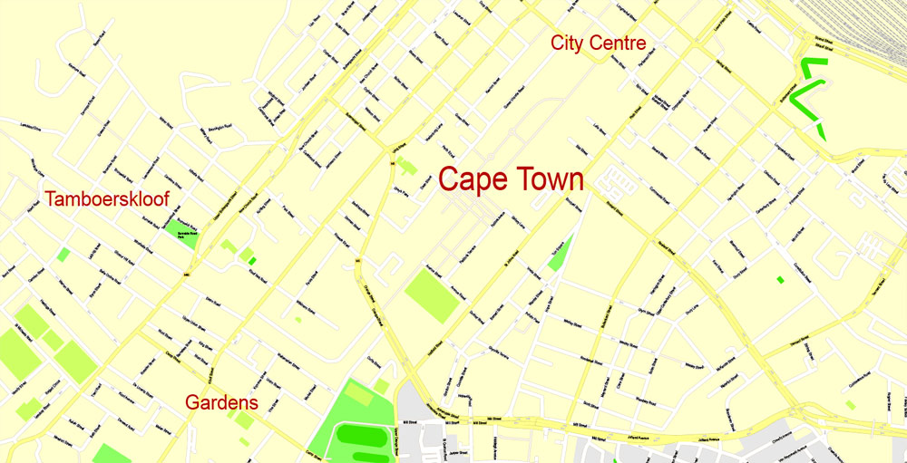
The area includes the central business district of Cape Town, the harbour, the Company’s Garden, and the residential suburbs of De Waterkant, Devil’s Peak, District Six, Zonnebloem, Gardens, Bo-Kaap, Higgovale, Oranjezicht, Schotsche Kloof, Tamboerskloof, University Estate, Vredehoek, Walmer Estate and Woodstock.
Atlantic Seaboard
The Atlantic Seaboard lies west of Cape Town and Table Mountain, and is characterised by its beaches, cliffs, promenade and hillside communities. The area includes, from north to south, the neighbourhoods of Green Point, Mouille Point, Three Anchor Bay, Sea Point, Fresnaye, Bantry Bay, Clifton, Camps Bay, Llandudno, and Hout Bay. The Atlantic Seaboard has some of the most expensive real estate in South Africa particularly on Nettleton and Clifton Roads in Clifton, Ocean View Drive and St Leon Avenue in Bantry Bay, Theresa Avenue in Bakoven and Fishermans Bend in Llandudno. Camps Bay is home to the highest concentration of multimillionaires in Cape Town and has the highest number of high-priced mansions in South Africa with more than 155 residential units exceeding R20 million (or $US1.8 million).
West Coast
The West Coast suburbs lie along the beach to the north of the Cape Town city centre, and include Bloubergstrand, Milnerton, Tableview, West Beach, Big Bay, Sunset Beach, Sunningdale, Parklands and Parklands North, as well as the exurbs of Atlantis and Melkbosstrand. The Koeberg Nuclear Power Station is located within this area and maximum housing density regulations are enforced in much of the area surrounding the nuclear plant.
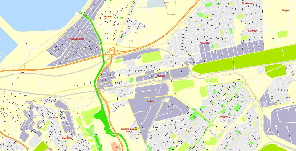
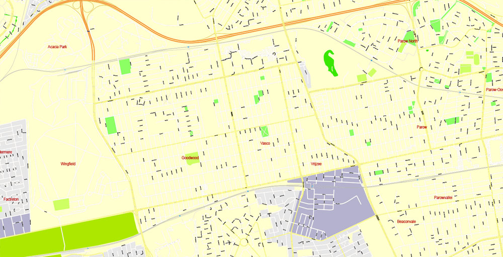
Northern Suburbs
The Northern Suburbs are Afrikaans-speaking, and include Bellville, Kanonberg, Bothasig, Brooklyn, Burgundy Estate, Durbanville, Edgemead, Elsie’s River, Factreton, Goodwood, Kensington, Maitland, Monte Vista, Panorama, Parow, Richwood, Table View, and Welgemoed. The Northern Suburbs are home to Tygerberg Hospital, the largest hospital in the Western Cape and second largest in South Africa
Southern Suburbs
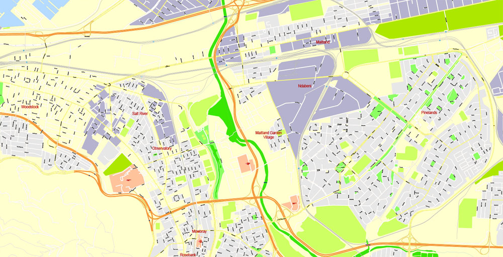
The Southern Suburbs hug along the eastern slopes of Table Mountain, southeast of the city centre. This area has mixed languages but is predominantly English-speaking, and includes, from north to south, Rondebosch, Pinelands, Thornton, Newlands, Mowbray, Observatory, Bishopscourt, Claremont, Lansdowne, Wynberg, Plumstead, Hout Bay, Ottery, and Bergvliet. West of Wynberg lies Constantia which, in addition to being a wealthy neighbourhood, is a notable wine-growing region within the City of Cape Town. Constantia not only offers a luscious suburban living lifestyle, but also attracts tourists for its well-known wine farms and Cape Dutch architecture.
South Peninsula
Simon’s Town
The South Peninsula is generally regarded as the area south of Muizenberg on False Bay and Noordhoek on the Atlantic Ocean, all the way to Cape Point. Until recently, this predominantly English-speaking area was quite rural, however the population of the area is growing quickly as new coastal developments proliferate and larger plots are subdivided to provide more compact housing. It includes Capri Village, Clovelly, Fish Hoek, Glencairn, Kalk Bay, Kommetjie, Masiphumelele, Muizenberg, Noordhoek, Ocean View, Scarborough, Simon’s Town, St James, Sunnydale and Sun Valley. South Africa’s largest naval base is located at Simon’s Town harbour, and close by is Boulders Beach, the site of a large colony of African penguins.
Eastern Suburbs
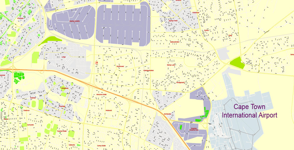
The Eastern Suburbs lie southeast of the Afrikaans-speaking neighbourhoods in the Northern Suburbs, beyond the airport, and notably are the site of several new subsidized housing projects and are also Afrikaans-speaking. Communities include Fairdale, Brackenfell, Kraaifontein, Kuils River, Blue Downs, Belhar, Delft, Mfuleni and Protea Hoogte.
Cape Flats
The Cape Flats (Die Kaapse Vlakte in Afrikaans) is an expansive, low-lying, flat Afrikaans-speaking area situated to the southeast of the central business district of Cape Town. From the 1950s the area became home to people the apartheid government designated as non-White and has been described by some as ‘Apartheid’s dumping ground’. Race-based legislation such as the Group Areas Act and pass laws either forced non-white people out of more central urban areas designated for white people and into government-built townships in the Flats or made living in the area illegal, forcing many people designated as Black and Coloured into informal settlements elsewhere in the Flats.
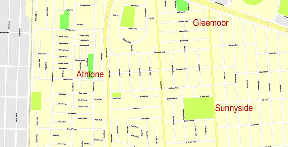
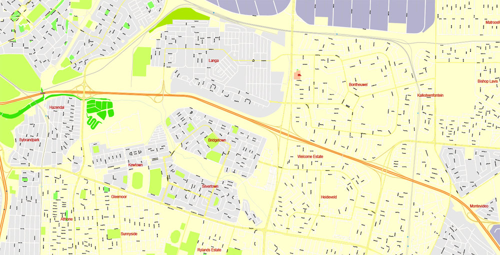
Since then the Flats have been home to much of the population of Greater Cape Town. This area includes the neighbourhoods of Mitchell’s Plain, Athlone, Elsie’s River, Hanover Park, Bishop Lavis, Manenberg, Strandfontein, Gugulethu, Nyanga, Langa, and Khayelitsha.
Helderberg
The Helderberg consists of Somerset West, Strand, Gordons Bay and a few other towns. The district takes its name from the imposing Helderberg Mountain, which is Afrikaans for “clear mountain”, and culminates at a height of 1,137 metres (3,730 feet) as The Dome.

Cape Town
Capital of South Africa
Cape Town is a port city on South Africa’s southwest coast, on a peninsula beneath the imposing Table Mountain. Slowly rotating cable cars climb to the mountain’s flat top, from which there are sweeping views of the city, the busy harbor and boats heading for Robben Island, the notorious prison that once held Nelson Mandela, which is now a living museum.
Area
• City 400.28 km2 (154.55 sq mi)
• Metro 2,444.97 km2 (944.01 sq mi)
Highest elevation 1,590.4 m (5,217.8 ft)
Lowest elevation 0 m (0 ft)
Population
• City 433,688
• Density 1,100/km2 (2,800/sq mi)
• Metro 3,740,026
• Metro density 1,500/km2 (4,000/sq mi)
Free Download map with coat of arms and flag:
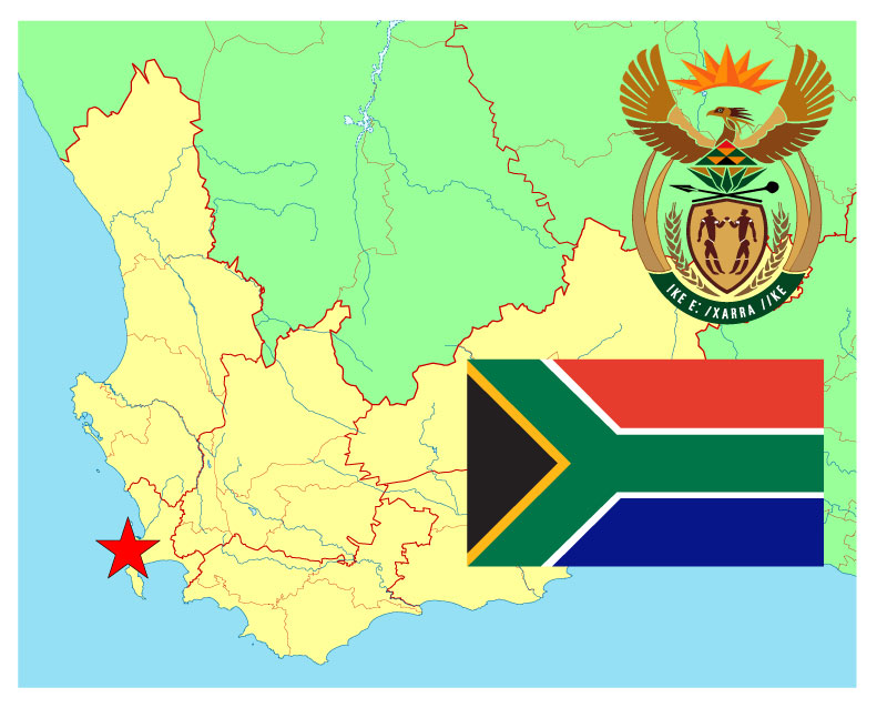
Download Free south_africa_western_cape_cape_town_map-ai
Download Free south_africa_western_cape_cape_town_map-pdf
Free vector map World, Adobe Illustrator, download now maps vector clipart
Map for design, projects, presentation free to use as you like.
See also: TERMS & CONDITIONS: SOFTWARE LICENSE AGREEMENT FOR DIGITAL CARTOGRAPHIC DATA.

 Author: Kirill Shrayber, Ph.D. FRGS