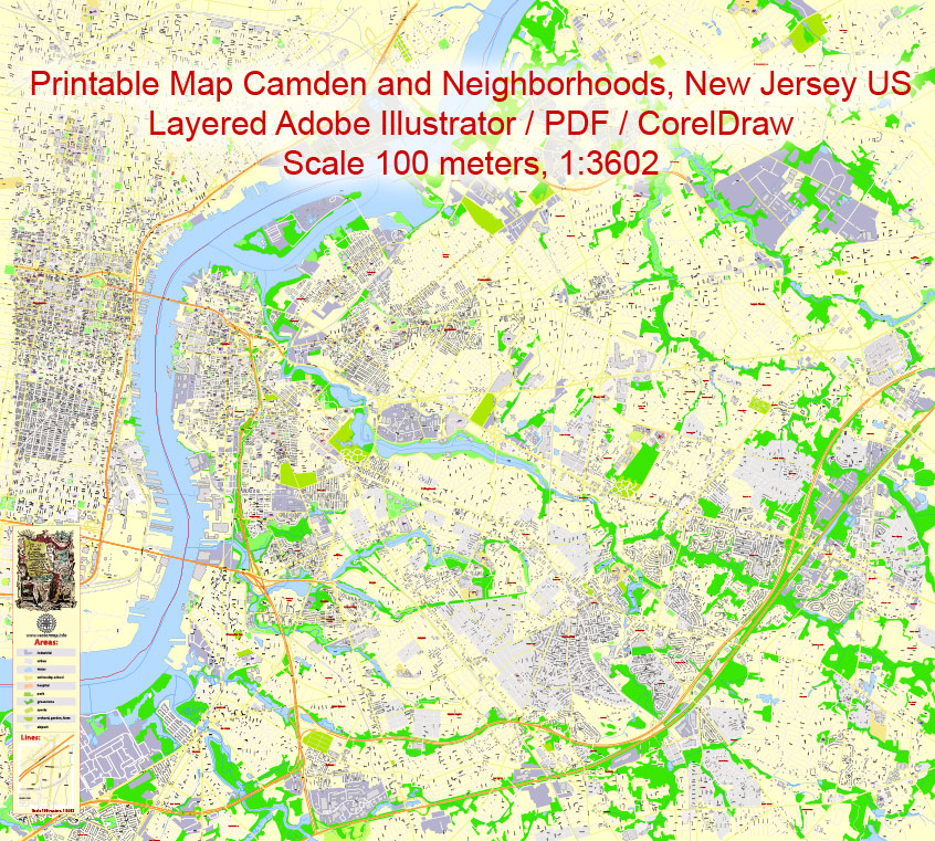
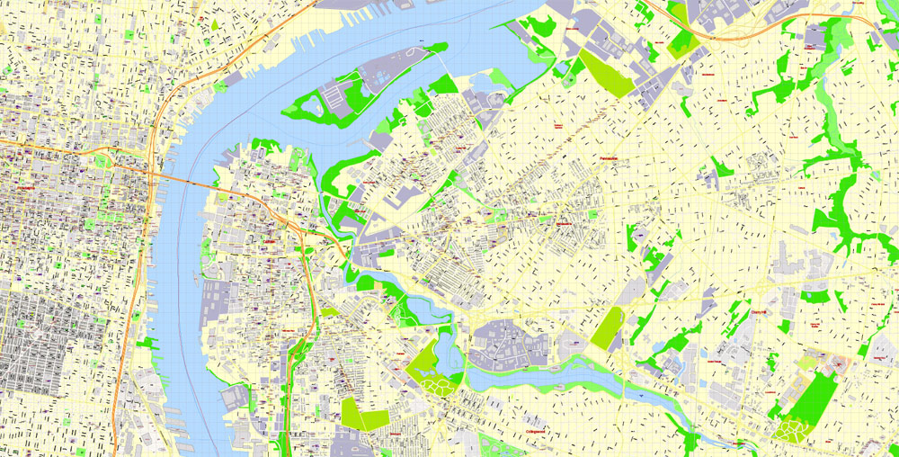
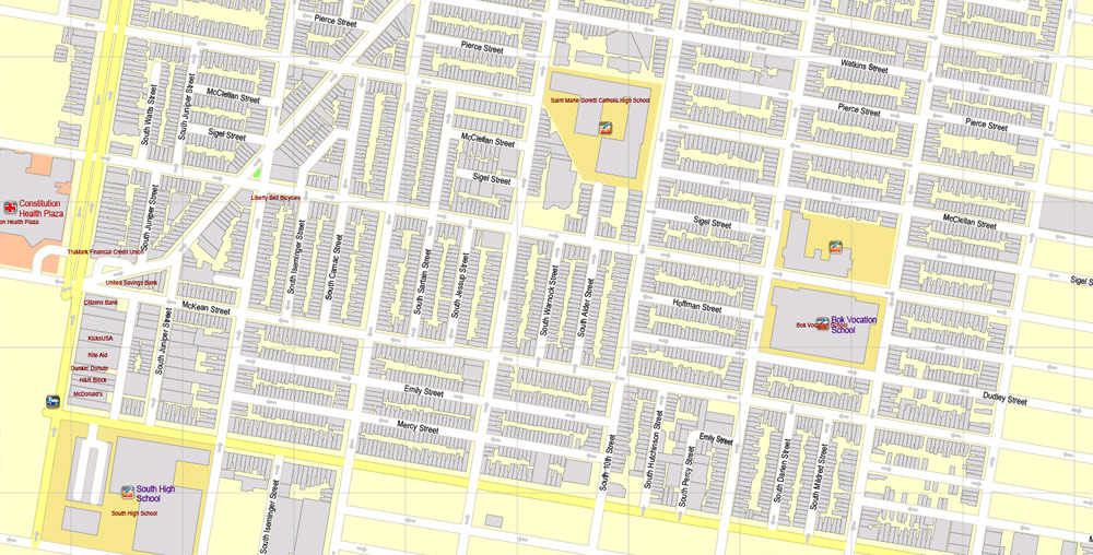
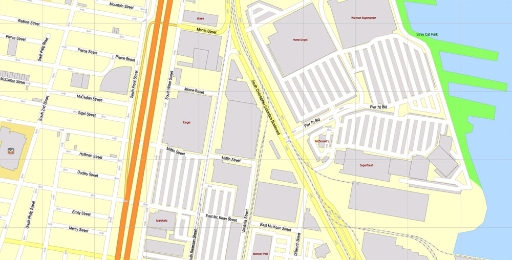
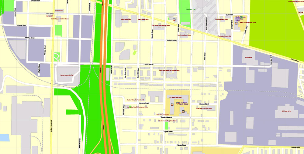
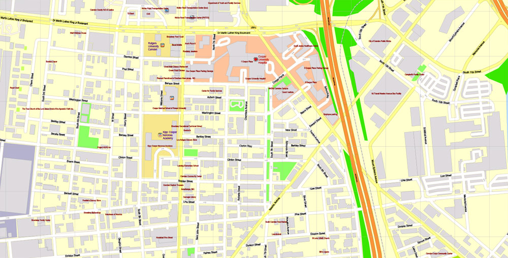
Printable Map Camden and neighborhoods, New Jersey US, exact vector City Plan Map street G-View Level 17 (100 meters scale 1:3602) full editable, Adobe Illustrator, full vector, scalable, editable text format street names, 13 mb ZIP
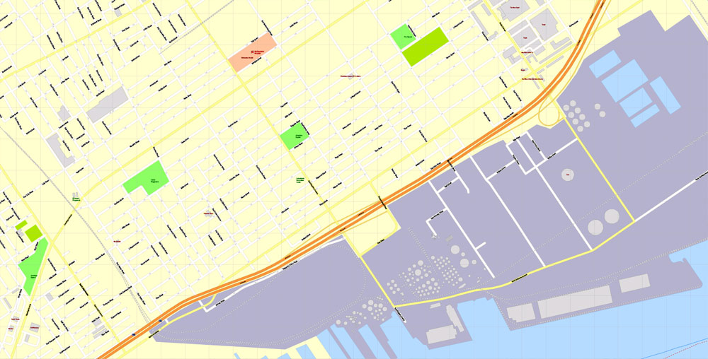
All streets named, Main Objects, Principal buildings. Map for design, printing, arts, projects, presentations, for architects, designers and builders, business, logistics.
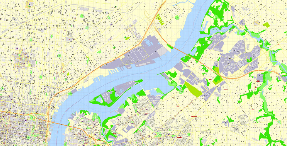
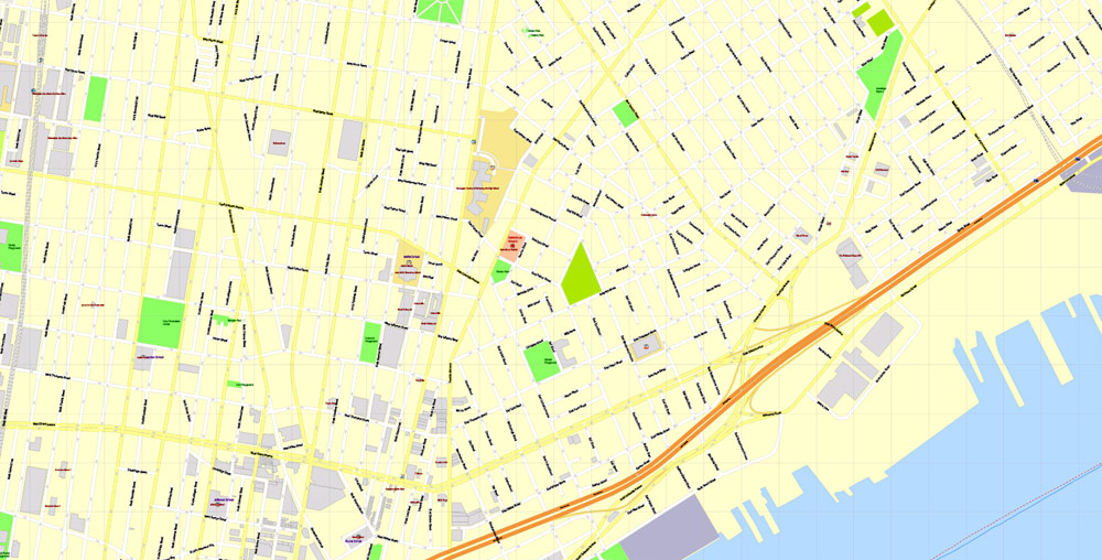
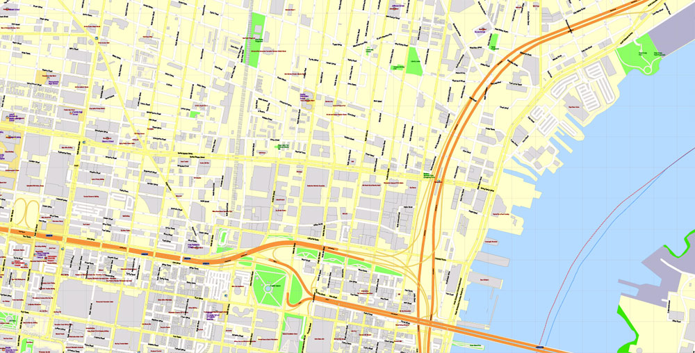
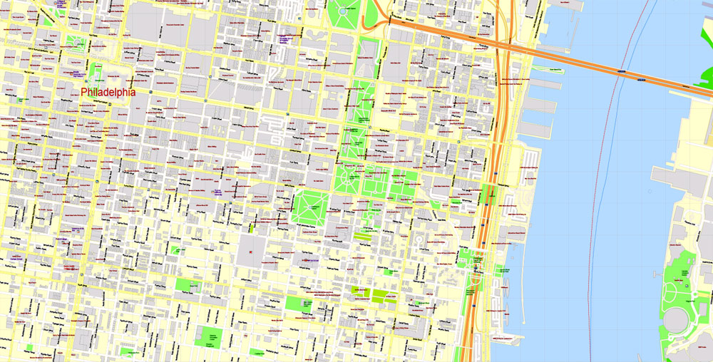
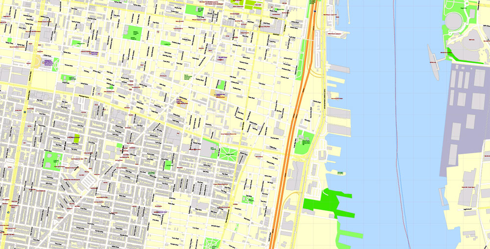
Included part of Philadelphia.
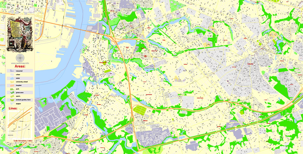
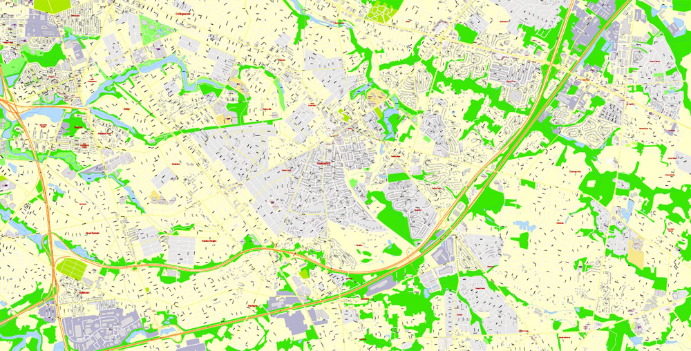
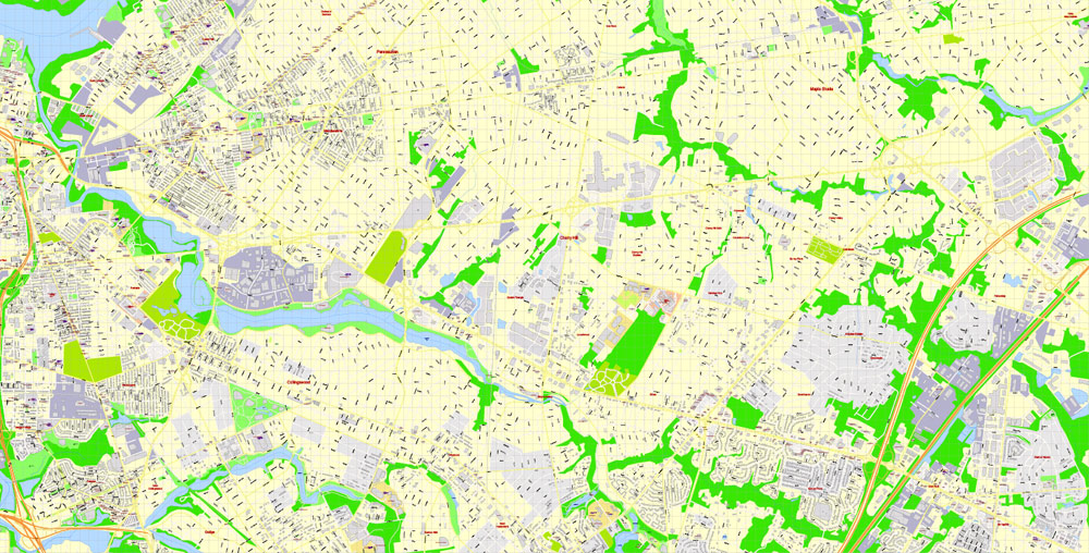
Layers: color fills, streets_roads, arrows_streets, labels_roads, objects, buildings, names buildings, names_objects, names_streets, names_places, grids, legend.
The most exact and detailed map of the city.
For print LARGE (WALL) format.
DWG, DXF and other formats – on request, same price, please, contact
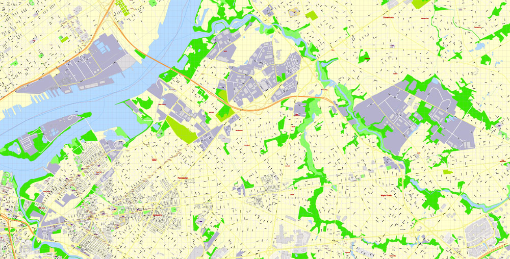
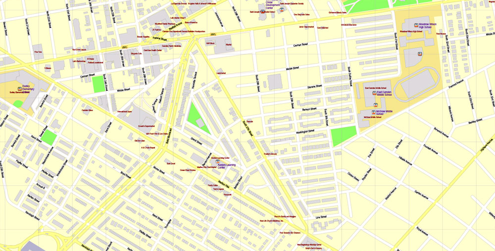
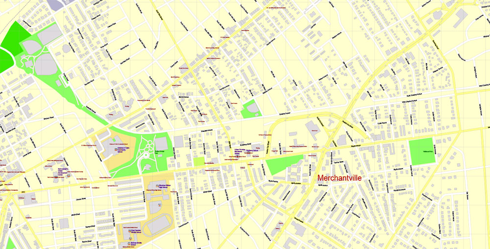
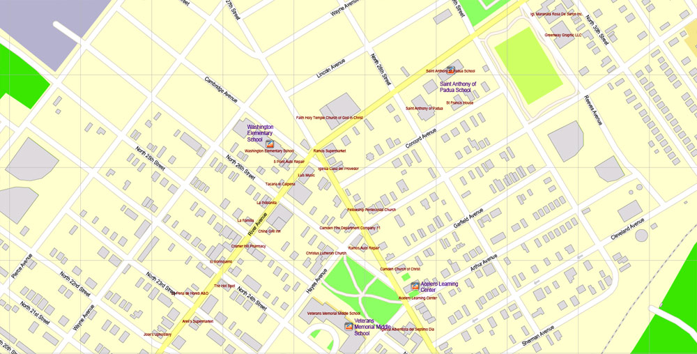
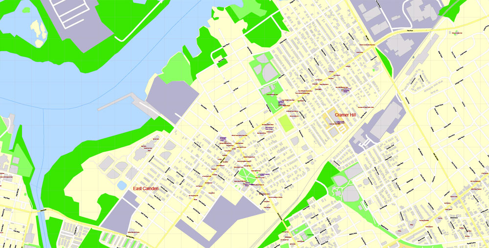
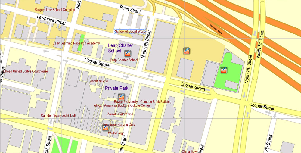
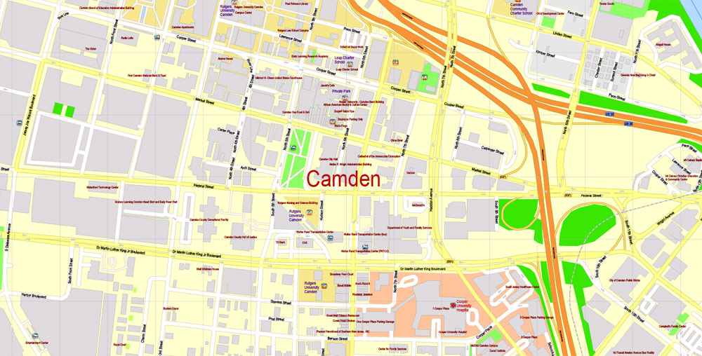
Camden, New Jersey, United States.
This vector map of Camden city is used as a basis for design, editing, and further printing.
This is the most detailed, exact map of Camden city for high-quality printing and polygraphy. You can always clarify the map development date by contacting us.
For your convenience, all objects on Camden vector city map are divided into layers. And the editing is very easy – colors, lines, etc.
You can easily add any objects needed (e.g. shops, salons, sale points, gas station or attraction) on any layer of Camden vector map.
Camden is a city and the county seat of Camden County, New Jersey, United States. Camden is located directly across the Delaware River from Philadelphia, Pennsylvania. At the 2010 U.S. Census, the city had a population of 77,344.Camden is the 12th most populous municipality in New Jersey. The city was incorporated on February 13, 1828. Camden has been the county seat of Camden County since the county was formed on March 13, 1844. The city derives its name from Charles Pratt, 1st Earl Camden. Camden is made up of over twenty different neighborhoods.
One of the advantages of Camden city vector maps of our production is the relevance of cartographic data, we constantly update all our products.
This vector map of Camden city is used by:
designers, layout designers, printers, advertisers and architects. Our product – vector maps – is designed for further editing and printing in large formats – from @Wall format (a few meters) to A-0 and A-1, A-2, A-3.
The Camden city map in vector format is used for design, urban planning, presentations and media visualizations.
The advertising and presentation map of Camden city (usually the final designer marks the routes, and puts the client’s objects (shops, saloons, gas stations etc.)
The undoubted advantage is that people will NEVER throw out this advertising product – the map. In fact, as an advertising medium, a city map is the most “long-playing” of the well-known polygraphic advertising media, with the longest lifespan, and the maximum number of interactions with the customer.
For travelers, maps are sold at the airports and gas stations around the world. Often the source is our vector maps.
Beginning in the early 1900s, Camden was a consistently prosperous industrial city, and remained so throughout the Great Depression and World War II. During the 1950s, Camden manufacturers began gradually closing their factories and moving out of the city. With the loss of manufacturing jobs came a sharp decline in population numbers. Suburbanization also influenced the drop in population. Civil unrest and crime became common in Camden. In 1971, civil unrest reached its peak with riots breaking out in response to the death of Horacio Jimenez, a Puerto Rican motorist who was killed by two white police officers.
Take a look, who purchases our vector maps of Camden city in “Our Clients and Friends” page – these are large and small companies, from super-brands like Volvo and Starbucks, to small design studios and printing houses.
It’s very easy to work with vector maps of Camden city, even for a not very experienced designer who can turn on and off the map layers, add new objects, change the colors of fill and lines according to customer requirements.
The undoubted advantage of Camden city vector maps in printing is an excellent and detailed visualization, when customer can expand a large paper map and instantly define his location, find a landmark, an object or address on map, unlike using the popular electronic formats of Google and Yandex maps for example.
Printable vector maps of Camden city are much more convenient and efficient than any electronic maps on your smartphone, because ALL DETAILS are displayed in the entire space of Camden city map.
The Camden waterfront holds four tourist attractions, the USS New Jersey; the BB&T Pavilion; Campbell’s Field; and the Adventure Aquarium. Campbell’s Field had been home to the minor league baseball team, the Camden Riversharks but is currently scheduled to be torn down. The city is the home of Rutgers University–Camden, which was founded as the South Jersey Law School in 1926, and Cooper Medical School of Rowan University, which opened in 2012. Camden also houses both Cooper University Hospital and Our Lady of Lourdes Medical Center. The “eds and meds” institutions account for roughly 45% of Camden’s total employment.
Useful tips on working with vector maps of cities and countries in Adobe Illustrator.
«V» – launches the Selection tool (cursor, black arrow), which makes active any vector line.
«А» – launches the Direct Selection tool (white cursor), allows you to select curve elements and drag them to the desired place.
«R» – activates the Rotate tool, which helps you rotating selected objects around the center point by 360 degrees.
«E» – gives you the opportunity to use the Eraser tool and erase unnecessary parts.
«X» – switches between Fill and Stroke in the Tools section. Try to get used to this hot key and
you will quickly understand that you can’t live and work without it.
Guides are not limited to vertical and horizontal in Adobe Illustrator. You can also create a diagonal guide for example. Moreover, you can turn any contours into guides. Select the outline and go to View > Guides > Make Guides (Create Guides), or simply press Cmd/Ctrl + 5. You can also turn the guides back into an editable object. Go to menu, View > Guides > Unlock Guides (Release Guides), select the guide you want to edit and select View > Guides > Release Guides (Reset Guides), or just press Cmd/Ctrl + Option / Alt + 5).
You will probably want to change the color scheme used on our Camden vector city map.
To quickly and effectively play with colors.
Of course, you can do it manually, all objects in our Camden city vector map are divided according to types and layers, and you can easily change the color gamma of vector objects in groups and layers.
But there is more effective way of working with the whole VECTOR MAP of Camden city and all layers:
The overview dialog «Edit colors»/«Repaint Graphic Object» (this dialog box name can change depending on the context):
If you have selected a part or a layer of Camden city vector map and open the dialog box by clicking the icon in the Control panel, on the Samples palette or the Color Catalog, or if you choose Edit > Edit Colors> Repaint Graphic Object, then the «Repaint Graphic Object» dialog box appears, and you get access to «Assign» and «Edit» tabs.
If a picture or a map fragment is not selected, and you open the dialog box by clicking the icon in the Control panel, on the Samples palette or in the Color Catalog, the «Edit Colors» dialog box appears and you can only access the «Edit» tab.
Regardless of the name at the top of the dialog box, the right-hand side always displays the color group of the current document, as well as two default color groups: Print Color and Grayscale. These color groups can be selected and used any time.
Create and edit color groups of Camden city vector map, and also assign colors using the «Edit Colors»/ а «Repaint Graphic Object» dialog box.
A. Creating and editing of a color group on the «Edit» tab
B. Assigning colors on the «Assign» tab
C. Select a group of colors from the «Color groups» list
The option «Repaint a graphic object» in the lower part of the dialog box allows you to preview the colors on a selected layer of Vector map, or a group of elements, and specify whether its colors will be redefined when the dialog box is closed.
The main areas of the dialog box are:
«Edit»
The «Edit» tab is designed to create a new or edit the existing color groups.
The harmony rules Menu and the Color Wheel are used to conduct experiments with color harmonies. The color wheel shows how colors are related in color harmony, and the color bars allow you to view and manipulate an individual color values. In addition, you can adjust the brightness, add and remove colors, save color groups and view colors on the selected Vector Map of Camden city or a separated layers.
Camden had the highest crime rate in the United States in 2012, with 2,566 violent crimes for every 100,000 people, 6.6 times higher than the national average of 387 violent crimes per 100,000 citizens. There were 23 murders in Camden in 2017, the lowest in the city in three decades, part of a sharp drop in violent crime since 2012.
Geography
According to the United States Census Bureau, the city had a total area of 10.341 square miles (26.784 km2), including 8.921 square miles (23.106 km2) of land and 1.420 square miles (3.677 km2) of water (13.73%).
Camden borders Collingswood, Gloucester City, Haddon Township, Pennsauken Township and Woodlynne in Camden County, as well as Philadelphia across the Delaware River in Pennsylvania. Just offshore of Camden is Pettys Island, which is part of Pennsauken Township. The Cooper River (popular for boating) flows through Camden, and Newton Creek forms Camden’s southern boundary with Gloucester City.
Camden contains the United States’ first federally funded planned community for working class residents, Yorkship Village (now called Fairview). The village was designed by Electus Darwin Litchfield, who was influenced by the “garden city” developments popular in England at the time.
Camden
City in New Jersey
Camden is a city in Camden County, New Jersey. Camden is located directly across the Delaware River from Philadelphia, Pennsylvania.
Area
• Total 10.341 sq mi (26.784 km2)
• Land 8.921 sq mi (23.106 km2)
• Water 1.420 sq mi (3.677 km2) 13.73%
Area rank 208th of 566 in state
7th of 37 in county
Elevation 16 ft (5 m)
Population
• Total 77,344
• Estimate (2016)[14] 74,420
• Rank 12th of 566 in state
1st of 37 in county
• Density 8,669.6/sq mi (3,347.4/km2)
• Density rank 42nd of 566 in state
2nd of 37 in county
Free US vector maps

Free Download Vector Map US County and State Adobe Illustrator
Free_Vector_Map_US_States_County_Map.ai
Free Download Vector Map US County and State Adobe PDF
Free_Vector_Map_US_States_County_Map.pdf

Free Download Vector Map US With States Names, Adobe Illustrator
Free_Map_of_USA_with_state_names_en.ai
Free Download Vector Map US With States Names, Adobe PDF
Free_Map_of_USA_with_state_names_en.pdf
From WIKI
Free vector map World, Adobe Illustrator, download now maps vector clipart
Map for design, projects, presentation free to use as you like.
See also: TERMS & CONDITIONS: SOFTWARE LICENSE AGREEMENT FOR DIGITAL CARTOGRAPHIC DATA.
Need more USA Vector Maps, printable and editable?

 Author: Kirill Shrayber, Ph.D. FRGS

