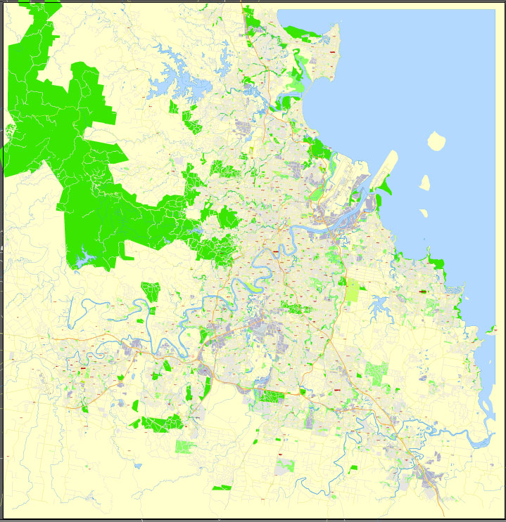
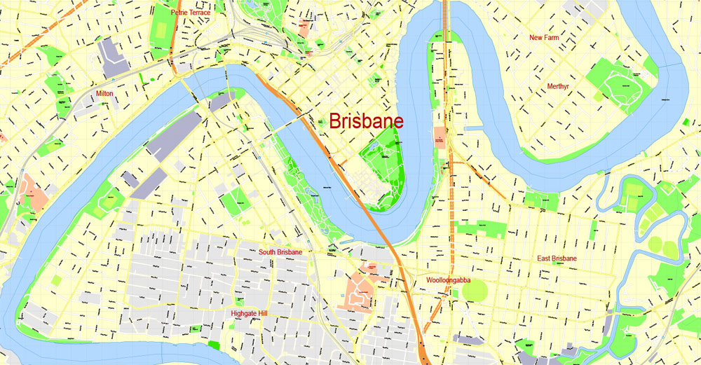
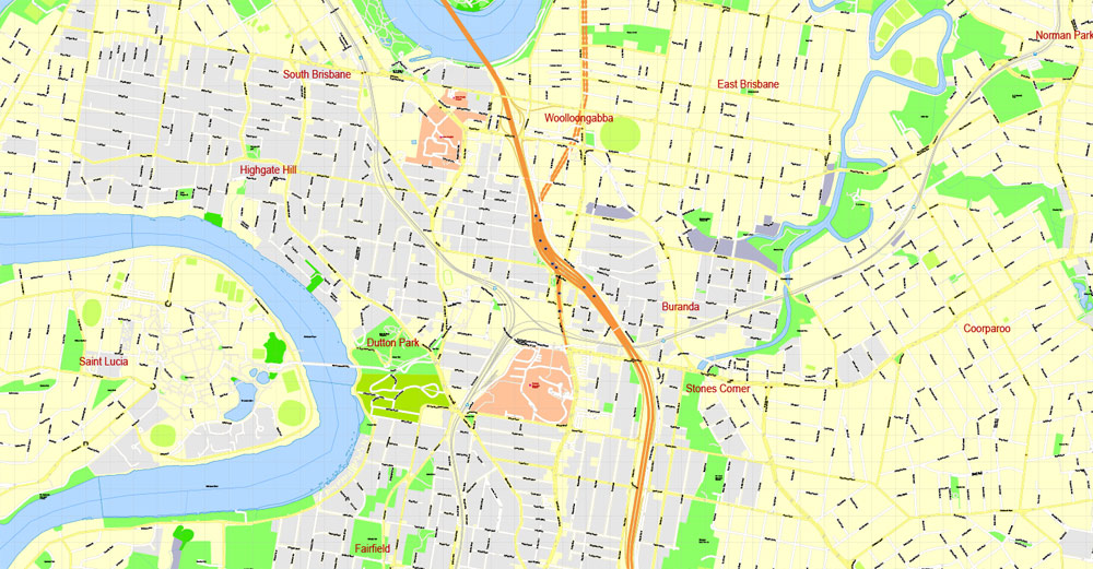
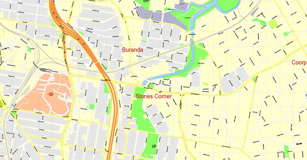
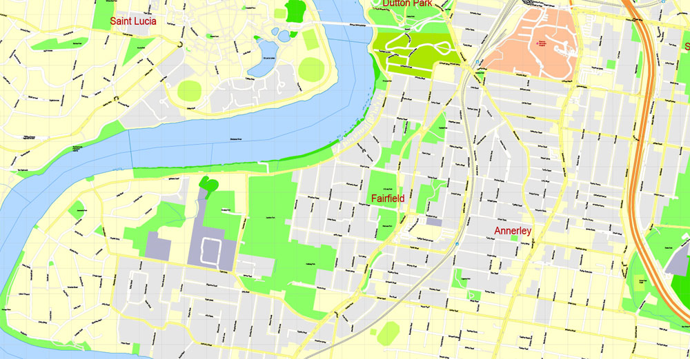
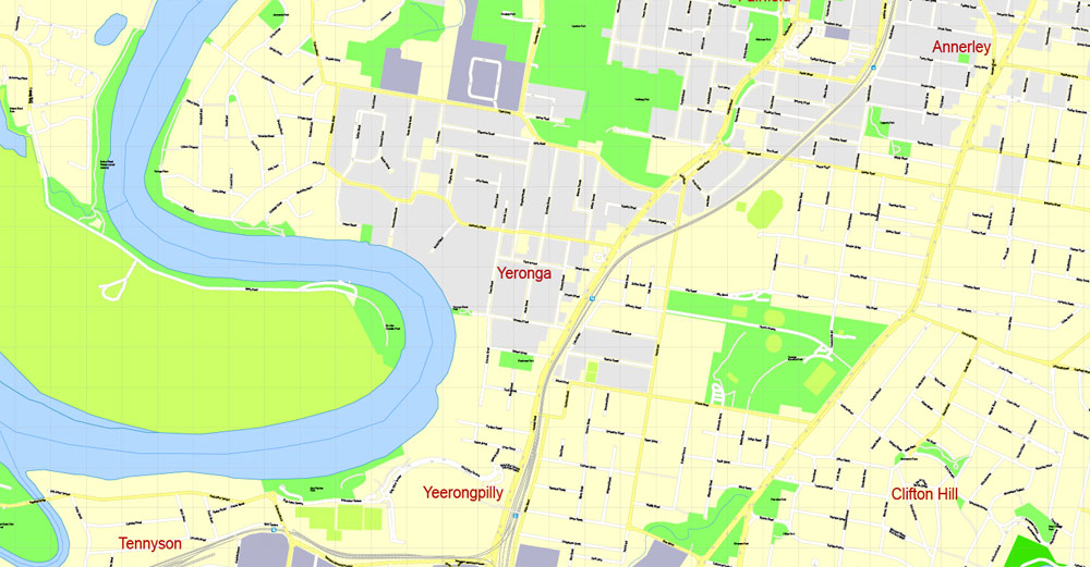
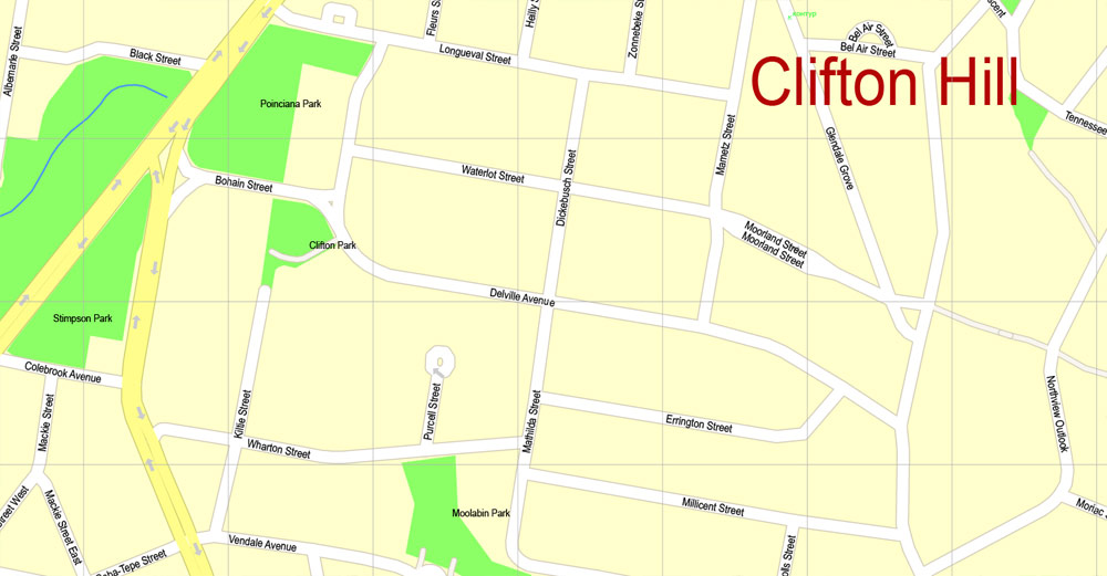
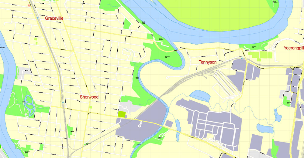
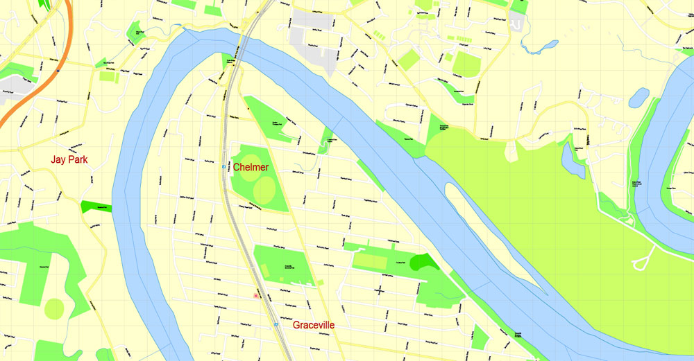
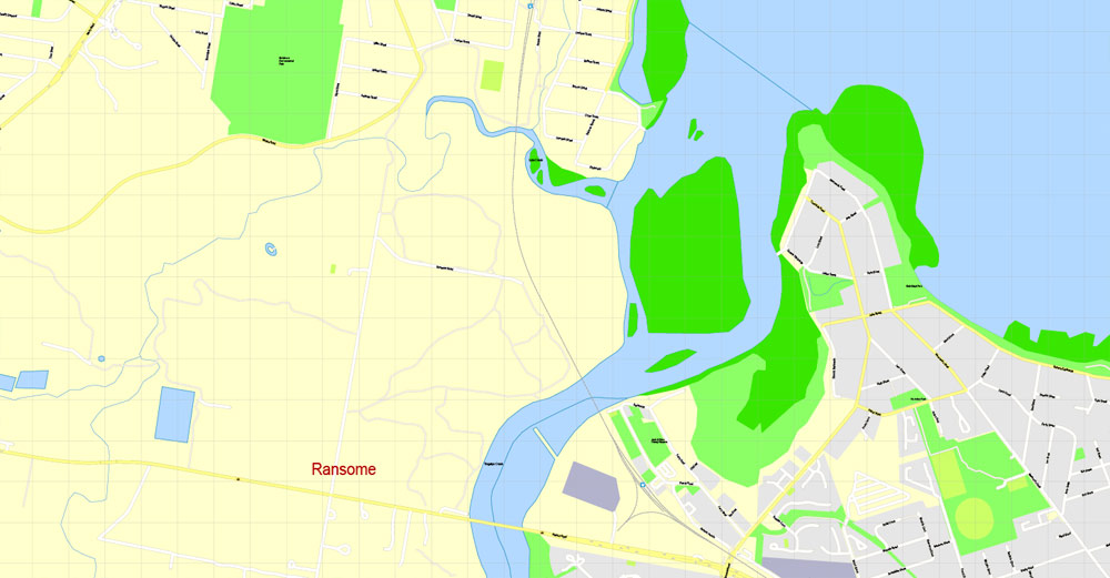
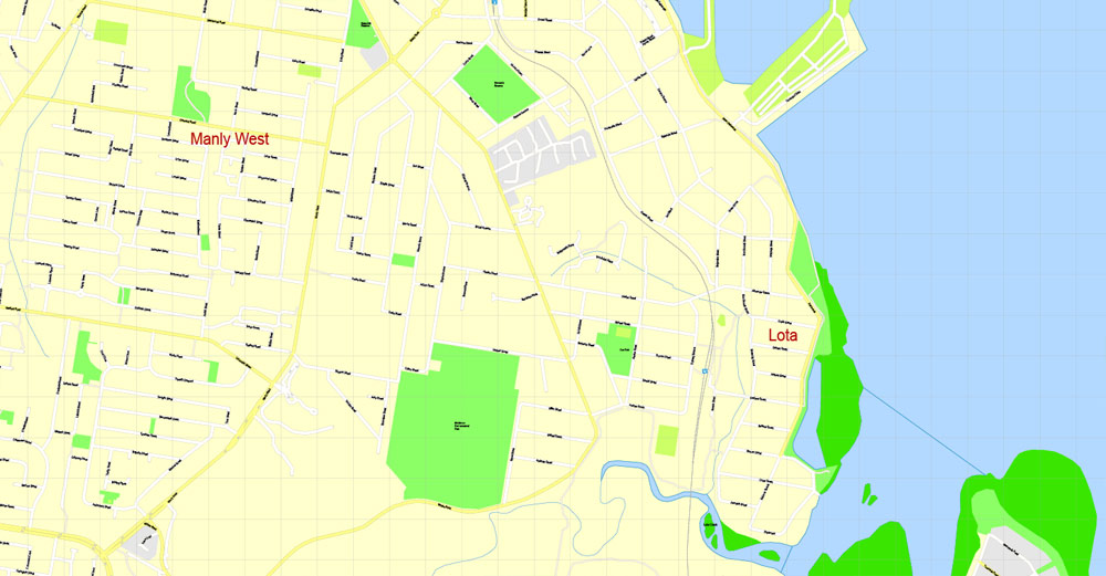
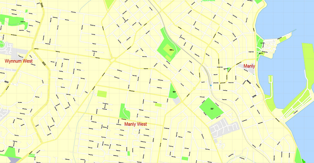
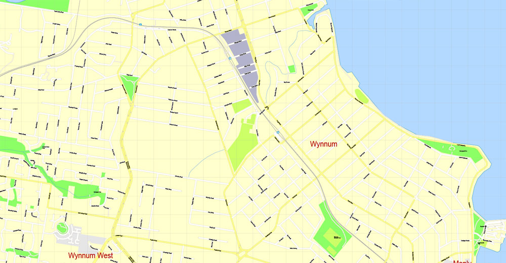
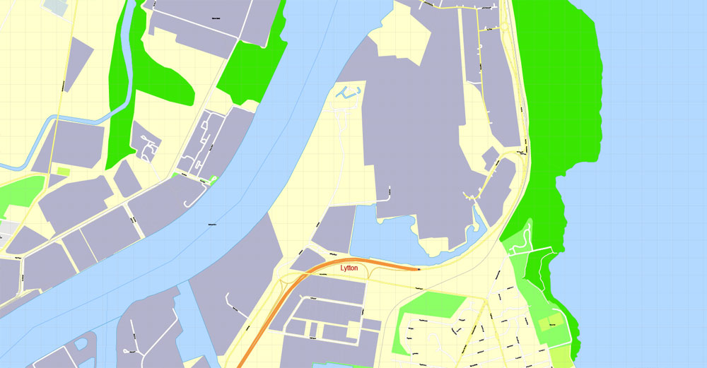
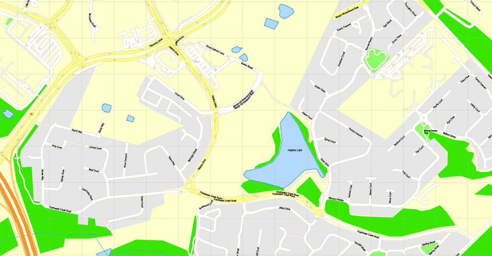
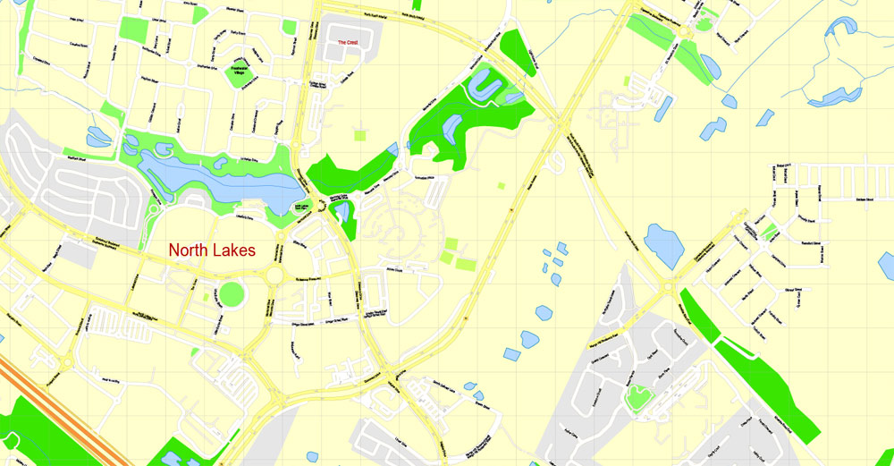
Printable Map Brisbane, Australia, exact vector street map, V11.11, fully editable, Adobe Illustrator, G-View Level 17 (100 meters scale), full vector, scalable, editable, text format of street names, 18 Mb ZIP.
All streets named, NO buildings, main objects. Map for publishing, design, printing, publications, arts, projects, presentations, for architects, designers and builders, business, logistics. The most exact and detailed map of the city.
Separated layers: streets and roads, color fills, road labels, street arrows, objects, names 1,2,3, scales. Royalty Free.
DWG, DXF, CDR and other formats – by request, same price, please contact.
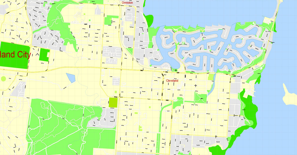
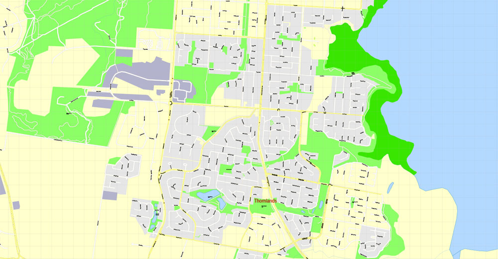
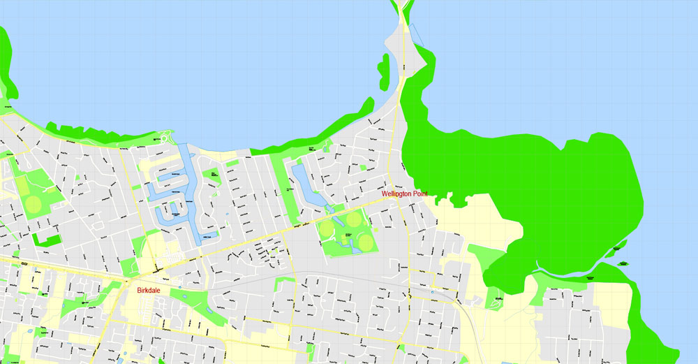
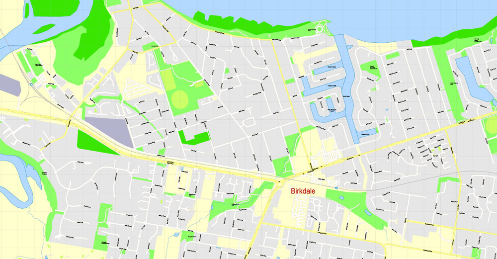
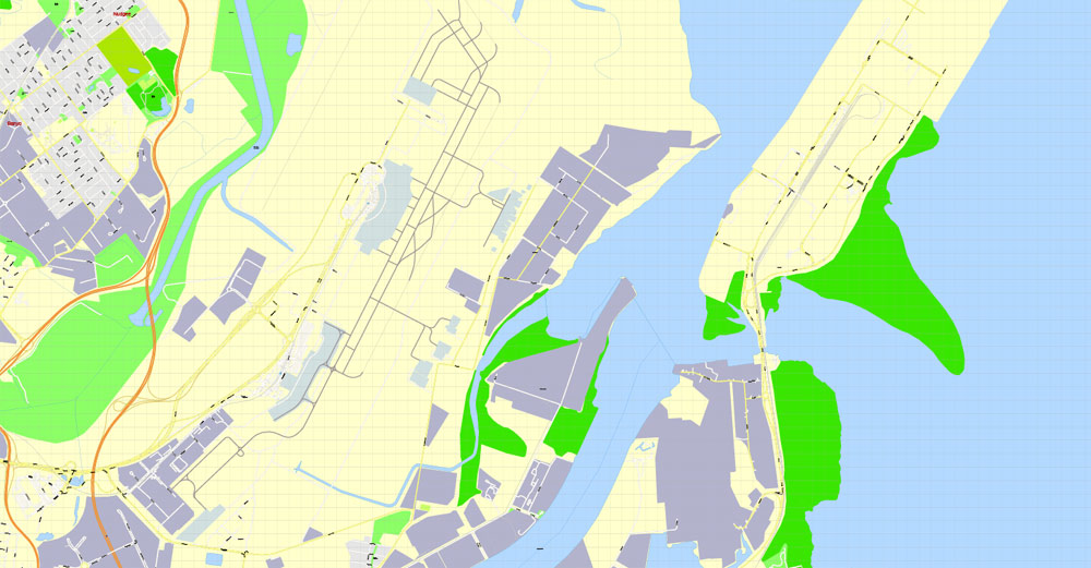
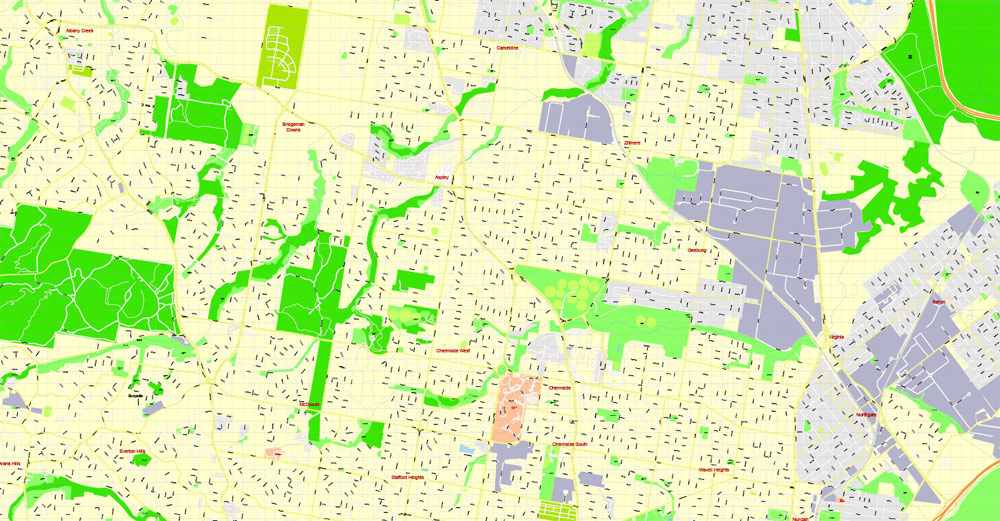
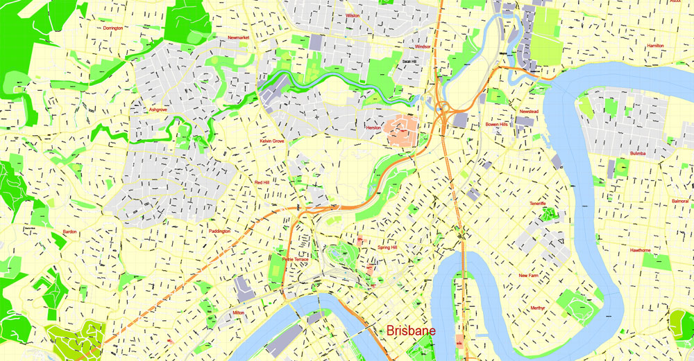
Brisbane, Australia.
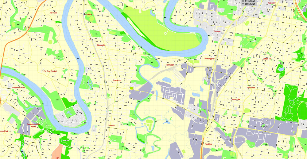
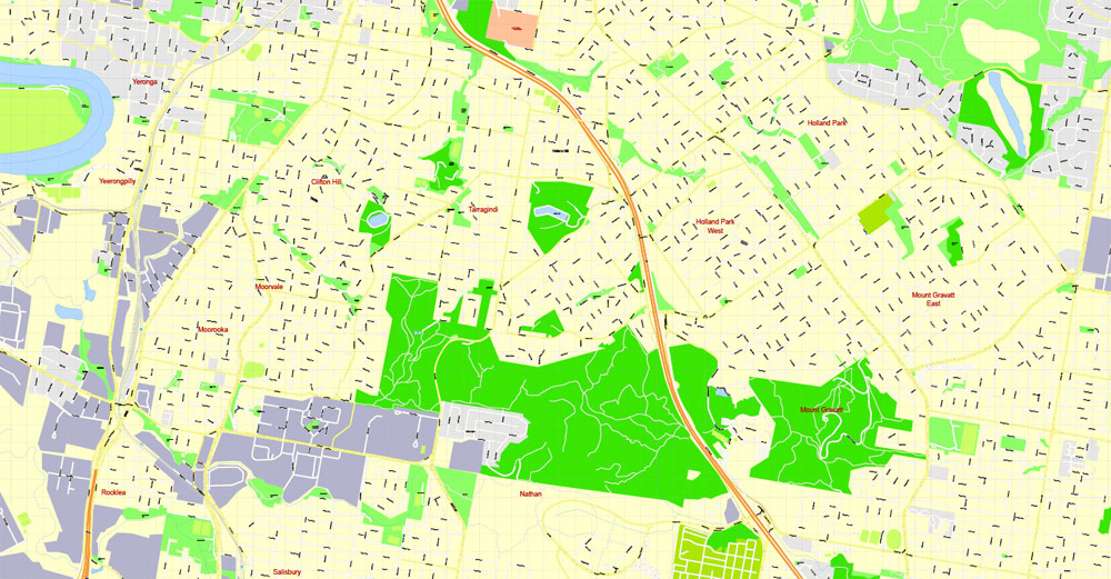
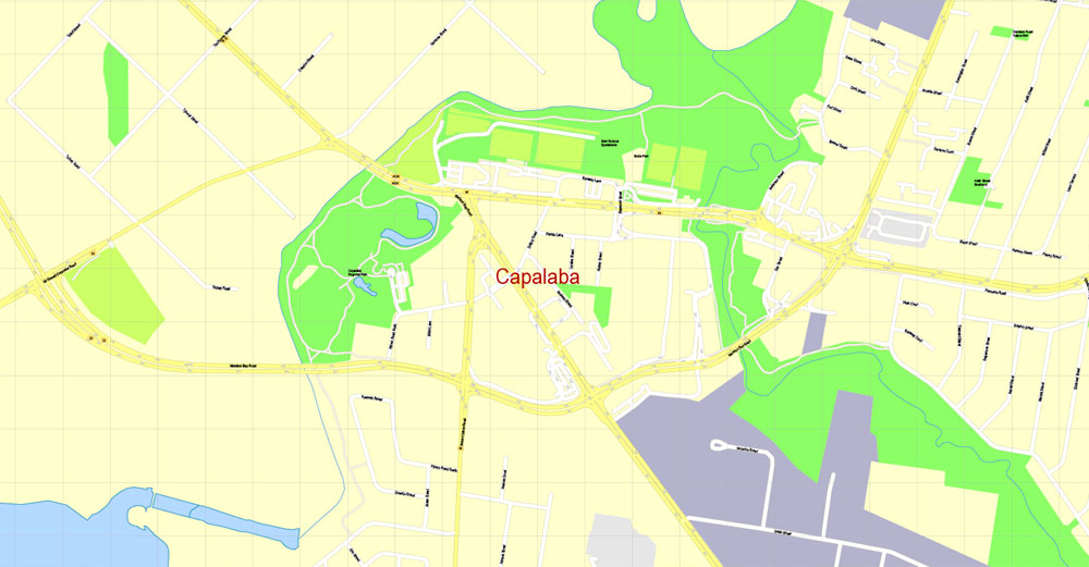
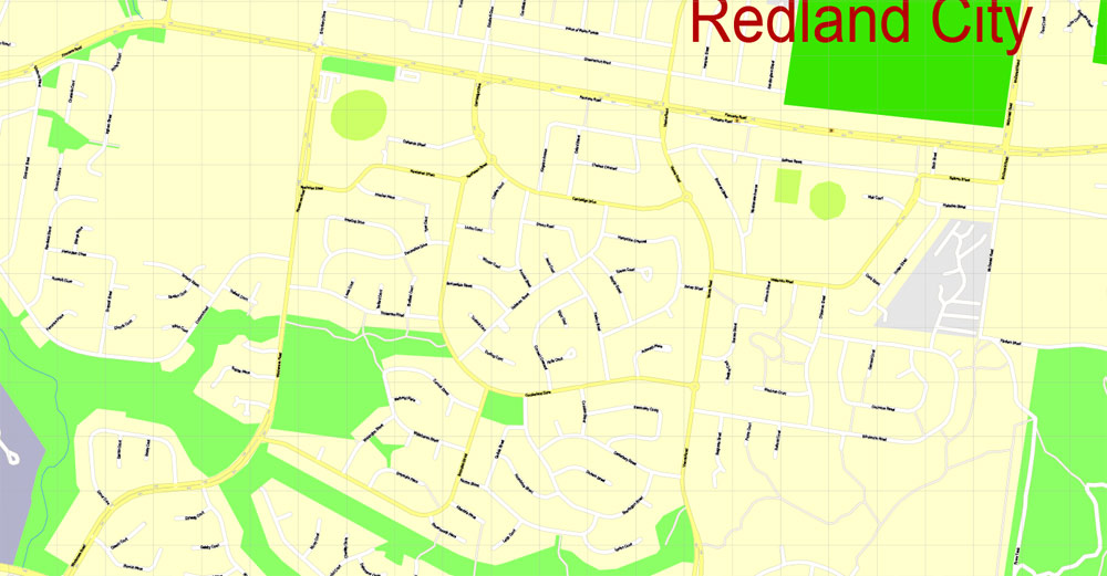
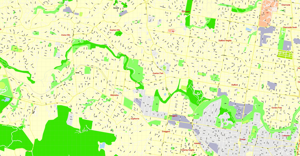
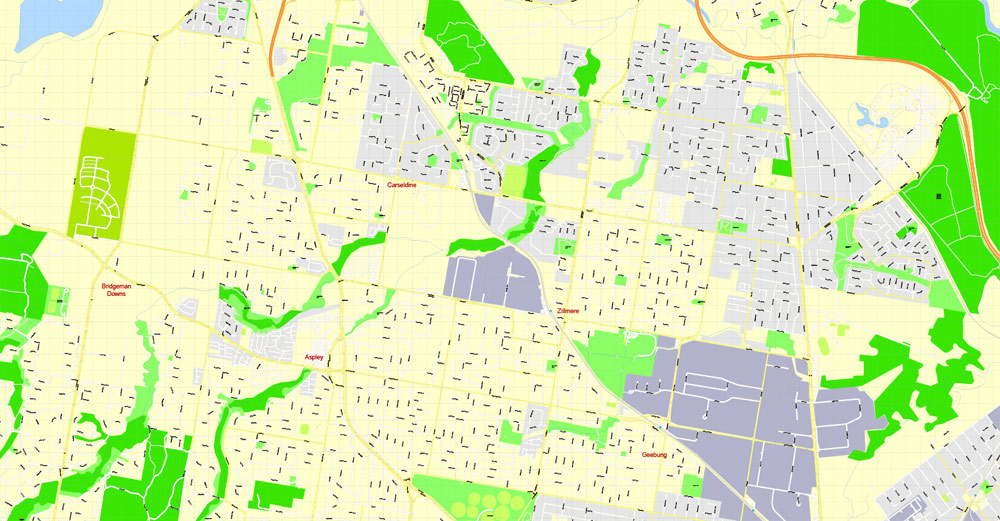
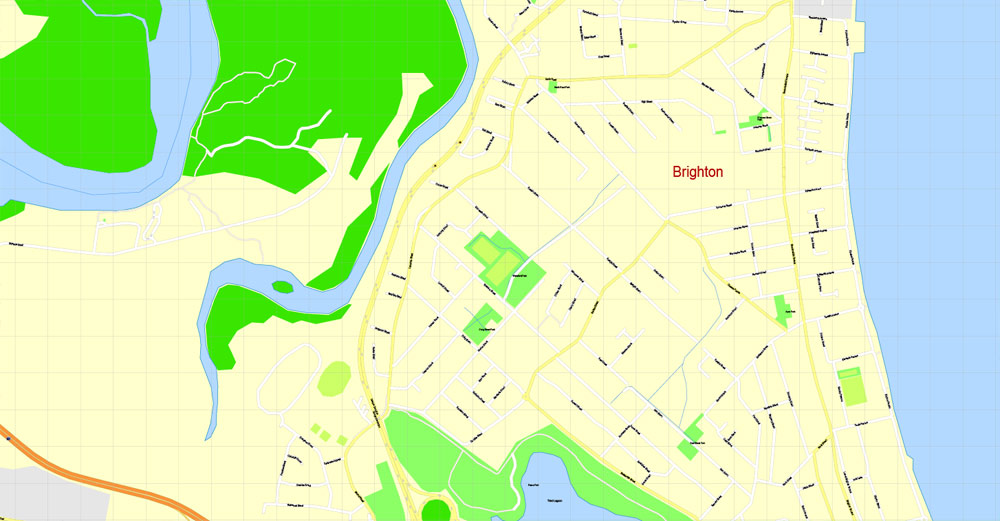
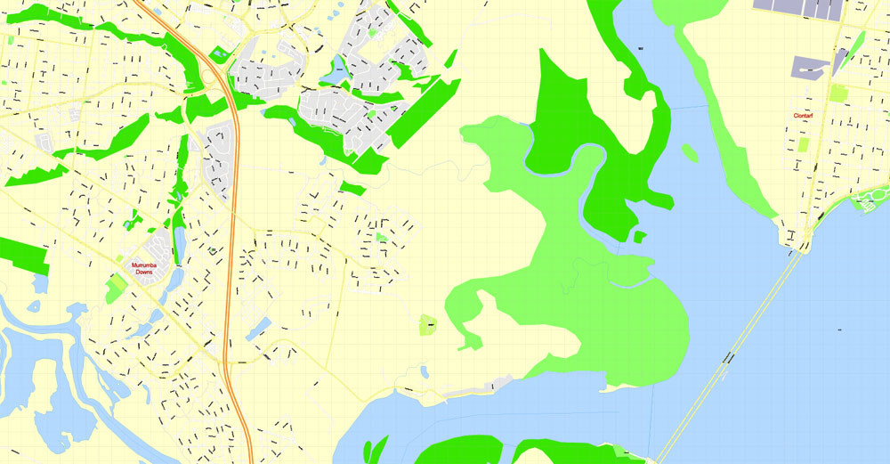
This vector map of Brisbane city is used as a basis for design, editing, and further printing.
This is the most detailed, exact map of Brisbane city for high-quality printing and polygraphy. You can always clarify the map development date by contacting us.
For your convenience, all objects on Brisbane vector city map are divided into layers. And the editing is very easy – colors, lines, etc.
Brisbane is the capital and most populous city of Queensland, and the third most populous city in Australia. Its estimated population is 2.5 million as of 2018, while the South East Queensland region, which is centred on Brisbane, encompasses a population of more than 3.5 million.
This vector map of Brisbane city is used by:
designers, layout designers, printers, advertisers and architects. Our product – vector maps – is designed for further editing and printing in large formats – from @Wall format (a few meters) to A-0 and A-1, A-2, A-3.
The Brisbane city map in vector format is used for design, urban planning, presentations and media visualizations.
The advertising and presentation map of Brisbane city (usually the final designer marks the routes, and puts the client’s objects (shops, saloons, gas stations etc.)
The undoubted advantage is that people will NEVER throw out this advertising product – the map. In fact, as an advertising medium, a city map is the most “long-playing” of the well-known polygraphic advertising media, with the longest lifespan, and the maximum number of interactions with the customer.
For travelers, maps are sold at the airports and gas stations around the world. Often the source is our vector maps.
Take a look, who purchases our vector maps of Brisbane city in “Our Clients and Friends” page – these are large and small companies, from super-brands like Volvo and Starbucks, to small design studios and printing houses.
It’s very easy to work with vector maps of Brisbane city, even for a not very experienced designer who can turn on and off the map layers, add new objects, change the colors of fill and lines according to customer requirements.
The undoubted advantage of Brisbane city vector maps in printing is an excellent and detailed visualization, when customer can expand a large paper map and instantly define his location, find a landmark, an object or address on map, unlike using the popular electronic formats of Google and Yandex maps for example.
Printable vector maps of Brisbane city are much more convenient and efficient than any electronic maps on your smartphone, because ALL DETAILS are displayed in the entire space of Brisbane city map.
Useful tips on working with vector maps of cities and countries in Adobe Illustrator.
«V» – launches the Selection tool (cursor, black arrow), which makes active any vector line.
«А» – launches the Direct Selection tool (white cursor), allows you to select curve elements and drag them to the desired place.
«R» – activates the Rotate tool, which helps you rotating selected objects around the center point by 360 degrees.
«E» – gives you the opportunity to use the Eraser tool and erase unnecessary parts.
«X» – switches between Fill and Stroke in the Tools section. Try to get used to this hot key and
you will quickly understand that you can’t live and work without it.
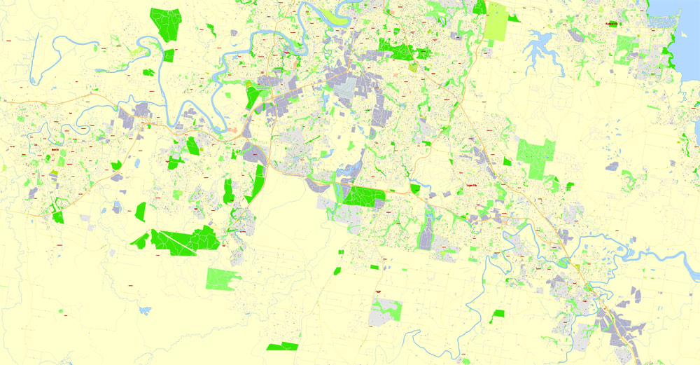
The CBD stands in a peninsula on the Brisbane River, located 15 kilometres (9 miles) from its mouth at Moreton Bay. The metropolitan area extends in all directions along the flood plain of the Brisbane river valley between Moreton Bay and the Great Dividing Range, sprawling across several of Australia’s most populous local government areas (LGAs), including the City of Brisbane, which is the most populous LGA in Australia, as well as Moreton Bay Region, Logan City, City of Ipswich, and Redland City. The demonym of Brisbane is “Brisbanite”.
Guides are not limited to vertical and horizontal in Adobe Illustrator. You can also create a diagonal guide for example. Moreover, you can turn any contours into guides. Select the outline and go to View > Guides > Make Guides (Create Guides), or simply press Cmd/Ctrl + 5. You can also turn the guides back into an editable object. Go to menu, View > Guides > Unlock Guides (Release Guides), select the guide you want to edit and select View > Guides > Release Guides (Reset Guides), or just press Cmd/Ctrl + Option / Alt + 5).
You will probably want to change the color scheme used on our Brisbane vector city map.
To quickly and effectively play with colors.
Of course, you can do it manually, all objects in our Brisbane city vector map are divided according to types and layers, and you can easily change the color gamma of vector objects in groups and layers.
But there is more effective way of working with the whole VECTOR MAP of Brisbane city and all layers:
The overview dialog «Edit colors»/«Repaint Graphic Object» (this dialog box name can change depending on the context):
If you have selected a part or a layer of Brisbane city vector map and open the dialog box by clicking the icon in the Control panel, on the Samples palette or the Color Catalog, or if you choose Edit > Edit Colors> Repaint Graphic Object, then the «Repaint Graphic Object» dialog box appears, and you get access to «Assign» and «Edit» tabs.
One of the oldest cities in Australia, Brisbane was founded on the homelands of the Indigenous Turrbal and Jagera peoples. The city’s origins began with the Moreton Bay penal settlement, founded by the British Empire as a place for secondary offenders from Sydney. For a short period the settlement was known as Edenglassie, before being renamed after the river in which it stood-which in turn was named after the governor, Sir Thomas Brisbane.
If a picture or a map fragment is not selected, and you open the dialog box by clicking the icon in the Control panel, on the Samples palette or in the Color Catalog, the «Edit Colors» dialog box appears and you can only access the «Edit» tab.
Regardless of the name at the top of the dialog box, the right-hand side always displays the color group of the current document, as well as two default color groups: Print Color and Grayscale. These color groups can be selected and used any time.
Create and edit color groups of Brisbane city vector map, and also assign colors using the «Edit Colors»/ а «Repaint Graphic Object» dialog box.
A. Creating and editing of a color group on the «Edit» tab
B. Assigning colors on the «Assign» tab
C. Select a group of colors from the «Color groups» list
The option «Repaint a graphic object» in the lower part of the dialog box allows you to preview the colors on a selected layer of Vector map, or a group of elements, and specify whether its colors will be redefined when the dialog box is closed.
Initially free settlement was prohibited within 50 miles (80 km) of the penal colony. However a German missionary settlement was permitted at Zions Hill in 1838. Following the official closure of the penal colony in 1839, Brisbane and the surrounding districts were available for free settlement from 1842. Brisbane was designated as the capital of Queensland in 1859. Subsequent development of the city was hampered by disasters like the Great Fire of Brisbane in 1864, and the Great Flood of Brisbane in 1893. Later during World War II, the city was instrumental to the defence of the nation, and acted as the Allied headquarters for the Pacific Theatre.
The main areas of the dialog box are:
«Edit»
The «Edit» tab is designed to create a new or edit the existing color groups.
The harmony rules Menu and the Color Wheel are used to conduct experiments with color harmonies. The color wheel shows how colors are related in color harmony, and the color bars allow you to view and manipulate an individual color values. In addition, you can adjust the brightness, add and remove colors, save color groups and view colors on the selected Vector Map of Brisbane city or a separated layers.
«Assign»
The «Assign» tab is used to view and control on how the original colors are replaced with colors from the color group like your corporate colors in the Vector Map of Brisbane city.
The assign color ability is provided only if the entire map, layer or fragment is selected in the document. You can specify which of new colors replace the current colors, whether the spot colors should be preserved and how colors are replaced (for example, you can replace colors completely or changing the color tone while maintaining the brightness). The «Assign» tab allows you to redefine colors in the Vector Map of Brisbane city, or in separate layers and fragments using the current color group or reducing the number of colors in the current Vector Map.
After the war, the city became an important destination for immigrants into Australia, transforming the city’s development and population.
Brisbane has prominent cultural institutions such as; Australia’s largest modern art gallery, the GOMA, and its largest theatre precinct, QPAC. The city is also home to prominent national sites and precincts: South Bank Parklands, City Hall, St John’s Cathedral, Queen’s Wharf historic precinct, State Parliament, ANZAC Square, Treasury Building, The Old Windmill, and West End. Brisbane is also known for its skyline, with many of its skyscrapers amongst the tallest in Australia, including 1 William. A main feature of Brisbane is its Queenslander architecture which forms much of the inner-city’s built heritage. Brisbane is often used as a gateway to access regional areas such as the Gold Coast, Sunshine Coast, Toowoomba, Moreton and Stradbroke Island, and the Gondwana Rainforests.
Color groups
Is a list of all saved color groups for current document (the same groups appear in the «Samples» palette). You can edit and delete the existing color groups, as well as creating a new ones using the list of “Color Groups” in the dialog box. All changes appear in the «Samples» palette.
The highlighted color group shows, which color group is currently edited.
Any color group can be selected and edited, or used to redefine the colors in the selected vector map of Brisbane city, its fragments or elements.
Saving a color group adds this group to the specified list.
Opening the «Edit Colors»/«Repaint Graphic Object» dialog box.
Open the «Edit Colors»/«Repaint Graphic Object» dialog box using one of the following methods:
«Edit»> «Edit Colors»> «Repaint Graphic object» or «Repaint With Style».
It is also the main international gateway to state icons, the Great Barrier Reef, Fraser Island, and the Whitsunday Islands. In 2016, the Globalization and World Cities Research Network ranked Brisbane as a Beta world city.
Use these commands if you need to edit the colors in the selected vector map of Brisbane city.
«Repaint Graphic object» button on the «Control» panel.
Use this button if you need to adjust colors of Brisbane city vector map using the а «Repaint graphic object» dialog box.
The specified button is available if the selected vector map or its fragment contains two or more colors.
Note. This color editing method is convenient for global color adjustment in a vector map, if global colors were not used when creating a City Map of Brisbane.
The «Edit colors» button or «Edit or apply colors» on the «Color Catalog» palette
Click this button if you need to edit colors on the «Color Catalog» palette or edit and then apply them to the selected Vector Map of Brisbane city or its fragment.
The «Edit color group» button or «Edit or apply color group» on the «Samples» palette.
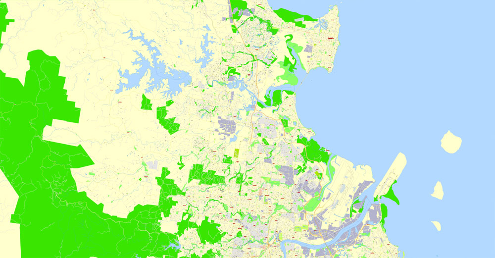
Geography
Brisbane is in the southeast corner of Queensland. The city is centred along the Brisbane River, and its eastern suburbs line the shores of Moreton Bay. The greater Brisbane region is on the coastal plain east of the Great Dividing Range. Brisbane’s metropolitan area sprawls along the Moreton Bay floodplain from Caboolture in the north to Beenleigh in the south, and across to Ipswich in the south west.
Click this button if you need to edit the colors in the specific color group or edit and apply them to the selected Vector Map of Brisbane city or a group of its elements, for example, the whole layer “Streets and lines”. You can also double-click the color group in the Samples panel to open the dialog box.
If the map file is too large and your computer freezes or even can’t open it quickly:
1. Try to reduce the color resolution of the video card (display) to 256 colors while working with a large map.
2. Using Windows Task Manager, select all the application you don’t need, while working with map, just turn them off.
3. Launch Adobe Illustrator. (DO NOT OPEN the vector map file)
4. Start the Windows Task Manager using administrator rights > Find the “Illustrator” process > set the «real time» priority,
5. Open the file. When you see the LEGACY FONT popup window – click “OK” (do not update). You can restore the TEXT later.
6. Can also be useful: When file is opened – Edit > Settings > Basic Settings > disable smoothing. /// It looks scary, but works quickly)))
We recommend saving the file in Adobe Illustrator 10 version. It’s much more stable when working with VERY BIG size files.
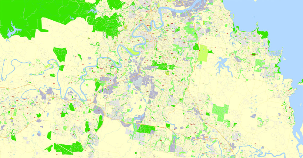
The city of Brisbane is hilly. The urban area, including the central business district, are partially elevated by spurs of the Herbert Taylor Range, such as the summit of Mount Coot-tha, reaching up to 300 m (980 ft) and the smaller Enoggera Hill. Other prominent rises in Brisbane are Mount Gravatt and nearby Toohey Mountain. Mount Petrie at 170 m (560 ft) and the lower rises of Highgate Hill, Mount Ommaney, Stephens Mountain, and Whites Hill are dotted across the city. Also, on the west, are the higher Mount Glorious, (680 m), and Mount Nebo (550 m).
The city is on a low-lying floodplain. Many suburban creeks criss-cross the city, increasing the risk of flooding. The city has suffered three major floods since colonisation, in February 1893, January 1974, and January 2011. The 1974 Brisbane Flood occurred partly as a result of Cyclone Wanda. Heavy rain had fallen continuously for three weeks before the Australia Day weekend flood (26–27 January 1974). The flood damaged many parts of the city, especially the suburbs of Oxley, Bulimba, Rocklea, Coorparoo, Toowong, and New Farm. The City Botanic Gardens were inundated, leading to a new colony of mangroves forming in the City Reach of the Brisbane River.
Urban structure
The Brisbane central business district (CBD) lies in a curve of the Brisbane river. The CBD covers 2.2 km2 (0.8 sq mi) and is walkable. Central streets are named after members of the House of Hanover. Queen Street is Brisbane’s traditional main street. Streets named after female members (Adelaide, Alice, Ann, Charlotte, Elizabeth, Margaret, and Mary) run parallel to Queen Street and Queen Street Mall (named in honour of Queen Victoria) and perpendicular to streets named after male members (Albert, Edward, George, William). The city has retained some heritage buildings dating back to the 1820s. The Old Windmill in Wickham Park, built by convict labour in 1824, is the oldest surviving building in Brisbane.
The Old Windmill was originally used for the grinding of grain and a punishment for the convicts who manually operated the grinding mill. The Old Windmill tower’s other significant claim to fame, largely ignored, is that the first television signals in the southern hemisphere were transmitted from it by experimenters in April 1934—long before TV commenced in most places. These experimental TV broadcasts continued until World War II. The Old Commissariat Store, on William Street, built by convict labour in 1828, was originally used partly as a grainhouse, has also been a hostel for immigrants and used for the storage of records. Built with Brisbane tuff from the nearby Kangaroo Point Cliffs and sandstone from a quarry near today’s Albion Park Racecourse, it is now the home of the Royal Historical Society of Brisbane. It contains a museum and can also be hired for small functions.
Greater Brisbane had a density of 148 people per square kilometre in 2016. Like most Australian and North American cities, Brisbane has a sprawling metropolitan area which takes in excess of one hour to traverse either north to south or east to west by car without traffic.
Pre-1950 housing was often built in a distinctive architectural style known as a Queenslander, featuring timber construction with large verandahs and high ceilings. The relatively low cost of timber in south-east Queensland meant that until recently, most residences were constructed of timber, rather than brick or stone.
Many of these houses are elevated on stumps (also called “stilts”), that were originally timber, but are now frequently replaced by steel or concrete. Queenslander houses are considered iconic to Brisbane and are typically sold at a significant premium to equivalent modern houses. Early legislation decreed a minimum size for residential blocks causing few terrace houses being constructed in Brisbane. The high-density housing that historically existed came in the form of miniature Queenslander-style houses which resemble the much larger traditional styles, but are sometimes only one-quarter the size. These houses are common in the inner-city suburbs. At the 2016 census, 76.4% of residents lived in separate houses, 12.6% lived in apartments, and 10% lived in townhouses, terrace houses, or semidetached houses. Brisbane is home to several of Australia’s tallest buildings. Brisbane’s tallest building is 1 William Street at 260 m, to be overtaken by the 270-m Brisbane Skytower, which is currently under construction.


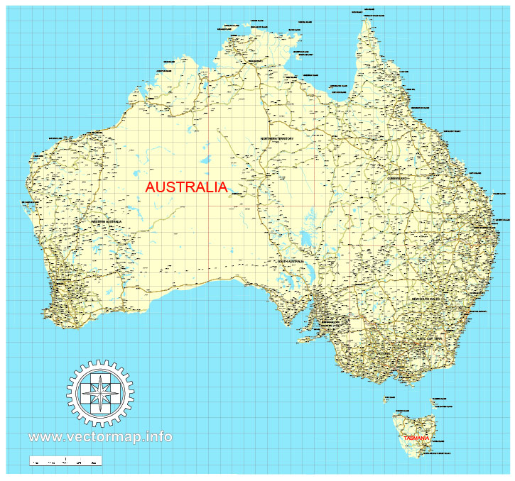
Free download vector map Australia, Adobe Illustrator, download now Free maps vector clipart >>>>>
Map for design, projects, presentation free to use as you like.
Share it!
Small guide: How to work with the vector map?
You can: Mass select objects by type and color – for example, the objects type “building” (they are usually dark gray) – and remove them from the map, if you do not need them in your print or design project. You can also easily change the thickness of lines (streets), just bulk selection the road by the line color.
The streets are separated by type, for example, type “residential road” are usually white with a gray stroke. Highway usually orange with a brown or dark gray stroke.
It is easy to change the font of inscriptions, all or each individually. Also, just can be make and any other manipulation of objects on the vector map in Adobe illustrator format.
Important: All the proportions on the map are true, that is, the relative sizes of the objects are true, because Map is based on an accurate GPS projection, and It transated into the (usual for all) the Mercator projection.
You can easily change the color, stroke and fill of any object on the map, zoom without loss of quality Image Verification.
Select object

Bulk selection the same objects on the vector map

See the bulk selected objects on the vector map

Bulk delete buildungs from the vector map

Select residencial road (small street) on the vector map

Bulk selection the same lines (streets, roads) on the full map

Create fat lines of the streets on the vector maps (bulk action) 1

Create fat lines of the streets on the vector maps (bulk action) 2

Create fat lines of the streets on the vector maps (bulk action) 3

You can easily change the color, stroke and fill of any object on the map, zoom without loss of quality Image Verification.

 Author: Kirill Shrayber, Ph.D. FRGS
 Street Map editable Adobe Illustrator in layers")

